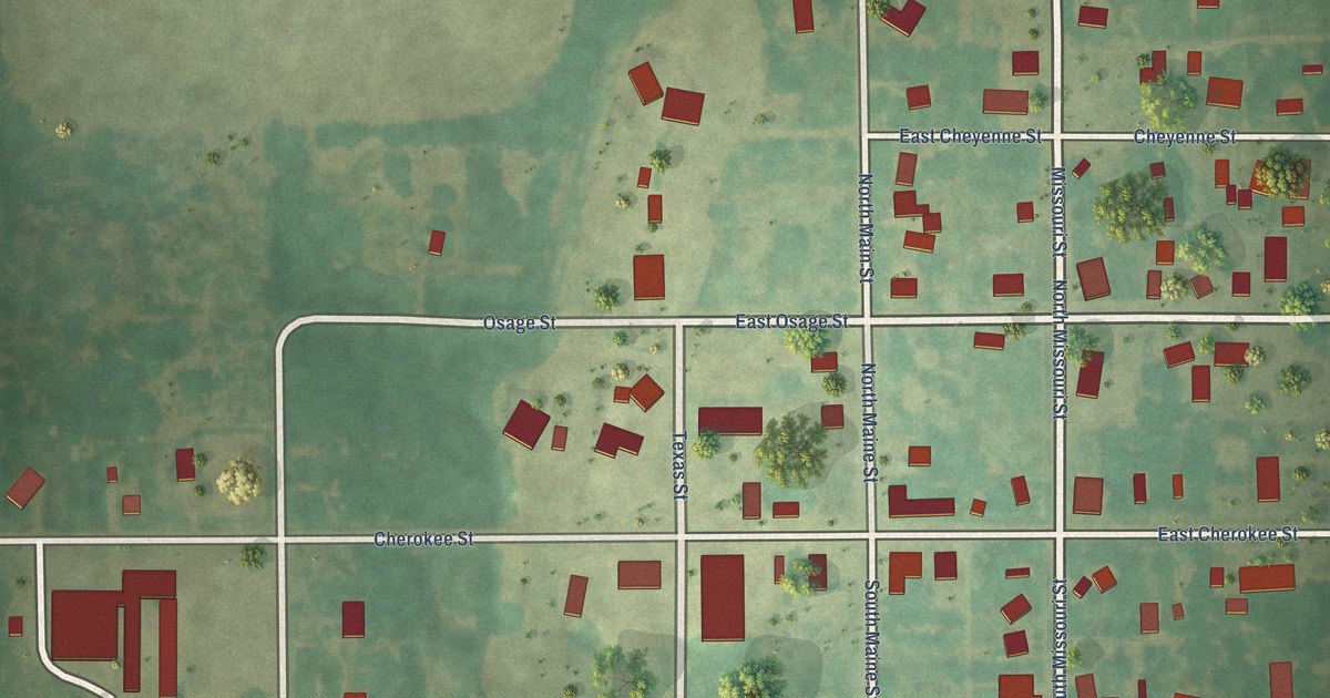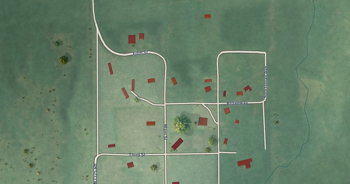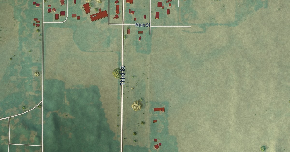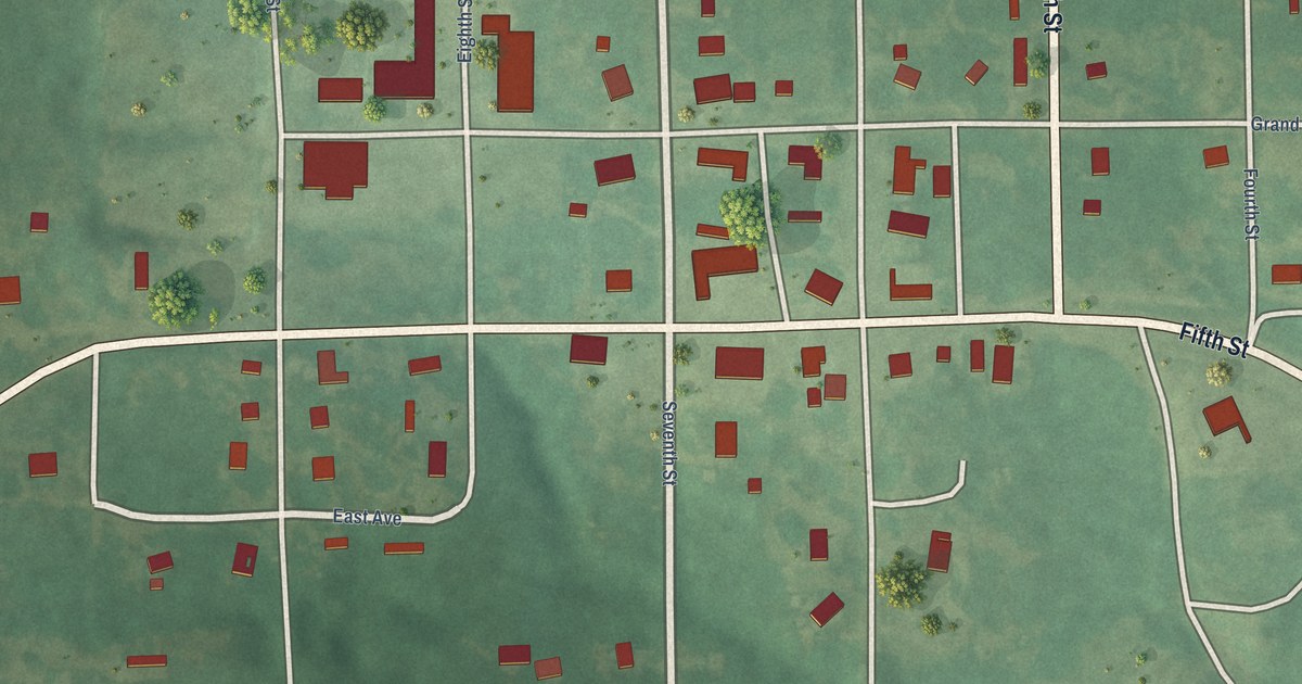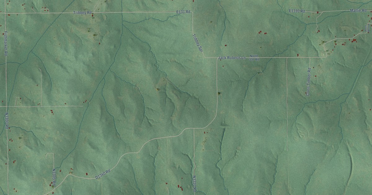
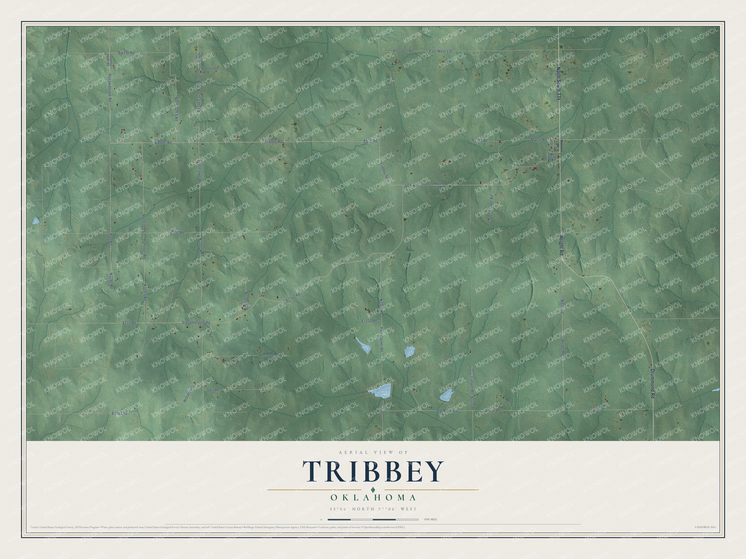
This beautifully detailed map of Tribbey, Oklahoma was created in 2026 using aerial imagery combined with modern topographical, census, street and landmark data. It's a modern aerial view of Tribbey in Pottawatomie County, Oklahoma, that combines modern data with a vintage aesthetic. The roads feature printed names, and if you look closely you can find your exact house accurately shown in its correct location.
Explore an aerial view of Tribbey, Oklahoma
On this map you'll find North South 334, Drummond Road, Wright Road, E131 Road, Pine Corner Road, Tribbey Spr, Jack Roberts Lane, Slaughterville Road, Banner Road, E133 Road, D1340 Road, Pottawatomie Road, and more. Each red shape is a building, so zoom in on the preview and look for yours.
Here is a piece of Tribbey history, in the words of the record. The record at okhistory.org puts it this way: "When the Iowa, Sac and Fox, Citizen Band Potawatomi, and Absentee Shawnee lands opened for settlement on September 22, 1891, Tribbey staked a claim."
Tribbey is a town in Pottawatomie County.
Take a closer look at the Tribbey map
Names on this map
These names are printed on this map.
Streets and roads: North South 334, Drummond Road, Wright Road, Pine Corner Road, Tribbey Spr, Jack Roberts Lane, Slaughterville Road, Banner Road, Pottawatomie Road, Tribbey Road, North 329.8 Road, Pott Road.
More street names, A to Z
Canyon Road, County Line Road, Cross Timber Road, Dutton Road, East West 130, Ew130 Road, Fishmarket Road, Goit Road, Hamilton Road, Main Street, Mattie Road, McConnell Road, Moral Road, North 329.4, North 337 Road, North 3300 Road, North South 330 Road, North West Street, Old Moral Road, Patterson Road, Prospect Road, Shorter Lane, Stevens Road, Weeden Street, Williams Road.
Created by KNOWOL in 2026. The buildings are small red shapes, the roads carry their printed names, and shaded relief shows the shape of the land. The title panel reads "AERIAL VIEW OF TRIBBEY OKLAHOMA" with 35°06' NORTH 97°06' WEST.
It suits a den, a classroom or a front hall, and it makes a gift for anyone with Tribbey roots. Open the preview and find the block you know. See sizes and frames for the Tribbey map.