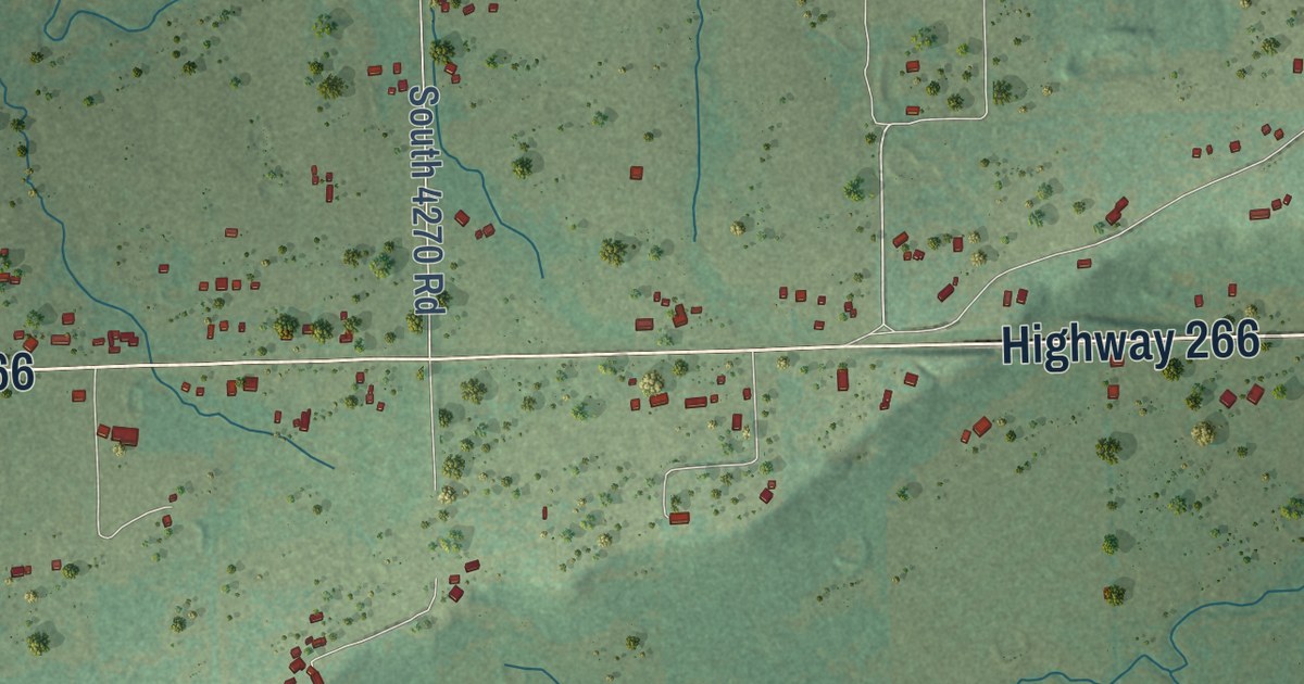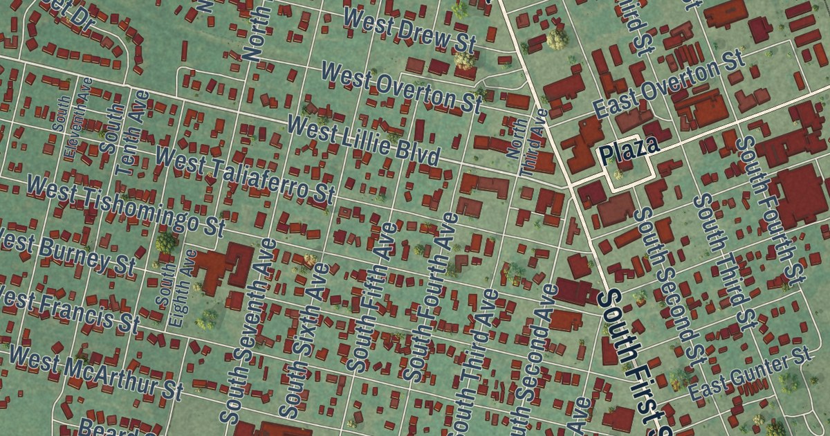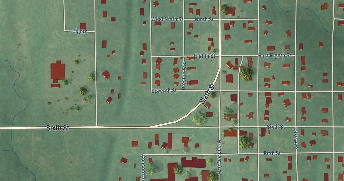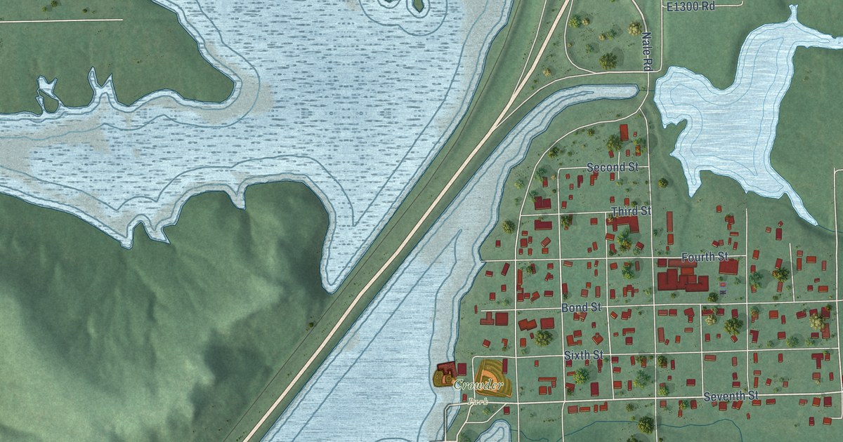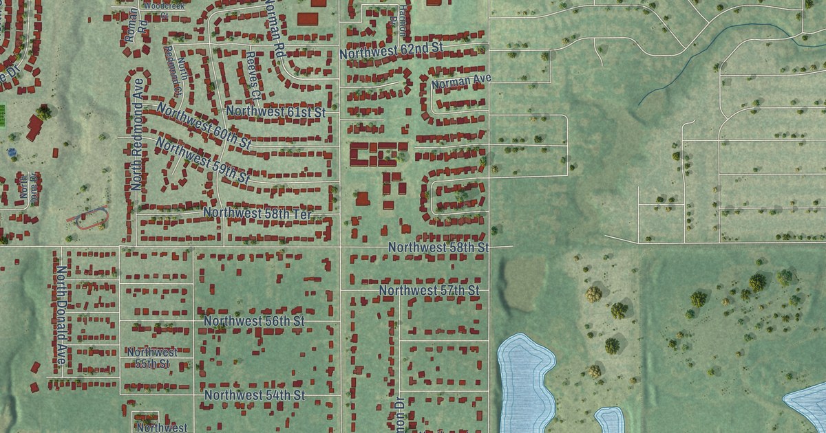
This beautifully detailed map of Warr Acres, Oklahoma was created in 2026 using aerial imagery combined with modern topographical, census, street and landmark data. It’s a one-of-a-kind view of Warr Acres that combines accurate data with a vintage aesthetic. The map shows every building in its true location, many of the roads carry their names, and the shaded topographic relief shows the shape of the land.
Explore an aerial view of Warr Acres, Oklahoma
On the map you’ll find Warr Acres City Hall and Bethany, along with Northwest Expressway, Northwest 39th Expressway, West Wilshire Boulevard, Cherokee Drive, Hidden Trail Lane, Northwest 67th Street, Northwest 46th Street, Northwest 72nd Street, North College Street, North Macarthur Boulevard, and more. If you look closely you can even find your house accurately drawn in its correct location. Zoom in on the preview to look for yours.
Did you know this piece of Warr Acres, Oklahoma history?
From Okhistory.org: "In 1909 Israel M. Putnam, real estate developer and member of the first state legislature, had purchased land west of Oklahoma City in Council Grove Township."
Warr Acres is a city in Oklahoma County.
Take a closer look at the Warr Acres map
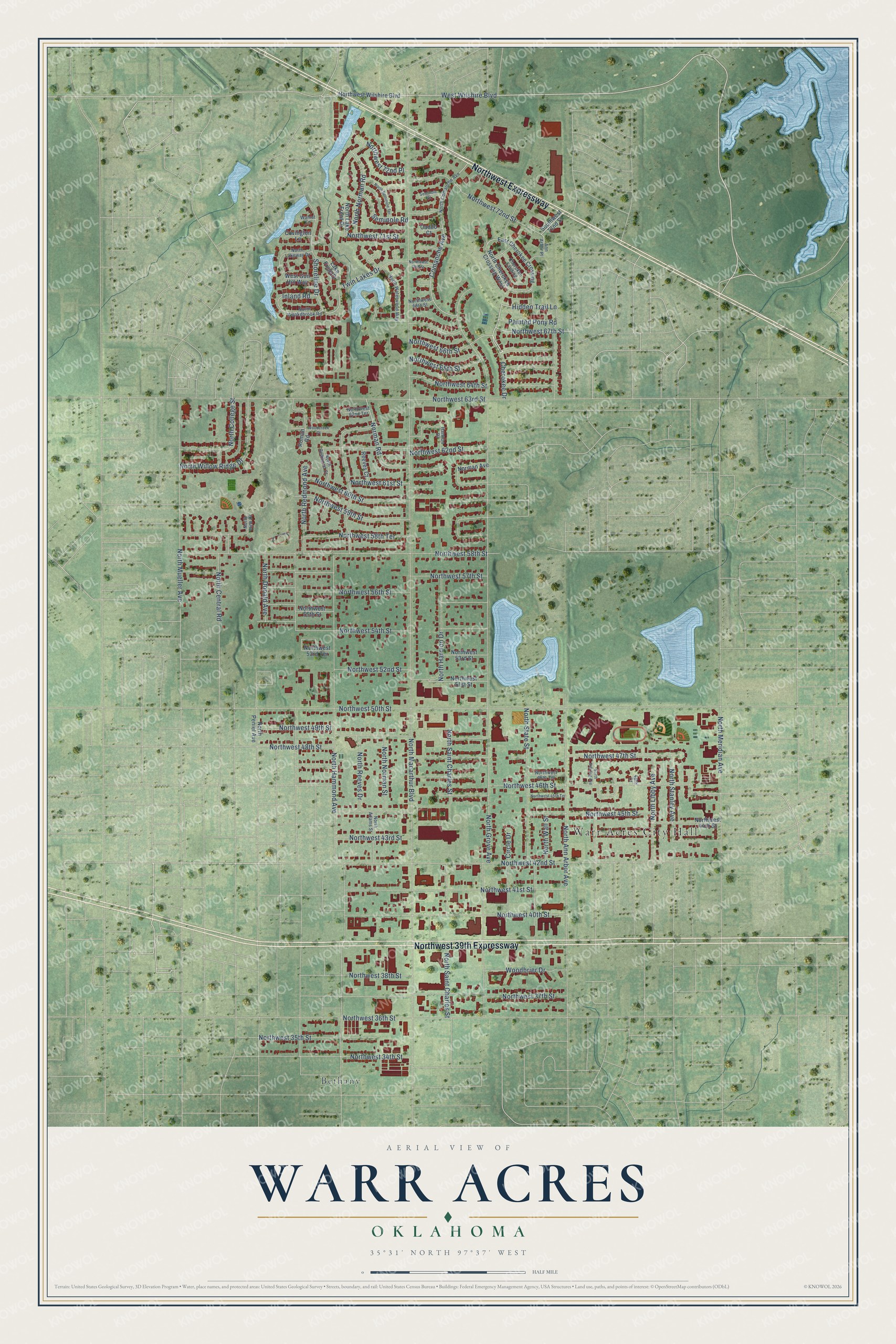
Street and place names on the Warr Acres, Oklahoma map
These names are printed on the map of Warr Acres, Oklahoma.
Places: Warr Acres City Hall and Bethany.
Streets and roads: Northwest Expressway, Northwest 39th Expressway, West Wilshire Boulevard, Cherokee Drive, Hidden Trail Lane, Northwest 67th Street, Northwest 46th Street, Northwest 72nd Street, North College Street, North Macarthur Boulevard, North Hammond Avenue, North Grove Avenue.
More street names, A to Z
46th Court, Ann Arbor Place, Caddo Court, Cherokee Landing, Circle Drive, Comanche Avenue, Covington Lane, East Cherokee Crossing, Harmon Drive, Inland Road, Lake Front Drive, Norman Avenue, Norman Road, North Adams Street, North Ann Arbor Avenue, North Central Road, North Cherokee Crossing West, North Comanche Avenue, North Donald Avenue, North Harmon Drive, North Ione Drive, North Lake Front Drive, North Lakeway Drive, North Libby Avenue, North Meridian Avenue, North Mueller Avenue, North Norman Road, North Norman Street, North Peniel Avenue, North Redmond Avenue, North Redmond Court, North Reeves Drive, North Saint Charles Street, North Seminole Terrace, North Stanley Avenue, North State Street, North Sterling Avenue, North Wall Street, North Waterwood Way, Northwest 34th Street, Northwest 35th Street, Northwest 36th Street, Northwest 37th Street, Northwest 38th Street, Northwest 40th Street, Northwest 41st Street, Northwest 42nd Street, Northwest 43rd Street, Northwest 44th Street, Northwest 45th Street, Northwest 45th Terrace, Northwest 46th Terrace, Northwest 47th Street, Northwest 48th Street, Northwest 49th Street, Northwest 50th Street, Northwest 51st Street, Northwest 52nd Street, Northwest 53rd Street, Northwest 53rd Terrace, Northwest 54th Street, Northwest 55th Street, Northwest 56th Street, Northwest 57th Street, Northwest 58th Street, Northwest 58th Terrace, Northwest 59th Street, Northwest 60th Street, Northwest 61st Street, Northwest 62nd Street, Northwest 62nd Terrace, Northwest 63rd Street, Northwest 64th Street, Northwest 65th Street, Northwest 66th Street, Northwest 68th Street, Northwest 70th Street, Northwest 71st Street, Northwest 72nd Place, Northwest Wilshire Boulevard, North Willow Ridge Drive, North Wookdbrook Road, Painted Pony Road, Reeves Court, Roman Road, Seminole Court, Seminole Road, Shoreline Drive, Southwest 72nd Street, Twin Lakes Drive, Walnut Lane, West Gun Hill Way, Woodbrier Drive, Woodcreek Court.
See the Warr Acres, Oklahoma map on a wall
The Warr Acres map as an 18 x 24 inch print in a black frame.

This beautifully detailed map of Warr Acres makes an attractive addition to your office, library, or den, and it can even be used to teach children the geography and history of the area. It also makes a great gift for someone who left Warr Acres and still calls it home. When you’re done exploring, click here to get your copy of the Warr Acres map.