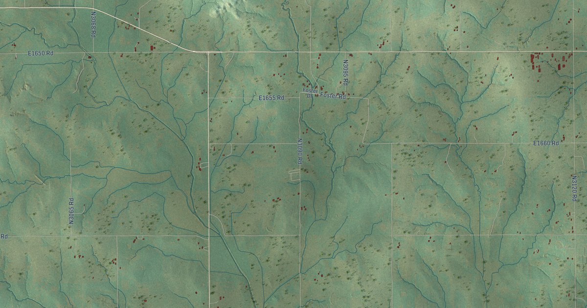
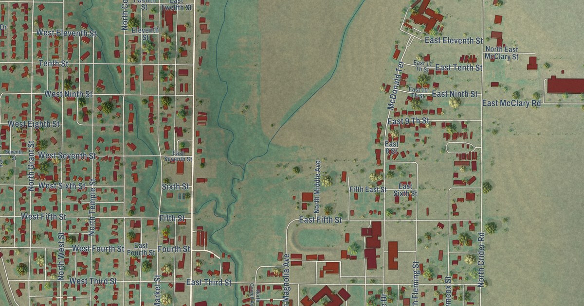
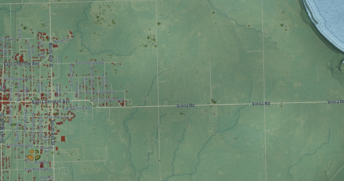
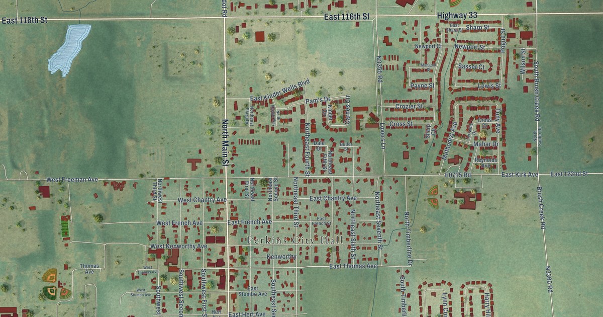
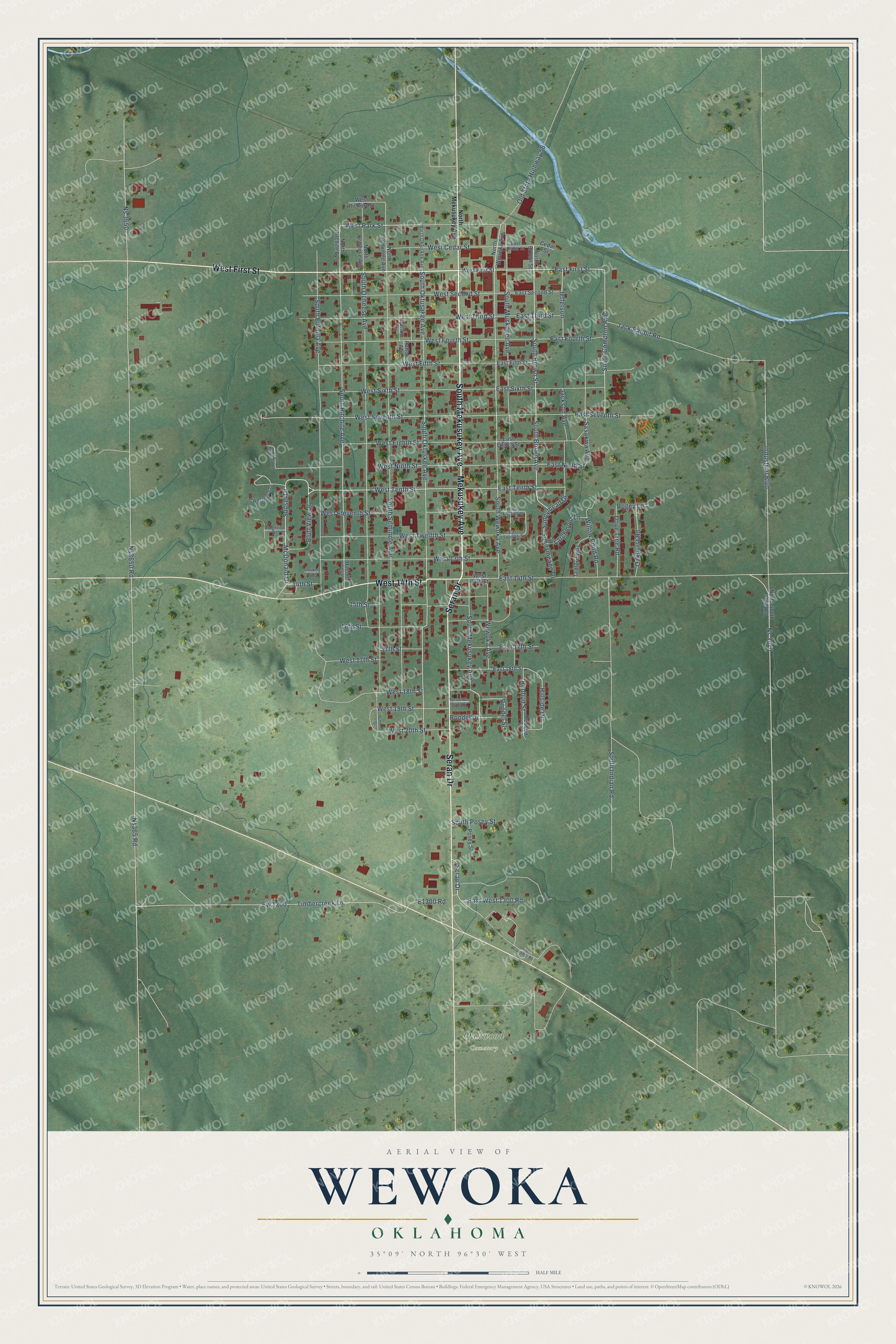
This beautifully detailed map of Wewoka, Oklahoma was created in 2026 using aerial imagery combined with modern topographical, census, street and landmark data. It's a modern aerial view of Wewoka in Seminole County, Oklahoma, that combines modern data with a vintage aesthetic. The roads feature printed names, and if you look closely you can find your exact house accurately shown in its correct location.
Explore an aerial view of Wewoka, Oklahoma
On this map you'll find Oakwood Cemetery, South Mekusukey Avenue, Seran Drive, West First Street, Mekusukey Avenue, West 14th Street, Sunset Drive, Bluff View Drive, McDonald Drive, West Tenth Street, East First Street, Rondel Drive, and more. Each red shape is a building, so zoom in on the preview and look for yours.
Every town has a first chapter, and Wewoka is no exception. The record at okhistory.org puts it this way: "In 1895 the Choctaw, Oklahoma and Gulf Railroad (after 1902 the Chicago, Rock Island and Pacific Railway) ran its line from McAlester to Oklahoma City, passing through Wewoka."
Wewoka is a city in Seminole County.
Take a closer look at the Wewoka map
Names on this map
These names are printed on this map.
Places: Oakwood Cemetery.
Streets and roads: South Mekusukey Avenue, Seran Drive, West First Street, Mekusukey Avenue, West 14th Street, Sunset Drive, Bluff View Drive, McDonald Drive, West Tenth Street, East First Street, Rondel Drive, West Park Street.
More street names, A to Z
14th Street, 15th Street, 16th Street, 17th Street, 270 Frontage Road, Bogey Lane, Cedar Street, Dove Tree Road, East 14th Street, East 17th Street, East 18th Street, East Cedar Street, East Eighth Street, East Eleventh Street, East Fifth Street, East Fourth Street, East Ninth Street, East Second Street, East Seventh Street, East Sixth Street, East Tenth Street, East Third Street, East Twelfth Street, East West 1300 Road, Ew 1300, Hillside Drive, Hitchite Avenue, Industrial Boulevard, Jack Rabbit Road, Jackson Avenue, Jefferson, Larchmont Lane, North Brown Street, North Hitchite Avenue, North Mekusukey Avenue, North Ocheese Avenue, North Okfuskee Avenue, North Seminole Avenue, North South 3670 Road, North Wewoka Avenue, Ns365 Road, Ns 3650, Ns3650 Road, Ns 3670, Oakhurst Road, Ocheese Street, Old State Highway 56, Patton Avenue, Patton Square, Posey Street, Redbud Drive, Redbud Street, Ridgeline Drive, Rondel Street, Sasakwa Avenue, Smoking Oaks, South Brown Avenue, South Brown Street, South Compton Avenue, South Eufaula Avenue, South Hitchite Avenue, South Indian Road, South Mountain Road, South Muskogee Avenue, South Ocheese Avenue, South Okfusakee Avenue, South Okfuskee Avenue, South Posey Street, South Seminole Avenue, South Wewoka Avenue, Sunnymead Drive, Sunnymeade Drive, Tedford Way, Timbercreek Lane, West 13th Street, West 17th Street, West 18th Street, West 19th Street, West 20th Circle Drive, West 20th Street, West Cedar Street, West Eighth Street, West Eleventh Street, West Fifth Street, West Fourth Street, West Hickory Street, West Ninth Street, West Second Street, West Seventh Street, West Sixth Street, West Third Street, West Twelfth Street, Westwood Drive, Wewoka Avenue, Willow Pond Road.
Created by KNOWOL in 2026. The buildings are small red shapes, the roads carry their printed names, and shaded relief shows the shape of the land. The title panel reads "AERIAL VIEW OF WEWOKA OKLAHOMA" with 35°09' NORTH 96°30' WEST.
Hang it in the hallway, the office or the cabin, or give it to someone who left Wewoka and still calls it home. Open the preview and look for a street you know. See sizes and frames for the Wewoka map.