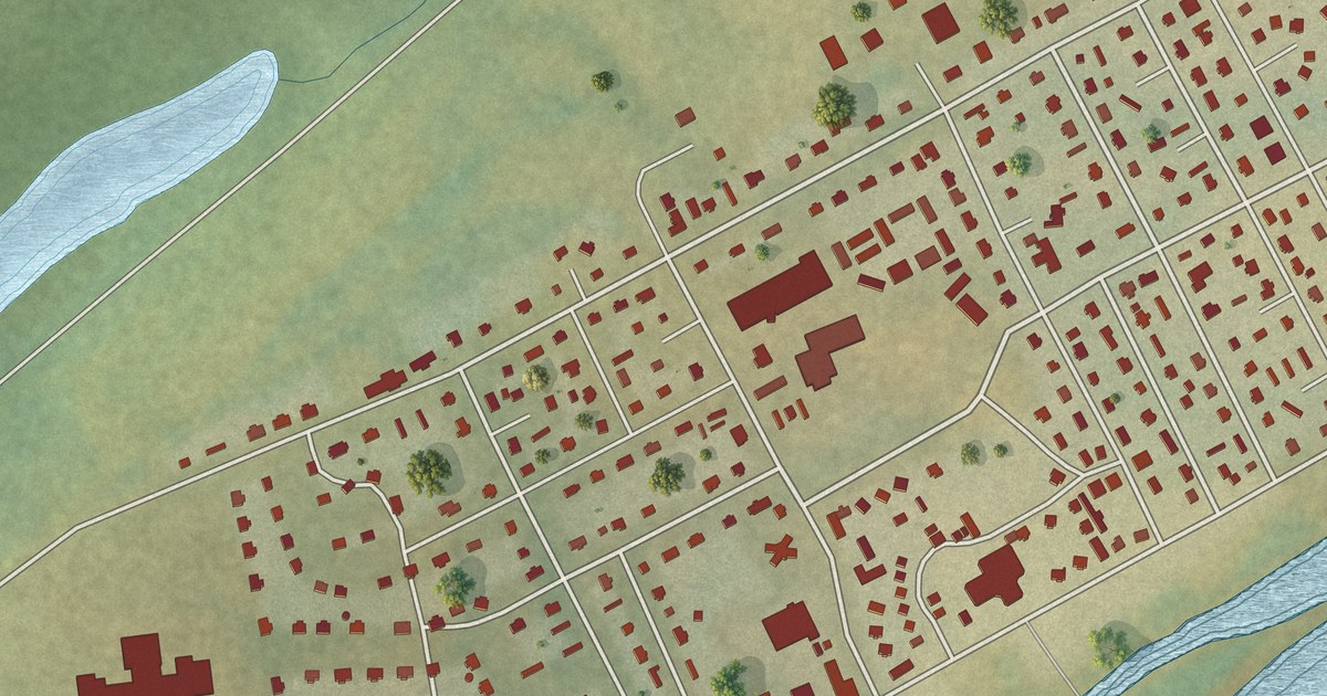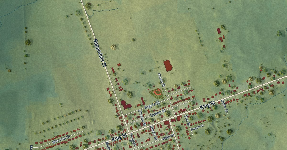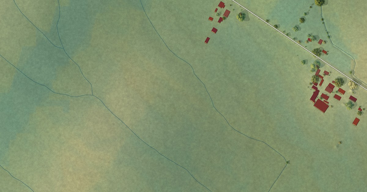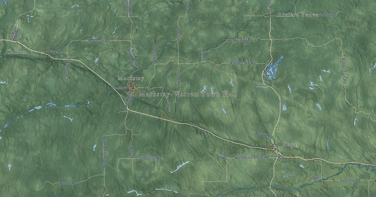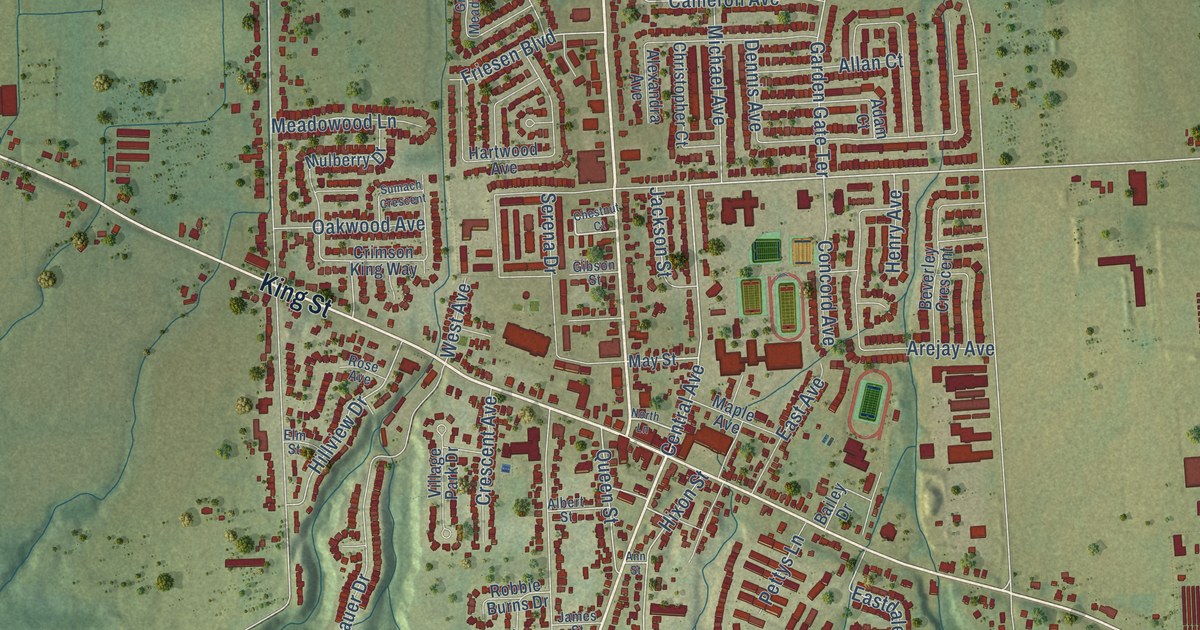
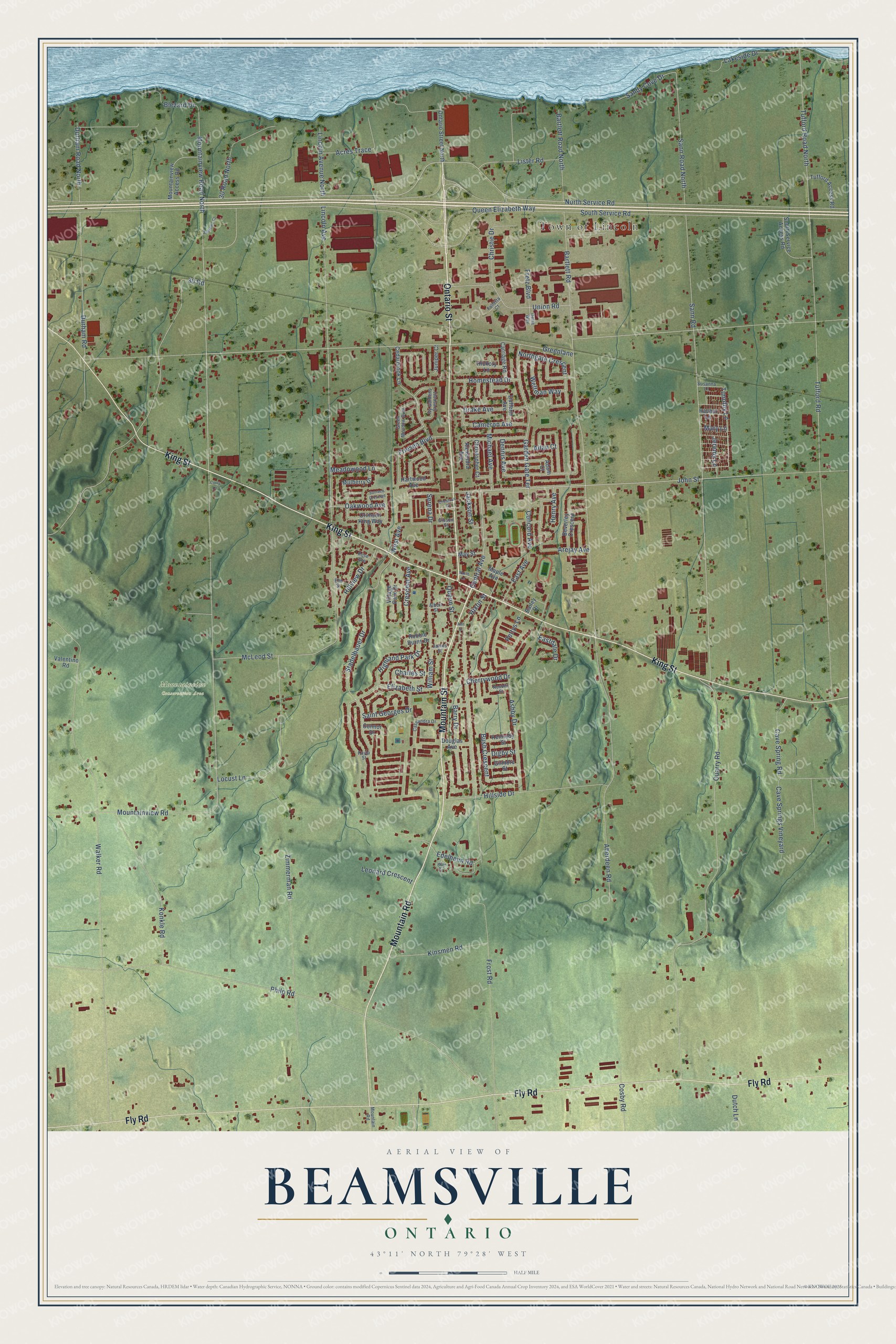
This beautifully detailed map of Beamsville, Ontario was created in 2026 using aerial imagery combined with modern topographical, census, street and landmark data. It’s a one-of-a-kind view of Beamsville that combines accurate data with a vintage aesthetic. The map shows every building in its true location, many of the roads carry their names, and the shaded topographic relief shows the shape of the land.
Explore an aerial view of Beamsville, Ontario
On the map you’ll find Town of Lincoln, Mountainview Conservation Area, and Greenlane, along with King Street, Ontario Street, Mountain Street, Mountain Road, Fly Road, John Street, Central Avenue, Garden Gate Terrace, Queen Street, and more. If you look closely you can even find your house accurately drawn in its correct location. Zoom in on the preview to look for yours.
Take a closer look at the Beamsville map
Names on this map
These names are printed on this map.
Places: Town of Lincoln and Mountainview Conservation Area.
Streets and roads: King Street, Ontario Street, Mountain Street, Mountain Road, Fly Road, John Street, Central Avenue, Garden Gate Terrace, Greenlane, Queen Street, Hixon Street, Mountainview Road.
More street names, A to Z
30 Road, 30 Road North, Aberdeen Road, Acres Trace, Adam Court, Albert Street, Alexandra Avenue, Allan Court, Andrews Court, Ann Street, Arejay Avenue, Ashby Drive, Bailey Drive, Barry Drive, Bartlett Road, Bartlett Road North, Beverley Crescent, Blezard Drive, Bush Crescent, Cameron Avenue, Carriage Road, Cassandra Drive, Cave Spring Road, Cave Springs Vineyard, Cedarbrook Lane, Charles Street, Cherrywood Drive, Chestnut Court, Christie Drive, Christopher Court, Concord Avenue, Connor Drive, Corry Lane, Cosby Road, Crescent Avenue, Crimson King Way, Delta Way, Dennis Avenue, Digby Street, Douglas Avenue, Drake Avenue, Dufferin Avenue, Durham Road, Durham Road North, Dutch Lane, East Avenue, Eastdale Drive, Edelheim Road, Elizabeth Street, Elm Street, Falletta Court, Fretz Boulevard, Friesen Boulevard, Frost Road, Gibson Street, Gilmore Street, Green Meadow Boulevard, Hartwood Avenue, Henry Avenue, Hickory Lane, Highland Park Drive, Hillside Drive, Hillview Drive, Homestead Drive, Ivy Gardens Crescent, Jackson Street, James Street, Jeremy Lane, Juniper Court, Kayla Street, Kennedy Street, Kinsmen Road, Konkle Road, Lakeside Drive, Leonard Crescent, Lincoln Avenue, Lincoln Avenue North, Lister Road, Locust Lane, Maple Avenue, Mary Lane, May Street, McLeod Street, Meadowood Lane, Michael Avenue, Mountainview Access Road, Mountainview Road North, Mulberry Drive, Nesbitt Street, Northgate Crescent, North Lane, North Service Road, Oakwood Avenue, Ontario Street North, Pettys Lane, Philp Road, Quarry Road, Queen Elizabeth Way, Rachel Lane, Robbie Burns Drive, Rose Avenue, Saint Georges Drive, Sandy Cove Drive, Sann Road, Sann Road North, Serena Drive, South Service Access Road, South Service Road, Stadelbauer Drive, Sumach Crescent, Susanna Lane, Timothy Lane, Tufford Access Road, Tufford Road, Tufford Road North, Union Road, Valentino Road, Village Park Drive, Walker Road, Watt Circle, Weltman Way, West Avenue, William Street, Zimmerman Road.
See it on a wall
The Beamsville map as an 18 x 24 inch print in a black frame.

This beautifully detailed map of Beamsville makes an attractive addition to your office, library, or den, and it can even be used to teach children the geography and history of the area. It also makes a great gift for anyone who grew up in Beamsville or moved away. When you’re done exploring, click here to get your copy of the Beamsville map.