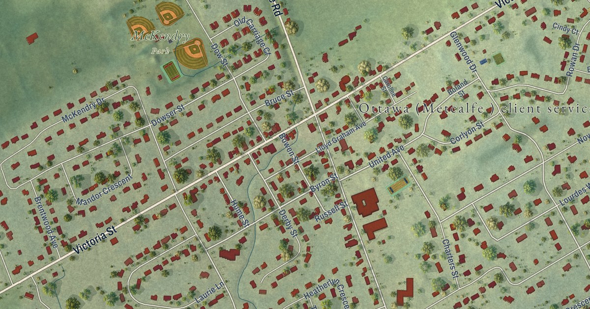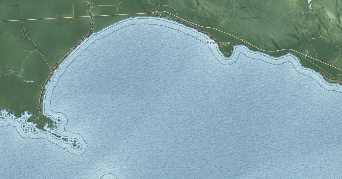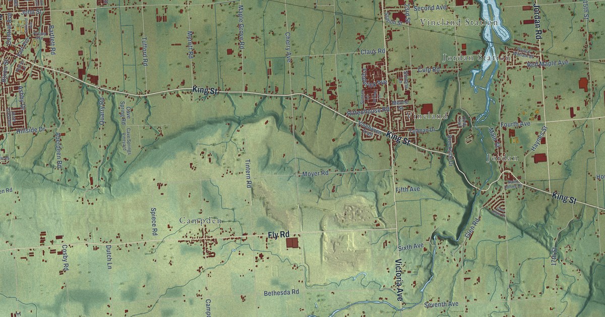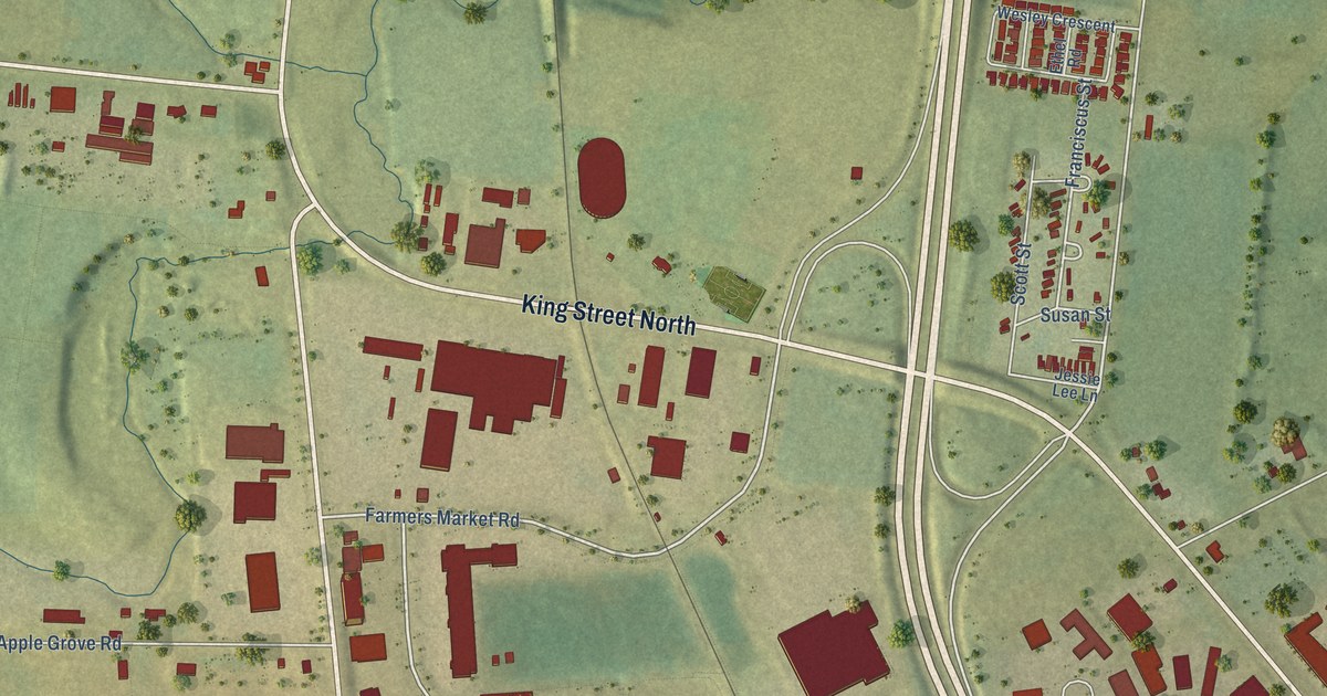
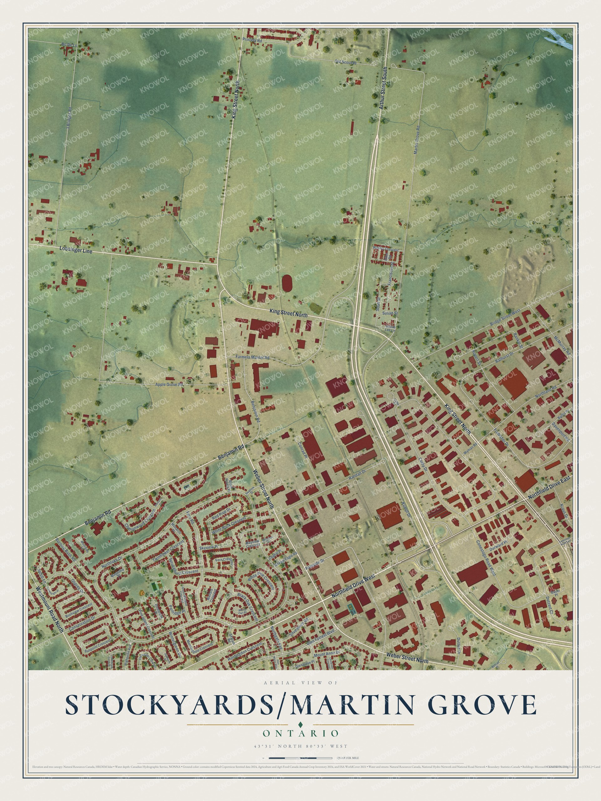
This beautifully detailed map of Stockyards-Martin Grove, Ontario was created in 2026 using aerial imagery combined with modern topographical, census, street and landmark data. It’s a one-of-a-kind view of Stockyards-Martin Grove that combines accurate data with a vintage aesthetic. The map shows every building in its true location, many of the roads carry their names, and the shaded topographic relief shows the shape of the land.
Explore an aerial view of Stockyards-Martin Grove, Ontario
On the map you’ll find Pinebrook Park and Lobsinger Line, along with Weber Street North, King Street North, Benjamin Road, Westmount Road North, Arthur Street South, Northlake Drive, Martin Grove Road, Parkside Drive, Farmers Market Road, Northgate Avenue, and more. Stockyards-Martin Grove sits about 3 km north of Waterloo, 5 km east of Heidelberg Woolwich and 6 km southwest of Conestogo. If you look closely you can even find your house accurately drawn in its correct location. Zoom in on the preview to look for yours.
Take a closer look at the Stockyards-Martin Grove map
Names on this map
These names are printed on this map.
Places: Pinebrook Park.
Streets and roads: Northfield Drive West, Weber Street North, King Street North, Northfield Drive East, Benjamin Road, Westmount Road North, Lobsinger Line, Arthur Street South, Northlake Drive, Martin Grove Road, Parkside Drive, Farmers Market Road.
More street names, A to Z
3 Bridges Road, Apple Grove Road, Baffin Place, Bathurst Drive, Bauer Place, Belcan Place, Black Forest Place, Black Oak Crescent, Bo De Lane, Bridge Street West, Burning Bush Road, Bushview Crescent, Cheltonwood Crescent, Clearwater Crescent, Coghill Place, Colby Court, Colby Drive, Conestogo Road East, Conestogo Road West, Conrad Place, Conservation Drive, Cornerbrook Crescent, Davenport Road, Deerberry Place, Dotzert Court, Durward Place, Dutton Drive, Elmhurst Court, Ethel Road, Fern Crescent, Fern Road, Franciscus Street, Frobisher Drive, Glen Forrest Boulevard, Glengrove Place, Glen Manor Boulevard, Golden Eagle Road, Green Meadow Crescent, Highpoint Avenue, Huntingdon Crescent, Jacob Lane, Jessie Lee Lane, Kraus Drive, Kumpf Drive, Lynnbrook Crescent, Magnolia Place, Mallard Crescent, Mayview Court, Mayview Crescent, McMurray Road, Monarch Place, Morningdale Crescent, Mount Anne Drive, Northgate Avenue, Northland Road, Old Scout Place, Osprey Drive, Partridge Place, Pinebrook Place, Pine Island Crescent, Printery Road, Randall Drive, Rankin Street, Red Pine Drive, Rupert Street, Scott Street, Silverbirch Road, Skylark Road, Skyview Place, Sprucehurst Crescent, Stoneheight Place, Sunpoint Crescent, Susan Street, Swallow Street, Twinflower Crescent, Waterbury Lane, Wesley Crescent, White Oak Place, White Pine Crescent, White Rock Crescent, Wintergreen Drive, Wyman Road.
See it on a wall
The Stockyards-Martin Grove map as an 18 x 24 inch print in a black frame.

This beautifully detailed map of Stockyards-Martin Grove makes an attractive addition to your office, library, or den, and it can even be used to teach children the geography and history of the area. It also makes a great gift for someone who left Stockyards-Martin Grove and still calls it home. When you’re done exploring, click here to get your copy of the Stockyards-Martin Grove map.