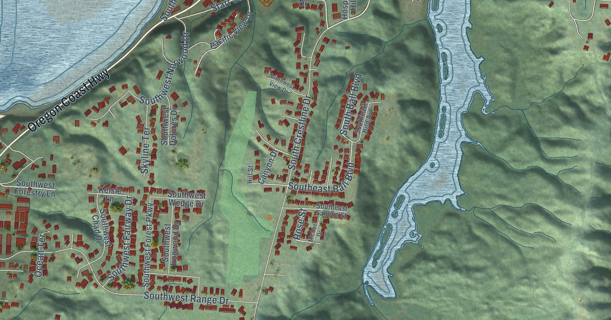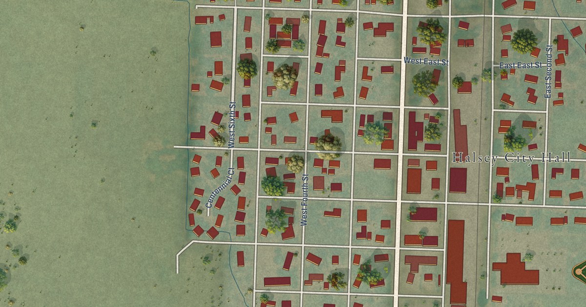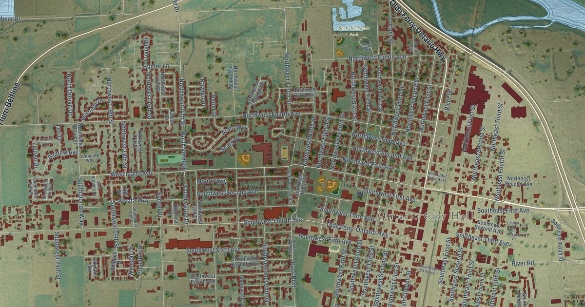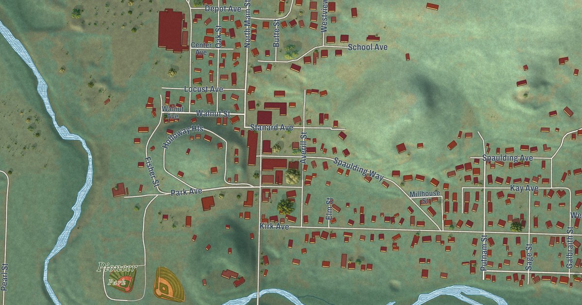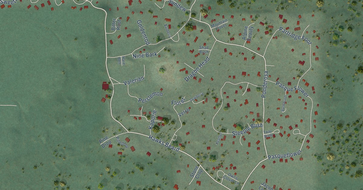
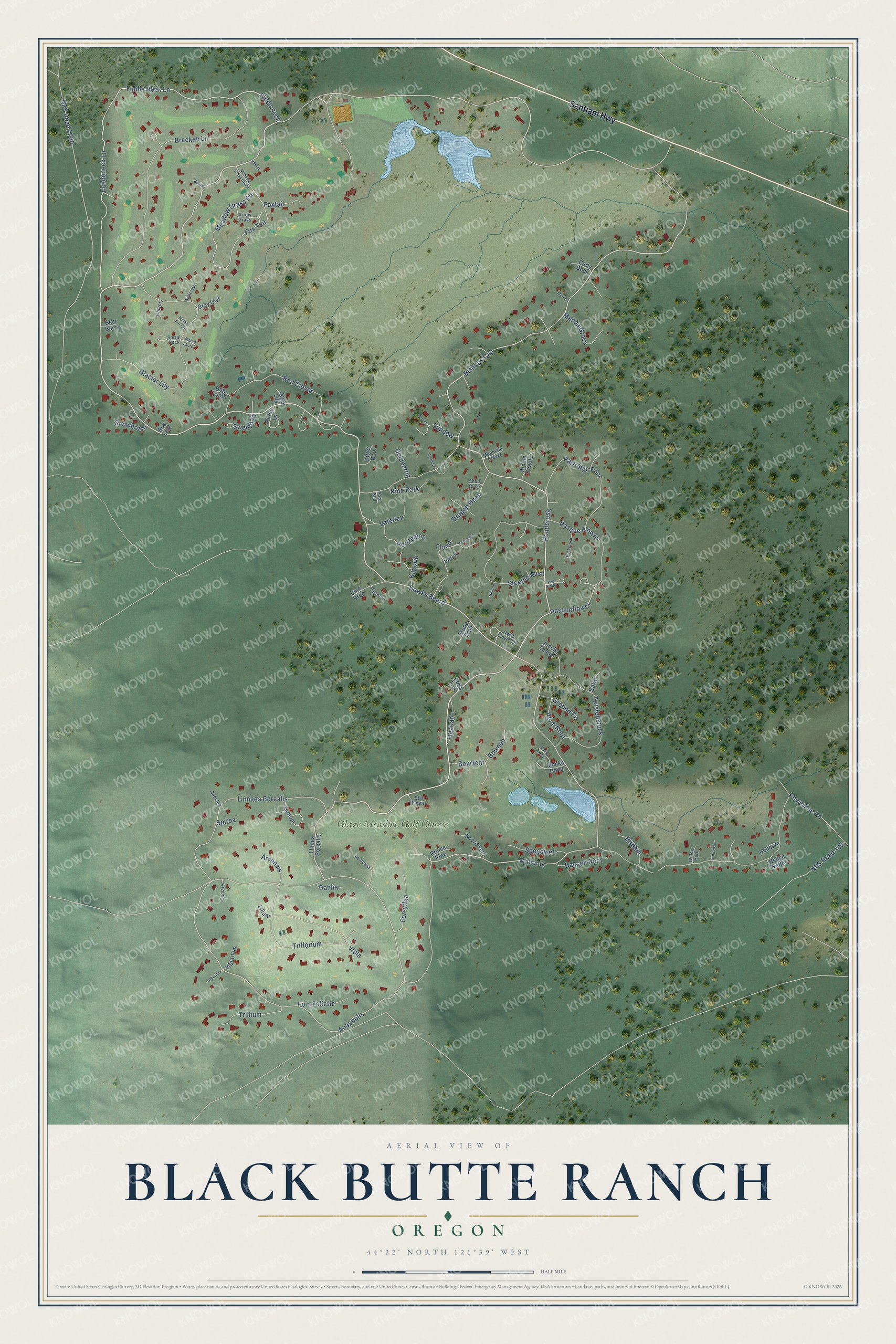
This beautifully detailed map of Black Butte Ranch, Oregon was created in 2026 using aerial imagery combined with modern topographical, census, street and landmark data. It's a modern aerial view of Black Butte Ranch in Deschutes County, Oregon, that combines modern data with a vintage aesthetic. The roads feature printed names, and if you look closely you can find your exact house accurately shown in its correct location.
Explore an aerial view of Black Butte Ranch, Oregon
On this map you'll find Glaze Meadow Golf Course, Santiam Highway, Hawks Beard, Fiddleneck, Anapholis, Ponderosa, Fiddle Neck Lane, Fiddleneck Lane, Linnaea Borealis, Floret, Pasqueflower, Bowdeni, and more. Each red shape is a building, so zoom in on the preview and look for yours.
Black Butte Ranch is a community in Deschutes County. The Census Bureau counted 260 people here in 2020. Black Butte Ranch sits about 6 miles south of Camp Sherman, 8 miles northwest of Sisters and 20 miles west of Eagle Crest. The map prints the town name in its title panel, with the coordinates below it.
Take a closer look at the Black Butte Ranch map
Names on this map
These names are printed on this map.
Places: Glaze Meadow Golf Course.
Streets and roads: Santiam Highway, Hawks Beard, Fiddleneck, Anapholis, Ponderosa, Fiddle Neck Lane, Fiddleneck Lane, Linnaea Borealis, Floret, Pasqueflower, Bowdeni, NFS Road 2060.
More street names, A to Z
Alpine Beauty, Alum Root, Arnica, Arrow Grass, Arvensis, Atherium, Balsam Root, Banberry, Bear Berry, Betony, Birdbill, Bishops Cap, Bitter Root, Bowden, Box Leaf, Bracken Lane, Buckbrush, Camaret, Candy Flower, Chicory, Colts Foot, Curly Dock, Dahlia, Dewberry, Dog Tooth, Dragon Head, Fleabane, Foin Follette, Forsythia, Fox Tail, Foxtail, Galium, Glacier Lily, Goldenrod, Gray Owl, Ground Fir, Groundsel, Hare Bell, Heather, Hedge Nettle, Hellbore, Jacobs Ladder, Kaporie, Lilium, Linnea Borealis, Lonicera, Mahonia, Manna Grass, Meadow Grass Circle, Meadow Grass Creek, Mentha, Monks Hood, Mountain Clover, Mount Laurel, Mule's Ear Circle, NFS Road 180, Nine Bark, Onoclea, Owl's Clover Lane, Partridge Foot, Pasque Flower, Perslemon, Pine Drop, Pinedrop, Powerline Road, Prince Pine, Purse Lane, Red Clover, Salal, Sego Lily, Shad Bush, Snowbrush, Sorral Dock, Speedwell, Spikerush, Spirea, Star Flower, Steeple Bush, Stone Crop, Sundew, Sweetflag, Sword Fern, Triflorium, Trillium, Tway Blade, Twistedstock, Valerian, Vetch, Viburnum, Viola, Willow Herb, Yampa.
See it on a wall
The Black Butte Ranch map as a framed print. Swipe for more.


Created by KNOWOL in 2026. The buildings are small red shapes, the roads carry their printed names, and shaded relief shows the shape of the land. The title panel reads "AERIAL VIEW OF BLACK BUTTE RANCH, OREGON" with 44°22' NORTH 121°39' WEST.
Hang it in the hallway, the office or the cabin, or give it to someone who left Black Butte Ranch and still calls it home. Open the preview and look for a street you know. See sizes and frames for the Black Butte Ranch map.