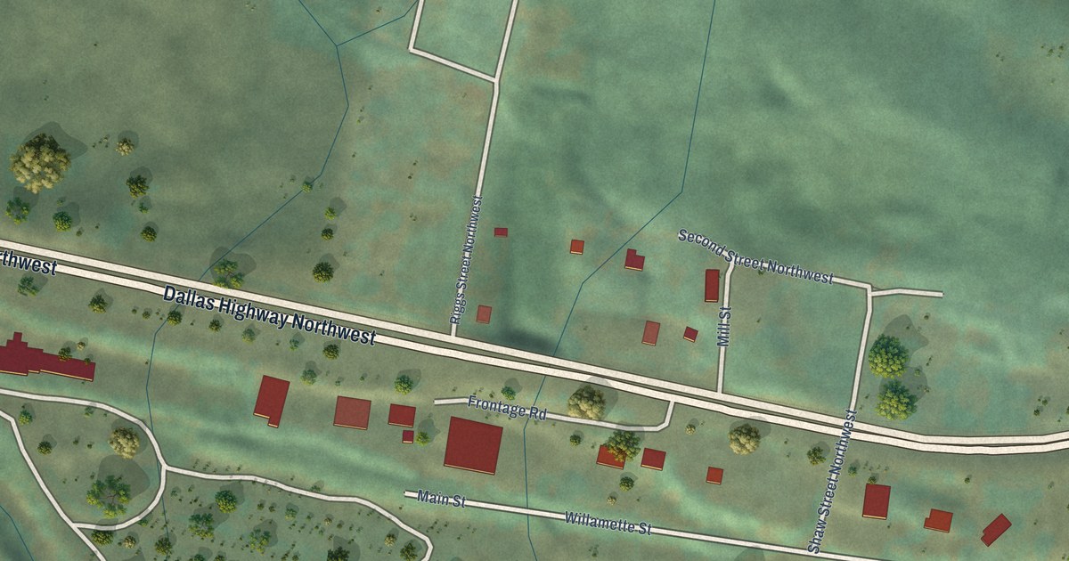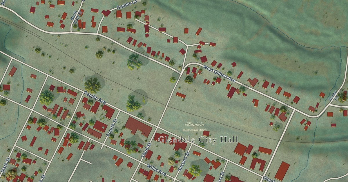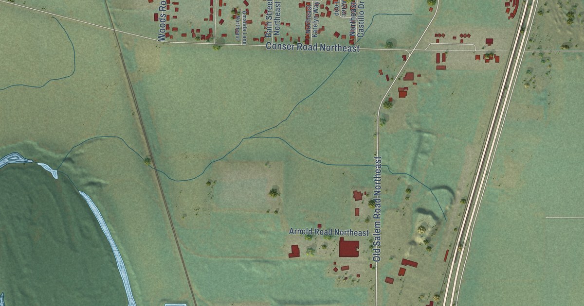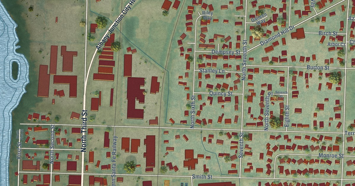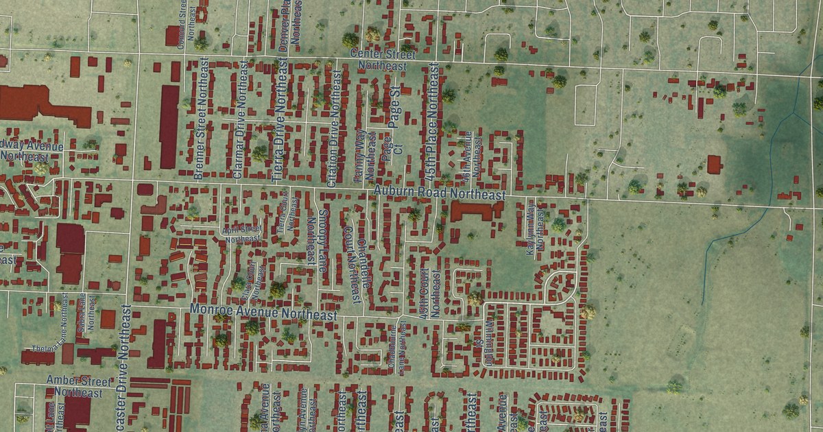
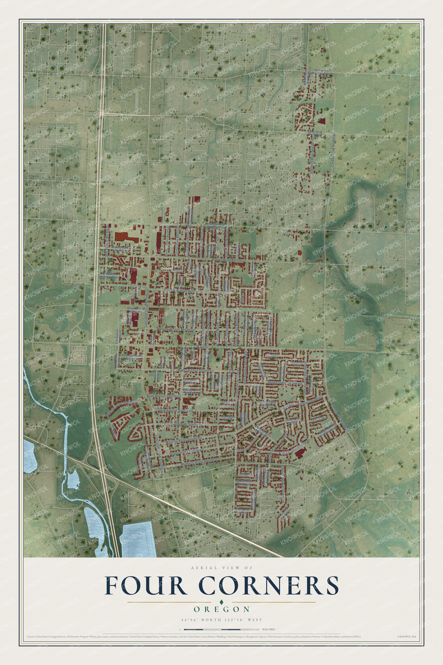
This beautifully detailed map of Four Corners, Oregon was created in 2026 using aerial imagery combined with modern topographical, census, street and landmark data. It's a modern aerial view of Four Corners in Marion County, Oregon, that combines modern data with a vintage aesthetic. The roads feature printed names, and if you look closely you can find your exact house accurately shown in its correct location.
Explore an aerial view of Four Corners, Oregon
On this map you'll find Connecticut Avenue Southeast, Mahrt Avenue Southeast, State Street, Beck Avenue Southeast, Lancaster Drive Northeast, Buffalo Drive Southeast, Auburn Road Northeast, Cordon Road Southeast, 46th Avenue Southeast, Cordon Road Northeast, Monroe Avenue Northeast, Macleay Road Southeast, and more. Each red shape is a building, so zoom in on the preview and look for yours.
Four Corners is a community in Marion County. The Census Bureau counted 16,740 people here in 2020. Four Corners sits about 2 miles east of Salem, 3 miles south of Hayesville and 6 miles north of Turner. The map prints the town name in its title panel, with the coordinates below it.
Take a closer look at the Four Corners map
Names on this map
These names are printed on this map.
Streets and roads: Connecticut Avenue Southeast, Mahrt Avenue Southeast, State Street, Beck Avenue Southeast, Lancaster Drive Northeast, Buffalo Drive Southeast, Auburn Road Northeast, Cordon Road Southeast, 46th Avenue Southeast, Cordon Road Northeast, Monroe Avenue Northeast, Macleay Road Southeast.
More street names, A to Z
36th Avenue Northeast, 37th Avenue Northeast, 37th Avenue Southeast, 40th Place Northeast, 40th Place Southeast, 44th Avenue Northeast, 44th Avenue Southeast, 44th Place Northeast, 45th Avenue Northeast, 45th Avenue Southeast, 45th Court Northeast, 45th Place Northeast, 45th Place Southeast, 46th Avenue Northeast, 46th Place Southeast, 47th Avenue Northeast, 47th Avenue Southeast, 49th Avenue Southeast, Adobe Street Southeast, Agate Drive Southeast, Akin Court Southeast, Amber Street Northeast, April Street Northeast, Arabian Avenue Southeast, Arrowood Court Southeast, Babcock Way Southeast, Bayonne Drive Southeast, Boulder Drive Southeast, Brenner Street Northeast, Briar Court Southeast, Brink Avenue Southeast, Broadmore Avenue Northeast, Butte Court Southeast, Causey Lane Southeast, Center Street Northeast, Chadbourne Lane Northeast, Chandelle Court Northeast, Citation Drive Northeast, Clara Court Northeast, Clarmar Drive Northeast, Clearwater Avenue Northeast, Colt Lane Northeast, Concord Street Northeast, Cougar Court Southeast, Denver Place Northeast, Draper Street Northeast, Durbin Avenue Southeast, Eastland Place Southeast, Eldin Avenue Northeast, Elkhorn Drive Southeast, Elma Avenue Northeast, Elma Avenue Southeast, Evelyn Avenue Northeast, Fanny Way Northeast, Fontana Court Southeast, Glenwood Drive Southeast, Gordon Street Southeast, Grouse Drive Southeast, Hager Street Southeast, Helton Way South East, Hoffman Road Northeast, Hudson Avenue Northeast, Juliana Loop Southeast, Juneva Place Southeast, Kaylynn Way Northeast, Kenwood Avenue Northeast, La Branch Street Southeast, Lancaster Drive Southeast, Meadowlawn Drive Southeast, Meadowlawn Loop Southeast, Midway Avenue Northeast, Munkers Court Southeast, Munkers Street Southeast, Page Court, Page Street, Pennsylvania Avenue Southeast, Raffon Court Southeast, Sabra Lane Northeast, Seattle Slew Drive Southeast, Shawnee Drive Southeast, Shenandoah Drive Southeast, Snoopy Lane Northeast, Sunnyview Road Northeast, Swegle Road Northeast, Thelma Lane Northeast, Thorndale Road Northeast, Tierra Court Northeast, Tierra Drive Northeast, Village East Way Southeast, Wagon Rim Court Southeast, Wagon Wheel Drive Southeast, Walker Road Northeast, White Cloud Drive Southeast, Wilmington Street, Witten Street Southeast.
See it on a wall
The Four Corners map as a framed print. Swipe for more.


Created by KNOWOL in 2026. The buildings are small red shapes, the roads carry their printed names, and shaded relief shows the shape of the land. The title panel reads "AERIAL VIEW OF FOUR CORNERS, OREGON" with 44°56' NORTH 122°58' WEST.
Hang it in the hallway, the office or the cabin, or give it to someone who left Four Corners and still calls it home. Open the preview and look for a street you know. See sizes and frames for the Four Corners map.