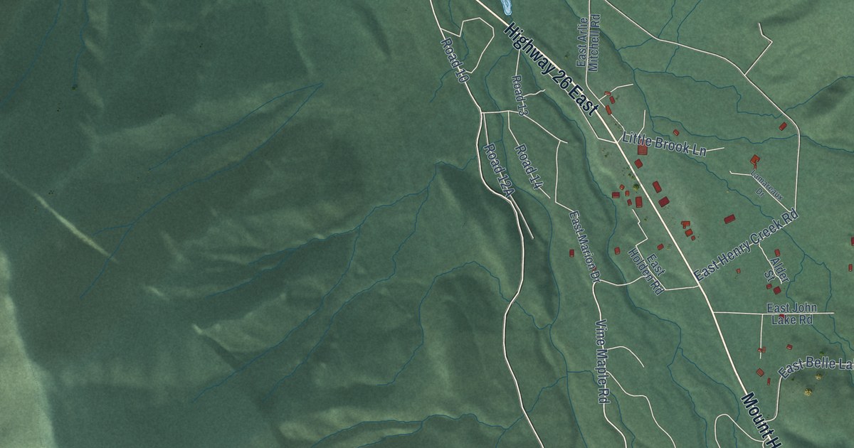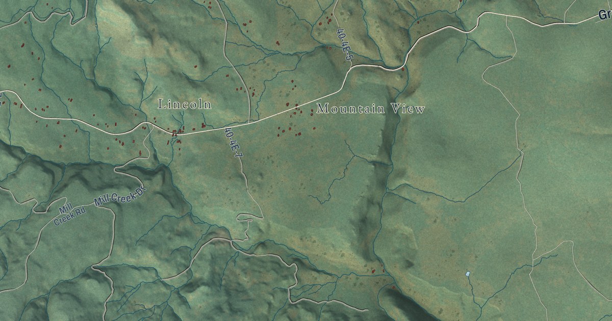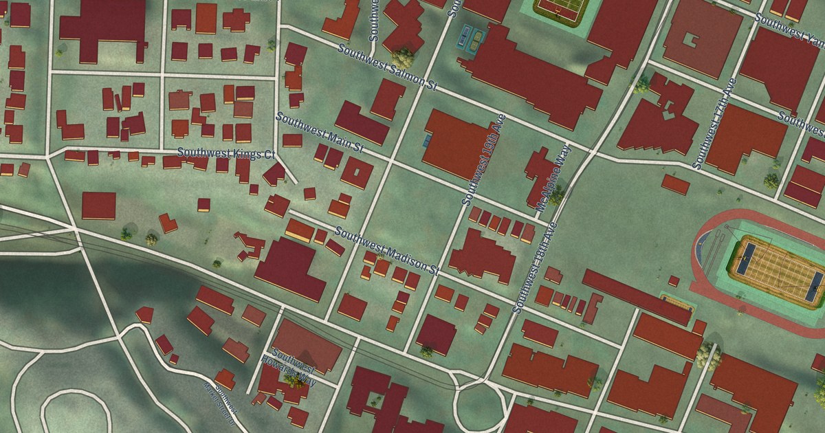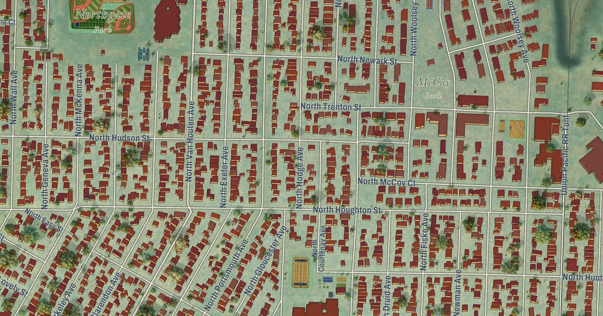
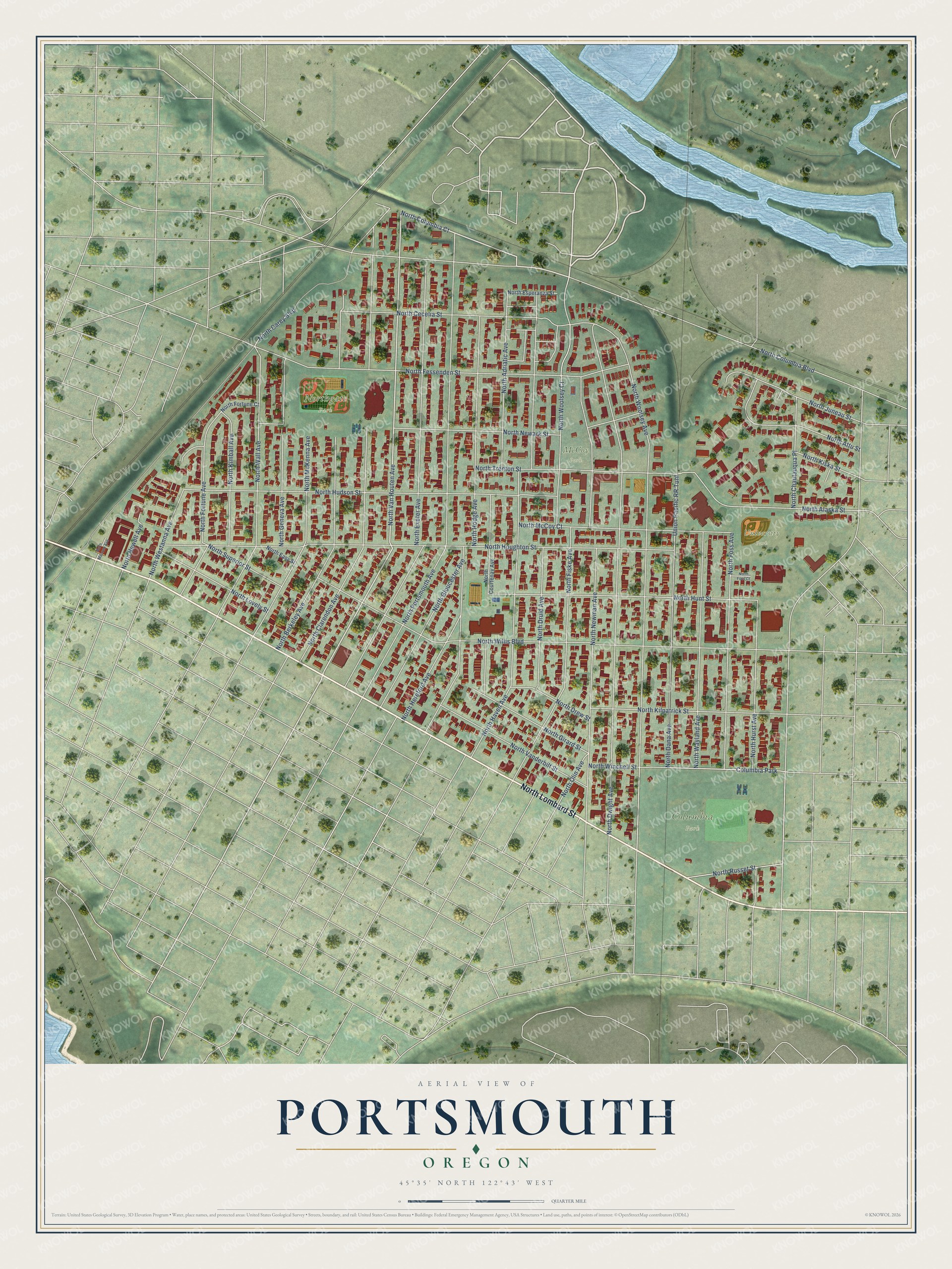
This beautifully detailed map of Portsmouth, Oregon was created in 2026 using aerial imagery combined with modern topographical, census, street and landmark data. It’s a one-of-a-kind view of Portsmouth that combines accurate data with a vintage aesthetic. The map shows every building in its true location, many of the roads carry their names, and the shaded topographic relief shows the shape of the land.
Explore an aerial view of Portsmouth, Oregon
On the map you’ll find Columbia Park, Northgate Park, University Park, and McCoy Park, along with North Lombard Street, North Columbia Court, North Van Houten Avenue, North Carey Boulevard, North Woolsey Court, North Olin Avenue, North Alaska Street, North Hunt Street, and more. If you look closely you can even find your house accurately drawn in its correct location. Zoom in on the preview to look for yours.
Did You Know?
From Internet Archive: "In the maternal line the first American progenitor located in Odiorne 's Point, near Portsmouth, in 1623, the year in which the first settlement was made in New Hampshire."
Portsmouth is a place in Multnomah County.
Take a closer look at the Portsmouth map
Names on this map
These names are printed on this map.
Places: Columbia Park, Northgate Park, University Park and McCoy Park.
Streets and roads: North Lombard Street, North Columbia Court, North Van Houten Avenue, North Carey Boulevard, North Woolsey Court, North Olin Avenue, North Alaska Street, North Hunt Street, North Woolsey Avenue, North Houghton Street, North Dwight Avenue, North Columbia Boulevard.
More street names, A to Z
North Adriatic Avenue, North Attu Street, North Berkeley Avenue, North Cecelia Street, North Chautauqua Place, North Clarendon Avenue, North Courtenay Avenue, North Dana Avenue, North Drew Street, North Druid Avenue, North Easy Street, North Esperanza Street, North Exeter Avenue, North Fessenden Street, North Fiske Avenue, North Fortune Avenue, North Fortune Court, North Foss Avenue, North Foss Court, North Geneva Avenue, North Girard Street, North Gloucester Avenue, North Haven Avenue, North Hereford Avenue, North Hodge Avenue, North Hudson Street, North Hurst Avenue, North Juneau Street, North Kilpatrick Street, North Kimball Avenue, North Kiska Street, North Lovely Street, North Macrum Avenue, North McCoy Court, North McKenna Avenue, North Newark Street, North Newell Avenue, North Newman Avenue, North Portsmouth Avenue, North Russet Street, North Superior Street, North Trenton Street, North Vanderbilt Street, North Wall Avenue, North Wayland Avenue, North Westanna Avenue, North Willis Boulevard, North Winchell Street, Union Pacific RR Tunl.
See it on a wall
The Portsmouth map as a framed print. Swipe for more.


This beautifully detailed map of Portsmouth makes an attractive addition to your office, library, or den, and it can even be used to teach children the geography and history of the area. It also makes a great gift for anyone with Portsmouth roots. When you’re done exploring, click here to get your copy of the Portsmouth map.