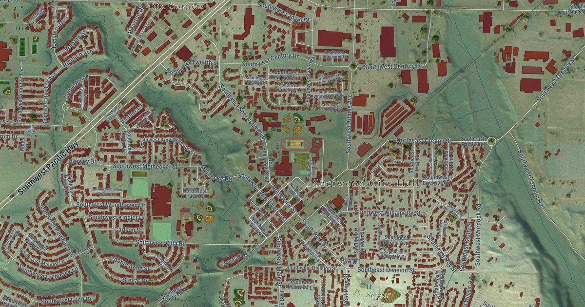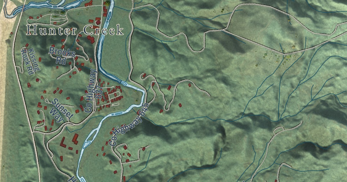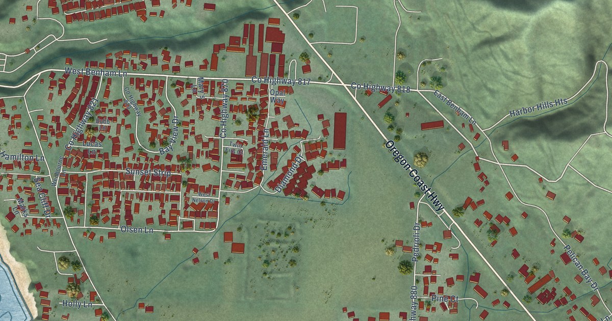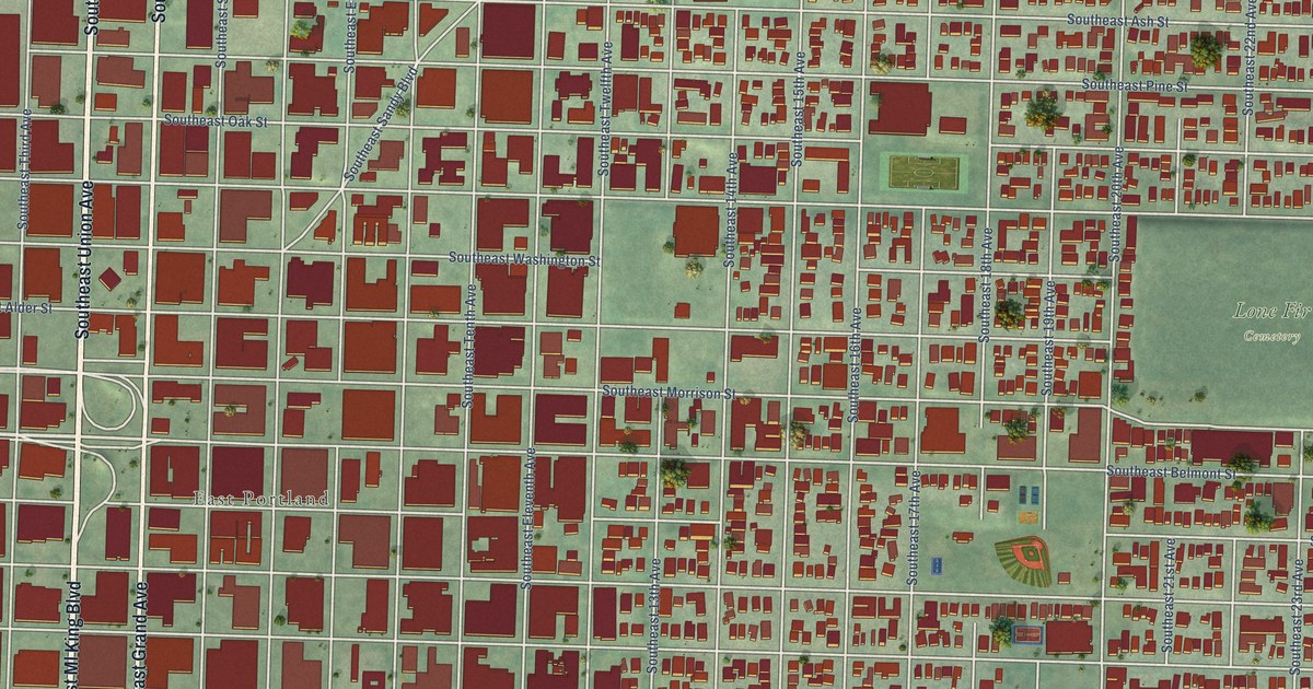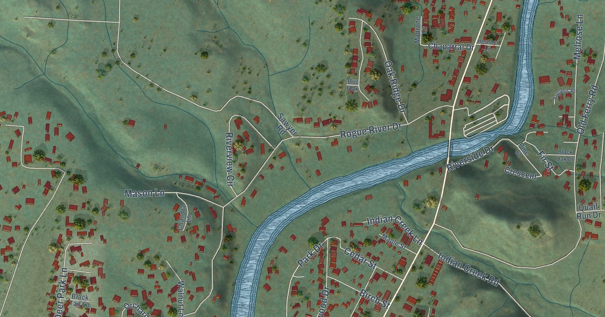
This beautifully detailed map of Shady Cove, Oregon was created in 2026 using aerial imagery combined with modern topographical, census, street and landmark data. It’s a one-of-a-kind view of Shady Cove that combines accurate data with a vintage aesthetic. The map shows every building in its true location, many of the roads carry their names, and the shaded topographic relief shows the shape of the land.
Explore an aerial view of Shady Cove, Oregon
On the map you’ll find Crater Lake Highway, Park Drive, Rogue River Drive, Old Ferry Road, Rogue Air Drive, Rene Drive, Hudspeth Lane, Oak Ridge Drive, Penny Lane, Sarma Drive, Bond Road, Cleveland Street, and more. If you look closely you can even find your house accurately drawn in its correct location. Zoom in on the preview to look for yours.
Did you know this piece of Shady Cove, Oregon history?
From Oregonencyclopedia.org: "The last ferry on the Rogue River, at Shady Cove, served travelers on the Crater Lake Highway until 1921."
Shady Cove is a city in Jackson County.
Take a closer look at the Shady Cove map
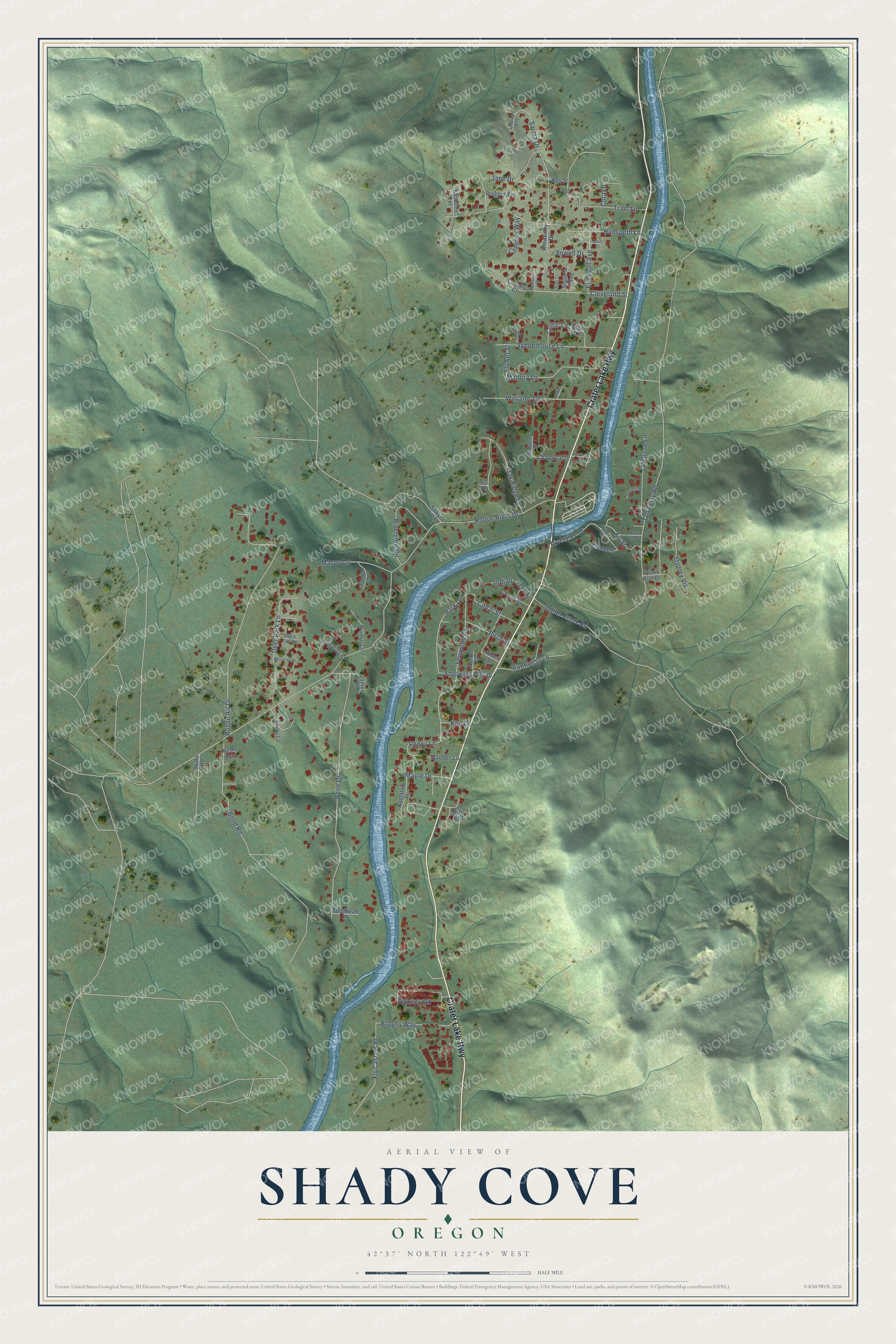
Street names on the Shady Cove, Oregon map
These names are printed on the map of Shady Cove, Oregon.
Streets and roads: Crater Lake Highway, Park Drive, Rogue River Drive, Old Ferry Road, Rogue Air Drive, Rene Drive, Hudspeth Lane, Oak Ridge Drive, Penny Lane, Sarma Drive, Bond Road, Cleveland Street.
More street names, A to Z
Alder Street, Alicki Lane, Alpine Street, Anglers Place, Betts Way, Birch Street, Black Oak Drive, Black Tail Lane, Brophy Way, Bur Oak, Castaline Place, Cedar Street, Celtic Lane, Chandra Lane, Chaparral Drive, Chevney Way, Church Lane, Cindy Way, Cora Drive, Country Court, Crescent, Deer Park Lane, Dion Court, Drake Road, Edgewood Park Drive, Erickson Avenue, Fawn Circle, Firehouse Lane, Fir Street, Flower Street, Fly Casters Place, Hall Street, Heather Lane, Indian Creek Lane, Indian Creek Road, James Place, Jane Drive, Kathleen Terrace, Kee Lane, Kelley Court, Kinworthy Drive, Leeanna Way, Madden Lane, Madrone Lane, Mallory Lane, Maple Drive, Maple Street, Mason Lane, Melrose Lane, Nork Lane, Orchard Lane, Osprey Vis, Pine Street, Pinetop Terrace, Quail Run Drive, Ramsey Road, Riverside Drive, Riverview Circle, Sawyer Road, Schoolhouse Lane, Slaon's Way, Sowell Drive, Steelhead Place, Terrace Place, Train Lane, Walnut Lane, Whitetail Lane, Williams Lane, Yewwood Drive.
See the Shady Cove, Oregon map on a wall
The Shady Cove map as an 18 x 24 inch print in a black frame.

This beautifully detailed map of Shady Cove makes an attractive addition to your office, library, or den, and it can even be used to teach children the geography and history of the area. It also makes a great gift for someone who left Shady Cove and still calls it home. When you’re done exploring, click here to get your copy of the Shady Cove map.