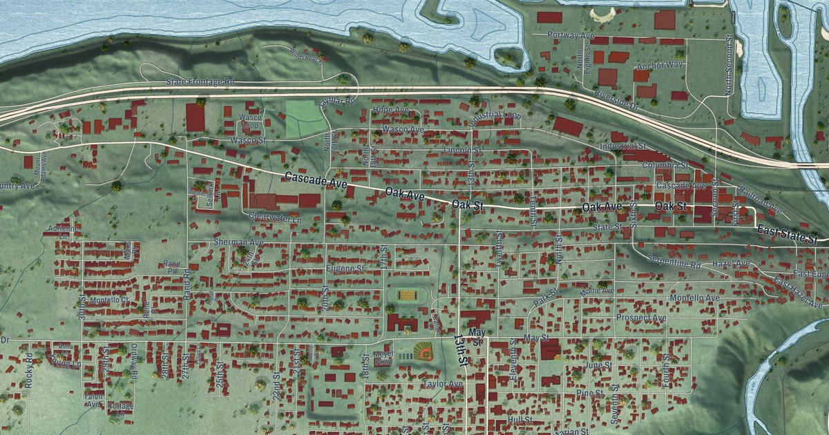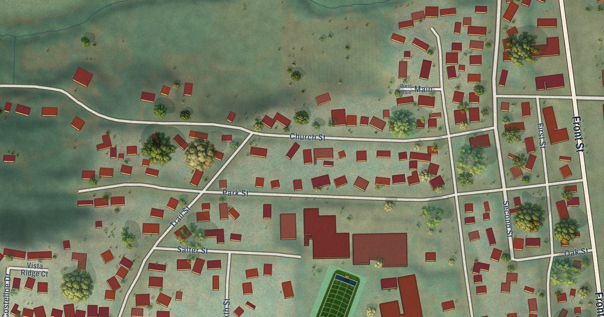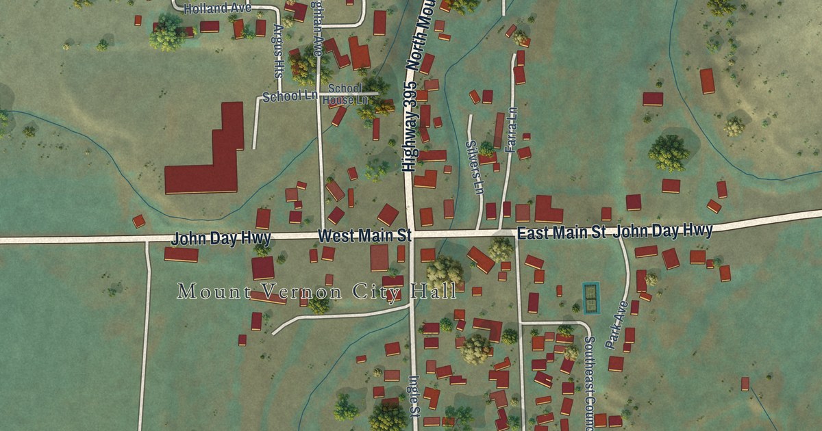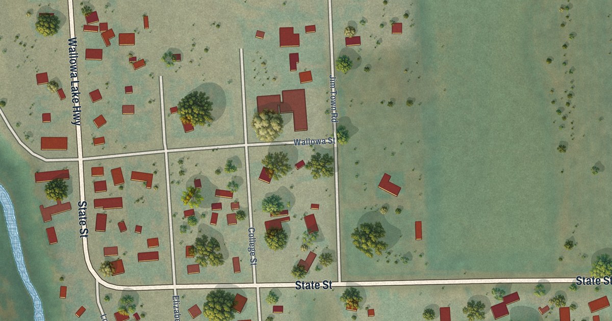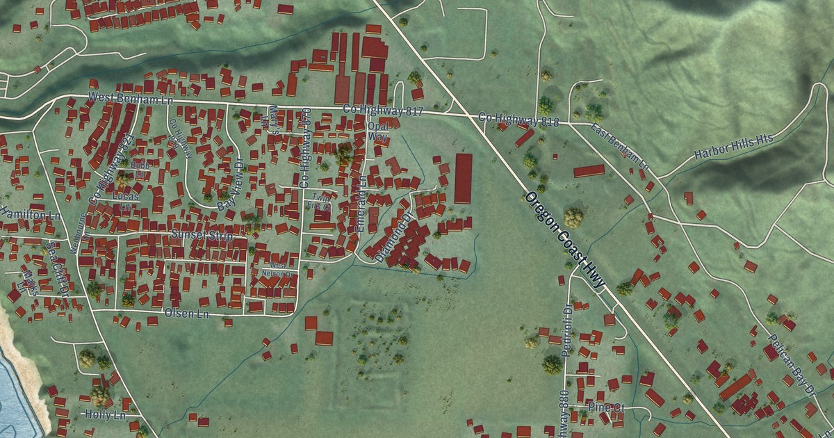
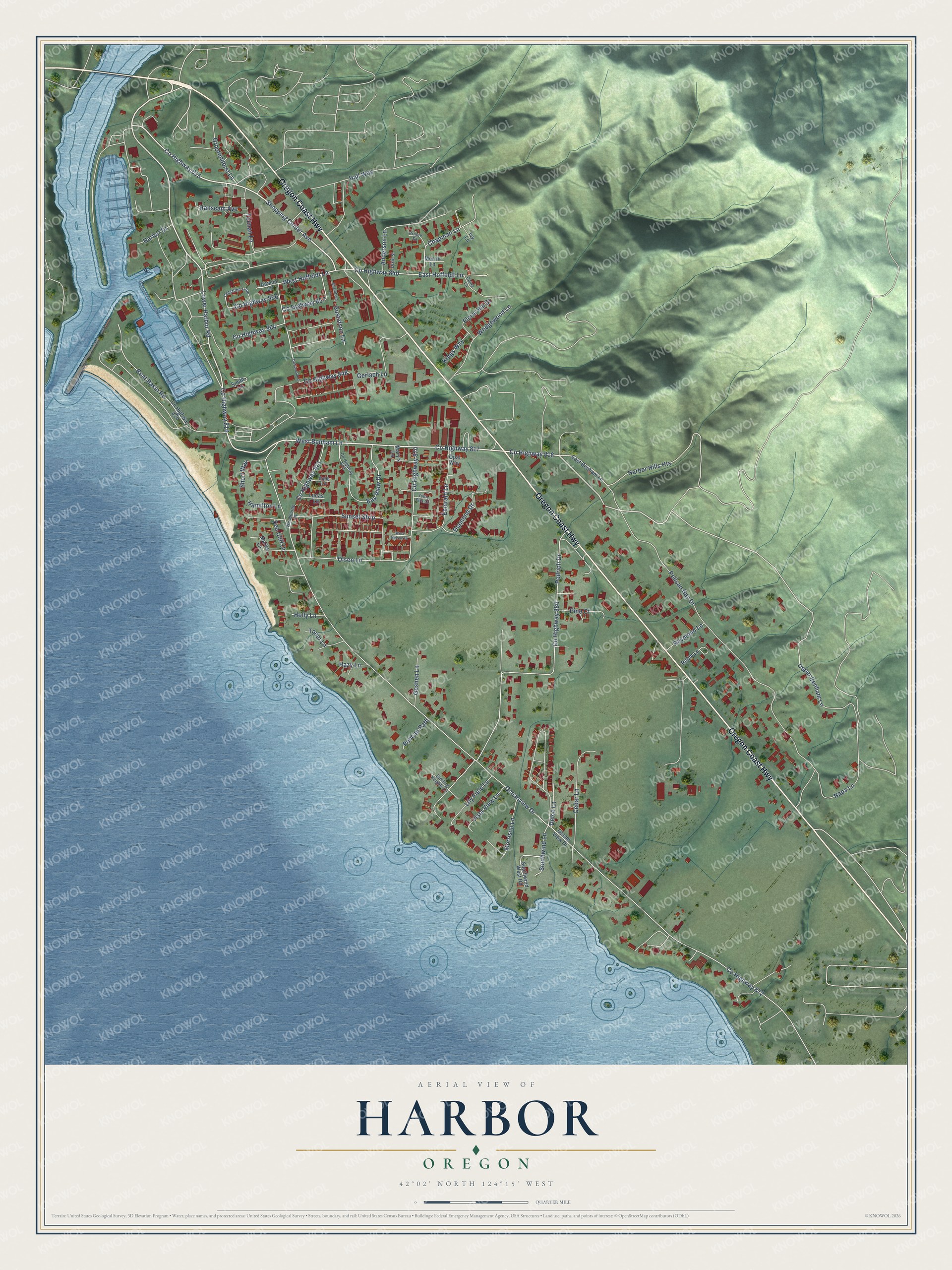
This beautifully detailed map of Harbor, Oregon was created in 2026 using aerial imagery combined with modern topographical, census, street and landmark data. It's a modern aerial view of Harbor in Curry County, Oregon, that combines modern data with a vintage aesthetic. The roads feature printed names, and if you look closely you can find your exact house accurately shown in its correct location.
Explore an aerial view of Harbor, Oregon
On this map you'll find Oregon Coast Highway, Lower Harbor Road, Co Highway 816, West Benham Lane, Co Highway 818, Shopping Center Avenue, Co Highway 815, Co Highway 848, Co Highway 817, Sunset Strip, Harbor Hills Heights, Southwind Lane, and more. Each red shape is a building, so zoom in on the preview and look for yours.
Harbor is a community in Curry County. The Census Bureau counted 2,551 people here in 2020. The map prints the town name in its title panel, with the coordinates below it.
Take a closer look at the Harbor map
Names on this map
These names are printed on this map.
Streets and roads: Oregon Coast Highway, Lower Harbor Road, County Highway 816, West Benham Lane, County Highway 818, Shopping Center Avenue, County Highway 815, County Highway 848, County Highway 817, Sunset Strip, Harbor Hills Heights, Southwind Lane.
More street names, A to Z
Acacia Lane, Anderson Lane, Bay View Drive, Boat Basin Road, Bubb Lane, Cedar Lane, Chapman Lane, County Highway 819, County Highway 821, County Highway 824, County Highway 840, County Highway 856, County Highway 857, County Highway 864, County Highway 870, County Highway 872, County Highway 880, Crestline Loop, Daina Lane, Delce Lane, Diamond Drive, Dixie Street, Driftwood Lane, East Benham Lane, East Hoffeldt Lane, Emerald Lane, Floral Hill Drive, Gerlach Lane, Goshen Lane, Grootendorst Lane, Gustafson Lane, Gustofson Lane, Hall Way, Hamilton Lane, Hanscam Avenue, Harbor Drive, Hazy Lane, Holly Lane, Ivy Lane, Kings Way, Lily Field Lane, Lucas Lane, Marks Lane, Mary's Lane, Merrill Lane, Morrison Lane, Napa Lane, Oceanview Drive, Ocean View Drive, Olsen Lane, Opal Way, Pedrioli Drive, Pelican Bay Drive, Pelican Path, Pine Court, Prince Street, Raymond Lane, Robin Lane, Sea Cliff Drive, Short Way, Smith Lane, Southwind West Road, Sterling Heights Lane, Tolman Lane, Toner Lane, Twin Firs Court, Upper Benham Lane, Vista View Lane, Wedgewood Lane, Wenbourne Lane, West Hoffeldt Lane, West Nelson Drive.
See it on a wall
The Harbor map as a framed print. Swipe for more.


Created by KNOWOL in 2026. The buildings are small red shapes, the roads carry their printed names, and shaded relief shows the shape of the land. The title panel reads "AERIAL VIEW OF HARBOR, OREGON" with 42°02' NORTH 124°15' WEST.
Hang it in the hallway, the office or the cabin, or give it to someone who left Harbor and still calls it home. Open the preview and look for a street you know. See sizes and frames for the Harbor map.