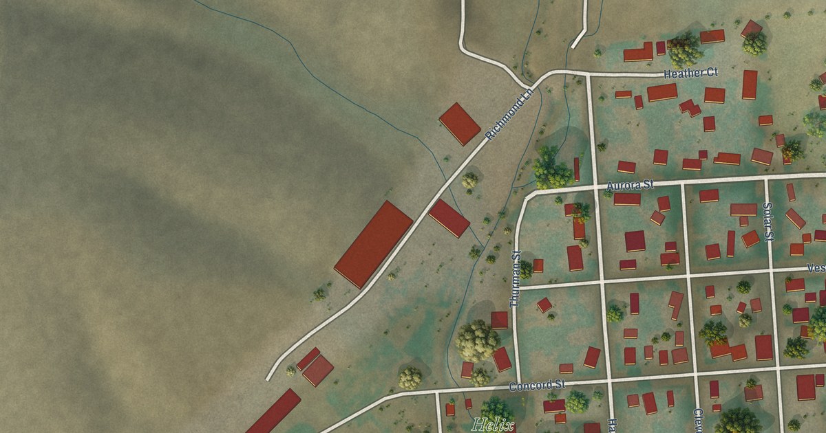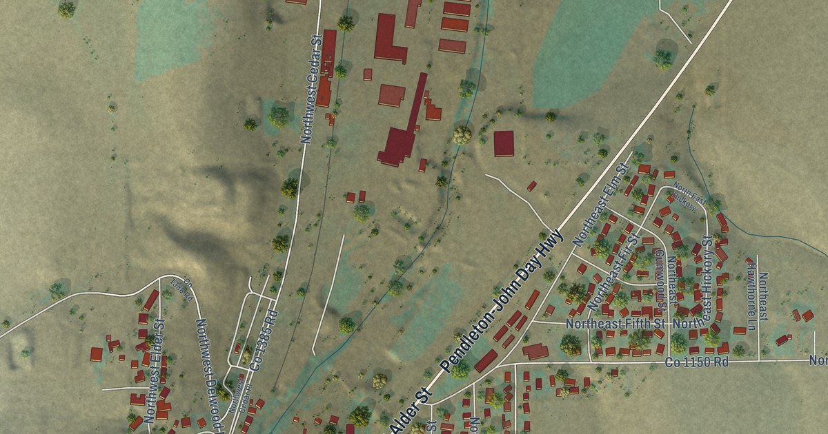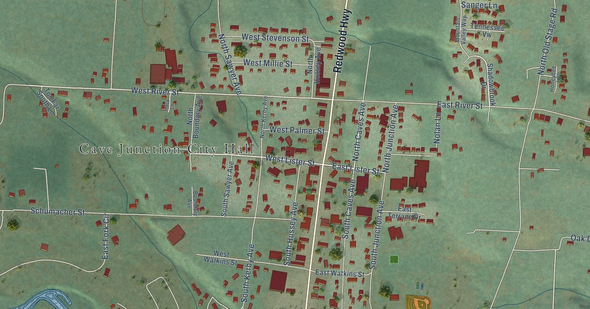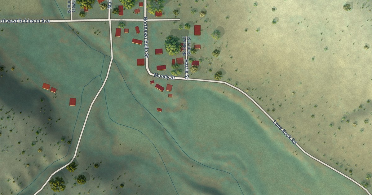
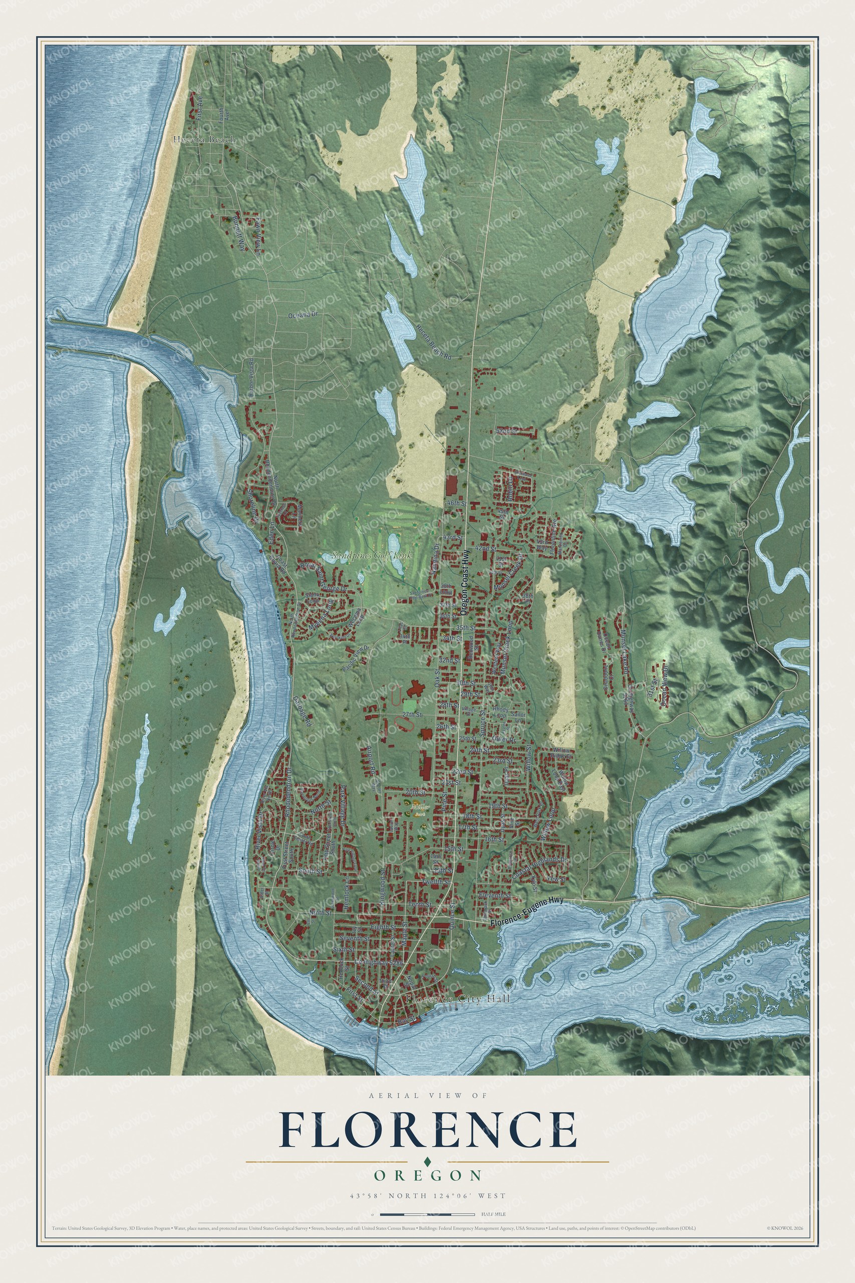
This beautifully detailed map of Florence, Oregon was created in 2026 using aerial imagery combined with modern topographical, census, street and landmark data. It's a modern aerial view of Florence in Lane County, Oregon, that combines modern data with a vintage aesthetic. The roads feature printed names, and if you look closely you can find your exact house accurately shown in its correct location.
Explore an aerial view of Florence, Oregon
On this map you'll find Florence City Hall, Miller Park, Heceta Beach, Sandpines Golf Link, Oregon Coast Highway, Florence-Eugene Highway, Co Highway 5286, Maple Street, Second Street, Quince Street, Twelfth Street, South Street, and more. Each red shape is a building, so zoom in on the preview and look for yours.
Here is a piece of Florence history, in the words of the record. The National Park Service puts it this way: "The Kyle store was the center of operations. Until 1913 it housed the first Florence post office (Kyle and his sons were the successive post masters)."
Florence is a city in Lane County.
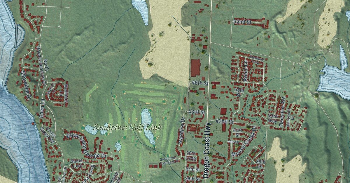
Take a closer look at the Florence map
Names on this map
These names are printed on this map.
Places: Florence City Hall, Miller Park, Heceta Beach and Sandpines Golf Link.
Streets and roads: Oregon Coast Highway, Florence-Eugene Highway, County Highway 5286, Maple Street, Second Street, Quince Street, Twelfth Street, South Street, 35th Street, Rhododendron Drive, 32nd Street, Spruce Street.
More street names, A to Z
13th Street, 14th Street, 15th Street, 16th Street, 17th Street, 18th Street, 19th Street, 20th Street, 21st Street, 22nd Street, 23rd Street, 24th Street, 25th Street, 26th Street, 27th Street, 28th Street, 29th Street, 30th Street, 30th Way, 31st Street, 34th Place, 34th Street, 36th Street, 37th Street, 38th Loop, 38th Place, 40th Street, 41st Street, 42nd Street, 43rd Street, 43rd Way, 45th Street, 46th Street, 52nd Street, Airport Road, Airport Way, Alder Street, Azalea Street, Bay Street, Bonnett Way, Circle Drive, Coastal Highlands Drive, Coast Guard Road, County Highway 5260, Eden Lane, Eighth Street, Eleventh Street, Elm Street, Fawn View Lane, Fifth Street North, Fifth Street South, First Avenue, First Street, First Street South, Florentine Avenue, Fourth Avenue, Fourth Street, Garbage Road, Greentrees North, Greenwood Street, Harbor Vista Road, Heceta Beach Road, Hemlock Lane, Hemlock Street, Ivy Street, Kingwood Street, Laurel Street, Laurel Way, Lilac Street, Manzanita Drive, Mariners Lane, Munsel Creek Drive, Munsel Creek Loop, Munsel Lake Road, Myeena Loop, Nandina Drive, Ninth Street, Nopal Street, North Rhodeodendron Drive, North Rhododendron Drive, North Street, Oak Street, Oceana Drive, Ocean Dunes Drive, Ocean View Drive, Onadoone Court, Outer Drive, Pacific View Drive, Park Village Drive, Park Village Loop, Pine Street, Primrose Lane, Redwood Street, Rhody Loop, River Vis North, River Vis South, River Vista Drive, Robin Lane, Royal Saint George Drive, Sailor Lane, Sandpines - East Bank Place, Seventh Street, Sherwood Loop, Shoreline Drive, Siano Loop, Sixth Street, Skookum Drive, South Center Road, Spyglass Lane, Tamarack Street, Tenth Street, Third Street, Upas Place, Upas Street, Village Street, Vine Street, Wecoma Loop, Western Way, West Park Drive, Willow Loop, Willow Loop East, Willow Ridge Court, Willow Street, Xylo Street, Yew Street.
Created by KNOWOL in 2026. The buildings are small red shapes, the roads carry their printed names, and shaded relief shows the shape of the land. The title panel reads "AERIAL VIEW OF FLORENCE, OREGON" with 43°58' NORTH 124°06' WEST.
It suits a den, a classroom or a front hall, and it makes a gift for anyone with Florence roots. Open the preview and find the block you know. See sizes and frames for the Florence map.