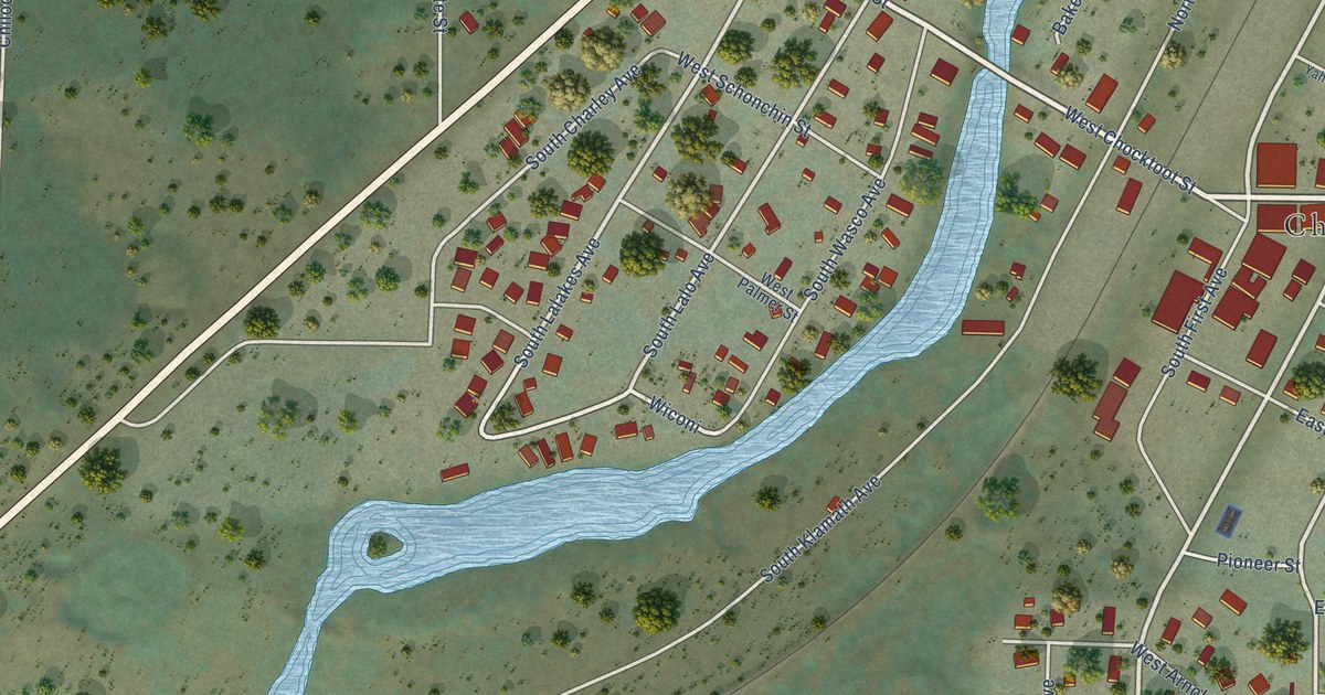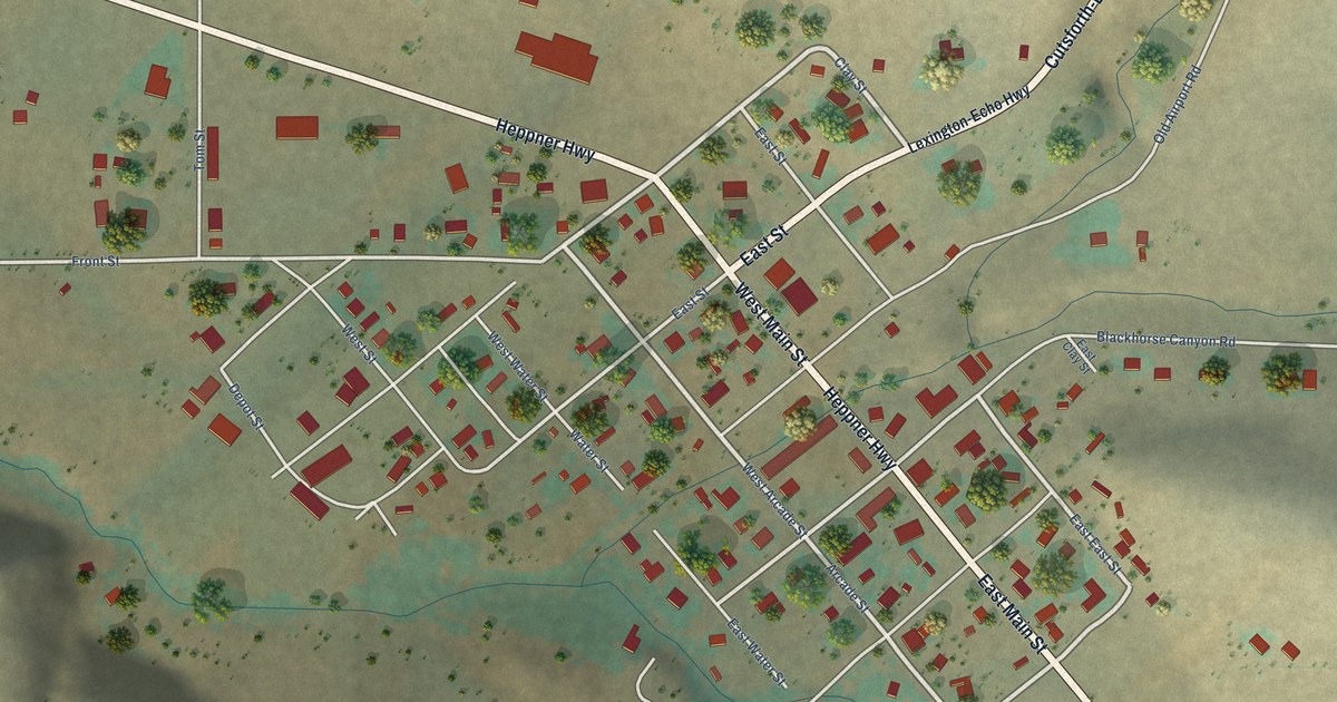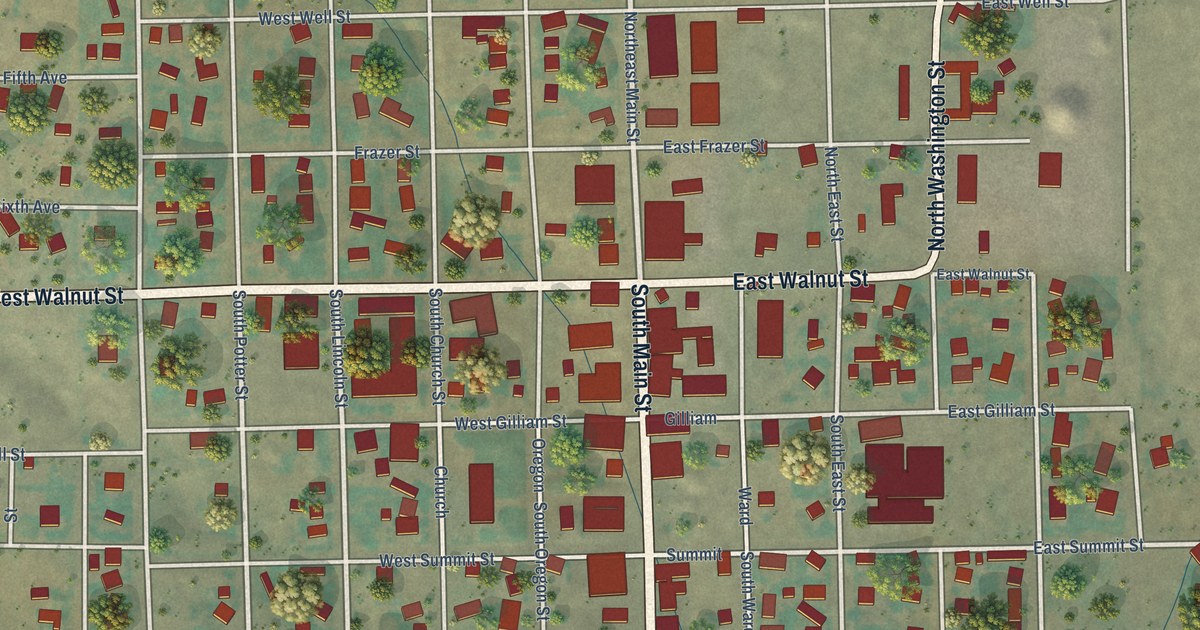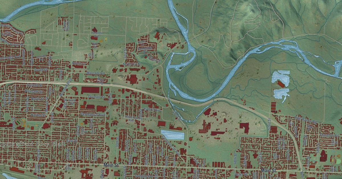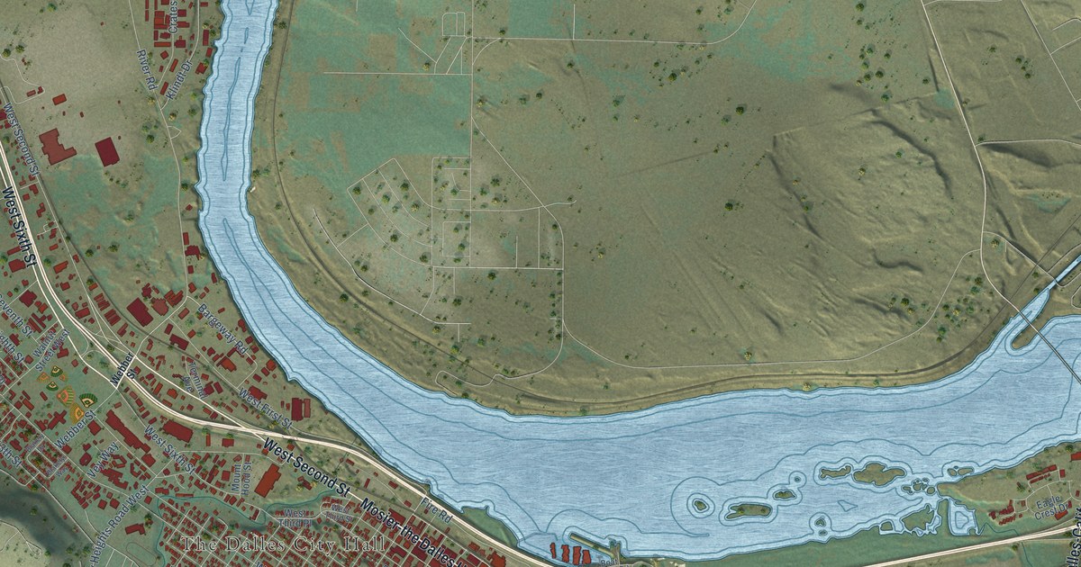
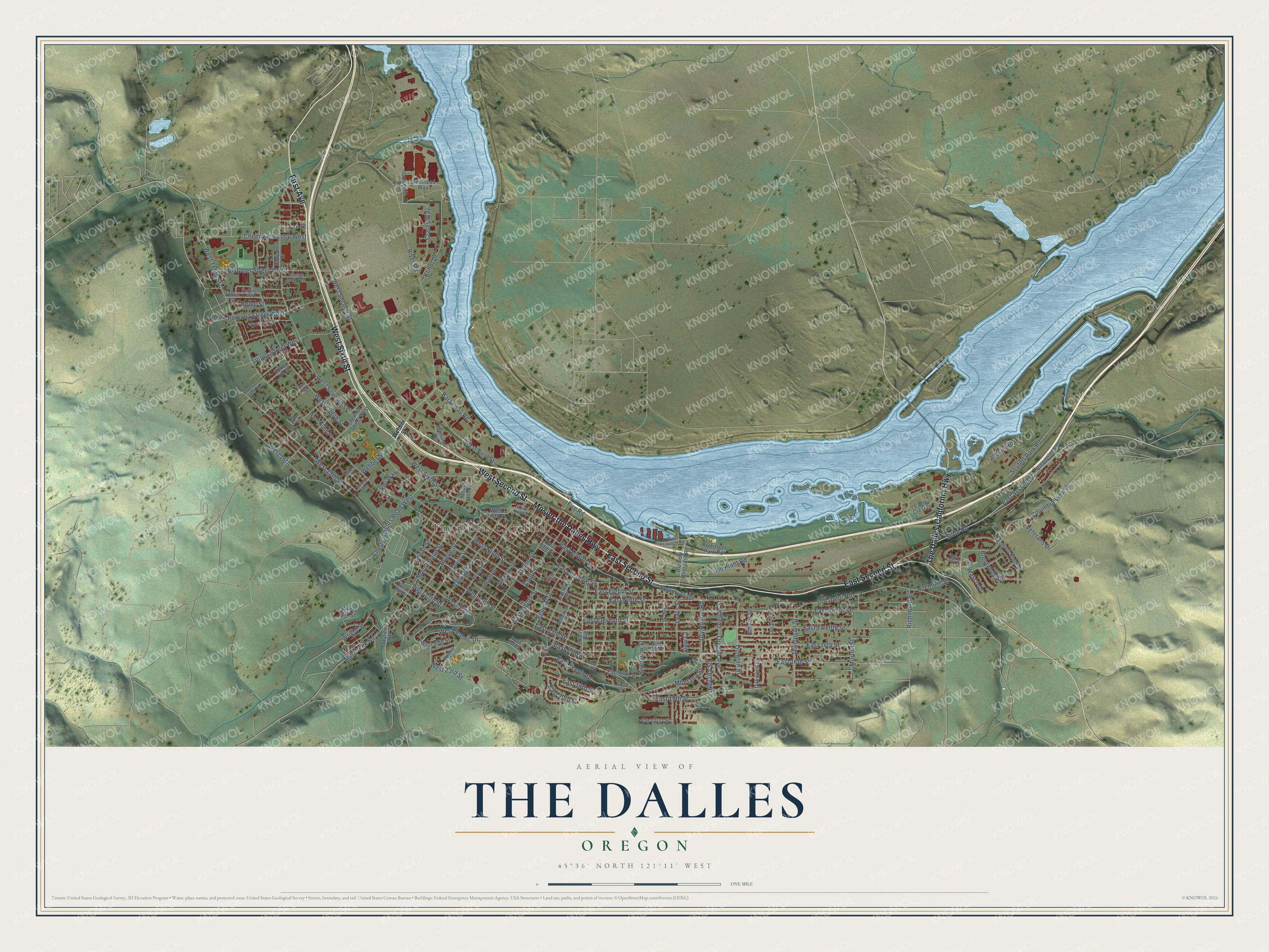
This beautifully detailed map of The Dalles, Oregon was created in 2026 using aerial imagery combined with modern topographical, census, street and landmark data. It's a modern aerial view of The Dalles in Wasco County, Oregon, that combines modern data with a vintage aesthetic. The roads feature printed names, and if you look closely you can find your exact house accurately shown in its correct location.
Explore an aerial view of The Dalles, Oregon
On this map you'll find The Dalles City Hall, Sorosis Park, Mosier-the Dalles Highway, East Second Street, West Sixth Street, West Second Street, First Avenue, The Dalles-California Highway, Webber Street, Bargeway Road, State Road, Dry Hollow Road, and more. Each red shape is a building, so zoom in on the preview and look for yours.
Here is a piece of The Dalles history, in the words of the record. The Oregon Encyclopedia puts it this way: "The U.S. government established Fort Dalles in 1850 to protect Americans traveling on the Oregon Trail. The discovery of gold in Oregon and eastern Washington in the early 1850s brought gold miners to the area and made The Dalles an important link between mining regions and Portland."
The Dalles is a city in Wasco County.
Take a closer look at The Dalles map
Names on this map
These names are printed on this map.
Places: The Dalles City Hall and Sorosis Park.
Streets and roads: Mosier-the Dalles Highway, East Second Street, West Sixth Street, West Second Street, First Avenue, The Dalles-California Highway, Webber Street, Bargeway Road, State Road, Dry Hollow Road, West Scenic Drive, West 13th Street.
More street names, A to Z
15th Place, Blakely Drive, Blakely Way, Boat Launch Road, Brentwood Drive, Brewery Grade, Brewery Overpass Road, Bridge Street, Case Street, Chenoweth Loop West, Cherry Heights Road West, Clark Street, Cliff Street, Columbia Road, Columbia View Drive, Court Street, Crates Way, Dawson Drive, Eagle Crest Drive, East 13th Place, East 13th Street, East 14th Street, East 15th Street, East 16th Place, East 16th Street, East 17th Street, East 18th Street, East 19th Street, East 20th Street, East 21st Street, East Eighth Street, East Eleventh Street, East Fifth Street, East Fourth Street, East Knoll Drive, East Ninth Street, East Scenic Drive, East Seventh Street, East Tenth Street, East Twelfth Street, Federal Street, Fire Road, Floral Street, Fremont Street, Garrison Street, Heritage Way, Home Street, Honey Do Street, Hostetler Street West, Indian Road, Jefferson Street, Jordan Street, Kelly Avenue, Klindt Drive, Laughlin Street, Lee Street, Lewis Street, Liberty Street, Lillian Way, Lincoln Street, Mill Creek Road, Montana Street, Morton Street, Mount Hood Street, Myrtle Street, Nevada Street, Oakwood Drive, Old Dufur Road, Oregon Avenue, Oregon Street, Pentland Street, Pleasant Court West, Pomona Street West, Quinton Street, Richmond Street, Riverfront Park Road, River Road, Riverview Street, Roberts Street, Russula Road, Scenic Drive, Scenic View Lane, Seufert Park Road, Shearer Street, Skyline Road, Snipes Street West, Sorosis Street, Steelhead Way, Sterling Drive, Summit Ridge Drive, Terminal Avenue, Thompson Street, Tie Plant Road, Trevitt Street, Union Street, Verdant Street West, Veterans Drive, Vey Way, View Court, Viewpoint Road, Walnut Street West, Wasco Drive, Washington Street, West 14th Street, West 16th, West 16th Street, West 17th Street, West 18th Street, West 20th Street, West 23rd Street, West 25th Street, West Eighth Street, West First Street, West Ninth Place, West Ninth Street, West Seventh Street, West Tenth Street, West Third Place, West Third Street, Wright Street.
Created by KNOWOL in 2026. The buildings are small red shapes, the roads carry their printed names, and shaded relief shows the shape of the land. The title panel reads "AERIAL VIEW OF THE DALLES OREGON" with 45°36' NORTH 121°11' WEST.
It suits a den, a classroom or a front hall, and it makes a gift for anyone with The Dalles roots. Open the preview and find the block you know. See sizes and frames for The Dalles map.