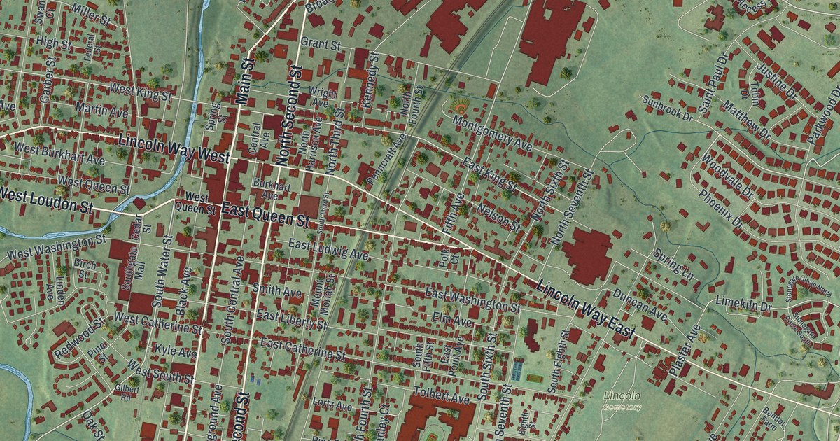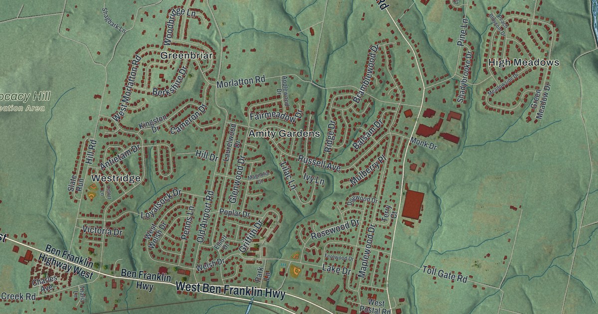
If you grew up off Old Swede Road, or you have family in Douglassville or Amity Gardens, this map gives you plenty to find. It's a modern aerial view of Amity Township in Berks County, Pennsylvania, made from modern data and given a vintage look. Soft green hills fill the sheet, and about 8,400 buildings are marked in red. The river isn't labeled, but you can see it curve along the bottom edge. Monocacy Hill Recreation Area sits in the middle, a quiet green hill with very few buildings on it. Explore the print options for Amity, Berks County.
Old Swede Road from Douglassville to Yellow House
Start in Douglassville, near the bottom right corner, where Old Swede Road meets Old Philadelphia Pike. River Bridge Road runs from the pike down toward the river. Now follow Old Swede Road north. On your left, Russell Avenue leads into Amity Gardens, and Morlatton Road leads into Greenbriar. High Meadows sits off to the right. Keep going past Cider Mill Run to Amityville, near the center of the sheet. Weavertown Road branches west there toward Weavertown. Old Swede Road keeps going north to Boyertown Pike, close to Yellow House. Many of the roads are labeled, and each red shape is a building, so zoom in on the preview and look for yours.
The township's name has a story. Swedes made the first settlements in what's now Berks County, along the river near Douglassville. In 1693, Swedish settlers wrote home to ask for two ministers and some books. In that letter they said, "We live in great amity with the Indians, who have not done us any harm for many years." Amity means friendship. So when Swedes later settled farther north, they called their settlement Amity. That's how the 1886 History of Berks County tells it. The same book says Amity was the first township set up in the land that's now Berks County.
One of those Swedes was Mounce Jones. In 1716, he and his wife, Ingeborg, built a small two-story stone house on the river bank near Douglassville. A stone in the front wall carries their initials and the year. There was a ford across the river there until a bridge went up in 1833. For some years before 1820, the house was a tavern called Lamb's Inn. A state marker calls it the oldest house in the county. The house isn't labeled on the map, but the National Register lists it as Old Swede's House, on Old Philadelphia Pike. Find River Bridge Road near Douglassville and you're right beside it.
For anyone who knows Amityville and Douglassville
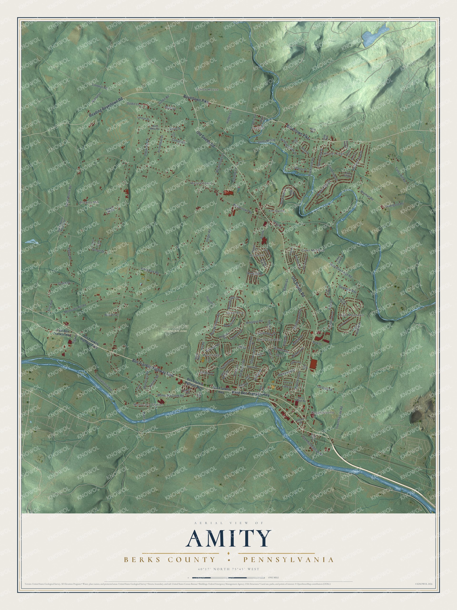
Created by KNOWOL in 2026, this Amity map shows the township's hills in soft shaded green, with the river along the bottom and buildings marked in red. The shaded hills come from USGS elevation data. The title panel reads "Aerial View of Amity, Berks County, Pennsylvania," with the coordinates 40°17' North, 75°45' West and a one-mile scale bar.
It suits a family room, a kitchen or a home office. It's a thoughtful gift for someone who grew up in Amity Gardens, moved away from Douglassville, or has family out near Monocacy Hill. Open the preview, zoom in and find the road you know. Shop the Amity, Berks County, Pennsylvania map.