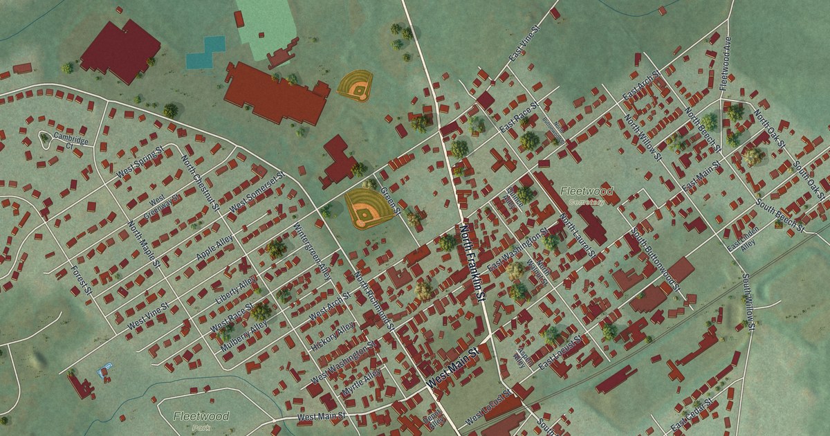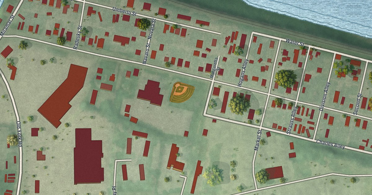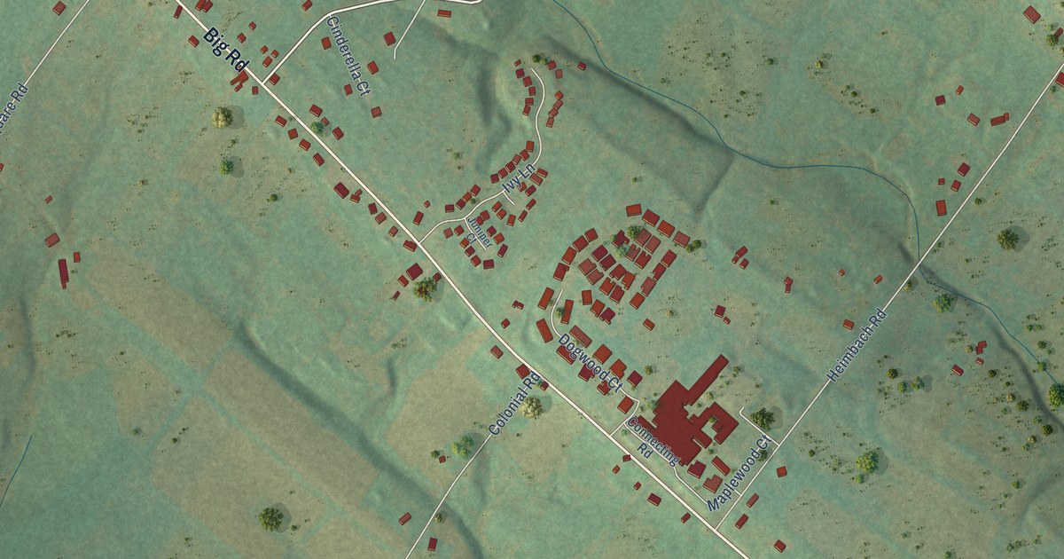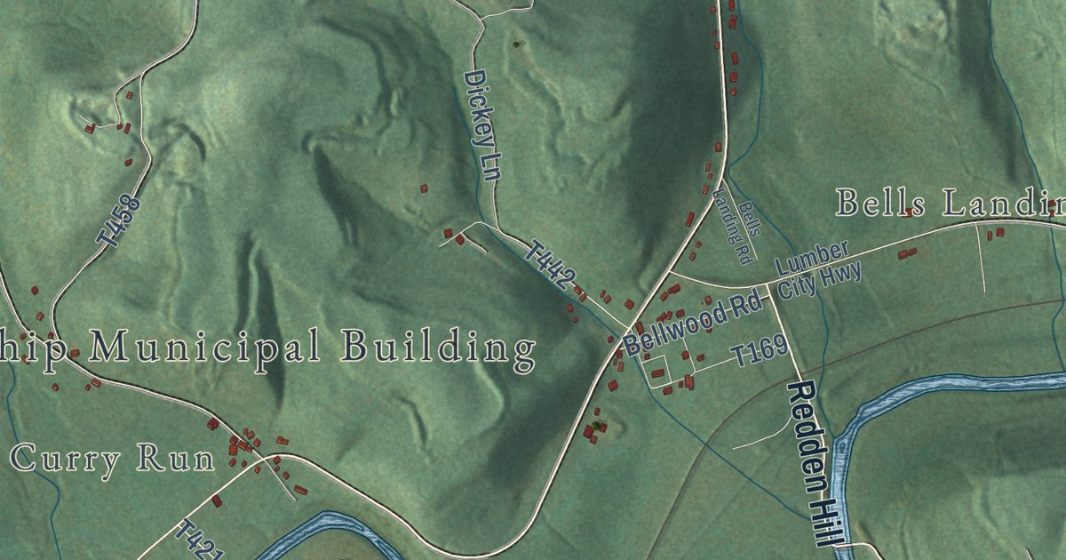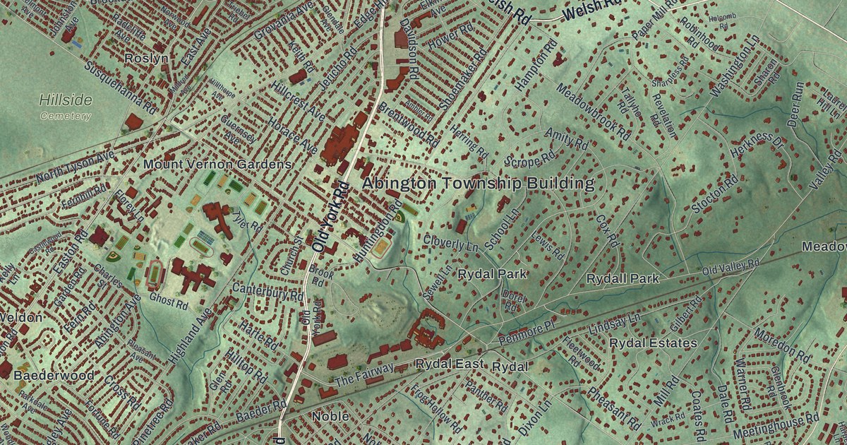
This beautifully detailed map of Abington, Pennsylvania was created in 2026 using aerial imagery combined with modern topographical, census, street and landmark data. It’s a one-of-a-kind view of Abington that combines accurate data with a vintage aesthetic. The map shows every building in its true location, many of the roads carry their names, and the shaded topographic relief shows the shape of the land.
Explore an aerial view of Abington, Pennsylvania
On the map you’ll find Abington Township Building, Alverthorpe Park, Fox Chase Farm, Hillside Cemetery, Lorimer Park, Montefiore Cemetery, Ardsley, Baederwood, Benson East, Bethayres, Chapel Hill Manor, Crestmont, and more. If you look closely you can even find your house accurately drawn in its correct location. Zoom in on the preview to look for yours.
Take a closer look at the Abington map
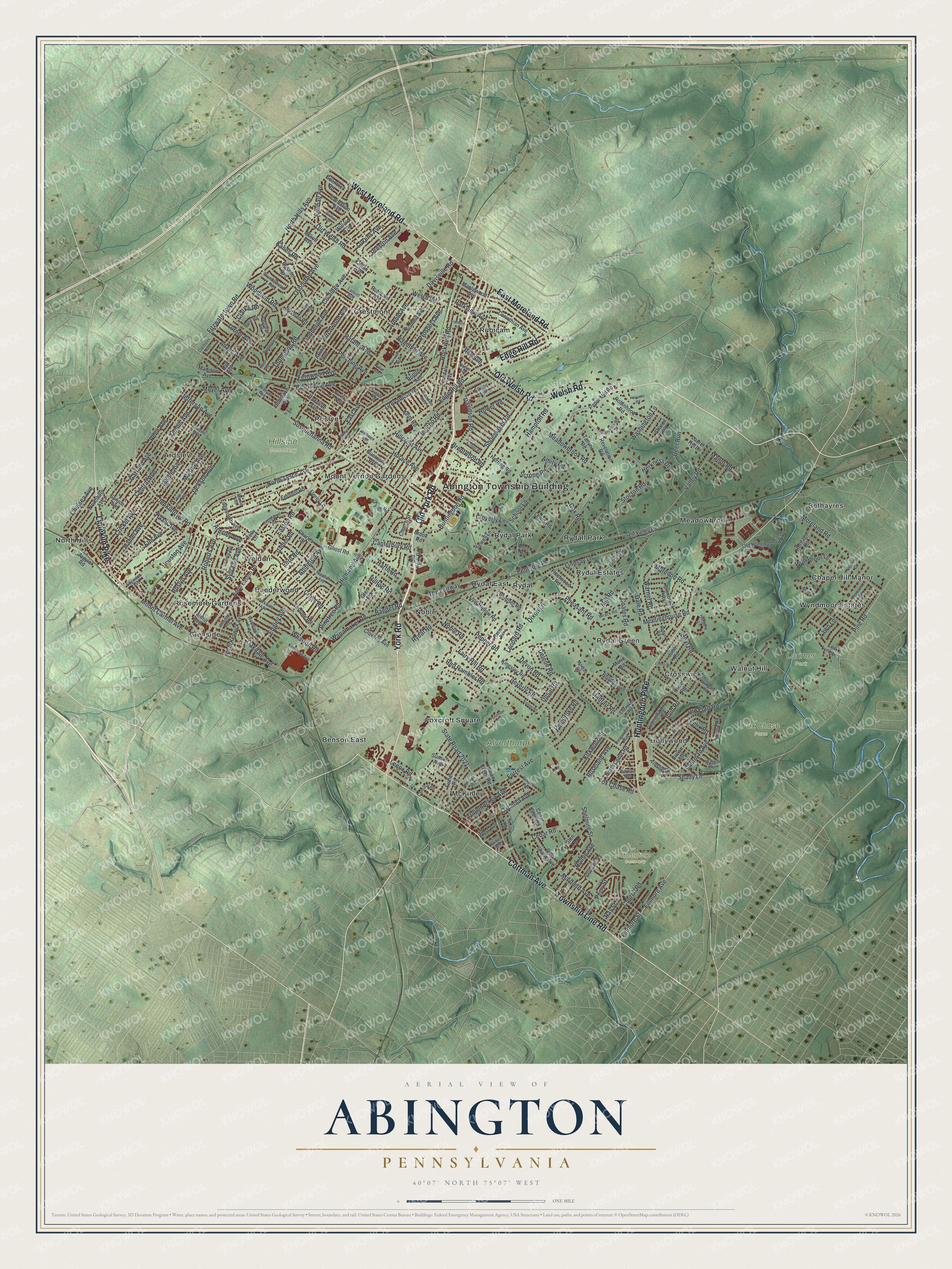
Street and place names on the Abington, Pennsylvania map
These names are printed on the map of Abington, Pennsylvania.
Places: Abington Township Building, Alverthorpe Park, Fox Chase Farm, Hillside Cemetery, Lorimer Park, Montefiore Cemetery, Ardsley, Baederwood, Benson East, Bethayres, Chapel Hill Manor, Crestmont, Crosswicks, Foxcroft Square, Glenside, Hollywood, McKinley, Meadowbrook, Mount Vernon Gardens, Noble, North Hills, Rosemore Gardens, Roslyn, Rubicam, Rydal, Rydal East, Rydal Estates, Rydal Green, Rydal Park, Rydall Park, Walnut Hill, Weldon and Wyndmoor Estates.
Streets and roads: Old Welsh Road, Welsh Road, East Moreland Road, Edge Hill Road, Old York Road, York Road, Cottman Avenue, Huntingdon Pike, Township Line Road, West Moreland Road, Limekiln Pike, Easton Road.
More street names, A to Z
Abington Avenue, Ainslie Road, Ambler Road, Amity Road, Anna Road, Anzac Avenue, Ardsley Avenue, Argyle Road, Arline Avenue, Arnold Avenue, Baeder Road, Belmont Avenue, Berkley Avenue, Bertram Road, Beverly Road, Birchwood Avenue, Brentwood Road, Brookdale Avenue, Brook Road, Brown Avenue, Bruce Avenue, Butler Avenue, Canterbury Road, Cardinal Road, Carnation Avenue, Castlewood Road, Cedar Glen Road, Cedar Road, Central Avenue, Charles Street, Chelsea Avenue, Cherokee Avenue, Church Road, Church Street, Claire Avenue, Clarke Road, Clemens Avenue, Cloverly Avenue, Cloverly Lane, Coates Road, Coolidge Avenue, Corinthian Avenue, Cox Road, Cricket Avenue, Cross Road, Dale Road, Davidson Road, Davisville Road, Deer Run, Delene Road, Devon Road, Dixon Lane, Dorel Road, Doris Road, Douglass Avenue, East Avenue, Edgecomb Avenue, Edgerton Avenue, Edgley Avenue, Elkins Avenue, Elliott Avenue, Elm Avenue, Fairhill Avenue, Fairview Avenue, Fairy Hill Road, Fawn Lane, Felix Road, Ferndale Avenue, Fernhill Road, Fern Road, Fernwood Avenue, Fillmore Avenue, Fillmore Street, Fisher Road, Fitzwatertown Road, Fleetwood Road, Florey Lane, Forrest Avenue, Fortune Road, Fox Chase Road, Frazier Road, Frog Hollow Road, Garden Road, Garfield Avenue, Ghost Road, Gilbert Road, Glenbrook Road, Glendale Avenue, Glen Lane, Glen Road, Goentner Road, Grovania Avenue, Guernsey Avenue, Haines Avenue, Hall Avenue, Hamel Avenue, Hamilton Avenue, Hampton Road, Harpers Lane, Harrison Avenue, Harte Road, Hazel Avenue, Henrietta Avenue, Heritage Road, Herkness Drive, Herring Road, Highland Avenue, Hillcrest Avenue, Hillthorpe Avenue, Hilltop Road, Hilltop Terrace, Holcomb Road, Holme Avenue, Horace Avenue, Houston Avenue, Hower Road, Hoyt Road, Huntingdon Road, Indian Creek Road, Irvin Road, Jackson Avenue, Jefferson Avenue, Jenkintown Road, Jericho Road, Johnston Avenue, June Road, Kanes Road, Keith Road, Kelly Lane, Kenmore Avenue, Kimball Avenue, Kingsley Road, Kipling Road, Kirkwood Street, Lamott Avenue, Laurel Hill Lane, Lee Lynn Lane, Lenox Road, Leopard Road, Lewis Road, Lillian Avenue, Lincoln Avenue, Lindbergh Avenue, Linden Avenue, Lindsay Lane, Linton Road, Llanfair Road, Longstreth Avenue, Lukens Avenue, Madison Avenue, Mankin Avenue, Manor Road, Maple Avenue, Maplewood Avenue, Marie Road, Mayfield Avenue, Meadowbrook Road, Meetinghouse Road, Melmar Road, Meyer Avenue, Mildred Avenue, Mill Road, Monroe Avenue, Moredon Road, Moreland Road, Morgan Road, Mount Carmel Avenue, Nicholas Drive, Noble Road, Nolen Road, Norman Road, North Cedar Road, North Easton Road, North Hills Avenue, Northhills Avenue, North Keswick Avenue, North Tyson Avenue, Norwood Avenue, Nylsor Avenue, Oakdale Avenue, Oak Shade Avenue, Old Ford Road, Old Huntingdon Pike, Old Valley Road, Oliver Road, Osbourne Avenue, Osceola Avenue, Panther Road, Paper Mill Road, Parkdale Avenue, Parkview Avenue, Partridge Road, Patane Avenue, Pembroke Road, Penmore Place, Penn Avenue, Pepper Road, Perry Street, Pershing Avenue, Pheasant Road, Pine Road, Pinetree Road, Pleasant Avenue, Pondview Road, Preston Avenue, Prospect Avenue, Radcliffe Avenue, Ray Street, Red Rambler Road, Revelation Road, Rhodes Avenue, Roberts Avenue, Robinhood Road, Robyn Road, Rockwell Road, Rolling Hill Road, Roseland Avenue, Rose Road, Roslyn Avenue, Rossiter Avenue, Rothley Avenue, Roy Avenue, Rubicam Avenue, Rydal Road, School Lane, Scrope Road, Serrill Road, Sewell Lane, Shady Lane, Sharon Road, Sharpless Road, Shelmire Street, Sherman Avenue, Shoemaker Road, Spruce Avenue, State Road 2021, Stocton Road, Summit Avenue, Sunset Avenue, Susquehanna Road, Sylvania Avenue, Tallyho Road, Tennis Avenue, The Fairway, Thompson Road, Thorpe Road, Thunderhead Road, Tremont Road, Triebel Road, Tulpehocken Avenue, Turner Avenue, Tyler Road, Upsal Road, Valley Road, Wanamaker Road, Warner Road, Washington Lane, West Avenue, Wharton Road, Willard Avenue, Windsor Avenue, Wingate Road, Woodland Road, Woodlawn Avenue, Woodlyn Road, Wrack Road, Wunderland Road, Wyndmoor Lane.
See the Abington, Pennsylvania map on a wall
The Abington map as an 18 x 24 inch print in a black frame.

This beautifully detailed map of Abington makes an attractive addition to your office, library, or den, and it can even be used to teach children the geography and history of the area. It also makes a great gift for someone who left Abington and still calls it home. When you’re done exploring, click here to get your copy of the Abington map.