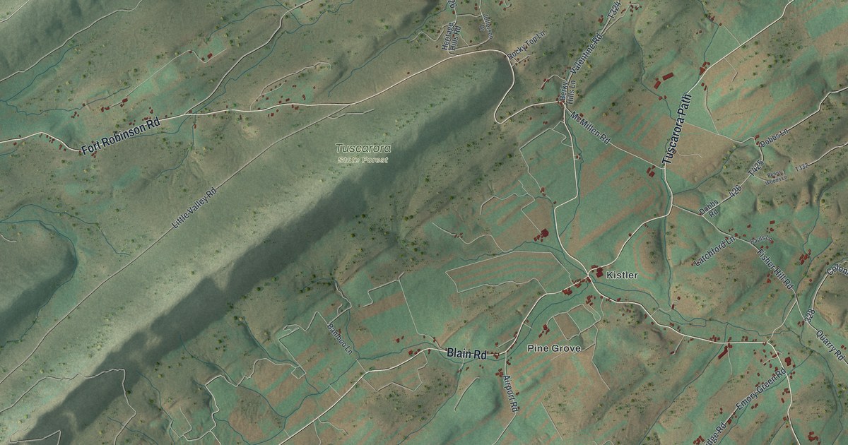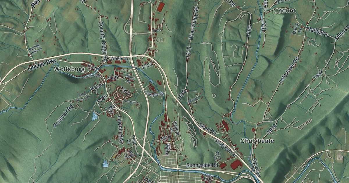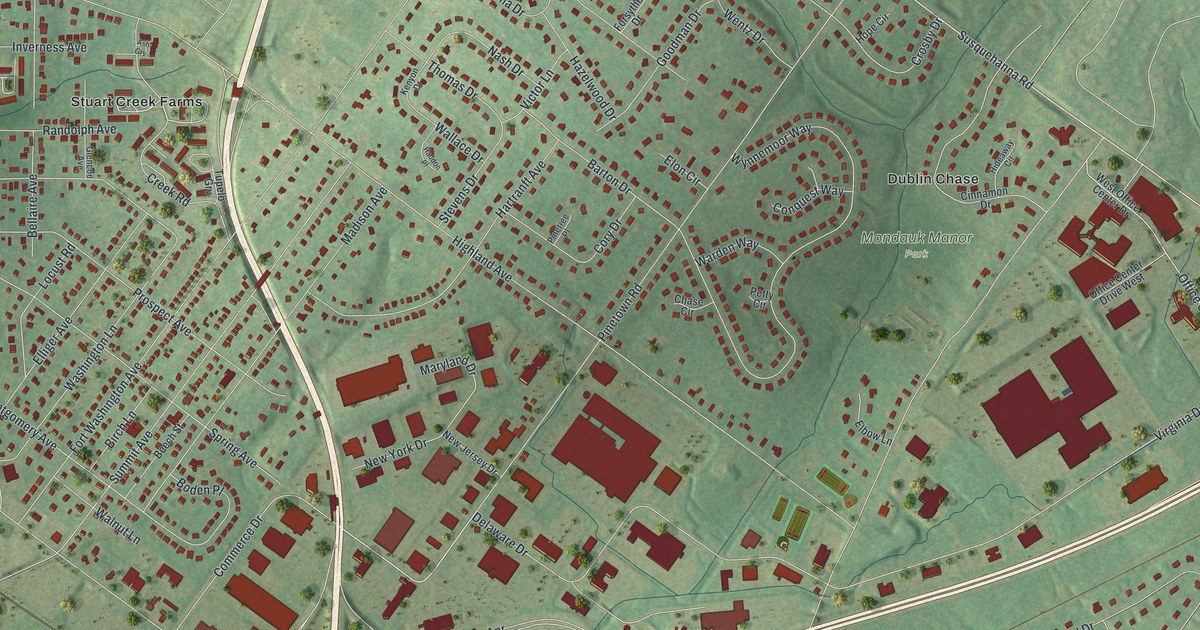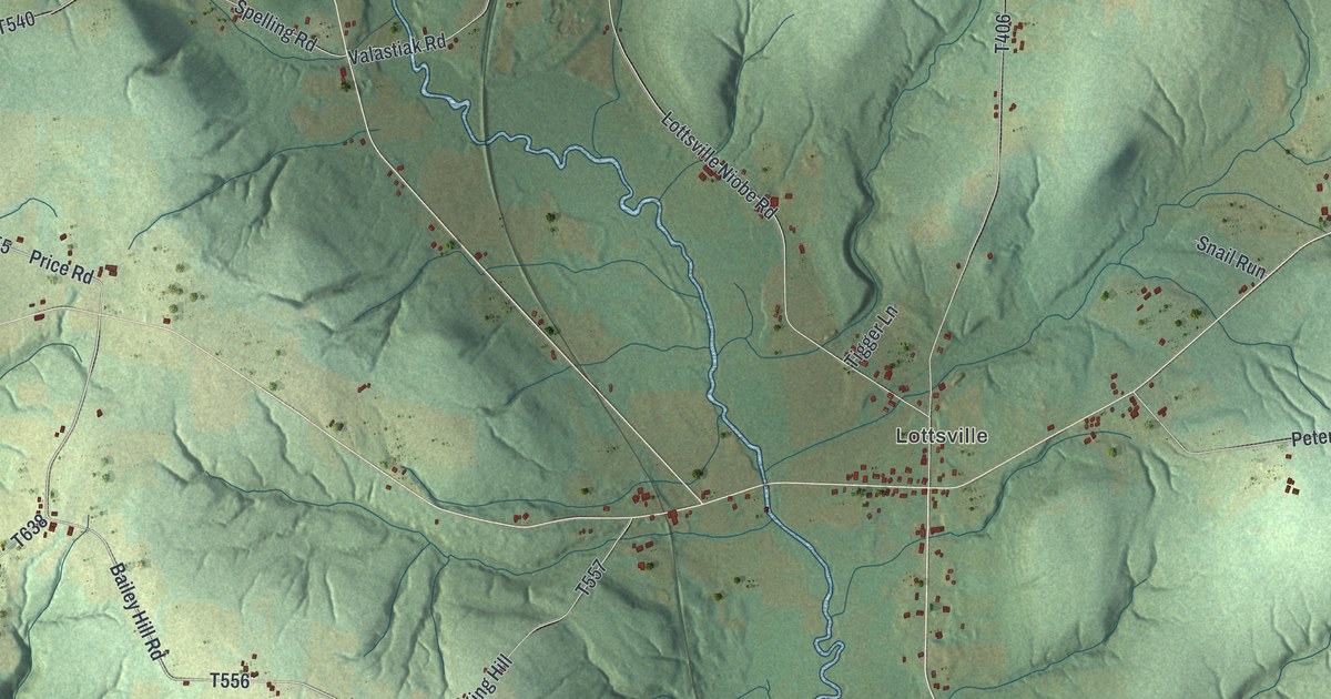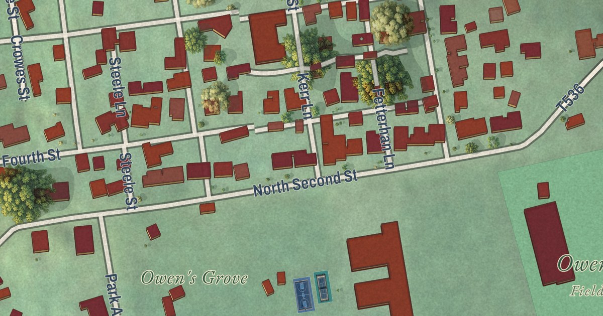
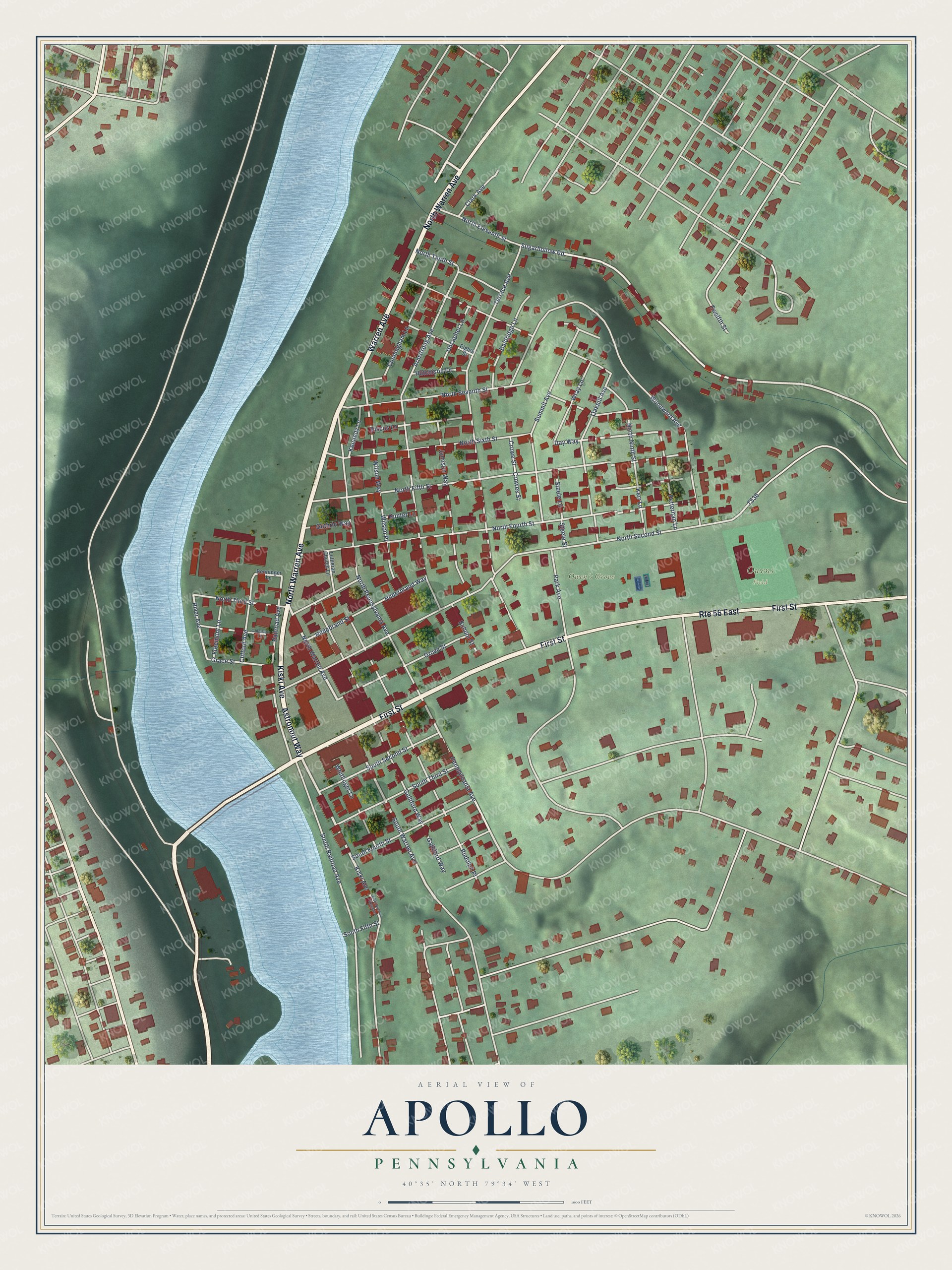
This beautifully detailed map of Apollo, Pennsylvania was created in 2026 using aerial imagery combined with modern topographical, census, street and landmark data. It’s a one-of-a-kind view of Apollo that combines accurate data with a vintage aesthetic. The map shows every building in its true location, many of the roads carry their names, and the shaded topographic relief shows the shape of the land.
Explore an aerial view of Apollo, Pennsylvania
On the map you’ll find Owen’s Grove and Owens Field, along with North Warren Avenue, Astronout Way, Kiski Avenue, Warren Avenue, First Street, South Warren Avenue, Sugarhollow Road, Railroad Avenue, Wilson Way, North Sixth Street, and more. If you look closely you can even find your house accurately drawn in its correct location. Zoom in on the preview to look for yours.
Did you know this piece of Apollo, Pennsylvania history?
Apollo began as a farm called Warren’s Sleeping Place, named for Native American trader Edward Warren. The town of Warren was entered on the Greensburg register in 1816. When the post office came in 1848, the town became Apollo, so it would not be confused with another Warren in Pennsylvania. The new name honors the Greek god Apollo.
Take a closer look at the Apollo map
Street and place names on the Apollo, Pennsylvania map
These names are printed on the map of Apollo, Pennsylvania.
Places: Owen's Grove and Owens Field.
Streets and roads: North Warren Avenue, Astronout Way, Kiski Avenue, Warren Avenue, First Street, Route 56 East, South Warren Avenue, Sugarhollow Road, Pennsylvania Avenue, Wilson Way, Railroad Avenue, River Avenue.
More street names, A to Z
Armstrong Avenue, Baldridge Lane, Benninger Lane, Clark Avenue, Clifford Avenue, Coleman Lane, Crowes Street, Crowe Street, Cunningham Lane, Day Way, Eighth Street, Fetterhan Lane, Fiscus Lane, Freemont Lane, Galliford Way, Grace Street, Grove Street, Gulliford Way, Guthrie Way, Hildebrand Street, Hilderbrand Way, Hunter Lane, Hutchison Lane, Jamison Way, Kennedy Lane, Kerr Lane, Kiski Avenue Extended, Lutheran Church Lane, North Eleventh Street, North Fifth Street, North Fourth Street, North Ninth Street, North Pennsylvania Avenue, North Second Street, North Seventh Street, North Sixth Street, North Tenth Street, North Third Street, Oakhill Avenue, Park Avenue, Rudolph Place, School Street, South Fifth Street, South Fourth Street, South Railroad Avenue, South Second Street, South Third Street, Steele Lane, Steele Street, Summit Avenue, Terrace Avenue, Twelfth Street, Uncapher Lane, Whitlinger Lane, Wilson Place, Woodward Avenue, Wray Lane.
See the Apollo, Pennsylvania map on a wall
The Apollo map as an 18 x 24 inch print in a black frame.

This beautifully detailed map of Apollo makes an attractive addition to your office, library, or den, and it can even be used to teach children the geography and history of the area. It also makes a great gift for someone who left Apollo and still calls it home. When you’re done exploring, click here to get your copy of the Apollo map.