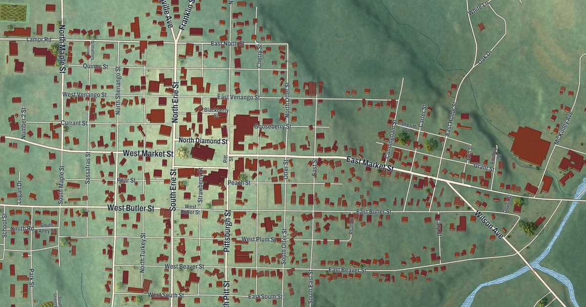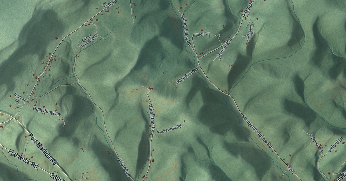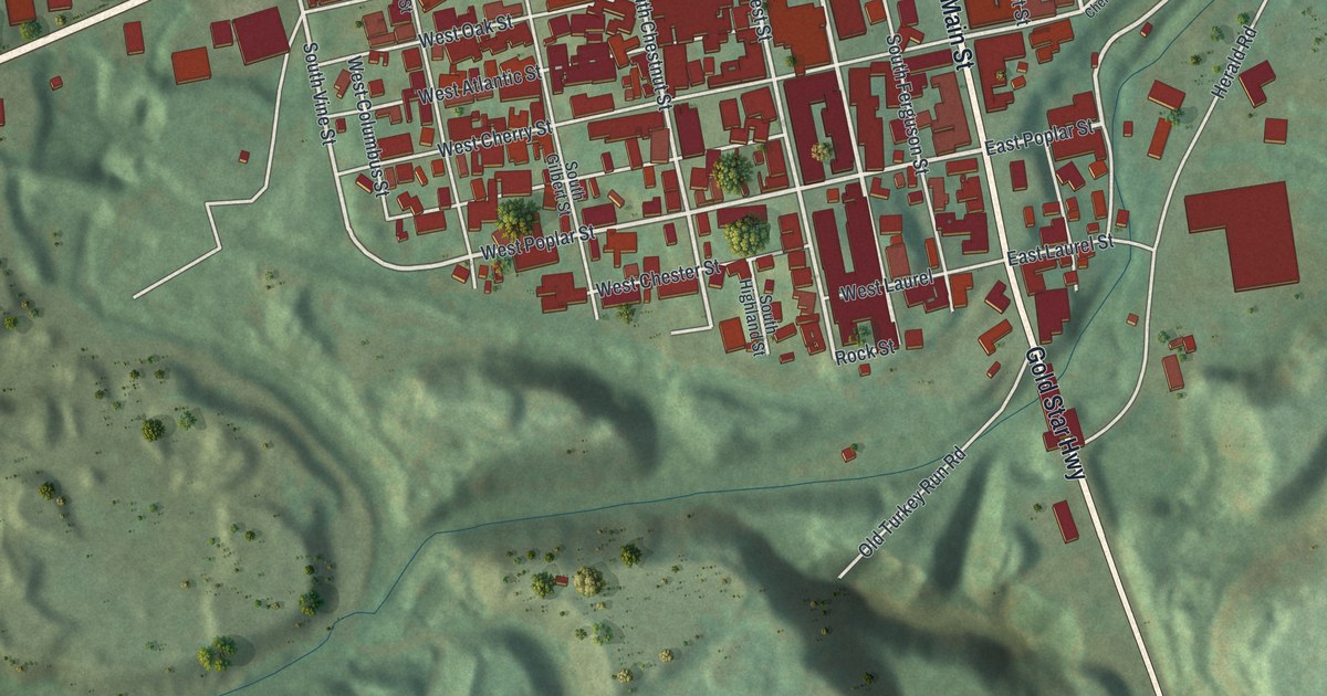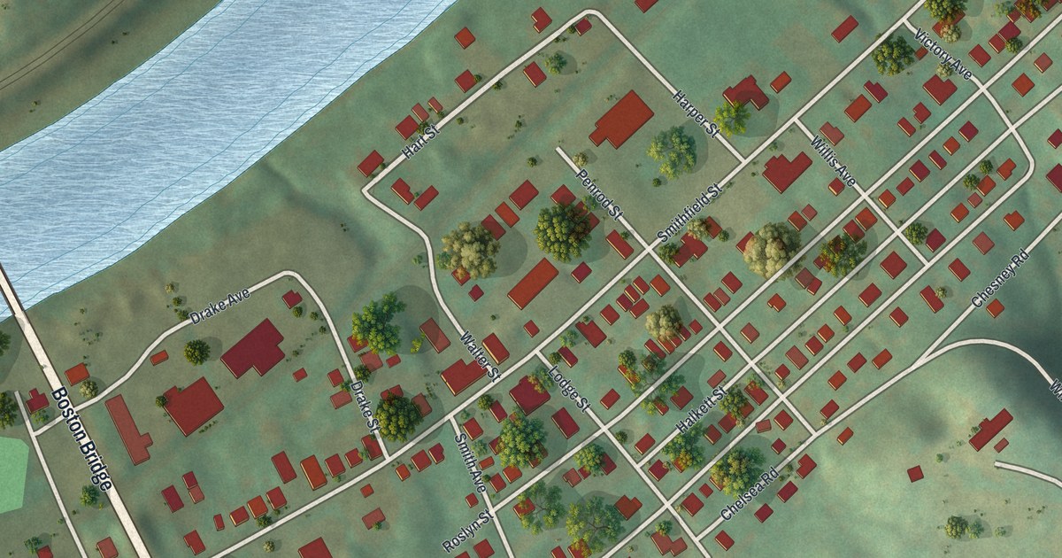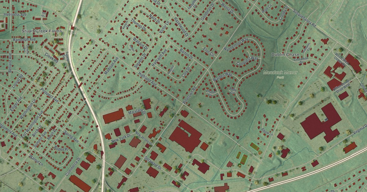
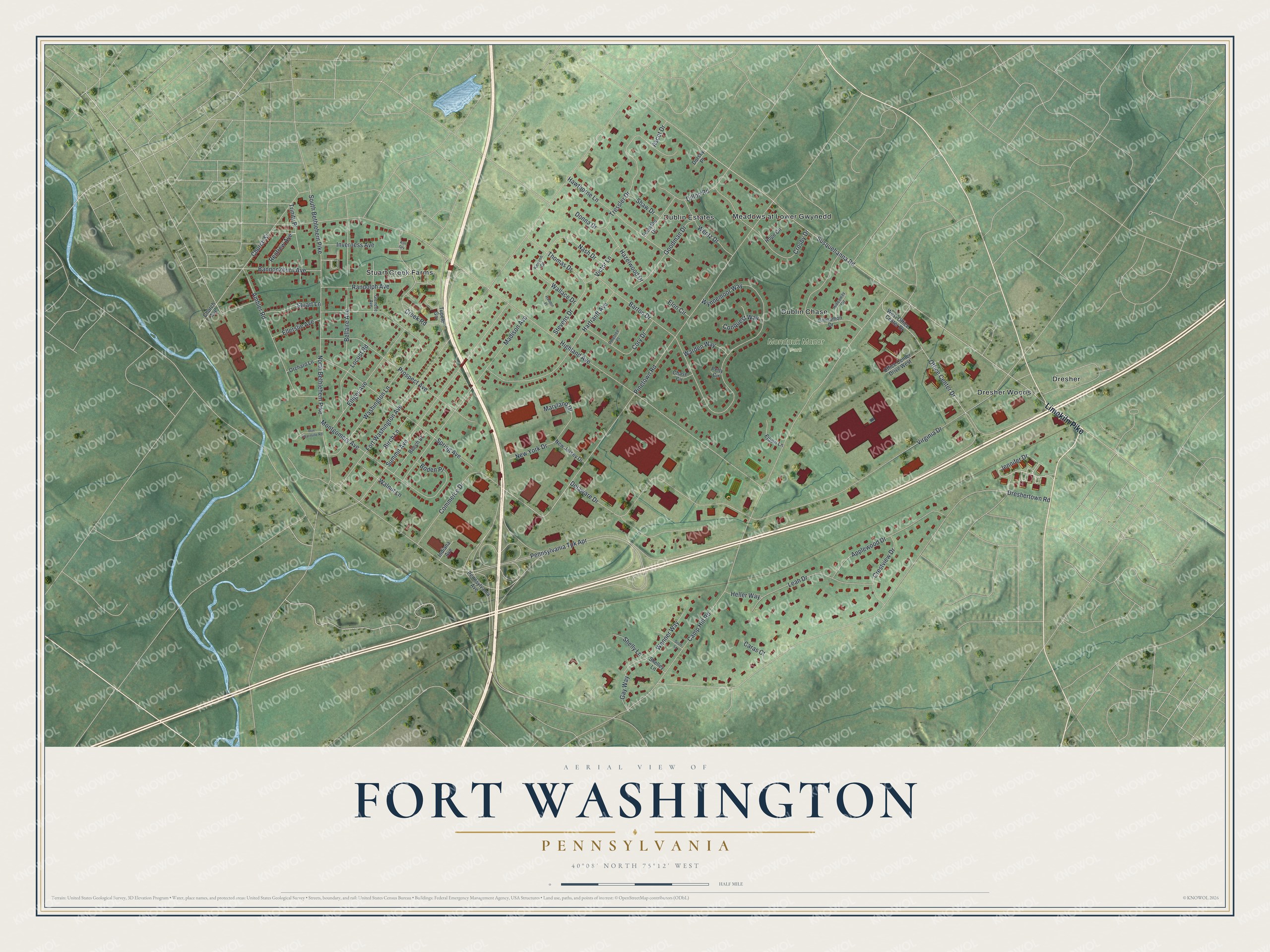
This beautifully detailed map of Fort Washington, Pennsylvania was created in 2026 using aerial imagery combined with modern topographical, census, street and landmark data. It's a modern aerial view of Fort Washington in Montgomery County, Pennsylvania, that combines modern data with a vintage aesthetic. The roads feature printed names, and if you look closely you can find your exact house accurately shown in its correct location.
Explore an aerial view of Fort Washington, Pennsylvania
On this map you'll find Mondauk Manor Park, Stuart Creek Farms, Dresher Woods, Meadows at Lower Gwynedd, Dublin Estates, Dublin Chase, Dresher, Limekiln Pike, Jennifer Drive, Susquehanna Road, North Bethlehem Pike, Highland Avenue, and more. Each red shape is a building, so zoom in on the preview and look for yours.
Here is a piece of Fort Washington history. Fort Washington took its name from a temporary fort that soldiers of the American Revolution built nearby in the fall of 1777. Whitemarsh, as the area was called then, held the camp of 12,000 soldiers of General Washington's army from November 2 until December 11, 1777. Clifton House, built in 1801 and once the Sandy Run Tavern, became home to the Fort Washington Historical Society and its library and museum. That's from the Pennsylvania DCNR.
Fort Washington is a community in Montgomery County. The Census Bureau counted 5,910 people here in 2020.
Take a closer look at the Fort Washington map
Names on this map
These names are printed on this map.
Places: Mondauk Manor Park, Stuart Creek Farms, Dresher Woods, Meadows at Lower Gwynedd, Dublin Estates, Dublin Chase and Dresher.
Streets and roads: Limekiln Pike, Jennifer Drive, Susquehanna Road, North Bethlehem Pike, Highland Avenue, Camp Hill Road, Fort Washington Avenue, Dreshertown Road, Virginia Drive, Pinetown Road, Pennsylvania Tpk Apr, Hartranft Avenue.
More street names, A to Z
Ambler Road, Applewood Drive, Ascot Drive, Ash Grv, Bannockburn Avenue, Barton Drive, Beech Street, Bellaire Avenue, Birch Lane, Boden Place, Caras Court, Chase Circle, Church Avenue, Church Street, Cinnamon Drive, Commerce Drive, Conquest Way, Cory Drive, Creek Road, Crestview Drive, Crosby Drive, Delaware Drive, Dillon Road, Donna Drive, Dorsey Place, Elbow Lane, Ellerslie Avenue, Elliger Avenue, Elon Circle, Forsythe Drive, Gay Way, Glencoe Avenue, Goodman Drive, Haddon Place, Hawthorne Lane, Hazelwood Drive, Heller Way, Hideaway Circle, Hope Circle, Indiana Avenue, Inverness Avenue, Kenyon Drive, Leah Drive, Locust Road, Madison Avenue, Maryland Drive, Montgomery Avenue, Nash Drive, New Jersey Drive, New York Drive, Office Center Drive, Office Center Drive West, Orchard Lane, Pennsylvania Avenue, Petty Circle, Pinetree Place, Prospect Avenue, Randolph Avenue, Renfrew Avenue, Rue Charmille Road, Scott Lane, Shaw Drive, Shelley Lane, Shelly Lane, South Bethlehem Pike, Spring Avenue, Stevens Drive, Stuart Lane, Summit Avenue, Thomas Drive, Tressler Drive, Trinity Place, Tupelo Grv, Victor Lane, Wallace Drive, Walnut Lane, Warden Way, Washington Lane, Wenner Way, Wentz Drive, West Office Center Drive, Wynnemoor Way.
See it on a wall
The Fort Washington map as a framed print. Swipe for more.


Created by KNOWOL in 2026. The buildings are small red shapes, the roads carry their printed names, and shaded relief shows the shape of the land. The title panel reads "AERIAL VIEW OF FORT WASHINGTON, PENNSYLVANIA" with 40°08' NORTH 75°12' WEST.
It suits a den, a classroom or a front hall, and it makes a gift for anyone with Fort Washington roots. Open the preview and find the block you know. See sizes and frames for the Fort Washington map.