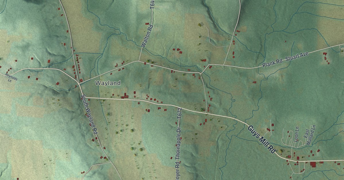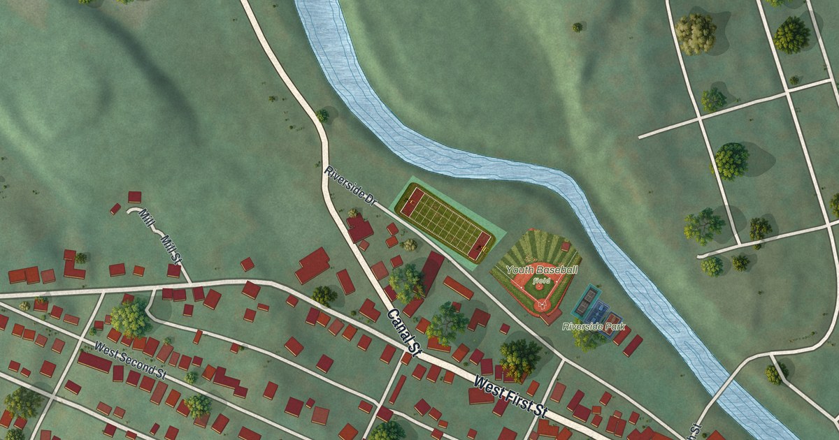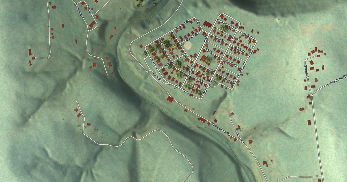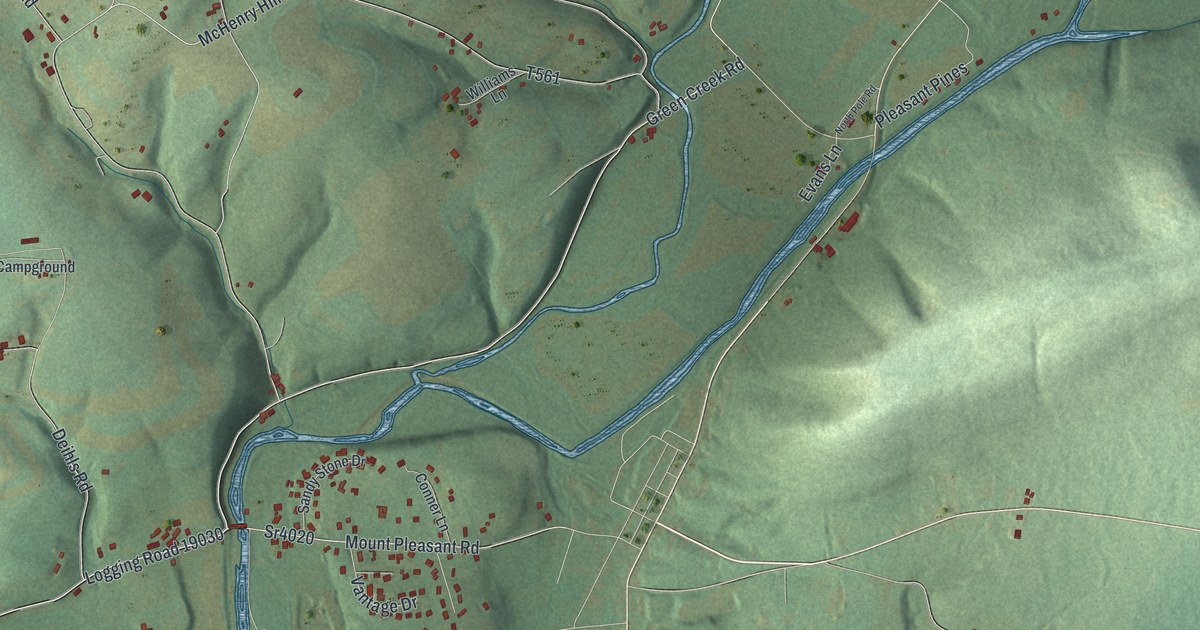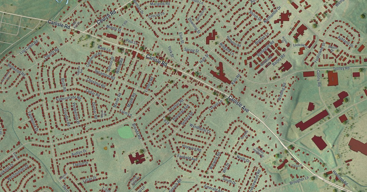
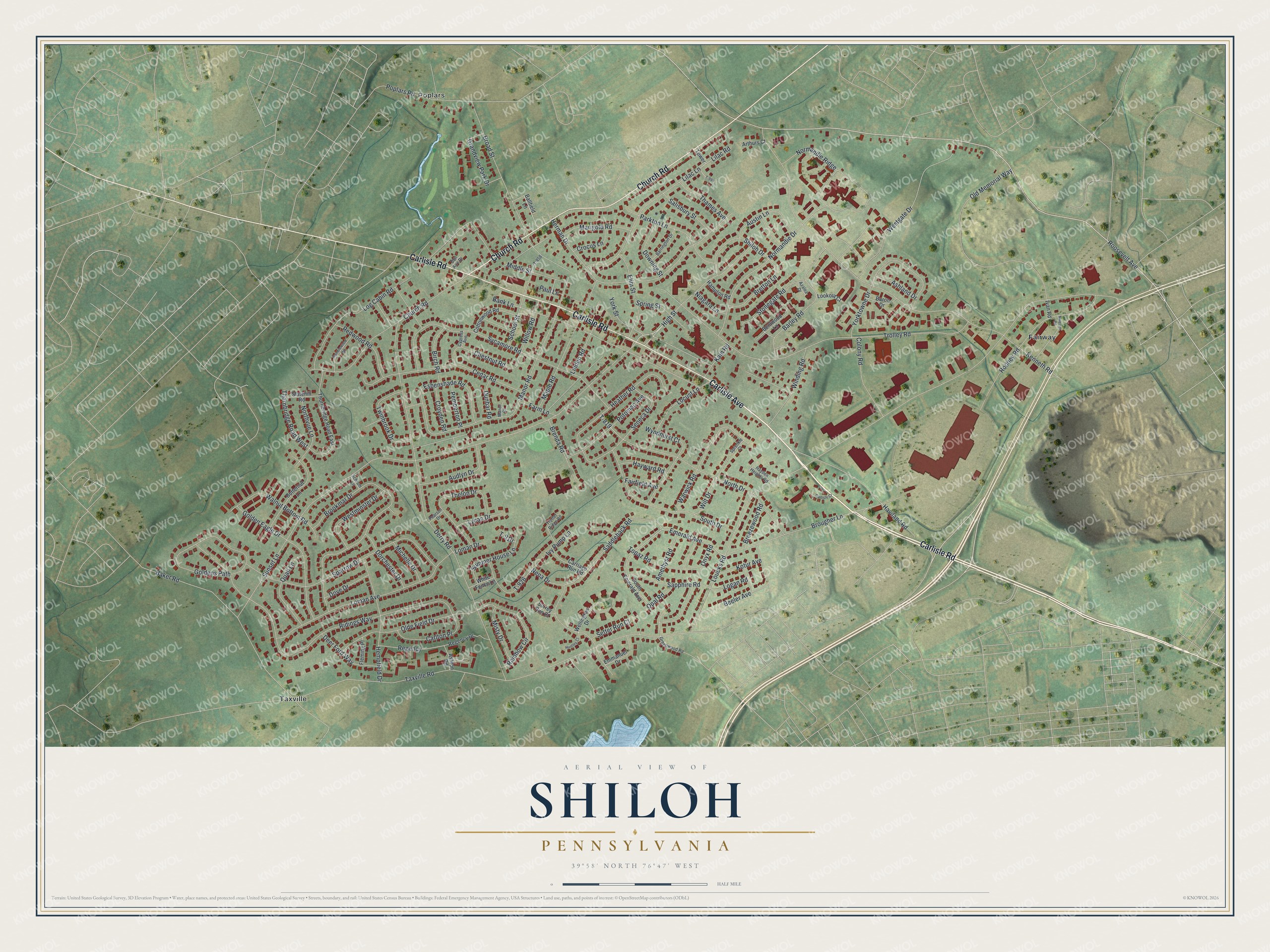
This beautifully detailed map of Shiloh, Pennsylvania was created in 2026 using aerial imagery combined with modern topographical, census, street and landmark data. It's a modern aerial view of Shiloh in York County, Pennsylvania, that combines modern data with a vintage aesthetic. The roads feature printed names, and if you look closely you can find your exact house accurately shown in its correct location.
Explore an aerial view of Shiloh, Pennsylvania
On this map you'll find Poplars, Taxville, Fairway, Carlisle Road, Carlisle Avenue, Church Road, High Street, Roosevelt Avenue, Regency, Loucks Road, Sunset Lane, Taxville Road, and more. Each red shape is a building, so zoom in on the preview and look for yours.
Shiloh has a story worth telling. Shiloh Church was built of brick along the Dover road in West Manchester Township in 1883, and it was given the historic name Shiloh when it was dedicated on May 27 of that year. For many years before that, services had been held in Neiman's schoolhouse. That's from the History of York County.
Shiloh is a community in York County. The Census Bureau counted 11,524 people here in 2020.
Take a closer look at the Shiloh map
Names on this map
These names are printed on this map.
Places: Poplars, Taxville and Fairway.
Streets and roads: Carlisle Road, Carlisle Avenue, Church Road, High Street, Roosevelt Avenue, Regency, Loucks Road, Sunset Lane, Taxville Road, Derry Road, Kenneth Road, Trolley Road.
More street names, A to Z
Amethyst Road, Arthurs Court, Ashland Drive, Ashton Road, Audlyn Drive, Austin Lane, Azalea Drive, Baker Road, Ballfield Lane, Bank Lane, Barley Road, Baron Drive, Barrington Drive, Beeler Avenue, Bentwood Lane, Birch Road, Bon Aire Drive, Breezewood Road, Brenda Road, Bretton Lane, Broad Street, Brookmar Drive, Brougher Lane, Butternut Lane, Carlisle Court, Carlton Place, Carriage Run Road, Cedar Road, Chestnut Road, Colony Road, Cottonwood Road, Crocus Lane, Croyden Road, Cypress Avenue, Deer Ford Way, Dorchester Drive, Dove Drive, Downing Street, Dunbar Road, Elim Street, Emerald Avenue, Emmanuel Drive, Esbenshade Road, Fairfield Avenue, Farm Lane, Fleming Place, Golden Eagle Drive, Goldens Path, Grandview Park Drive, Greenwood Road, Hampton Road, Haviland Road, Hayden Heights Road, Hayward Road, Heather Road, Hempfield Drive, Herman Drive, Huntley Court, Ivan Road, Ivy Pump Lane, Kain Road, Kotur Avenue, Lilac Lane, Lilac Road, Linden Road, Locust Lane, Logan Road, Log Cabin Road, Loman Avenue, Loman Drive, Lookout Court, Lycan Drive, Malcolm Road, Manor Court, Manor Road, Maple Road, Marigold Road, Michelle Drive, Middle Street, Misty Drive, Nena Drive, Niagara Lane, Normandie Drive, Normandie Ridge, North Drive, Northvue Lane, Olde Field Drive, Old Memorial Way, Onyx Road, Opal Road, Parkton Lane, Paul Lane, Pearson Drive, Pemberton Place, Poplars Road, Potomac Avenue, Quail Lane, Rainbow Circle, Ramblewood Road, Redwood Road, Regency Drive, Ridings Way, Rodney Road, Saddleback Road, Salisbury Street, Sapphire Road, School Street, Schrum Lane, Seneca Drive, Setter Run Court, Shiloh Drive, Slatehill Road, South Drive, South Emerald Avenue, Sparrow Drive, Sprenkle Court, Spring Street, Stonegate Road, Summer House Lane, Surrey Run Court, Sycamore Road, T-819, T-858, T-910, T-926, T-994, Thames Avenue, Thelon Drive, Thornbridge Road East, Thornbridge Road West, Topaz Road, Tower, Trotter Ridge Road, Twinbrook Drive, Walnut Bottom Road, Warwick Road, Wellington Drive, Westgate Drive, Westminster Drive, White Fence Lane, Willow Road, Wilt Drive, Winding Road, Wyndhurst Court, York Street, Yorktowne Drive.
See it on a wall
The Shiloh map as a framed print. Swipe for more.


Created by KNOWOL in 2026. The buildings are small red shapes, the roads carry their printed names, and shaded relief shows the shape of the land. The title panel reads "AERIAL VIEW OF SHILOH, PENNSYLVANIA" with 39°58' NORTH 76°47' WEST.
It looks right in a kitchen, an office or a den, and it's a gift for anyone who grew up in Shiloh or moved away. Open the preview and find your street. See sizes and frames for the Shiloh map.