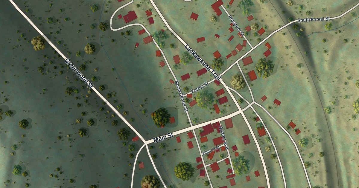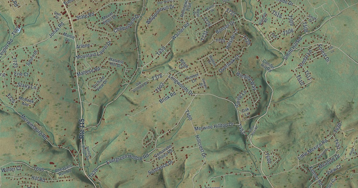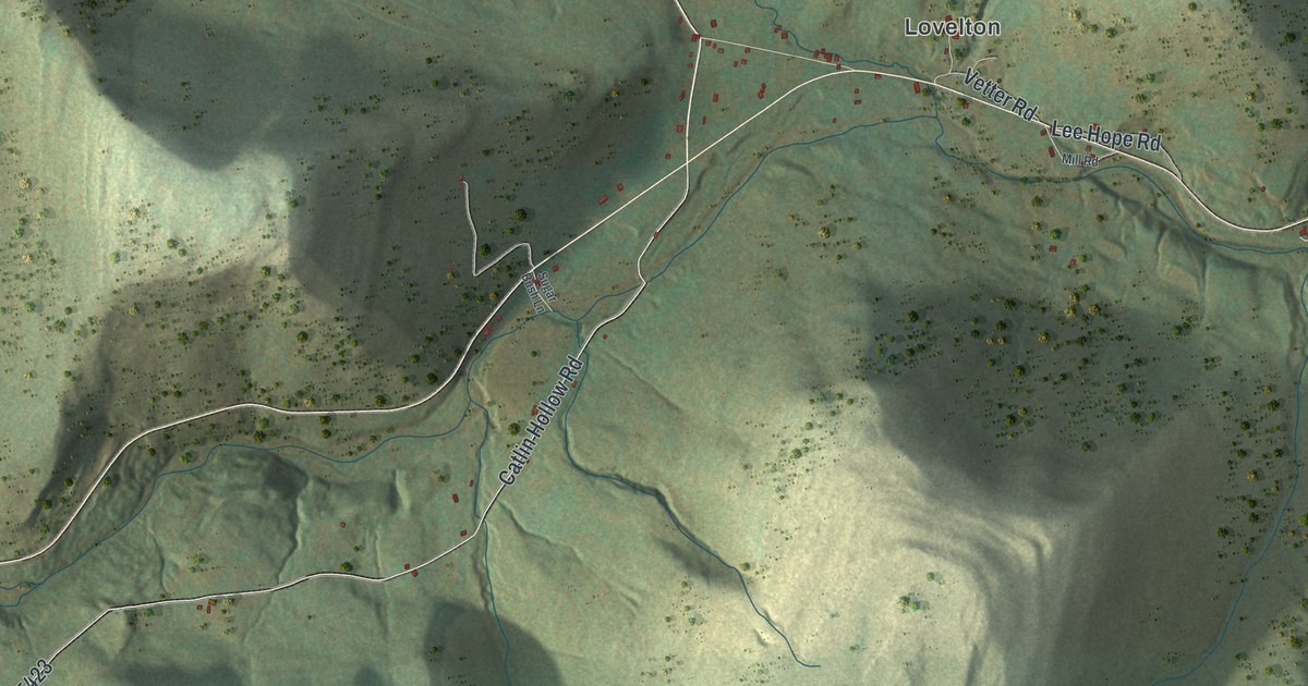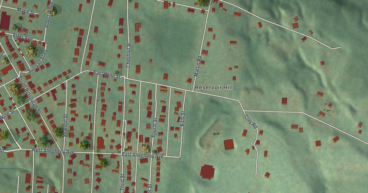
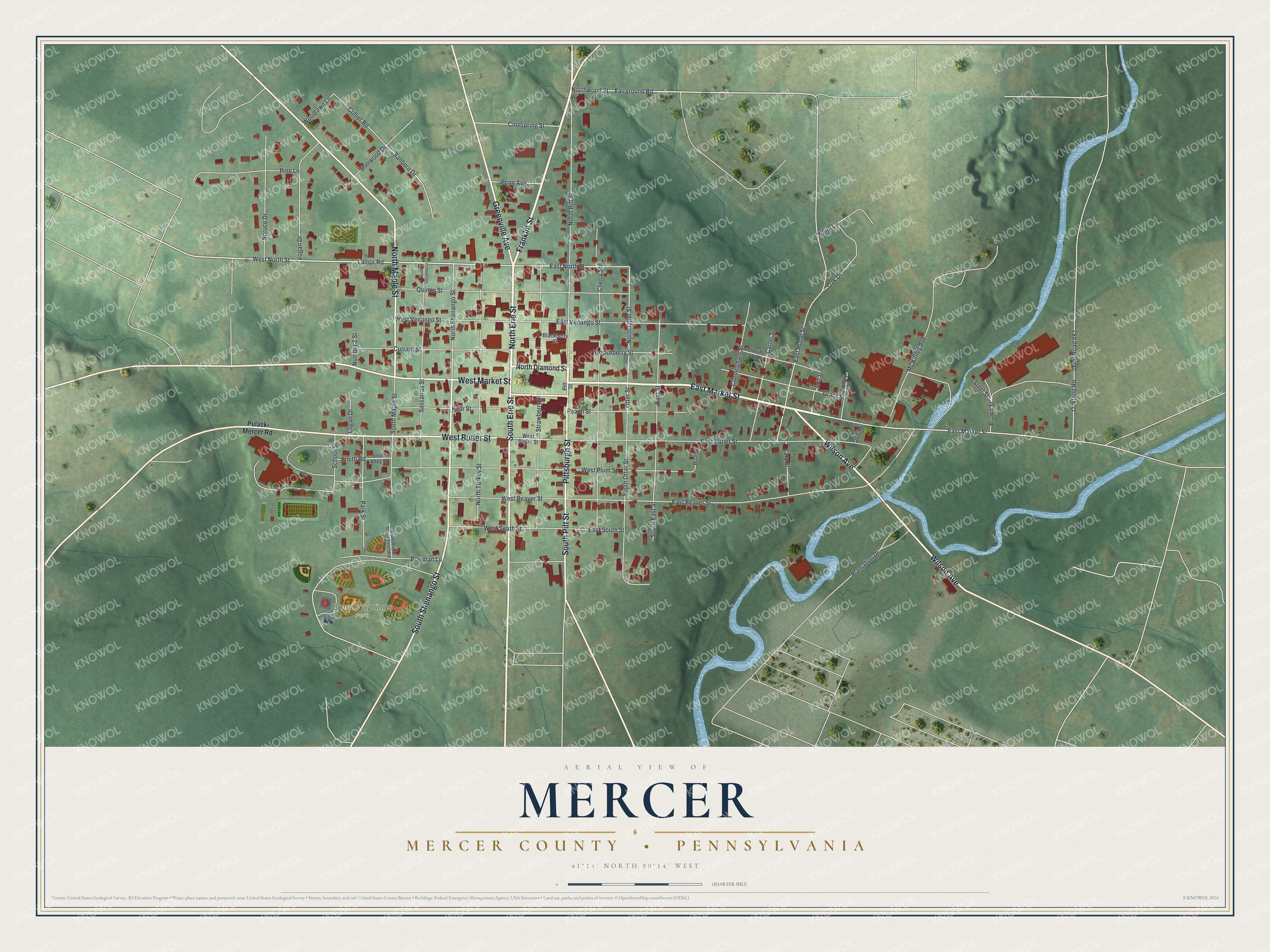
This beautifully detailed map of Mercer, Mercer County, Pennsylvania was created in 2026 using aerial imagery combined with modern topographical, census, street and landmark data. It's a modern aerial view of Mercer, Mercer County in Mercer County, Pennsylvania, that combines modern data with a vintage aesthetic. The roads feature printed names, and if you look closely you can find your exact house accurately shown in its correct location.
Explore an aerial view of Mercer, Mercer County, Pennsylvania
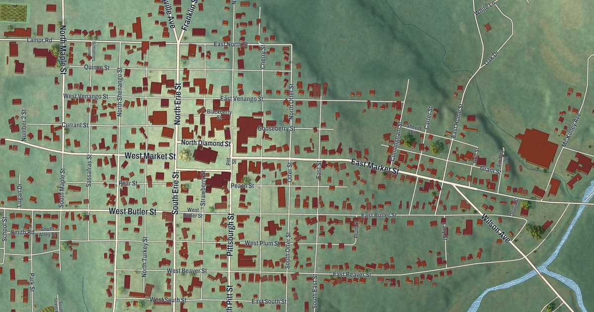
On this map you'll find Brandy Springs Park, Pittsburgh Street, North Erie Street, Franklin Street, East Market Street, South Erie Street, Wilson Avenue, Greenville Avenue, West Market Street, North Maple Street, West Butler Street, South Shenango Street, and more. Each red shape is a building, so zoom in on the preview and look for yours.
Every town has a first chapter, and Mercer, Mercer County is no exception. The Pennsylvania Historical and Museum Commission puts it this way: "In memory of General Hugh Mercer. Born in Scotland, Colonel on General Forbes Expedition against Fort Duquesne 1758, Commander at Fort Pitt 1759, Colonel 3rd Virginia Regiment 1776, Brigadier General Continental army 1776, killed in the Battle of Princeton 1777."
Mercer, Mercer County is a borough in Mercer County. The Census Bureau counted 1,982 people here in 2020.
Take a closer look at the Mercer, Mercer County map
Names on this map
These names are printed on this map.
Places: Brandy Springs Park.
Streets and roads: Pittsburgh Street, North Erie Street, Franklin Street, East Market Street, South Erie Street, Wilson Avenue, Greenville Avenue, West Market Street, North Maple Street, West Butler Street, South Shenango Street, South Pitt Street.
More street names, A to Z
Blackberry Street, Bowman Lane, Brown Street, Carter Street, Cherry Street, Collier Road, Coolspring Street, Cunningham Street, Currant Street, Depot Street, East Beaver Street, East Butler Street, East Home Street, East North Street, East South Street, East Street, East Venango Street, Fairground Road, Findley Street, Gooseberry Street, Grant Street, Grill Street, Lamor Road, Lary Street, Logan Drive, Mc Kinley Avenue, North Diamond Street, North Otter Street, North Pitt Street, North Sassafras Street, North Shenango Street, North Turkey Street, Northwood Street, Number 2 Street, Oak Drive, Oakland Road, Otter Street, Park Street, Peach Street, Pear Street, Penn Avenue, Pine Lane, Pitt Street, Plantation Drive, Plum Street, Pulaski Mercer Road, Quince Street, Sanbern Drive, Sassafras Street, School Street, Sheriff Street, Sherwood Drive, Smith Road, South Alley Street, South East Street, South Maple Street, South Maple Street Extended, South Otter Street, Spruce Drive, Steel Street, Strawberry Street, Twp Road 682, Vogan Drive, West Beaver Street, West North Street, West Plum Street, West South Street, West Venango Street, White Lane, Woodlawn Lane.
See it on a wall
The Mercer, Mercer County map as a framed print. Swipe for more.


Created by KNOWOL in 2026. The buildings are small red shapes, the roads carry their printed names, and shaded relief shows the shape of the land. The title panel reads "AERIAL VIEW OF MERCER, MERCER COUNTY • PENNSYLVANIA" with 41°14' NORTH 80°14' WEST.
Hang it in the hallway, the office or the cabin, or give it to someone who left Mercer, Mercer County and still calls it home. Open the preview and look for a street you know. See sizes and frames for the Mercer, Mercer County map.