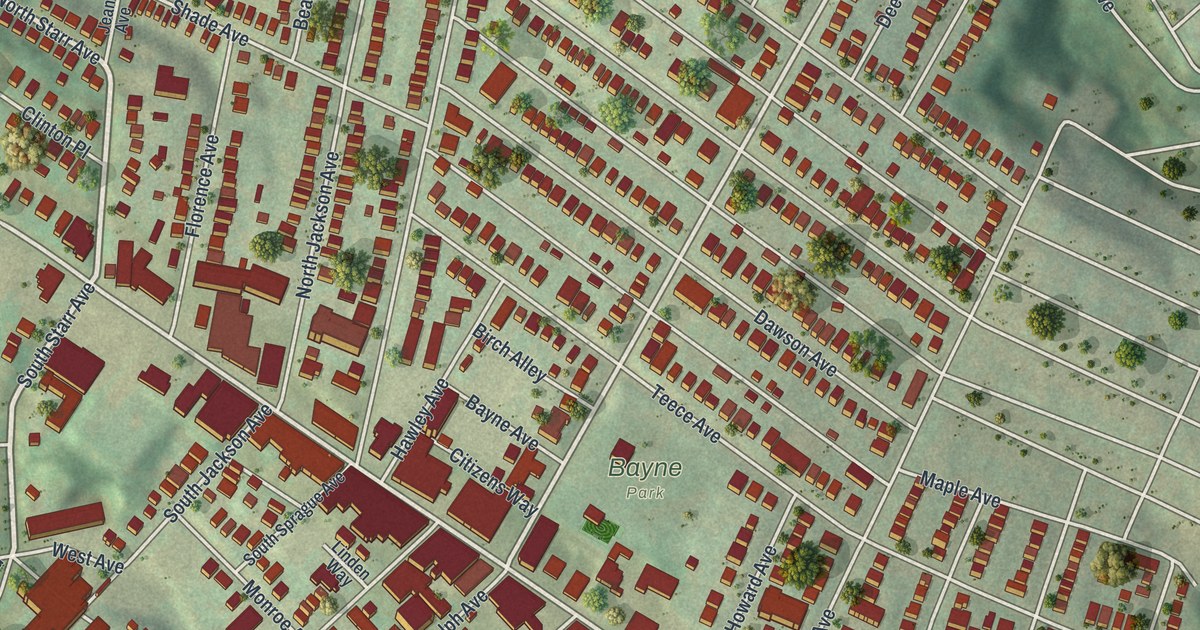
If you grew up in Bellevue or have family on its hillside streets, this map is for you. It's a new aerial view of Bellevue in Allegheny County, Pennsylvania, made from modern data and given a vintage look. The town fills the slope above the Ohio River, and the wide blue river runs along the lower left. More than 4,000 red buildings line the streets, from the busy blocks near Bayne Park up to the curve of Woods Avenue at the top.
Lincoln Avenue, Bayne Park and Your Street
On this map you'll find Lincoln Avenue, Ohio River Boulevard, Bayne Park, North Balph Avenue, Brighton Road, Jacks Run Road, Orchard Avenue, Riverview Avenue, North Starr Avenue, Woods Avenue, Union Avenue, Davis Avenue, West Bellevue Road, Center Street, and more. Each red shape is a building, so zoom in on the preview and look for yours.
The Miller House on Lincoln Avenue
Bellevue has a home on the National Register of Historic Places. It's the Andrew S. and Elizabeth Miller House at 366 Lincoln Avenue. The house was added to the list in 2019. Find Lincoln Avenue on the map and you'll find its block. The Register also lists the McKees Rocks Bridge, which crosses the Ohio River at Bellevue. That bridge was added in 1988.
The First Lock and Dam on the Ohio River
The river at the edge of town has a story too. A state marker stands on Ohio River Boulevard at the Avalon line. It tells of the Davis Island Lock and Dam, the first lock and dam built on the Ohio River. Work on it ran from 1878 to 1885. The marker says it was the world's largest movable dam built up to then. It also had the world's first rolling lock gate and the widest lock chamber. The U.S. Army Corps of Engineers built it and ran it. In 1922 the nearby Emsworth Locks and Dams took its place. On the map, Ohio River Boulevard follows the water, the same road that leads to the marker.
From Woods Avenue Down to Ohio River Boulevard
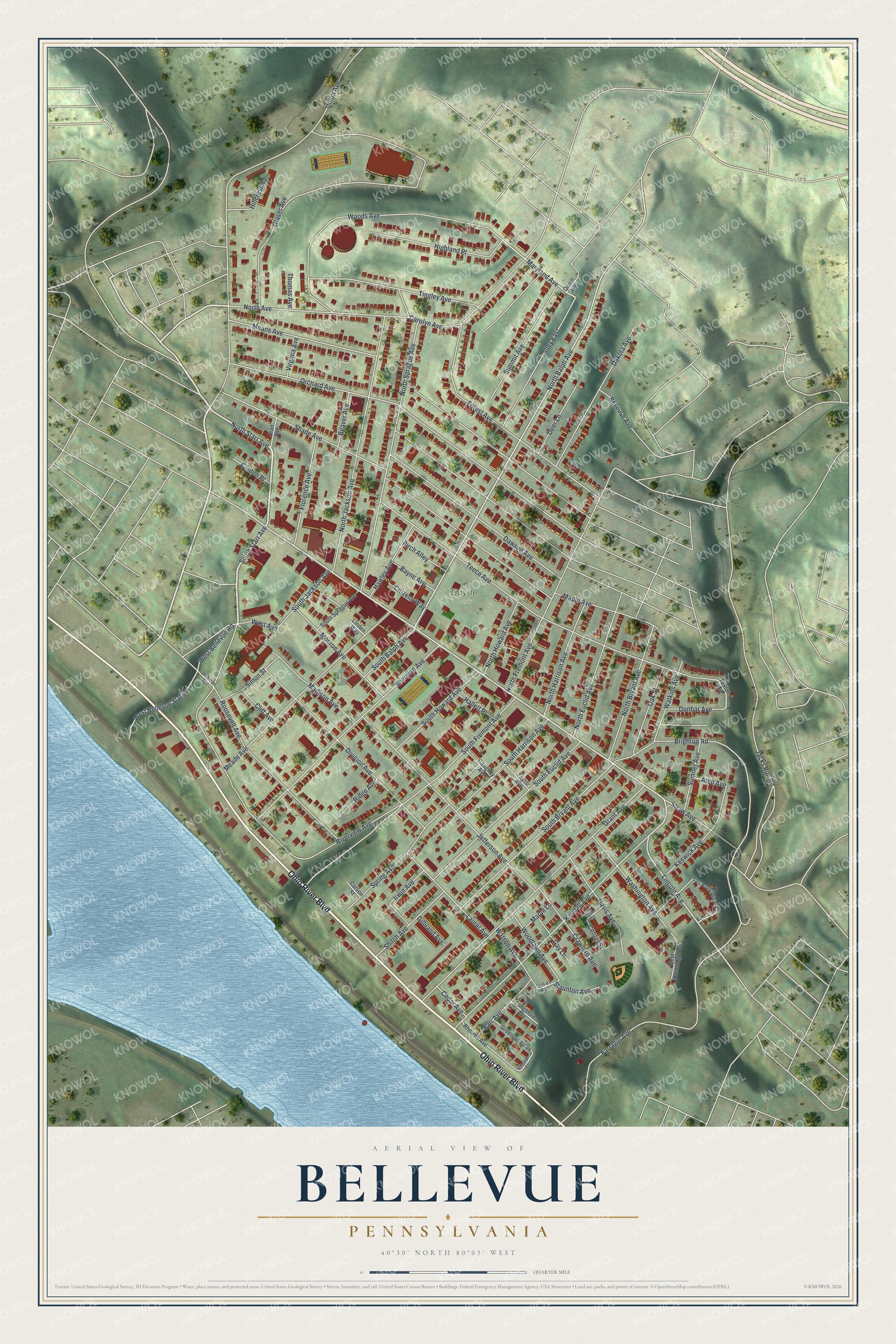
Created by KNOWOL in 2026, the print shows Bellevue from above in soft greens, with red buildings, gray streets and the blue Ohio River at the lower left. The title panel reads "Aerial View of Bellevue, Pennsylvania" with the coordinates 40°30' North 80°03' West.
It suits a living room, a front hall or a home office. It's a good gift for someone who grew up near Bayne Park, or for a Bellevue family that moved away. Open the preview and find your street. See sizes and frames for the Bellevue map.