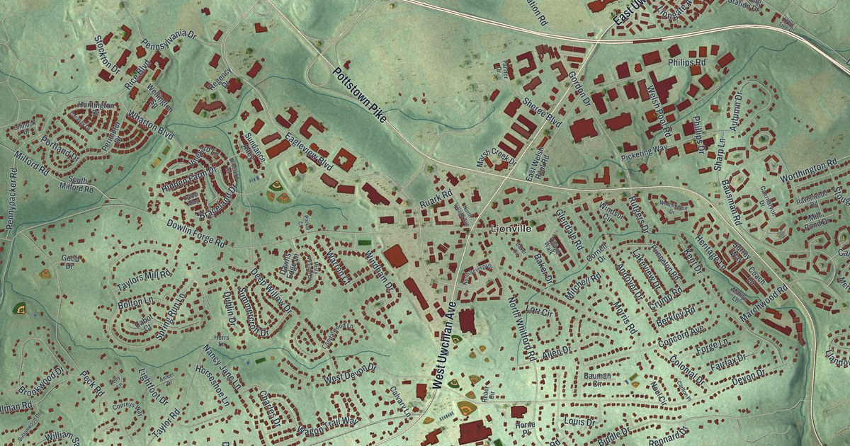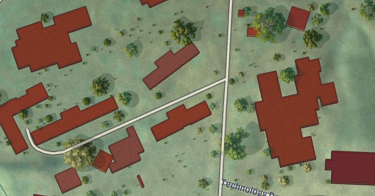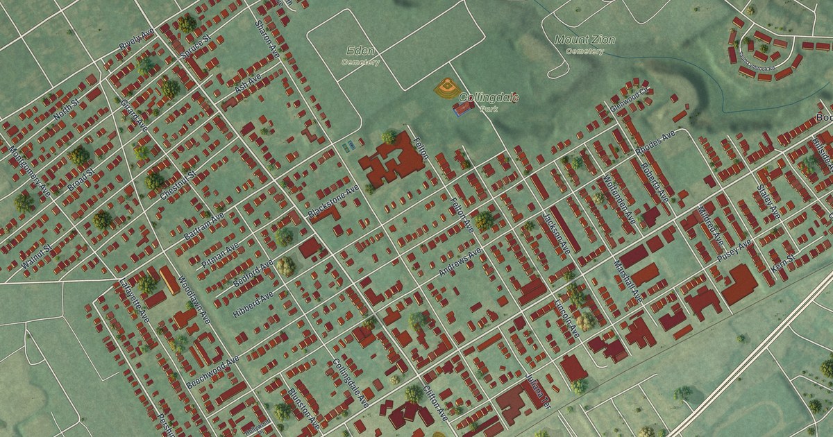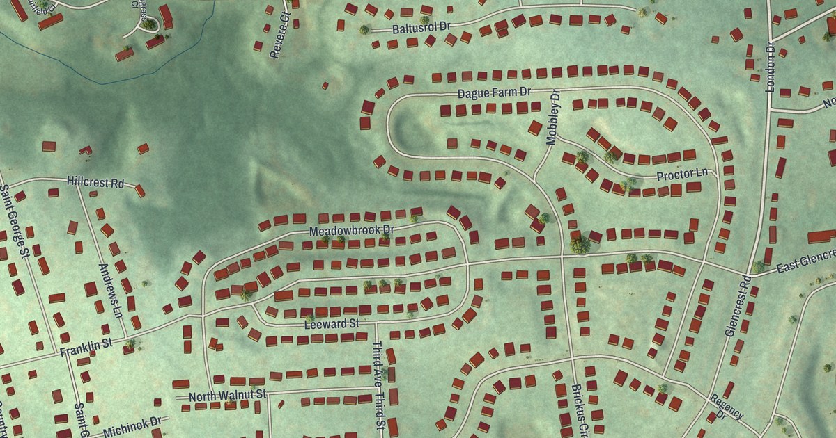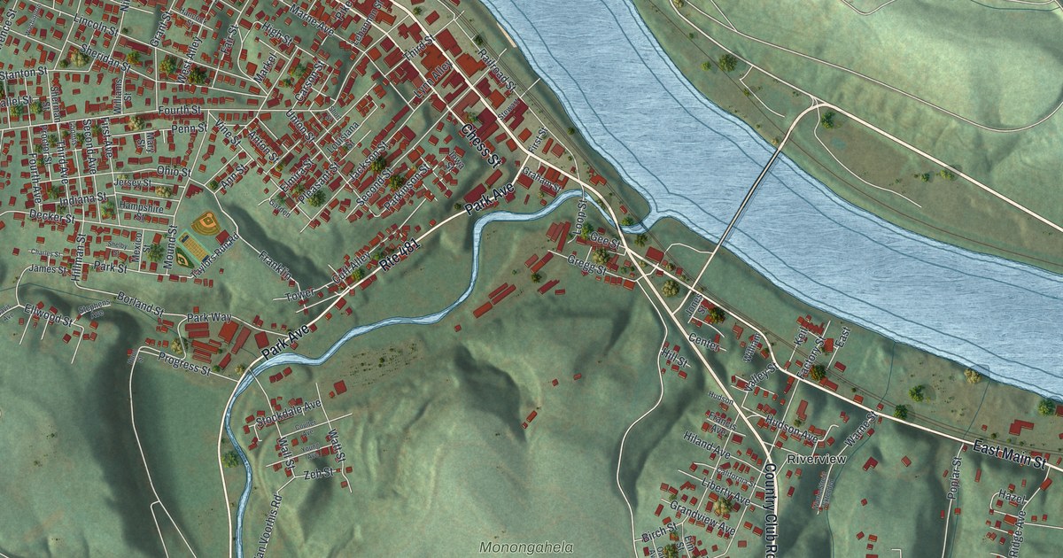
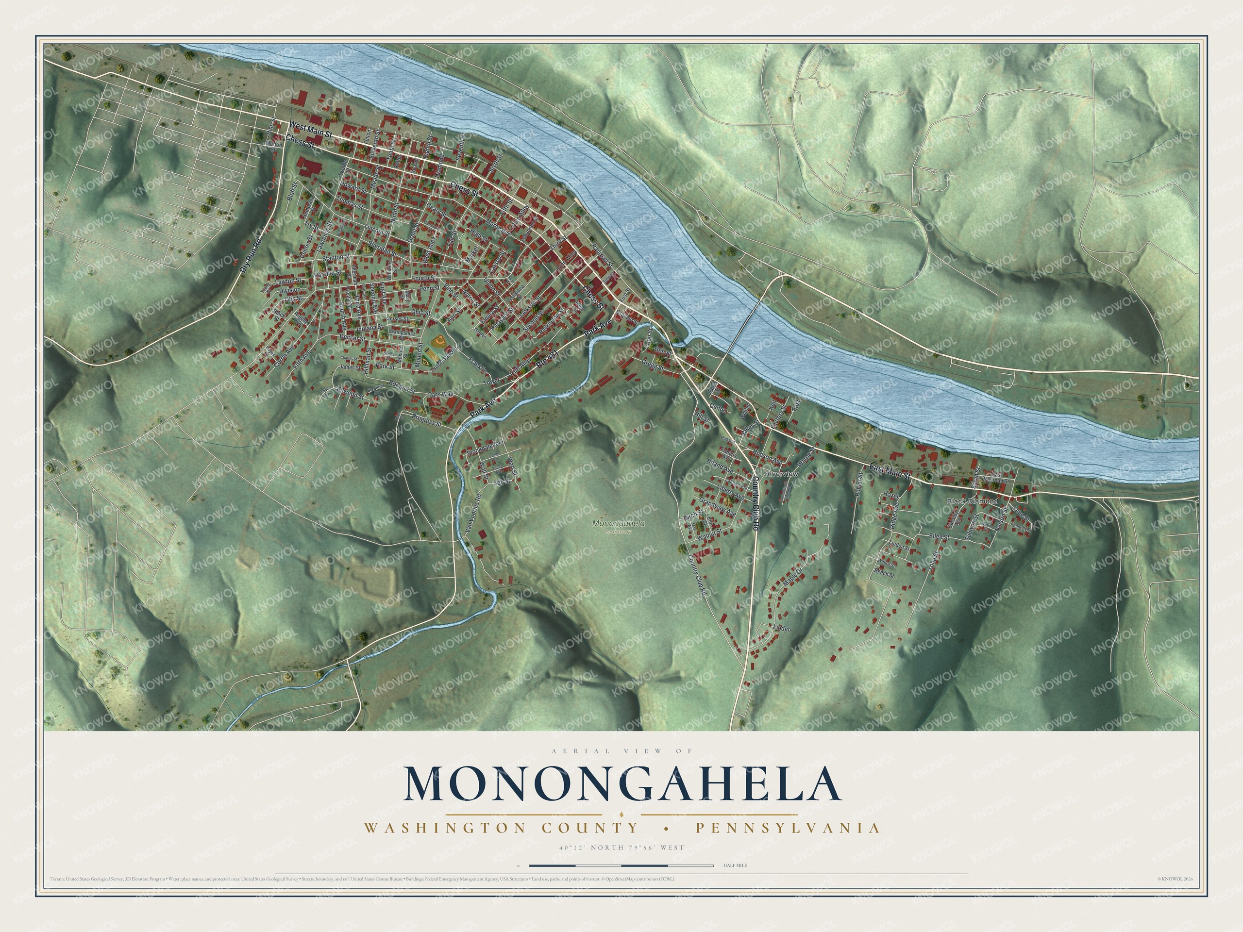
This beautifully detailed map of Monongahela, Washington County, Pennsylvania was created in 2026 using aerial imagery combined with modern topographical, census, street and landmark data. It’s a one-of-a-kind view of Monongahela that combines accurate data with a vintage aesthetic. The map shows every building in its true location, many of the roads carry their names, and the shaded topographic relief shows the shape of the land.
Explore an aerial view of Monongahela, Washington County, Pennsylvania
On the map you’ll find Monongahela Cemetery, Black Diamond, and Riverview, along with West Main Street, Country Club Road, East Main Street, Chess Street, Dry Run Road, Park Avenue, Ellwood Street, Hudson Avenue, Sixth Street, and more. If you look closely you can even find your house accurately drawn in its correct location. Zoom in on the preview to look for yours.
Did you know this piece of Monongahela, Washington County, Pennsylvania history?
Monongahela was founded in 1769 near the mouth of Pigeon Creek. It is the oldest settlement in its river valley. Joseph Parkison ran a ferry there and is honored as the city’s founder. The town was called Parkison’s Ferry in 1782, then Williamsport, and took the name Monongahela City in 1837.
Take a closer look at the Monongahela, Washington County map
Street and place names on the Monongahela, Washington County, Pennsylvania map
These names are printed on the map of Monongahela, Washington County, Pennsylvania.
Places: Monongahela Cemetery, Black Diamond and Riverview.
Streets and roads: West Main Street, Country Club Road, East Main Street, Chess Street, Dry Run Road, Park Avenue, Route 481, Ellwood Street, Hudson Avenue, Sixth Street, Stanton Street, Van Voorhis Road.
More street names, A to Z
Ann Street, Anton Street, Argone Avenue, Beaver, Beech Street, Birch Street, Black Street, Bluff Street, Borland Street, California Street, Carson Street, Cassidy Avenue, Center, Center Street, Charles Street, Corrin Avenue, Coulter Avenue, Cuff Alley, Davis Avenue, Decker Street, Diamond, Division, East, East Railroad Street, Eighth Street, Eleventh Street, Ellen Street, Elmira Street, Elm Street, Factory Street, Fair Street, Fifth Avenue, Fifth Street, First Avenue, First Street, Fourth Avenue, Fourth Street, Francis Avenue, Franklin, Fulton, Garden, Geary Street, Gee Street, Graham Street, Grandview Avenue, Grant Street, Gregg Street, Hampshire Street, Hancock Street, Hayes Street, Hazel, High Street, Hiland Avenue, Hillman Street, Hill Street, Hoon Street, Howard Street, Hudson, Indiana Street, Iowa Street, Jackson Street, James Street, Jersey Street, Jones Street, Keil, Kennedy Street, Lawrence Street, Lawton Street, Lebannon Street, Liberty Avenue, Lime Street, Lincoln Street, Linden, Linden Street, Loomis, Loop Street, Louisiana Street, Lynn Alley, Maple Drive, Markel, Marne Avenue, Mary Street, Meade Street, Mexico Street, Morton Street, Mound Street, Nelson Street, Nevin Street, Ninth Street, Oak Avenue, Ohio Street, Otis Street, Parallel Street, Parkinson Street, Park Street, Park Way, Penn Street, Pike Alley, Pine Street, Pleasant Street, Poplar Street, Potter, Proctor Street, Progress Street, Railroad Street, Ridge Avenue, Sampson Street, Sarah Street, Second Avenue, Second Street, Seventh Street, Shelby Street, Sheridan Street, Sherman Street, Short Street, Stephens Avenue, Stewart, Stockdale Avenue, Sullivan Street, Taylors Run Road, Tenth Street, Third Avenue, Third Street, Thomas Street, Tower, Try Street, Twelfth Street, Union Street, Valley Street, Vine Street, Wall Street, Walnut Street, Warne Street, Warne Street Extended, Washington, Watt Street, West Alley, William, Williams Street, Willow Street, Yohe Street, Young Avenue, Young Street, Zeh Street.
See the Monongahela, Washington County, Pennsylvania map on a wall
The Monongahela, Washington County map as an 18 x 24 inch print in a black frame.

This beautifully detailed map of Monongahela, Washington County makes an attractive addition to your office, library, or den, and it can even be used to teach children the geography and history of the area. It also makes a great gift for anyone with Monongahela roots. When you’re done exploring, click here to get your copy of the Monongahela, Washington County map.