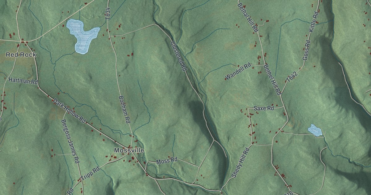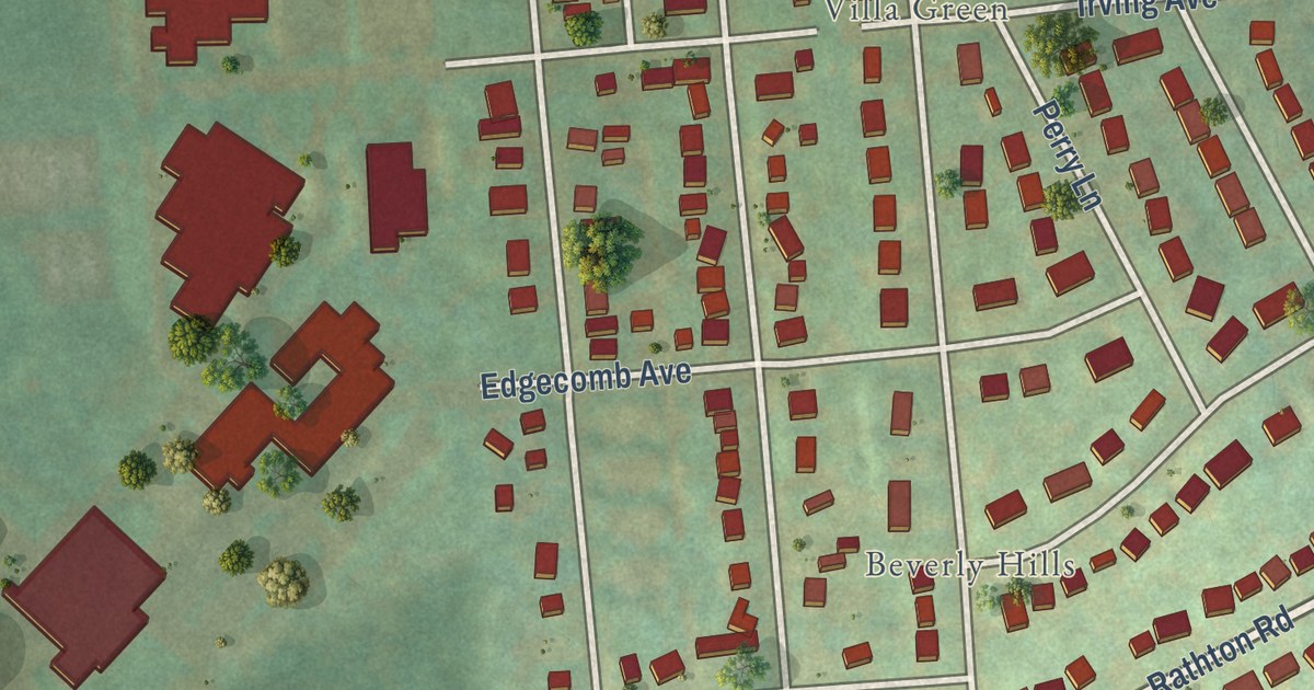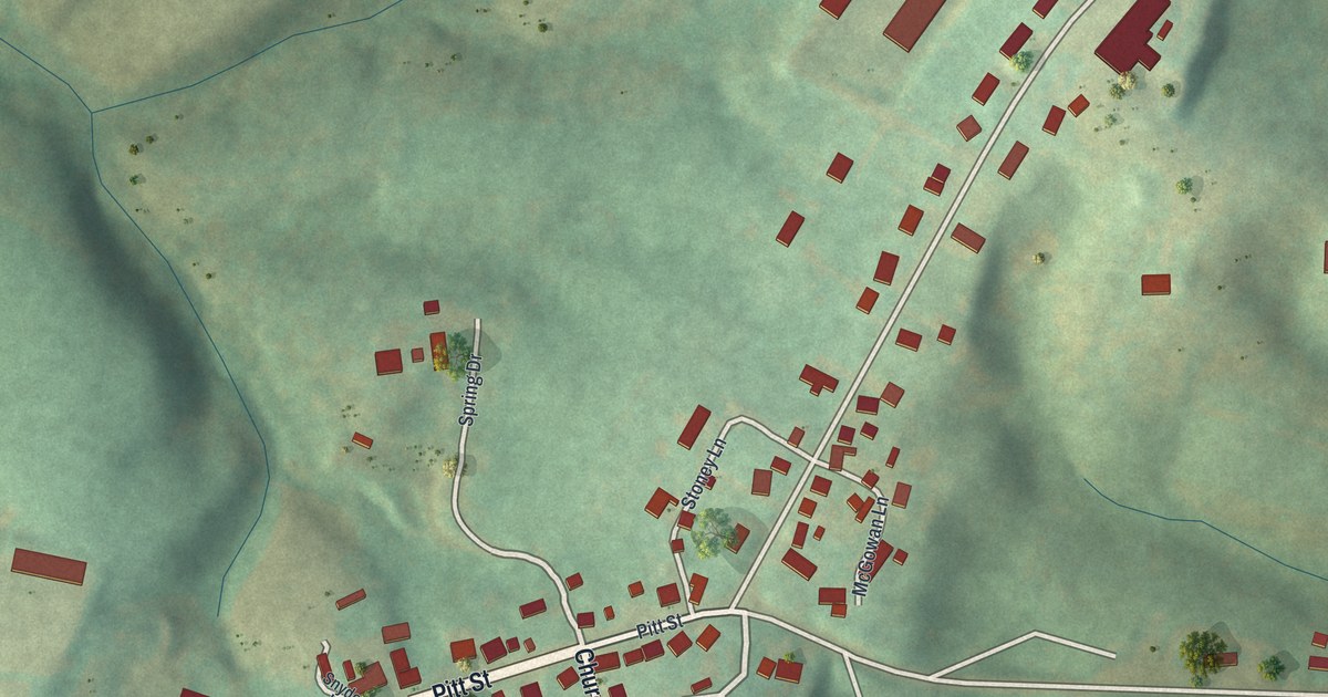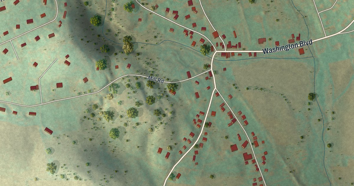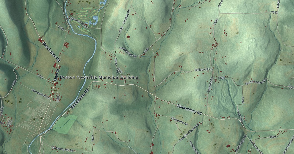
This beautifully detailed map of Benton Township, Columbia County, Pennsylvania was created in 2026 using aerial imagery combined with modern topographical, census, street and landmark data. It’s a one-of-a-kind view of Benton Township that combines accurate data with a vintage aesthetic. The map shows every building in its true location, many of the roads carry their names, and the shaded topographic relief shows the shape of the land.
Explore an aerial view of Benton Township, Columbia County, Pennsylvania
On the map you’ll find Benton Township Municipal Building, Maple Grove, and Waterville, along with Main Street, Maple Grove Road, Shickshinny Road, Beach Glen Road, Dotyville Road, Tubbs Hill Road, County Line Road, Sunny Hillside Road, and more. If you look closely you can even find your house accurately drawn in its correct location. Zoom in on the preview to look for yours.
Did you know this piece of Benton Township, Columbia County, Pennsylvania history?
Benton Township’s people first asked the court for their own township in 1845. The court turned that request down, then rejected another one in January 1850. They kept pressing, and that April the township was finally carved out of old Fishingcreek. It was named for Thomas H. Benton, a leader then at the height of his power and warmly admired by local voters. That’s from the 1887 History of Columbia and Montour Counties, Pennsylvania.
Take a closer look at the Benton Township, Columbia County map
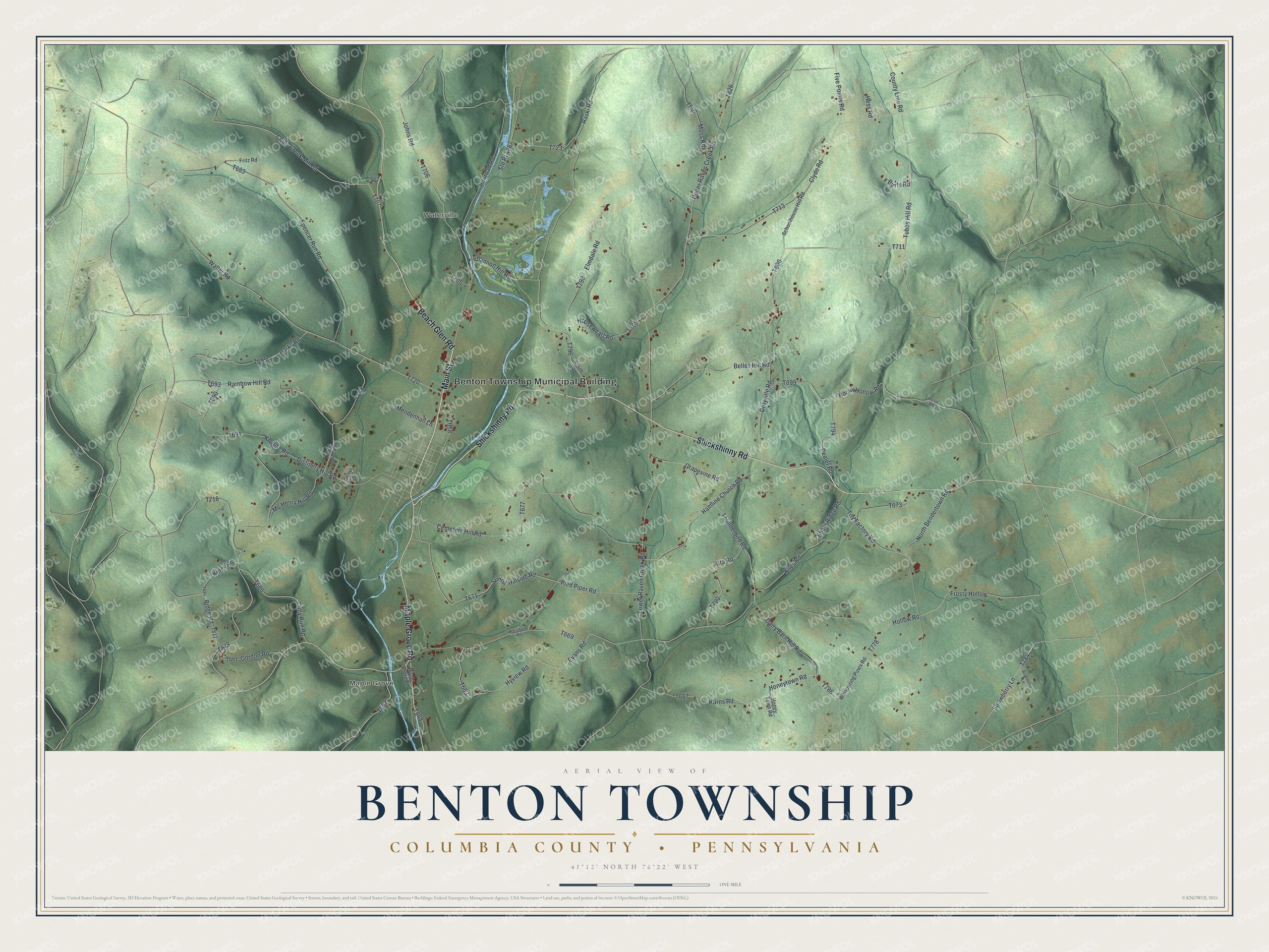
Street and place names on the Benton Township, Columbia County, Pennsylvania map
These names are printed on the map of Benton Township, Columbia County, Pennsylvania.
Places: Benton Township Municipal Building, Maple Grove and Waterville.
Streets and roads: Main Street, Maple Grove Road, Shickshinny Road, Beach Glen Road, Dotyville Road, Tubbs Hill Road, County Line Road, Sunny Hillside Road, Distillery Hill Road, Strawberry Lane, Hollow Road, Houseweart Road.
More street names, A to Z
Atta Road, Bailey Park Drive, Belles Hill Road, Blueberry Lane, Burts Road, Cemetery Hill Road, Clyde Road, Coles Creek Mill Road, Cully Run Road, Dairy Barn Hill Road, Elmdale Road, Evans Road, Five Points Road, Fritz Road, Frosty Hollow, Gordon Road, Grapevine Road, Hamline Church Road, Hess Road, Honeytown Road, Honey Town Road, Hyview Road, Johns Road, Karns Road, Kiles Road, Kings Road, Knouse Road, Lower Raven Creek Road, Mc Henry Hill Road, Mendenhall Lane, Moss Road, North Bendertown Road, Parks Road, Pealer Road, Pied Piper Road, Railroad Road, Rainbow Hill Road, Raski Road, Ridge Road, Rocky Hollow Road, Rosie Road, Schoolhouse Hill Road, Shale Ridge Road, Shannon Hill Road, Smith Road, Spencer Run Road, Ste Rt 4887, Thunderbird Road, Toy Factory Road, Upper Raven Creek Road, Waller Road, West Creek Road, Westover Road, Whispering Pines Road.
See the Benton Township, Columbia County, Pennsylvania map on a wall
The Benton Township, Columbia County map as an 18 x 24 inch print in a black frame.

This beautifully detailed map of Benton, Columbia County makes an attractive addition to your office, library, or den, and it can even be used to teach children the geography and history of the area. It also makes a great gift for someone who left Benton Township and still calls it home. When you’re done exploring, click here to get your copy of the Benton, Columbia County map.