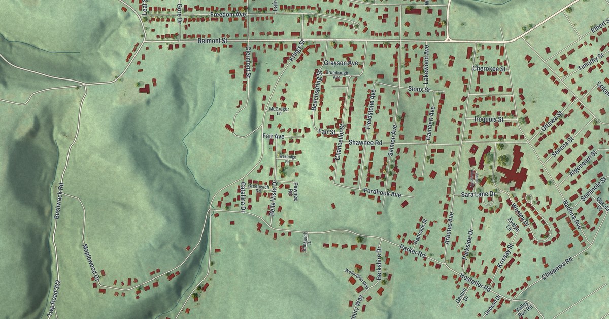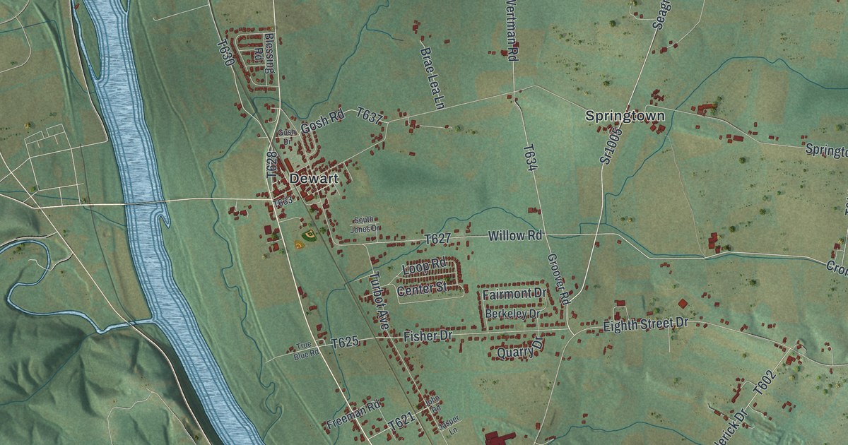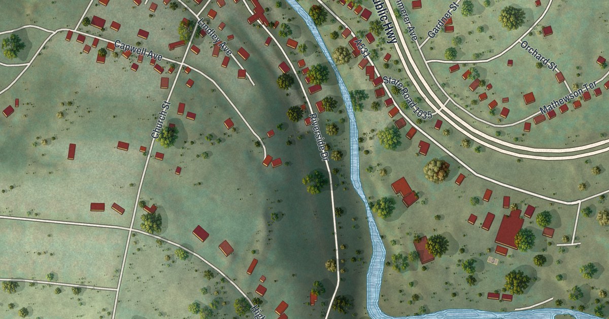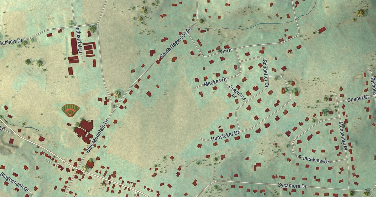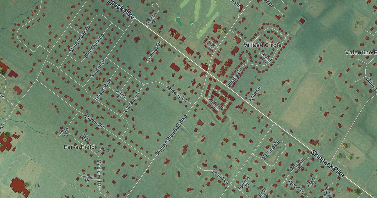
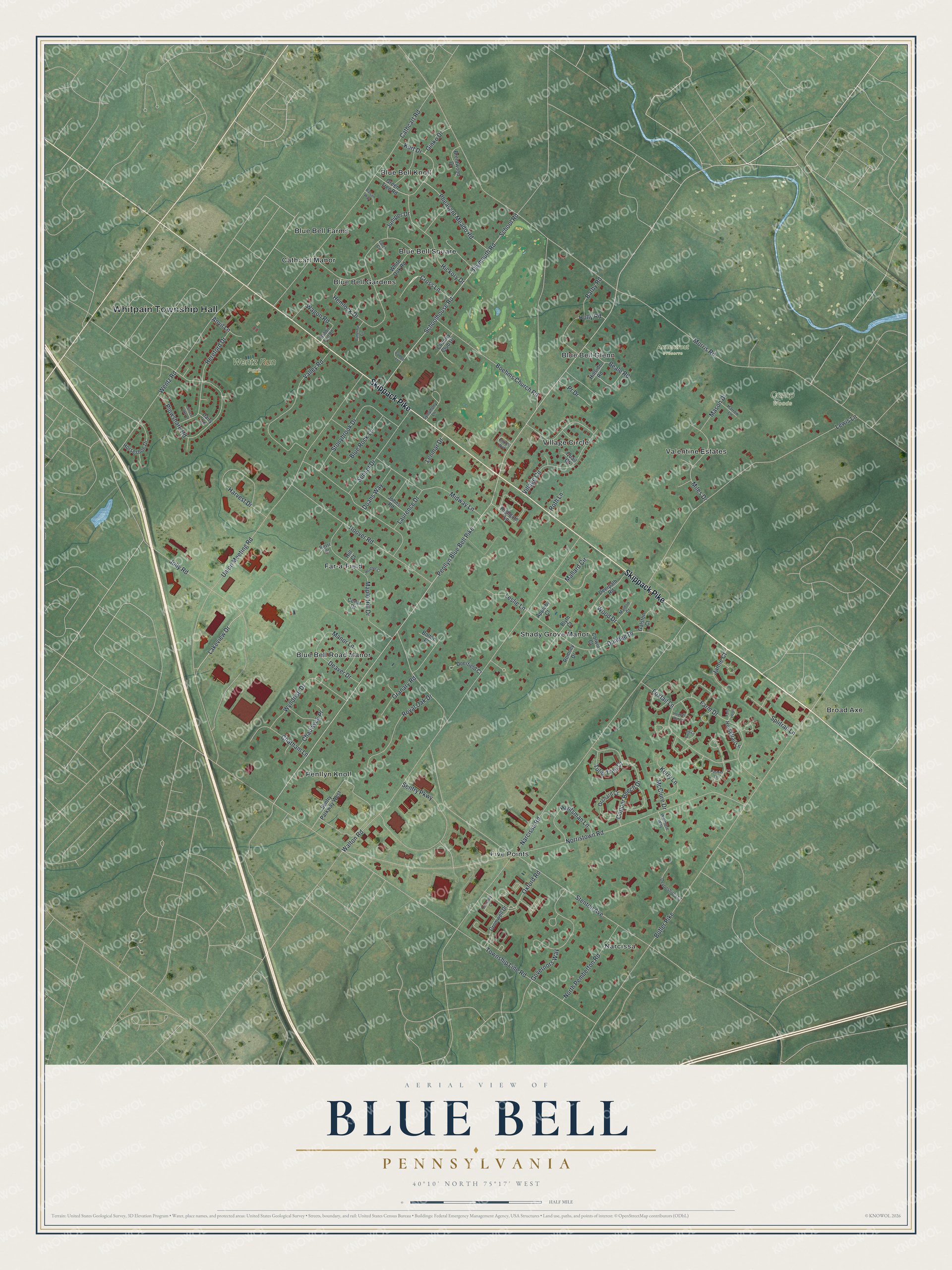
This beautifully detailed map of Blue Bell, Pennsylvania was created in 2026 using aerial imagery combined with modern topographical, census, street and landmark data. It's a modern aerial view of Blue Bell in Montgomery County, Pennsylvania, that combines modern data with a vintage aesthetic. The roads feature printed names, and if you look closely you can find your exact house accurately shown in its correct location.
Explore an aerial view of Blue Bell, Pennsylvania
On this map you'll find Whitpain Township Hall, Armentrout Preserve, Camp Woods, Wentz Run Park, Narcissa, Broad Axe, Blue Bell Road Manor, Blue Bell Knoll, Village Circle, Shady Grove Manor, Penllyn Knoll, Blue Bell Gardens, and more. Each red shape is a building, so zoom in on the preview and look for yours.
Blue Bell is a community in Montgomery County. The Census Bureau counted 6,506 people here in 2020. Blue Bell sits about 3 miles west of Ambler, 3 miles north of Plymouth Meeting and 3 miles southwest of Spring House. The map prints the town name in its title panel, with the coordinates below it.
Take a closer look at the Blue Bell map
Names on this map
These names are printed on this map.
Places: Whitpain Township Hall, Armentrout Preserve, Camp Woods, Wentz Run Park, Narcissa, Broad Axe, Blue Bell Road Manor, Blue Bell Knoll, Village Circle, Shady Grove Manor, Penllyn Knoll, Blue Bell Gardens, Far-a-Field, Valentine Estates, Five Points, Blue Bell Square, Blue Bell Glenn, Blue Bell Farms and Cathcart Manor.
Streets and roads: Skippack Pike, Penllyn Blue Bell Pike, Lakeview Drive, Morris Road, Township Line Road, Union Meeting Road, Stenton Avenue, Norristown Road, Walton Road, Plymouth Road, Narcissa Road, Butler Pike.
More street names, A to Z
Anvil Lane, Appleby Court, Balsam Way, Barby Road, Beale Road, Blue Rock Lane, Blyth Court, Boehms Church Road, Bolton Place, Brentwood Drive, Bugle Lane, Butternut Circle, Cathcart Road, Cedar Drive, Chadwyck Place, Chatham Lane, Cobble Lane, Colwin Court, Copper Beech Drive, Country Club Drive, Coventry Court, Cromwell Drive, Cross Lane, Dairy Lane, Deaver Drive, Deerfield Court, Deerpath Road, Devonshires Court, Doans Way, Dundee Drive, Farm Drive, Foxtail Lane, Galston Court, Ginko Drive, Governors Way, Granary Road, Green Tree Road, Harrow Lane, Harvest Drive, Heather Court, Hemlock Drive, Hereford Drive, Hickory Drive, Highgate Lane, Hill Court, Hillside Road, Holly Road, Hoover Road, Horseshoe Drive, Horsetrail Lane, Hounds Run Lane, Huntsman Lane, Jamie Court, Johns Road, Jolly Road, Juniper Drive, Kerry Lane, Kurt Drive, Larch Circle, Laurence Drive, Lenmar Drive, Leslie Lane, Lewis Lane, Maldon Court, Mallard Circle, Manor Lane, Maple Hill Drive, Mason Drive, McClure Drive, Midway Lane, Miles Drive, North Pemberton Road, Orchard Court, Oxford Road, Pastern Lane, Perri Place, Pheasant Meado Road, Phipps Way, Plowshare Road, Pr Drive, Quail Court, Rabbit Run Road, Romsey Drive, Roth Lane, Royal Oak Drive, Schoolhouse Road, School Road, Sentry Parkway, Sentry Parkway West, Silver Lake Lane, Splitrail Lane, Stonybrook Drive, Sunset Drive, Symphony Lane, Tally Ho Lane, Tulip Tree Court, Valley Road, Wagon Road, Walmere Way, Wentz Road, White Oak Road, Wood Drive, Wyndrise Drive.
See it on a wall
The Blue Bell map as a framed print. Swipe for more.


Created by KNOWOL in 2026. The buildings are small red shapes, the roads carry their printed names, and shaded relief shows the shape of the land. The title panel reads "AERIAL VIEW OF BLUE BELL, PENNSYLVANIA" with 40°10' NORTH 75°17' WEST.
It suits a den, a classroom or a front hall, and it makes a gift for anyone with Blue Bell roots. Open the preview and find the block you know. See sizes and frames for the Blue Bell map.