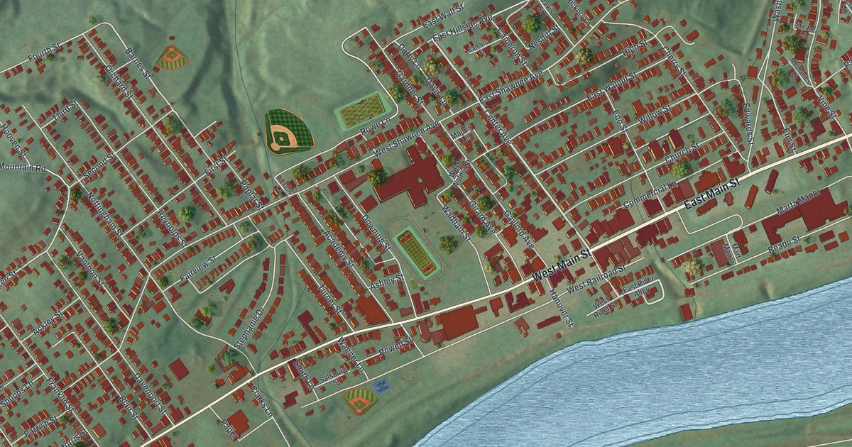
If you grew up in Plymouth, shopped on Main Street or still have family on the streets near Shawnee Cemetery, this map has the blocks you know. It's a modern aerial view of the Borough of Plymouth in Luzerne County, Pennsylvania, made from modern data and given a vintage look. Red buildings fill the valley floor between green hills and a wide blue river. West Main Street and East Main Street run through the middle on a long slant. Ball fields sit just above them near the center of town.
West Main Street, Shawnee Cemetery and Coal Street
Near Curry Hill and Shawnee Cemetery on the west side, Coal Street runs south past Shawnee to Flat Road, crossing Lee Street and Mill Street, with Franklin Street beside it. East of there, Center Avenue, Washington Avenue, Church Street, Willow Street, Cherry Street and Vine Street sit closer to the river, and East Shawnee Avenue and West Shawnee Avenue carry the cemetery's name. West Main Street and East Main Street tie it all together. Each red shape is a building, so zoom in on the preview and look for yours.
Abijah Smith's coal arks on the Susquehanna
In 1807, Abijah Smith bought 75 acres here on Ransom Creek. His brother John joined him later. That same year they began shipping coal down the Susquehanna River on arks. The shipments kept going for 20 years. In 1818 their company was the first to blast Pennsylvania coal loose with powder. The business stayed in the same family for almost 70 years. Its state historical marker says it was considered the first commercially successful anthracite firm in the United States. The marker stands on Main Street at the National Guard Armory. The map shows a wide blue river beside Plymouth, and the marker says their coal arks went down the Susquehanna.
Shawnee Flats and Shawnee Cemetery
A Pennsylvania historical marker southwest of Plymouth says Shawnee groups lived in this valley in the mid-1700s. They were removed from the lower Susquehanna and Delaware areas, then dispersed toward the upper Ohio country. On the map, Shawnee Cemetery, East Shawnee Avenue and West Shawnee Avenue still carry the name.
Plymouth from Curry Hill to East Main Street
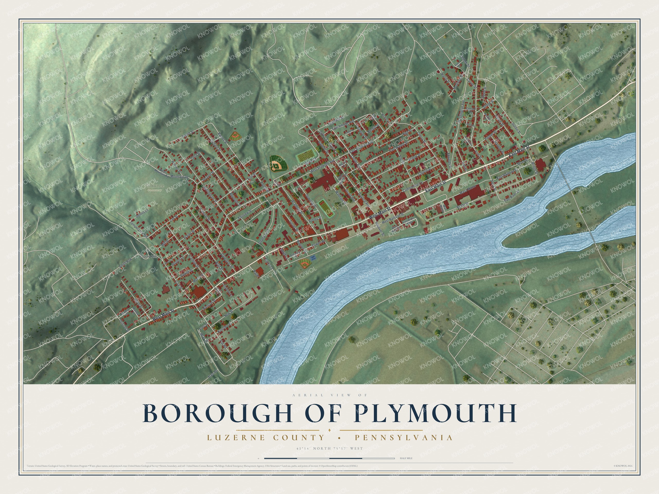
From Curry Hill, Coal Street runs south past Shawnee toward Flat Road at the bottom of the sheet, while Main Street carries on across the middle of town. Created by KNOWOL in 2026, this map of Plymouth shades the hills in green from USGS elevation data. The buildings are deep red, and the river is a soft blue. The title panel reads "Aerial View of Borough of Plymouth" above "Luzerne County • Pennsylvania," with the coordinates 41°14' North, 75°57' West and a half-mile scale bar.
It suits a living room, a kitchen or an office. It's a good gift for someone who grew up on the streets around Shawnee Cemetery, or for anyone who moved away from the Wyoming Valley. Open the preview, start on West Main Street and follow it to a corner you know. See sizes and frames for the Borough of Plymouth, Luzerne County map.