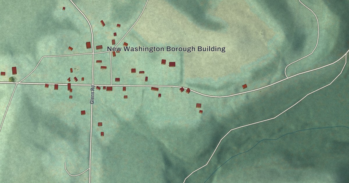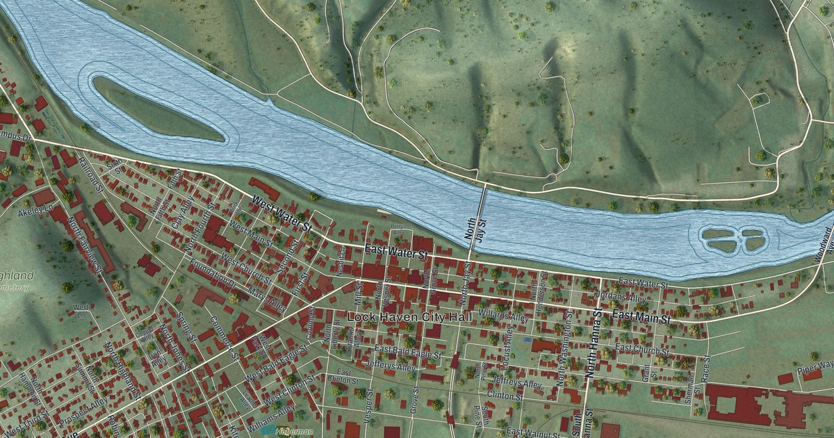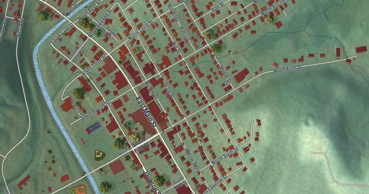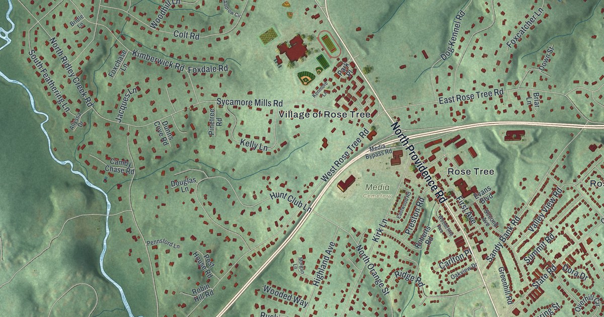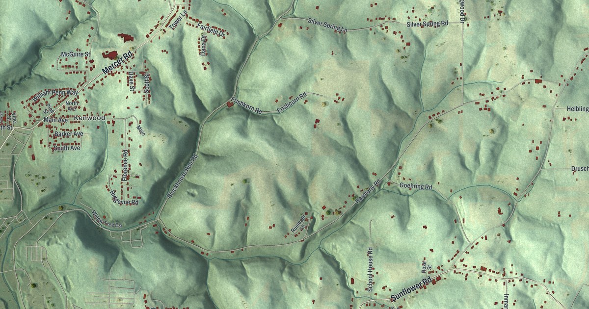
This beautifully detailed map of Daugherty, Pennsylvania was created in 2026 using aerial imagery combined with modern topographical, census, street and landmark data. It’s a one-of-a-kind view of Daugherty that combines accurate data with a vintage aesthetic. The map shows every building in its true location, many of the roads carry their names, and the shaded topographic relief shows the shape of the land.
Explore an aerial view of Daugherty, Pennsylvania
On the map you’ll find Kenwood, along with Sunflower Road, Mercer Road, Russell Drive, South Avenue, Blockhouse Run Road, Wises Grove Road, Harmony Road, Tulip Drive, Stuber Road, Dogwood Drive, Allendale Road, and more. If you look closely you can even find your house accurately drawn in its correct location. Zoom in on the preview to look for yours.
Did you know this piece of Daugherty, Pennsylvania history?
From Data.pa.gov: "At Shippingport was the world's first full-scale atomic power station devoted to civilian needs."
Take a closer look at the Daugherty map
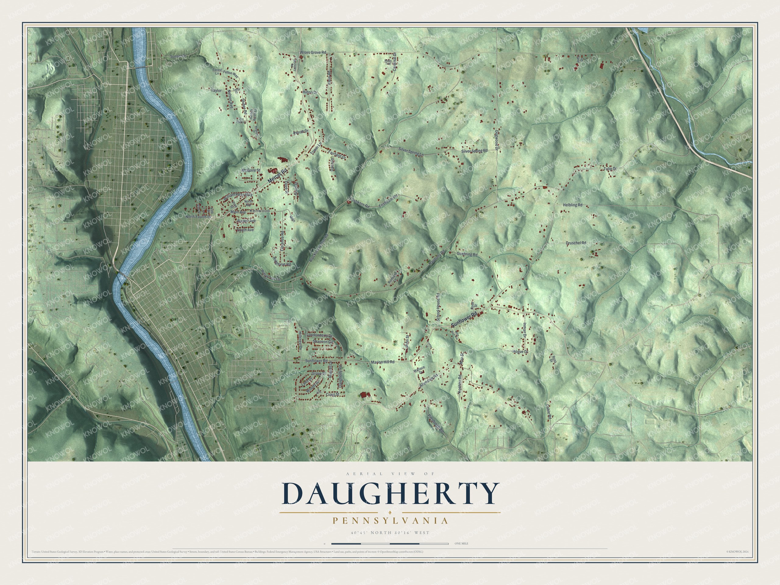
Street and place names on the Daugherty, Pennsylvania map
These names are printed on the map of Daugherty, Pennsylvania.
Places: Kenwood.
Streets and roads: Sunflower Road, Mercer Road, Russell Drive, South Avenue, Blockhouse Run Road, Wises Grove Road, Harmony Road, Tulip Drive, Stuber Road, Dogwood Drive, Allendale Road, Silver Spring Lane.
More street names, A to Z
Barker Avenue, Cable Road, Cardinal Drive, Craig Street, Dana Drive, Daugherty Road, Dave Street, Druschel Road, Elm Street, Fairfield Drive, Felton Way, Florence Road, Forest Lane, Frishcorn Road, Frishkorn Road, Goehring Road, Grove Street, Helbling Road, Hidden Acres Lane, Hillcrest Drive, Hilton Drive, Hogue Drive, Inman Drive, Jody Drive, John Street, Kenah Drive, Klein Road, Koehler Lane, Koehler Road, Londonderry Drive, Lynn Drive, Mae Street, Main, Main Avenue, Margarets Drive, Marion Hill Road, McCreary Road, McGuire Street, Nelson Avenue, North Avenue, North Fourth Street, Oak Street, Old Farm Lane, Pine Street, Pittsburgh Road, Rayz Street, Ridgevue Road, Robin Trail, Rose Street, Ross Drive, Rumbold Lane, School House Road, Scott Street, Shannon Circle, Silver Spring Road, Sunset Drive, Taylor, Taylor Drive, Tower Lane, Vine Street, Wallace Drive, White Birch Way, William Penn Way, Willow Tree Est, Woods Drive.
See the Daugherty, Pennsylvania map on a wall
The Daugherty map as an 18 x 24 inch print in a black frame.

This beautifully detailed map of Daugherty makes an attractive addition to your office, library, or den, and it can even be used to teach children the geography and history of the area. It also makes a great gift for anyone who grew up in Daugherty or moved away. When you’re done exploring, click here to get your copy of the Daugherty map.