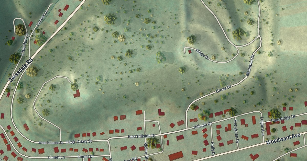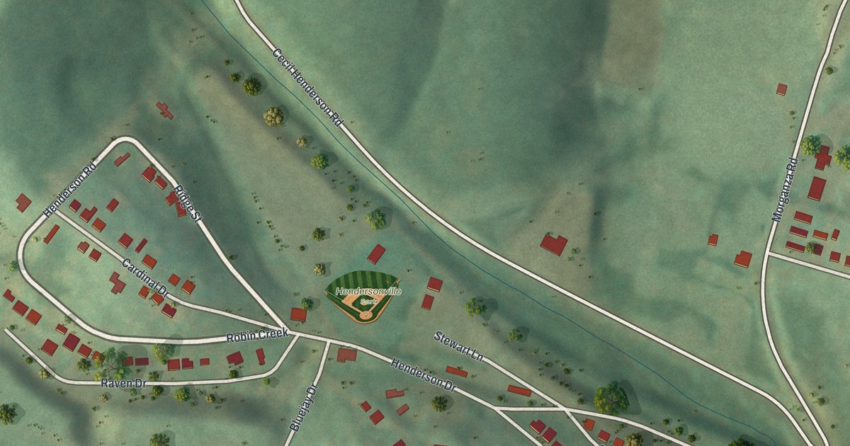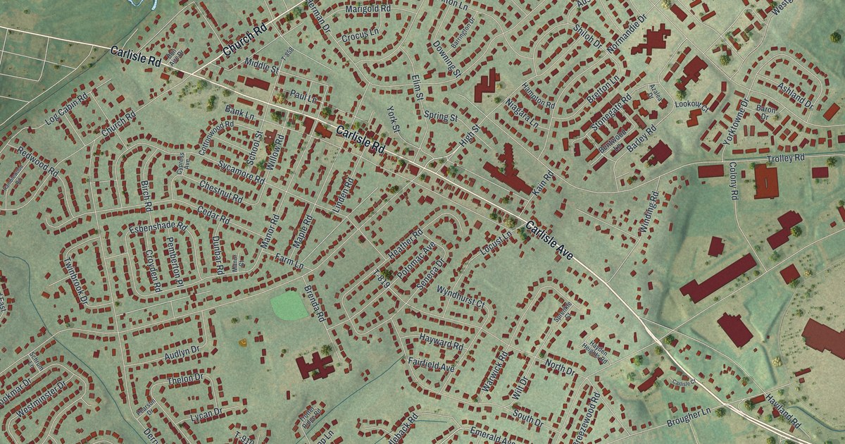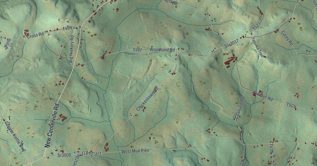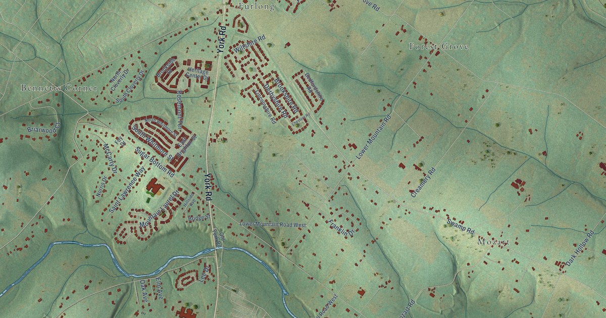
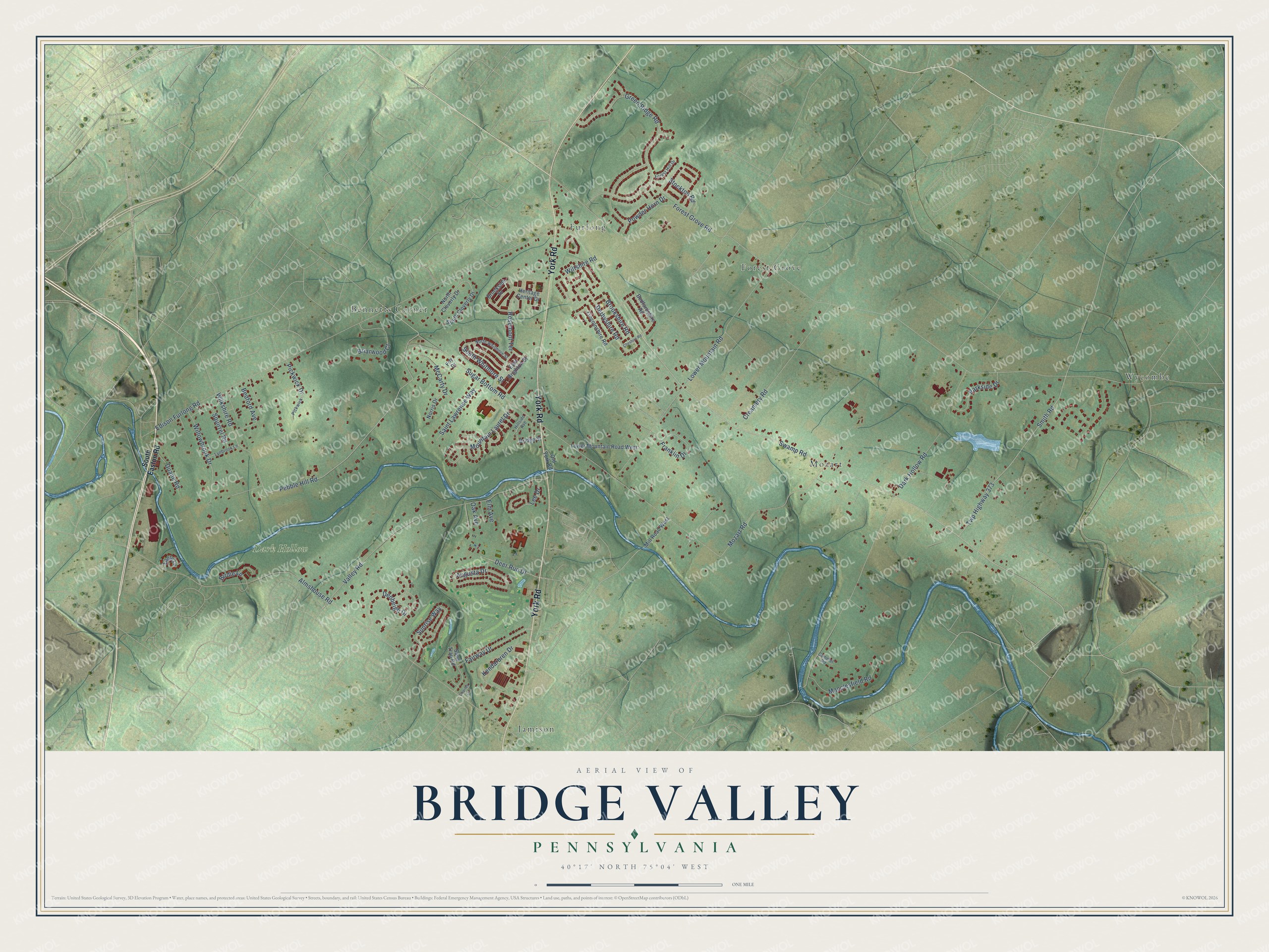
This beautifully detailed map of Bridge Valley, Pennsylvania was created in 2026 using aerial imagery combined with modern topographical, census, street and landmark data. It’s a one-of-a-kind view of Bridge Valley that combines accurate data with a vintage aesthetic. The map shows every building in its true location, many of the roads carry their names, and the shaded topographic relief shows the shape of the land.
Explore an aerial view of Bridge Valley, Pennsylvania
On the map you’ll find Dark Hollow, Wycombe, Furlong, Mozart, Bennetts Corner, Jamison, and Forest Grove, along with York Road, Swamp Road, Pebble Hill Road, Fairway Drive, Deer Run Drive, and more. If you look closely you can even find your house accurately drawn in its correct location. Zoom in on the preview to look for yours.
Did You Know?
From Internet Archive: "The township has two post-oflSces, that at Hartsville, established in 1817, and Joseph Carr appointed postmaster, and at Bridge Valley, in 1869, with William Harvey the first postmaster."
Bridge Valley is a community in Bucks County.
Take a closer look at the Bridge Valley map
Names on this map
These names are printed on this map.
Places: Dark Hollow, Wycombe, Furlong, Mozart, Bennetts Corner, Jamison and Forest Grove.
Streets and roads: York Road, Swamp Road, Pebble Hill Road, Fairway Drive, Deer Run Drive, Forest Grove Road, Sugar Bottom Road, Dark Hollow Road, Lower Mountain Road, Valley Road, Green Ridge Road, Smith Road.
More street names, A to Z
Almshouse Road, Augusta Drive, Bedford Avenue, Bedfordshire Road, Birdie Lane, Briarwood Court, Bridge Street, Brookshire Road, Brookside Drive, Camelot Road, Charles Lane, Cheshire Road, Creamery Road, Denbeigh Drive, Derbyshire Road, Duane Road, Eagle Lane, East Brighton Street, Edison Furlong Road, Elm Avenue, Forest Hill Drive, Foy Drive, Franklin Drive, Heritage Center Drive, Hillside Avenue, Kendarbren Drive, Lee Drive, Lincolnshire Road, Lower Mountain Road West, Lynbrook Lane, Macclesfield Road, McCarty Drive, Mill Road West, Mountain Laurel Drive, Mozart Road, Norris Drive, North Cloverly Drive, North Whitmore Street, Oak Avenue, Old York Road, Parkside Drive, Pickwick, Pickwick Drive, Powder Horn Drive, Rosemont Terrace, Saint Lawrence Way, Sand Trap Road, South Cloverly Drive, South Easton Road, South Whitmore Street, Squirrel Road, Stockton Road, Sunrise Way, Twp Highway 373, Wilkshire Road, Willowbrook Drive, Wiltshire Road.
See it on a wall
The Bridge Valley map as a framed print. Swipe for more.


This beautifully detailed map of Bridge Valley makes an attractive addition to your office, library, or den, and it can even be used to teach children the geography and history of the area. It also makes a great gift for anyone who grew up in Bridge Valley or moved away. When you’re done exploring, click here to get your copy of the Bridge Valley map.