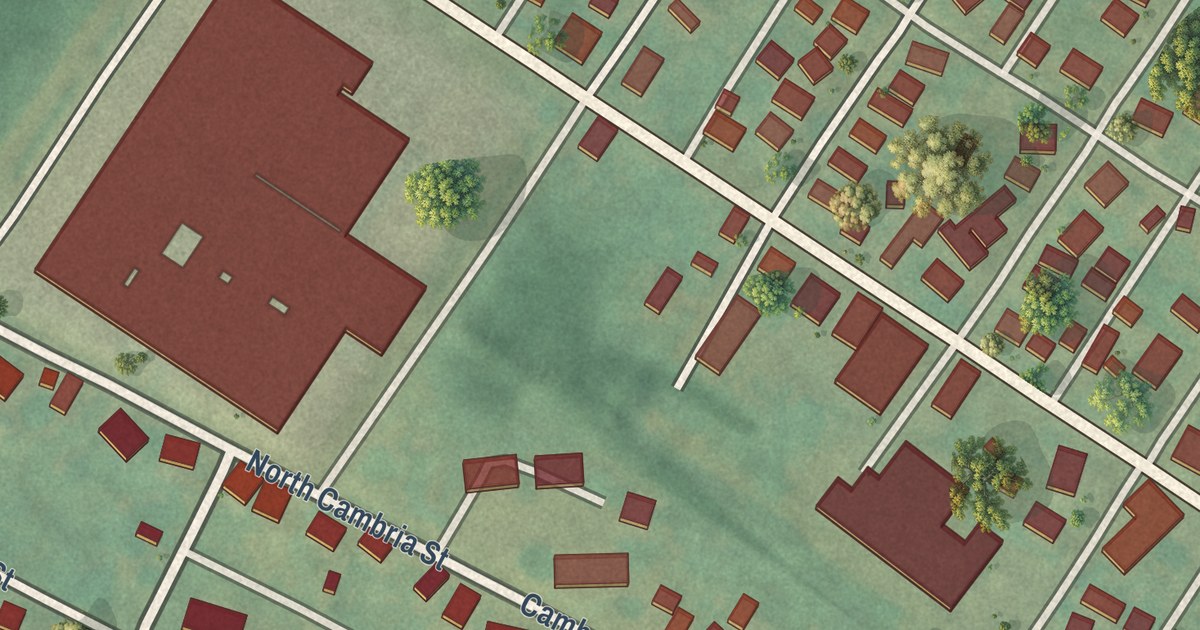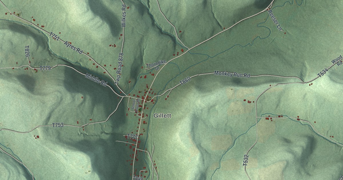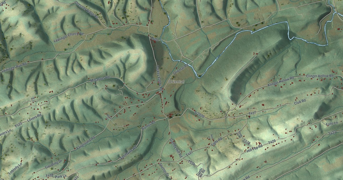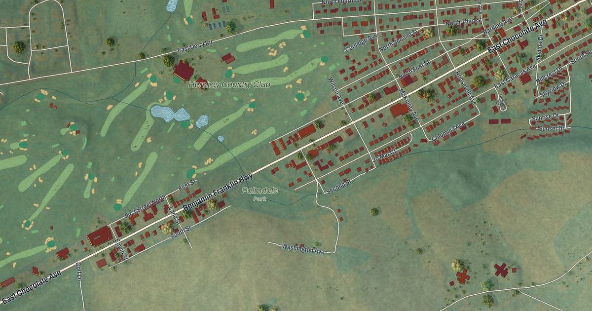
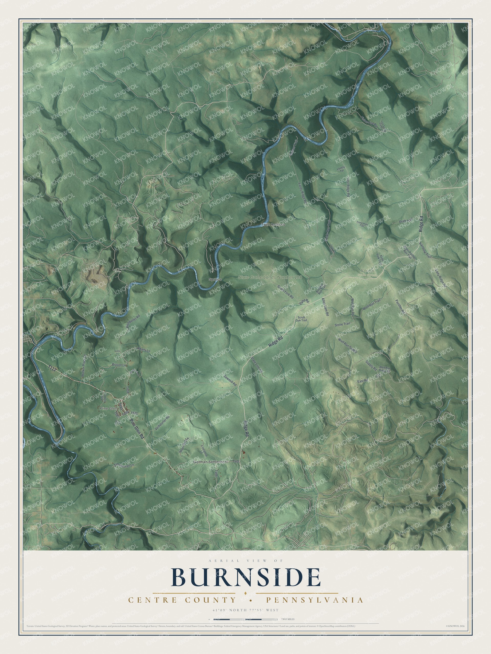
This beautifully detailed map of Burnside, Centre County, Pennsylvania was created in 2026 using aerial imagery combined with modern topographical, census, street and landmark data. It’s a one-of-a-kind view of Burnside that combines accurate data with a vintage aesthetic. The map shows every building in its true location, many of the roads carry their names, and the shaded topographic relief shows the shape of the land.
Explore an aerial view of Burnside, Centre County, Pennsylvania
On the map you’ll find Pine Glen, Sproul State Forest, State Game Lands Number 100, German Settlement, Spruce, and Twin Hollows, along with Ridge Road, Pine Glen Road, Fields Run Trail, State Line Road, and more. If you look closely you can even find your house accurately drawn in its correct location. Zoom in on the preview to look for yours.
Did you know this piece of Burnside, Centre County, Pennsylvania history?
From the History of Centre and Clinton Counties: "In 1849, William Stewart came to Burnside and built what is said to have been the first steam saw-mill in Centre County."
Take a closer look at the Burnside, Centre County map
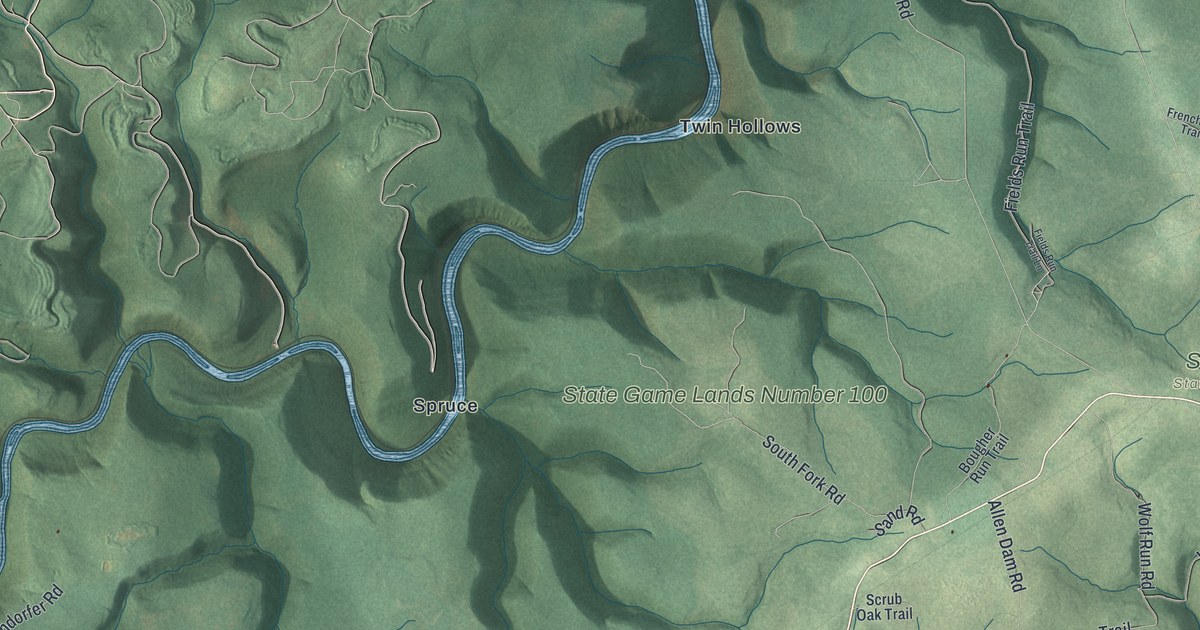
Street and place names on the Burnside, Centre County, Pennsylvania map
These names are printed on the map of Burnside, Centre County, Pennsylvania.
Places: Pine Glen, Sproul State Forest, State Game Lands Number 100, German Settlement, Spruce and Twin Hollows.
Streets and roads: Ridge Road, Pine Glen Road, Fields Run Trail, State Line Road, Supply Road, Yost Ridge Road, Fields Ridge Road, Viehdorfer Road, Eddy Ridge Road, Panther Road, Allen Dam Road, Short Dog Lane.
More street names, A to Z
Albany Lane, Bougher Run Trail, Bryson Lane, Carlin Lane, Draft Trail, East Road, Fields Run Trail Lane, Fisher Fire Road, Frenchman Trail, Fye Lane, Gaines Trail, Kyler Fork Trail, Livergood Lane, Lonely Terrace, Lost Spring Camp Lane, Rainbow Trail, Red Lick Lane, Reservoir Lane, Sand Road, Sawmill Road, Scrub Oak Trail, South Fork Road, Stone Trail, Upper Panther Run Trail, Veihdorfer Road, Walker Place Lane, Wolf Run, Wolf Run Ridge Road, Wolf Run Road, Wolf Run Supply, Wolf Run Trail, Zimmerman Lane.
See the Burnside, Centre County, Pennsylvania map on a wall
The Burnside, Centre County map as an 18 x 24 inch print in a black frame.

This beautifully detailed map of Burnside, Centre County makes an attractive addition to your office, library, or den, and it can even be used to teach children the geography and history of the area. It also makes a great gift for anyone with Burnside roots. When you’re done exploring, click here to get your copy of the Burnside, Centre County map.