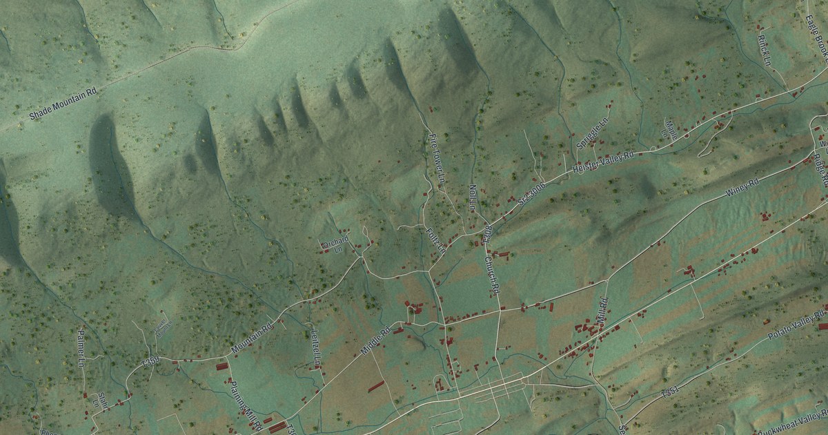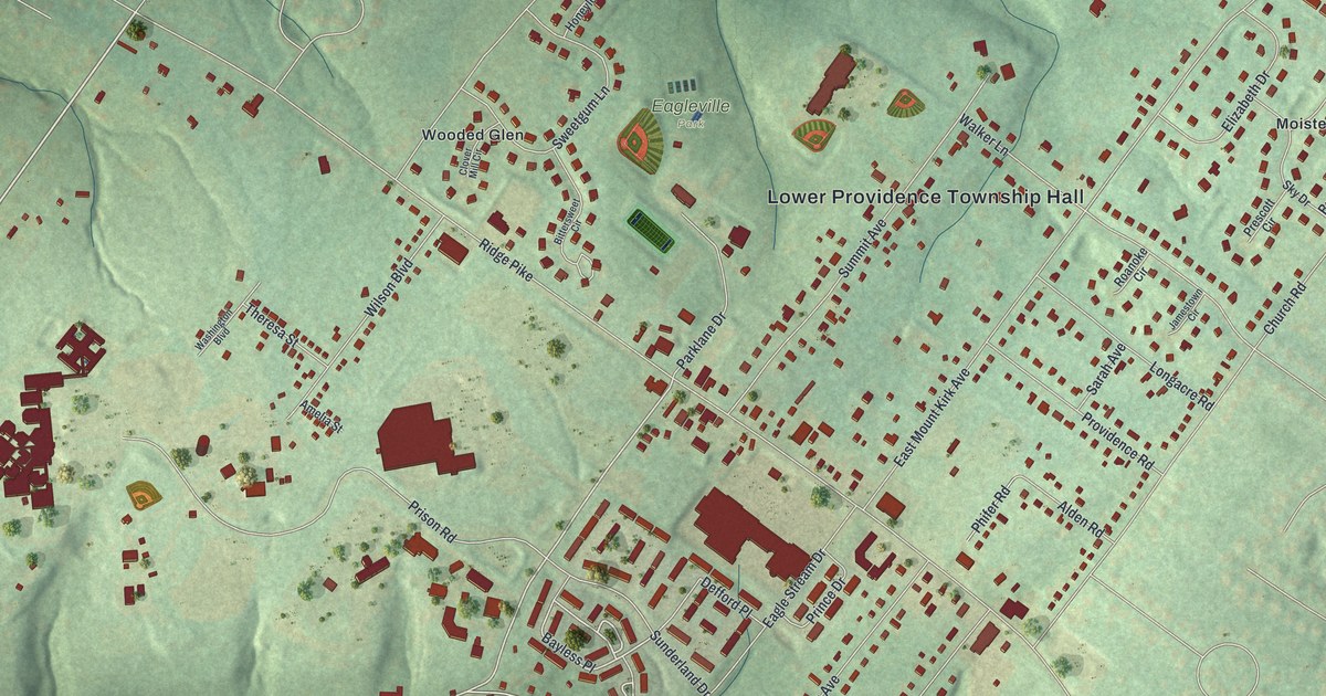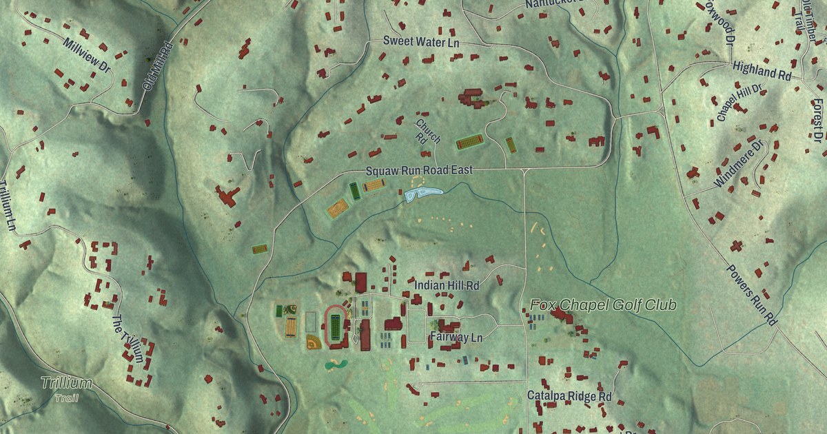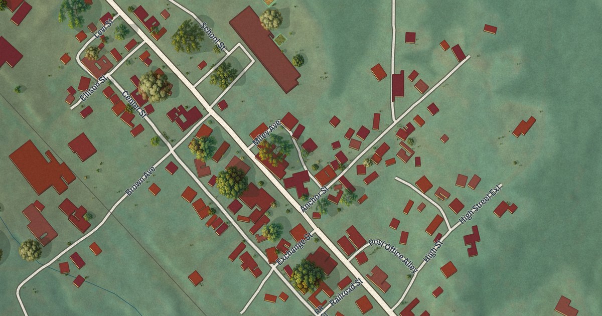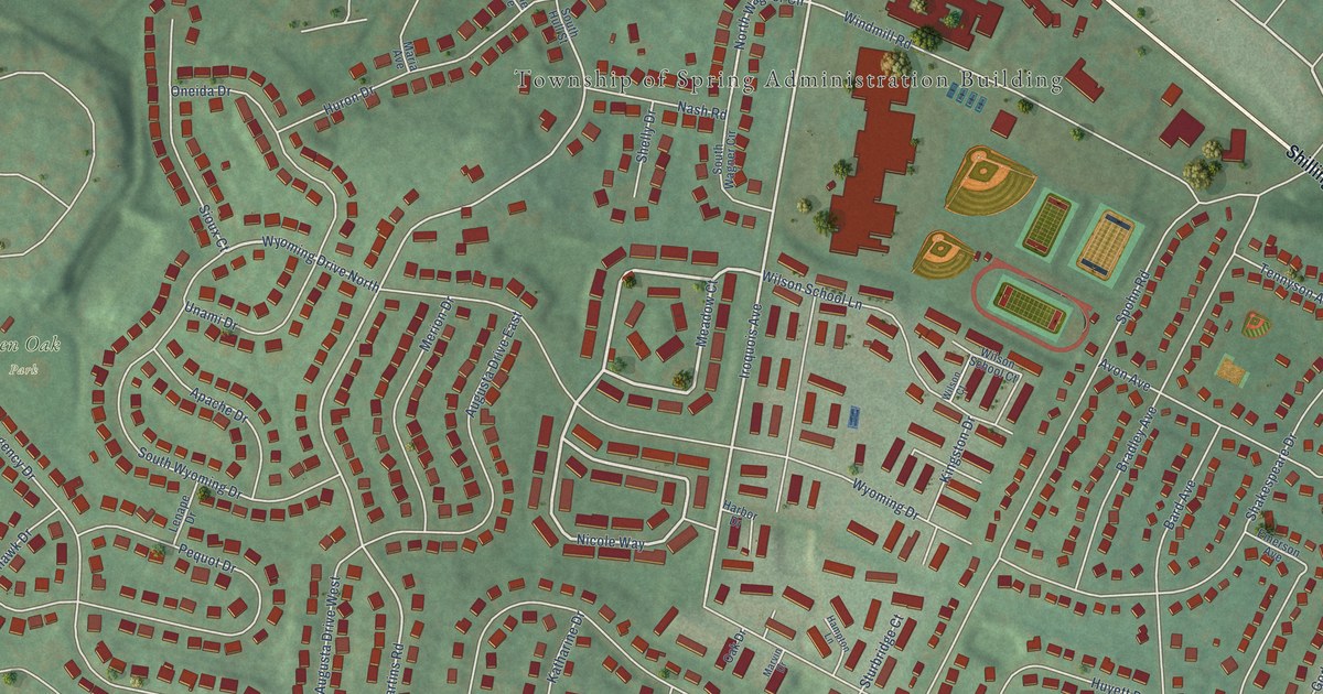
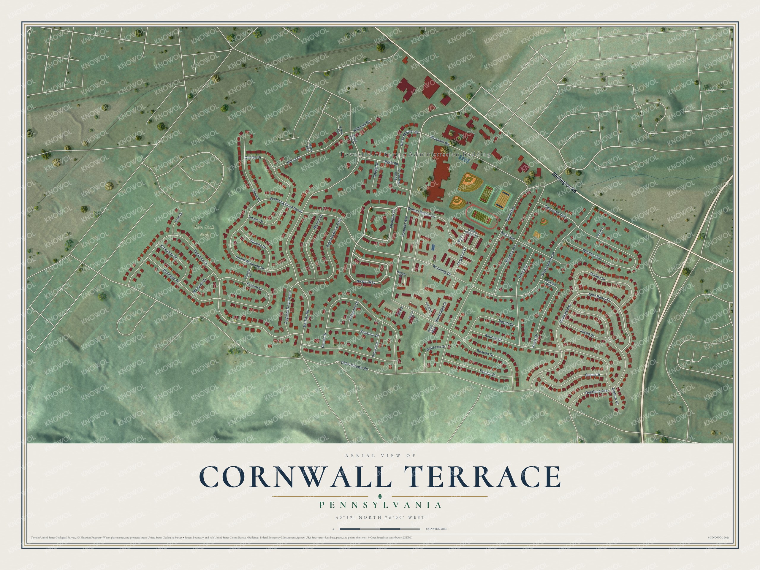
This beautifully detailed map of Cornwall Terrace, Pennsylvania was created in 2026 using aerial imagery combined with modern topographical, census, street and landmark data. It’s a one-of-a-kind view of Cornwall Terrace that combines accurate data with a vintage aesthetic. The map shows every building in its true location, many of the roads carry their names, and the shaded topographic relief shows the shape of the land.
Explore an aerial view of Cornwall Terrace, Pennsylvania
On the map you’ll find Township of Spring Administration Building and Len Oak Park, along with Shillington Road, Meadow Court, Nicole Way, Overland Avenue, John Henry Drive, Iroquois Avenue, North Wagner Circle, Martins Road, Regency Drive, Spohn Road, and more. If you look closely you can even find your house accurately drawn in its correct location. Zoom in on the preview to look for yours.
Take a closer look at the Cornwall Terrace map
Names on this map
These names are printed on this map.
Places: Township of Spring Administration Building and Len Oak Park.
Streets and roads: Shillington Road, Meadow Court, Nicole Way, Overland Avenue, John Henry Drive, Iroquois Avenue, Wyoming Drive North, North Wagner Circle, Martins Road, Regency Drive, Spohn Road, Wyoming Drive.
More street names, A to Z
Andrew Court, Andrew Drive, Apache Drive, Augusta Drive East, Augusta Drive West, Avon Avenue, Bard Avenue, Beacon Drive, Bradley Avenue, Daniel Drive, Deborah Drive, Diane Avenue, Emerson Avenue, Erie Drive, Goddard Avenue, Hampton Lane, Harbor Drive, Hillpoint Circle, Huron Drive, Huyett Drive, Jacob Drive, Joshua Drive, Katharine Drive, Keats Drive, Kickapoo Drive, Kingston Drive, Knoll Way, Lenape Drive, Maria Avenue, Marvin Drive, Merion Drive, Mohawk Drive, Mohegan Drive, Nash Road, Oak Drive, Old Fritztown Road, Oneida Drive, Pequot Drive, Rebecca Drive, Shakespeare Drive, Shelly Drive, Simon Drive, Sioux Court, South Hull Street, South Wagner Circle, South Wyoming Drive, Stratford Circle, Sturbridge Court, Susanna Drive, Temple Drive, Tennyson Avenue, Unami Drive, Whittier Avenue, Wilson Court, Wilson School Court, Wilson School Lane, Windmill Road.
See it on a wall
The Cornwall Terrace map as a framed print. Swipe for more.


This beautifully detailed map of Cornwall Terrace makes an attractive addition to your office, library, or den, and it can even be used to teach children the geography and history of the area. It also makes a great gift for anyone who grew up in Cornwall Terrace or moved away. When you’re done exploring, click here to get your copy of the Cornwall Terrace map.