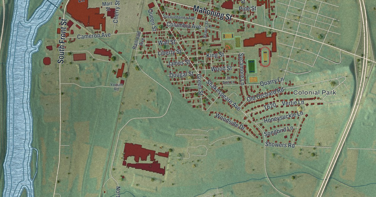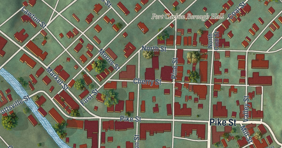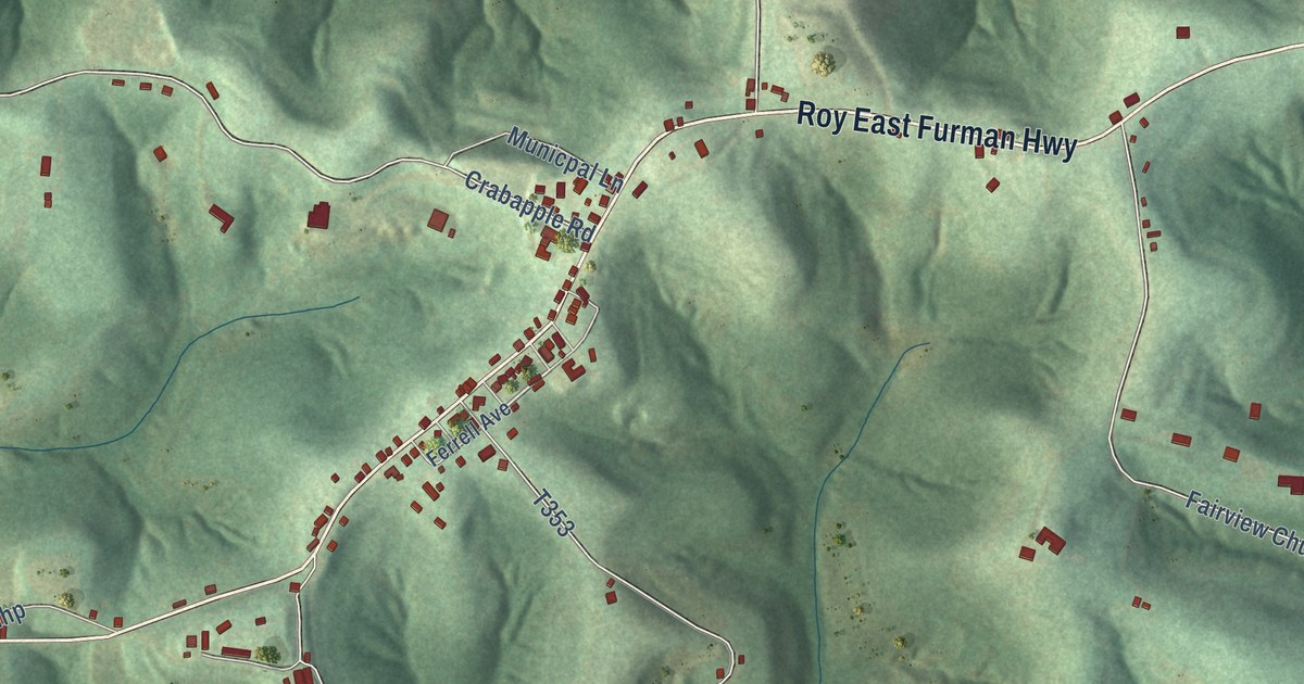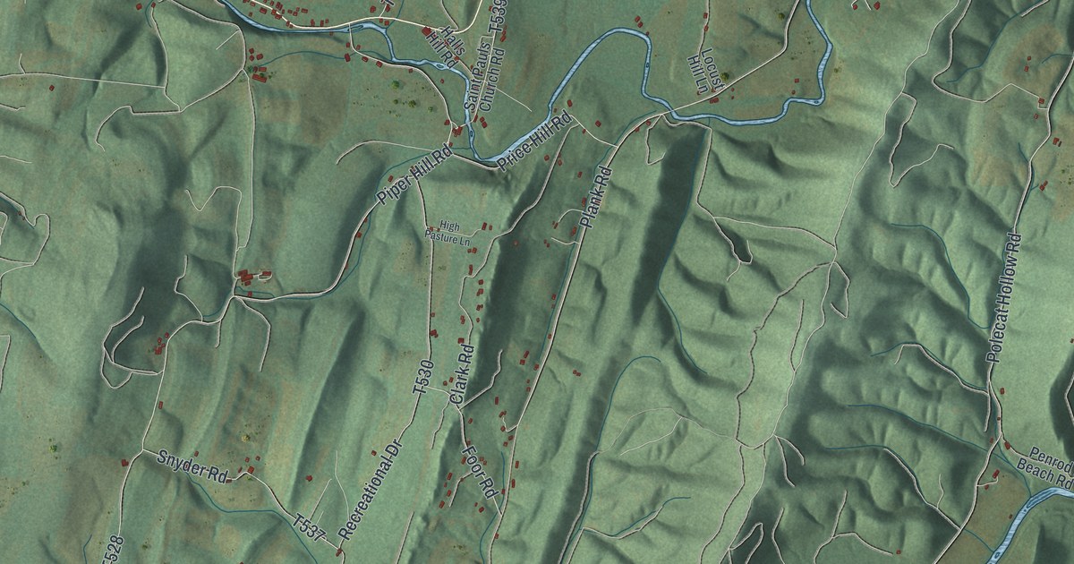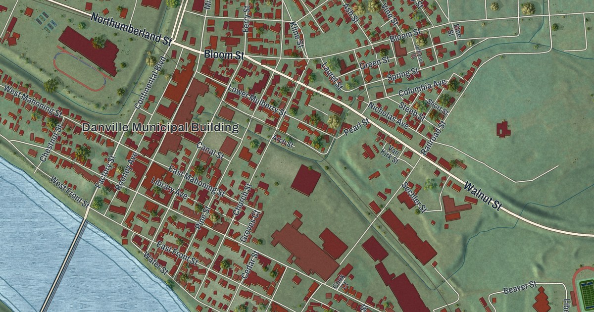
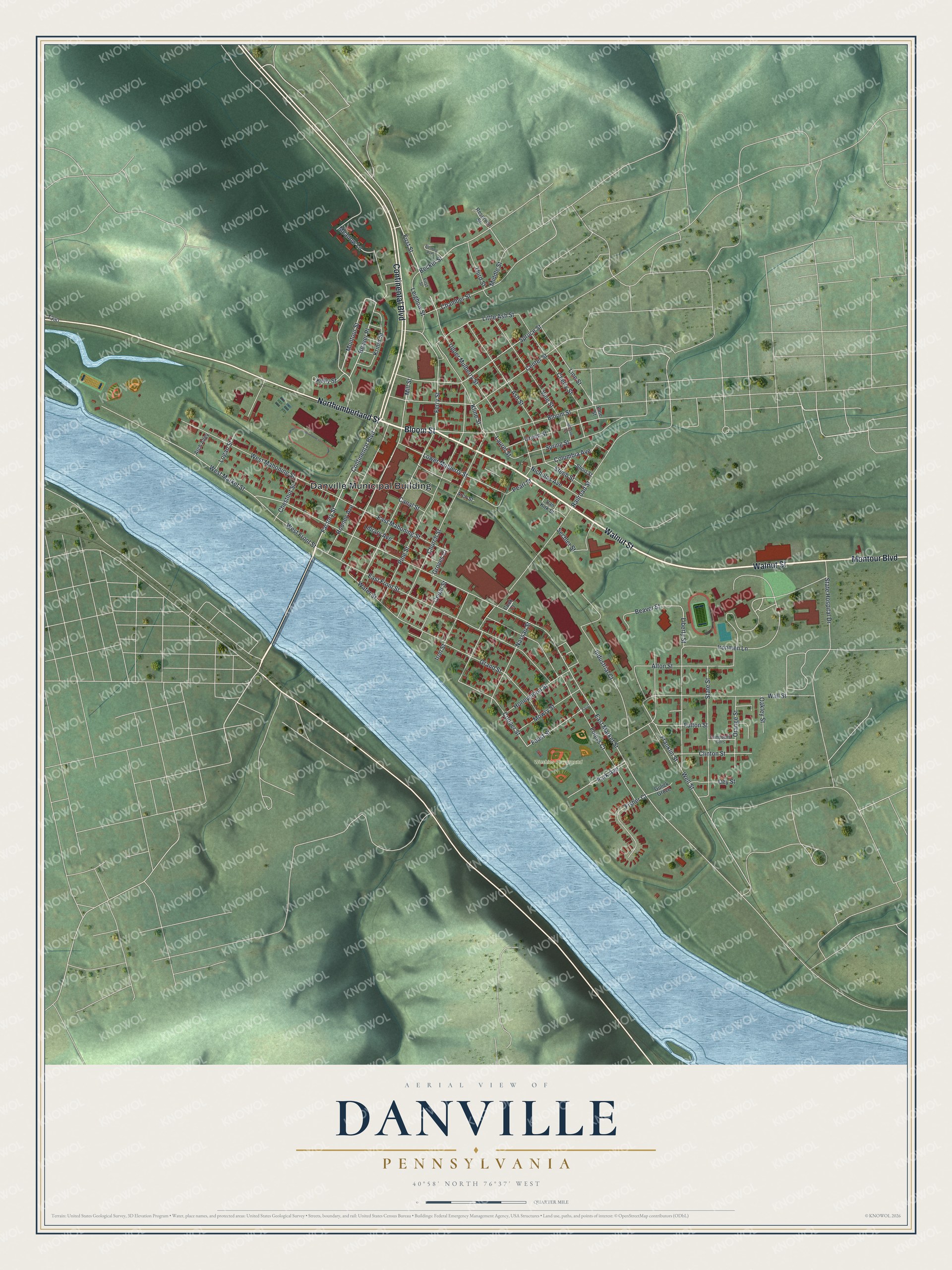
This beautifully detailed map of Danville, Pennsylvania was created in 2026 using aerial imagery combined with modern topographical, census, street and landmark data. It’s a one-of-a-kind view of Danville that combines accurate data with a vintage aesthetic. The map shows every building in its true location, many of the roads carry their names, and the shaded topographic relief shows the shape of the land.
Explore an aerial view of Danville, Pennsylvania
On the map you’ll find Danville Municipal Building, Washies Playground, and Beaver Place, along with Bloom Street, Walnut Street, Northumberland Street, Continental Boulevard, Montour Boulevard, Factory Street, First Street, Montour Street, Mill Street, and more. If you look closely you can even find your house accurately drawn in its correct location. Zoom in on the preview to look for yours.
Did you know this piece of Danville, Pennsylvania history?
From the Pennsylvania Historical and Museum Commission: "The first rolling mill built to make the iron T railroad rails was nearby. T rails were first rolled Oct. 8, 1845. The first 30 foot rails made on order in the U.S. were rolled here in 1859 for the Sunbury and Erie Railroad."
Take a closer look at the Danville map
Street and place names on the Danville, Pennsylvania map
These names are printed on the map of Danville, Pennsylvania.
Places: Danville Municipal Building and Washies Playground.
Streets and roads: Bloom Street, Walnut Street, Northumberland Street, Continental Boulevard, Montour Boulevard, Factory Street, First Street, Beaver Place, Montour Street, Mill Street, Meadow Lane, Spruce Street.
More street names, A to Z
Alton Street, Arch Alley, Arch Street, Ash Street, Beaver Street, Becker Street, Campbells Cors, Canal Street, Cedar Street, Center Street, Chamber Street, Cherry Street, Chestnut Street, Church Street, Clinton Street, Columbia Avenue, Cook Court, Cooper Street, Dey Street, East Front Street, East Mahoning Street, East Market Street, Elne Street, Faust, Ferry Street, Fisher Court, Fleming Avenue, Foleys Court, Foust Street, Franklin Street, Fulton Street, Grand Street, Green Street, Groves Court, Gulick Grove, Honeymoon Street, Industrial Court, Ironmen Lane, Iron Street, Jefferson Court, Kelly Street, Kline Street, Kriner Street, Laurel Street, Leighow Street, Liberty Street, Library Avenue, Line Street, Little Ash Street, Logan Street, Lower Mulberry Street, Middle Street, Mowry Street, Nassau Street, Nicholas Avenue, Oakley Street, Orange Street, Park Avenue, Pearl Street, Pine Street, Railroad Street, Reservoir Street, Rooney Avenue, Sechler Street, Short Street, Spring Street, State Hospital Drive, State Street, Steeb Street, Third Street, Upper Mulberry Street, Van Kirk Street, Vine Street, Wall Street, Water Street, Well Street, West Front Street, West Mahoning Street, West Market Street.
See the Danville, Pennsylvania map on a wall
The Danville map as an 18 x 24 inch print in a black frame.

This beautifully detailed map of Danville makes an attractive addition to your office, library, or den, and it can even be used to teach children the geography and history of the area. It also makes a great gift for anyone with Danville roots. When you’re done exploring, click here to get your copy of the Danville map.