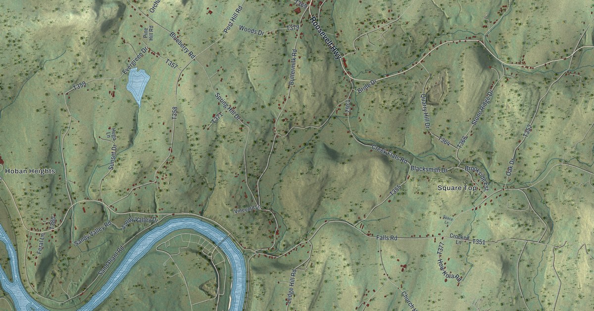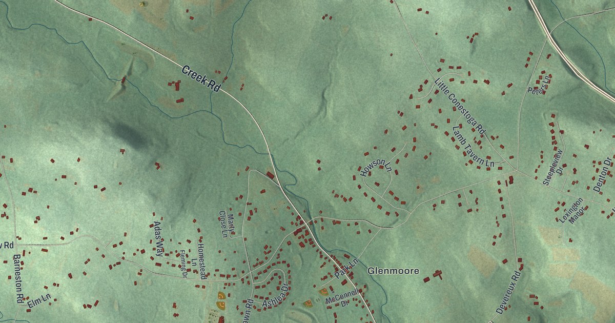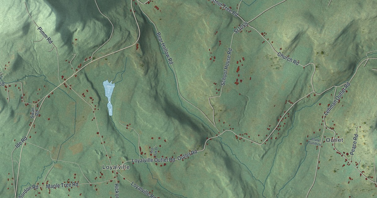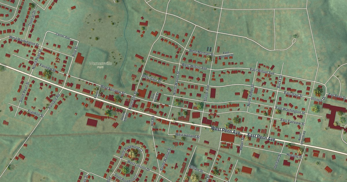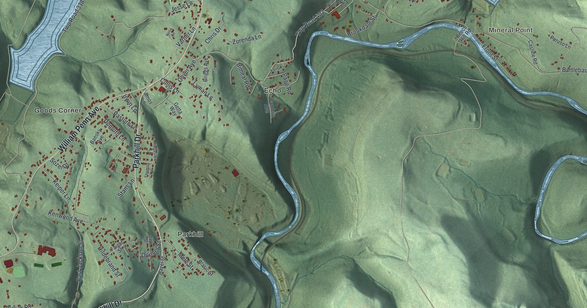
If you grew up in Mineral Point, Echo or Parkhill, or still drive William Penn Avenue home, this map is for you. It's a modern aerial view of East Taylor Township in Cambria County, Pennsylvania, made from modern data and given a vintage feel. Green hills fill the sheet. A blue river winds and loops through the middle, and two long blue lakes sit in the valleys up top. Small red shapes mark the buildings along the roads, from Goods Corner to Mineral Point.
Mineral Point and the Staple Bend Tunnel
On this map you'll find William Penn Avenue, Mineral Point Road, Parkhill Drive, Echo Road, Hinkston Run Road, Westpoint Road, Rosedale Avenue, Kenwood Avenue, Front Street, Chapel Lane, Beech Hill Road, Goods Corner, Wesley Chapel, West Point, and more. Each red shape is a building, so zoom in on the preview and look for yours.
A state historical marker stands where PA 271 meets Mineral Point Road. It tells about the Staple Bend Tunnel. The marker calls it the first railroad tunnel built in the U.S. It was part of the Portage Railroad. The marker says the masonry is intact and calls it a unique engineering feat of its time. It also says you can visit the tunnel a few miles east, by way of Mineral Point. On the map, look for Mineral Point near the top, by the river and Bartlebaugh Road.
Plane No. 1 of the Old Portage Railroad
The 1907 History of Cambria County points to Mineral Point too. It says Salt Lick Run flows in there from Jackson Township, through East Taylor. The book adds that the Pennsylvania Railroad's No. 6 Bridge crosses that stream near the foot of Plane No. 1 of the Old Portage Railroad.
Named for Judge George Taylor
The same book says Taylor Township was created on July 7, 1857. It was named for Judge George Taylor, a common pleas judge at the time. East Taylor still carries his name today.
Keep Mineral Point and Parkhill Close
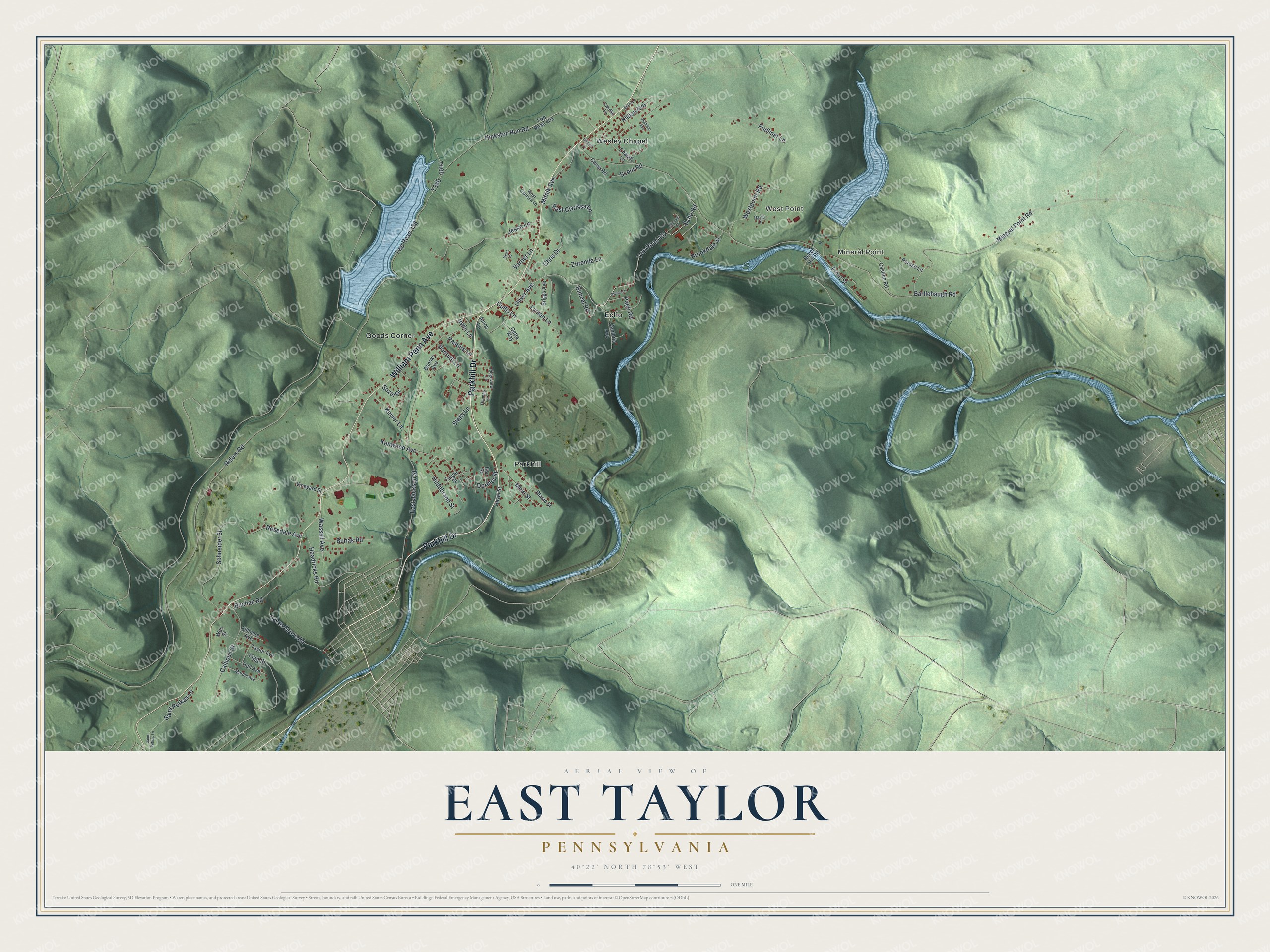
Created by KNOWOL in 2026, the print shows East Taylor's green hills in shaded relief, with blue water and small red buildings. The title panel reads Aerial View of East Taylor, Pennsylvania, with 40°22' North 78°53' West printed below.
It fits a den, a hallway or a camp wall. It's a good gift for someone who grew up near Wesley Chapel and moved away. Open the preview and find your road. See sizes and frames for the East Taylor map.