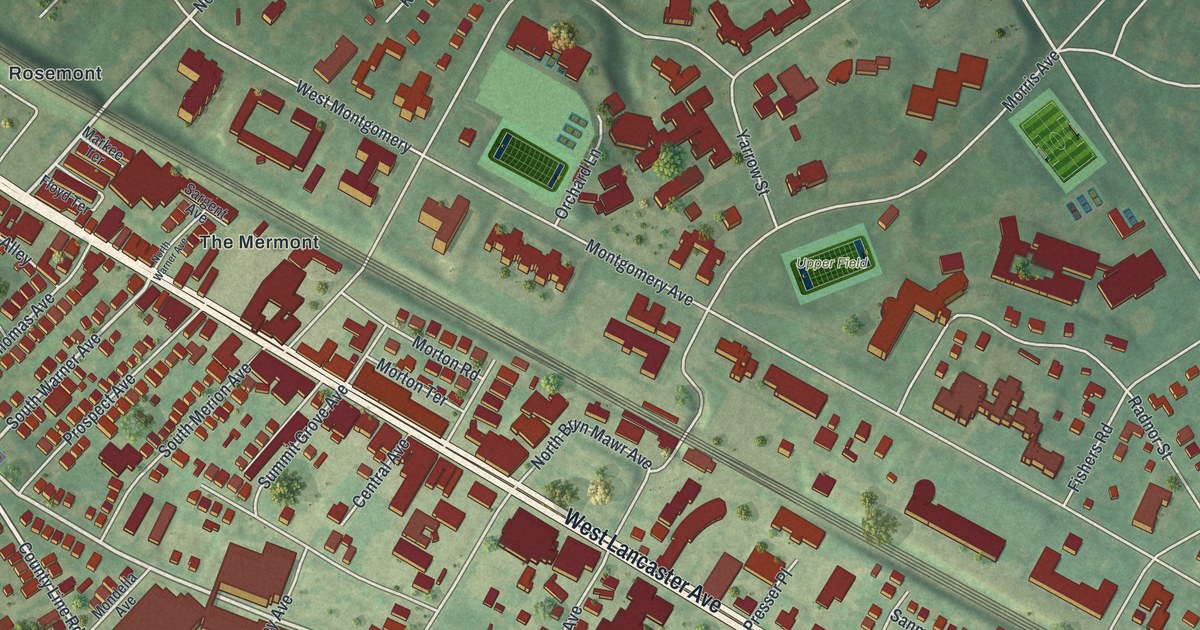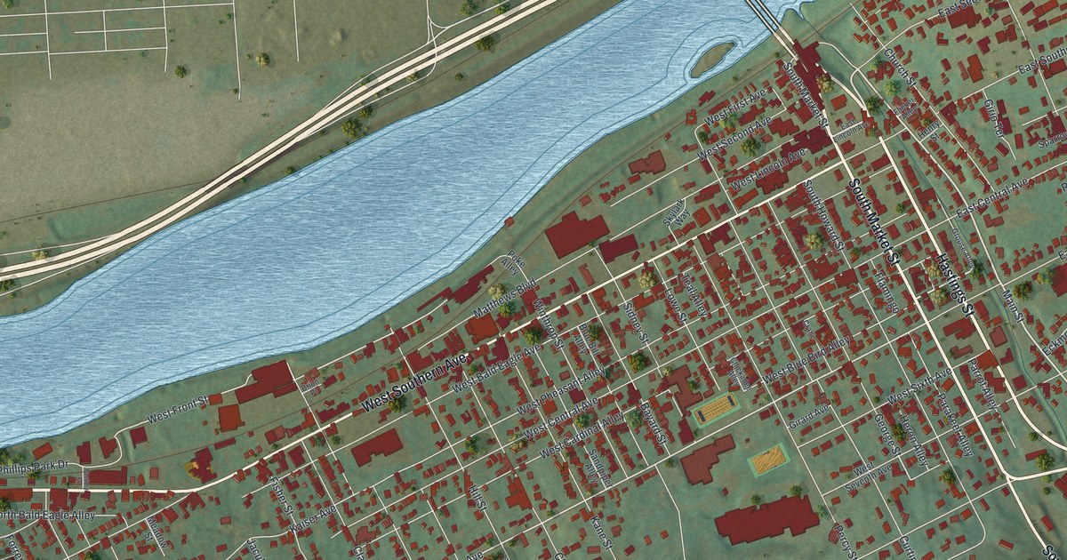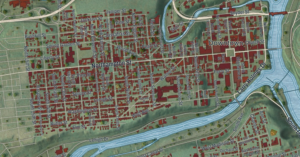
If you grew up walking Northampton Street or cheering at a Lafayette game, this map is for you. It's a modern aerial view of Easton in Northampton County, Pennsylvania, made from modern data and given a vintage look. Two wide blue rivers meet right beside Downtown. Red buildings fill the city blocks, from Paxinosa at the top of the sheet to South Easton and Browntown south of the river.
Easton at the Forks of the Delaware
On this map you'll find Northampton Street, Downtown, College Avenue, Quad Road, Ferry Street, Parsons Street, Bushkill Street, Larry Holmes Drive, Hackett Park, Hays Cemetery, Hugh Moore Park, South Easton, Williamsport, Glendon, and more. Each red shape is a building, so zoom in on the preview and look for yours.
A state historical marker calls Easton a key center of travel, trade and industry at the Forks of the Delaware. William Parsons laid out the town in 1752. You'll find Parsons Street on the map, which shares his name. From 1756 to 1762, Indian peace councils met on the town square. The talks aimed to keep peace with the Delawares and the Six Nations. That square is Centre Square, in the heart of the area the map calls Downtown. David Martin's Ferry operated at "The Forks" on grants from 1739 and 1741. It was an important link on a main route to the west until 1806, and it moved troops and supplies in the Revolutionary War. Its marker stands on Ferry Street, close to the river.
Lafayette College and the big game
Easton is also the home of Lafayette College. Local people met at White's Hotel near Centre Square on December 27, 1824, to found it. One of their leaders, James Madison Porter, had just met the French general Lafayette on his tour of America. In 1884, Lafayette played Lehigh in football for the first time. The NCAA calls it college football's most played rivalry. The two teams have met more than 150 times. To find the campus on the map, look around College Avenue, Quad Road and South College Drive.
From Paxinosa to Glendon
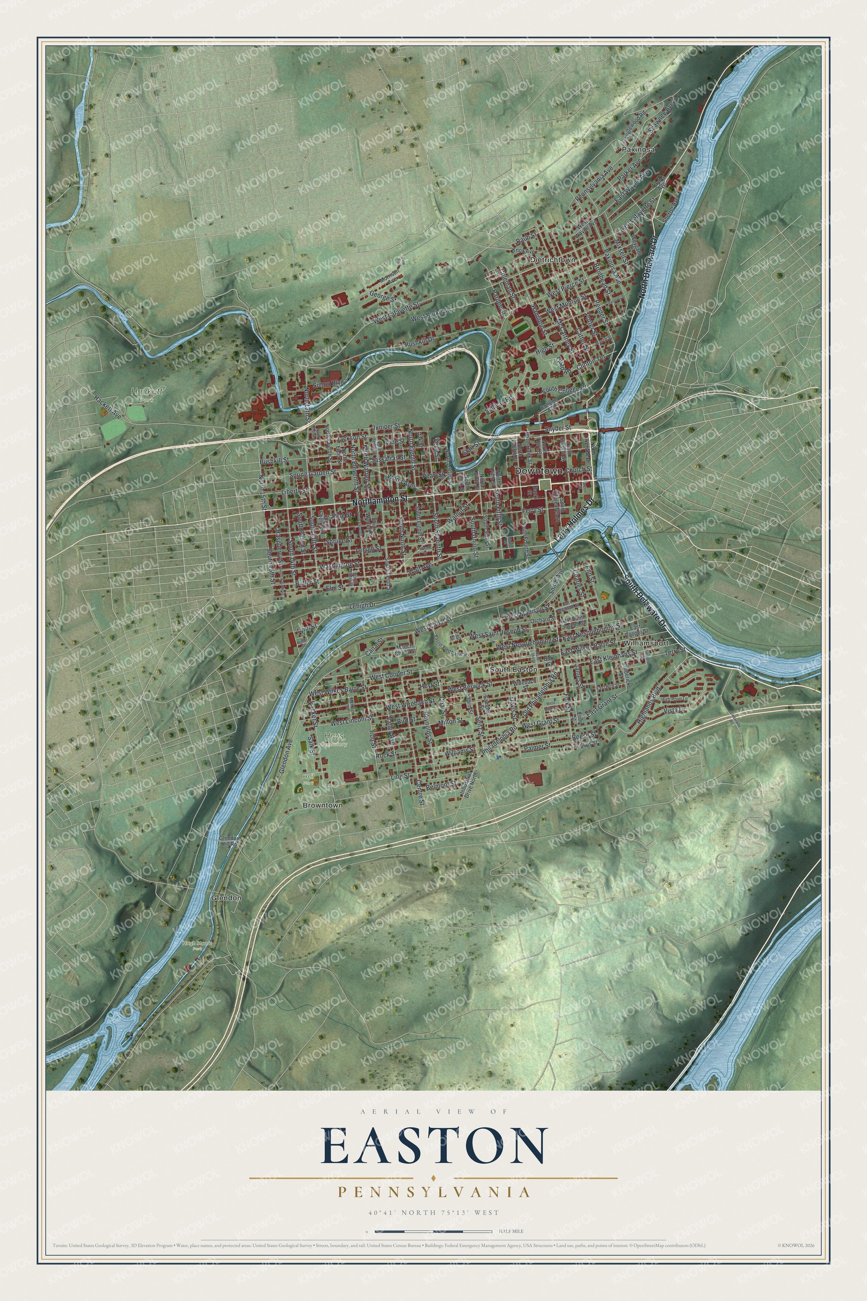
Created by KNOWOL in 2026, this print shows Easton from above in soft greens and river blues, with red buildings and small street labels over shaded hills. The title panel reads "Aerial View of Easton, Pennsylvania" with 40°41' North 75°13' West set below it.
It fits a living room, a home office or a dorm room wall. It's a good gift for a Lafayette College grad, a family with deep roots in South Easton, or anyone who moved away from the Forks and still misses it. Open the preview and find your street. See sizes and frames for the Easton map.