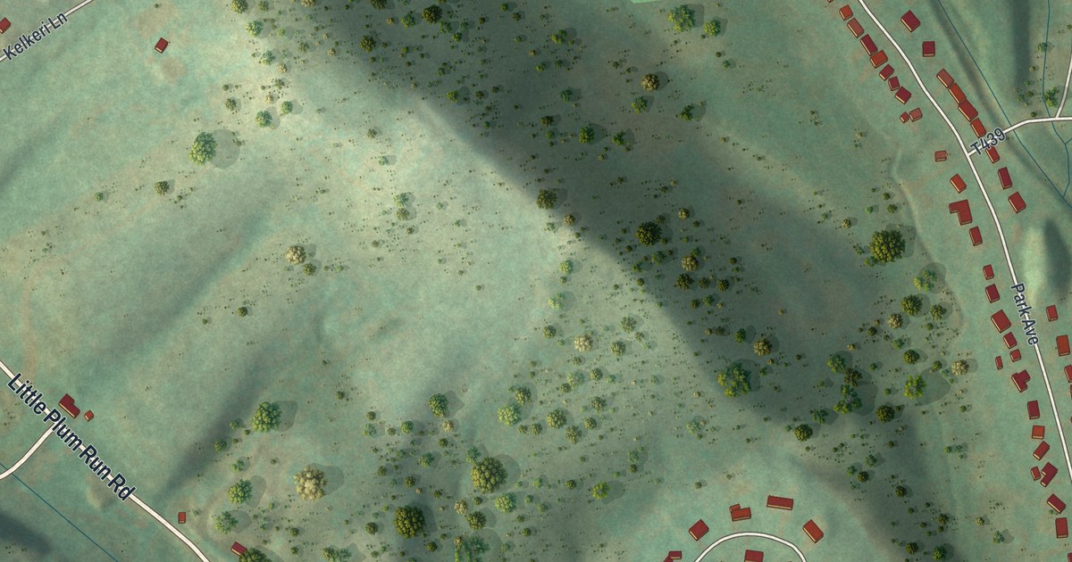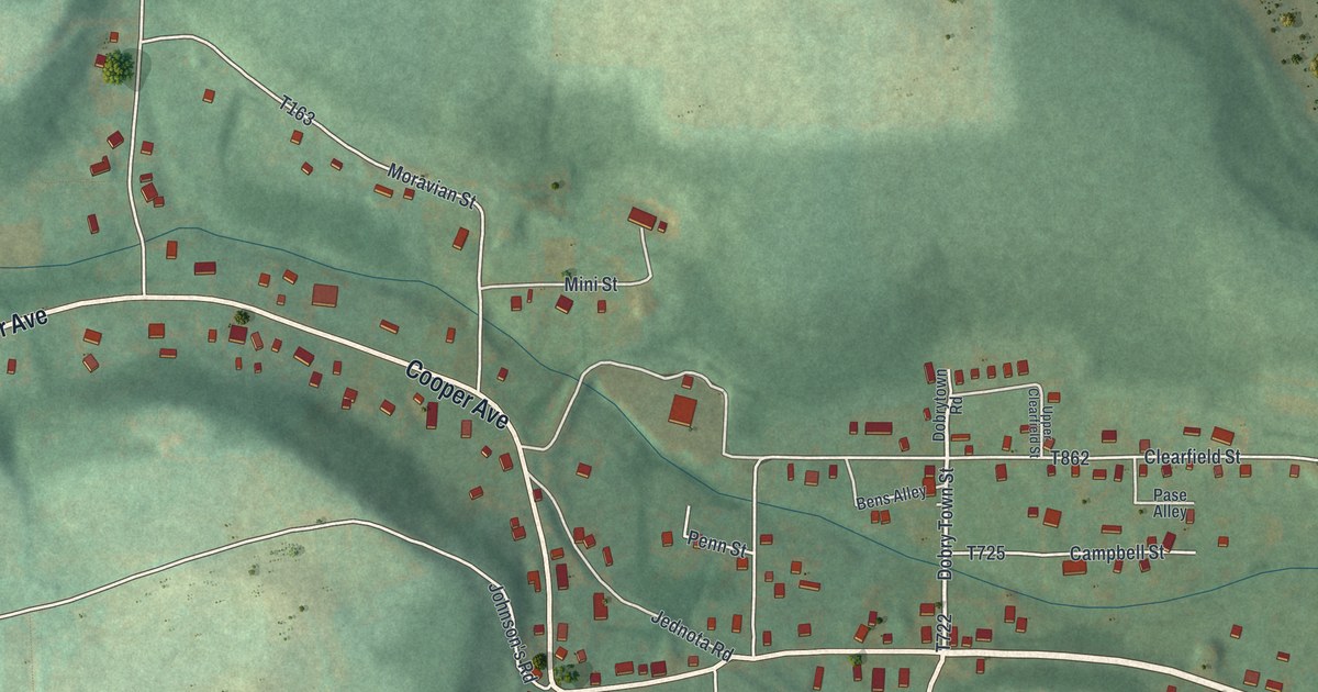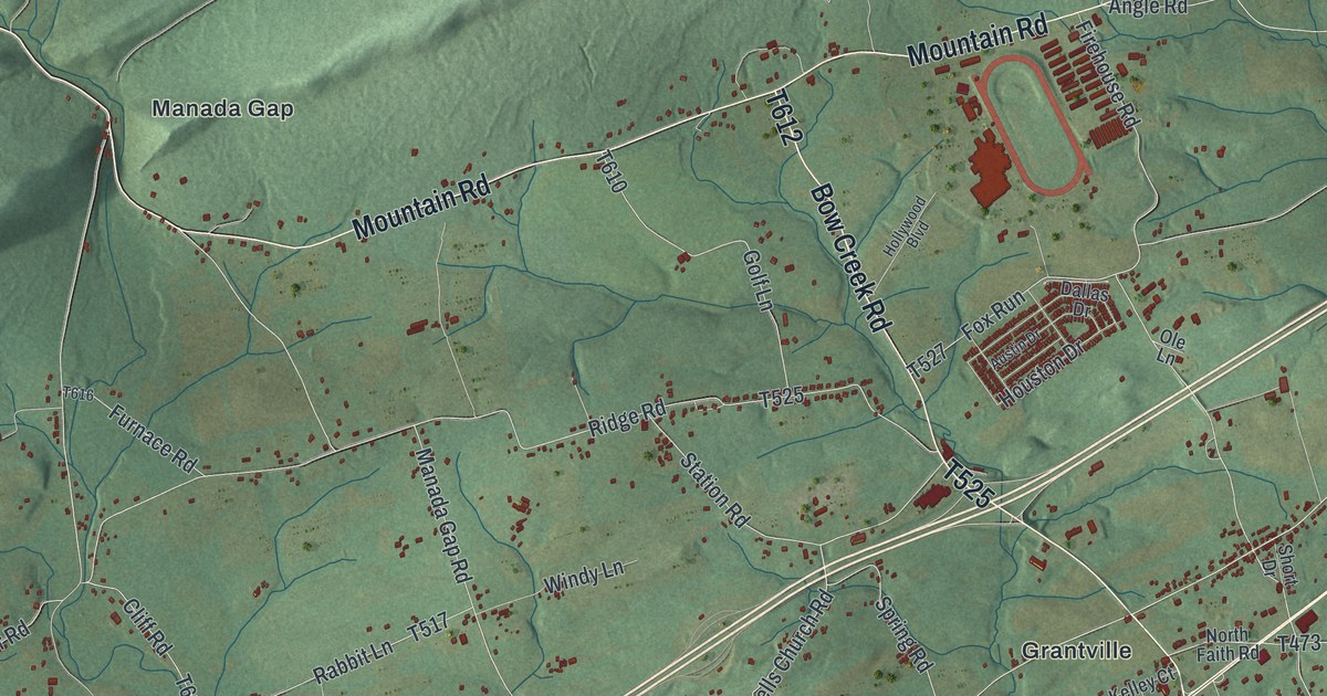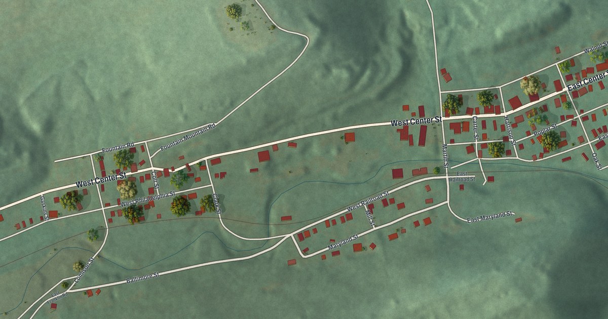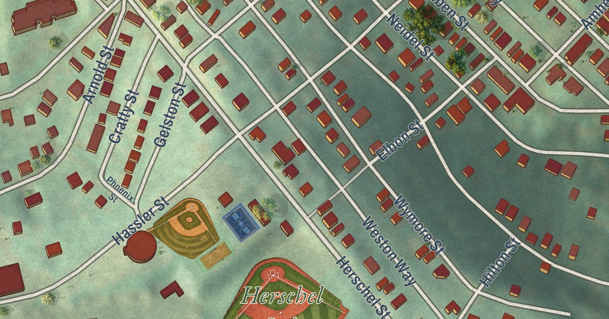
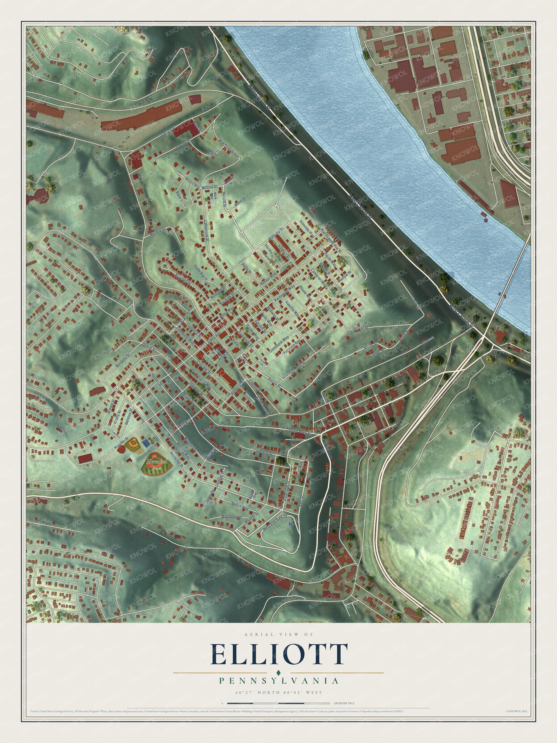
This beautifully detailed map of Elliott, Pennsylvania was created in 2026 using aerial imagery combined with modern topographical, census, street and landmark data. It’s a one-of-a-kind view of Elliott that combines accurate data with a vintage aesthetic. The map shows every building in its true location, many of the roads carry their names, and the shaded topographic relief shows the shape of the land.
Explore an aerial view of Elliott, Pennsylvania
On the map you’ll find Herschel Park, Saint Martins Cemetery, and West End, along with West Carson Street, West End Park Drive, Walbridge Street, Herrod Street, Milford Street, Kerr Street, Ramona Street, Attica Street, South Main Street, and more. If you look closely you can even find your house accurately drawn in its correct location. Zoom in on the preview to look for yours.
Did you know this piece of Elliott, Pennsylvania history?
From the City of Pittsburgh: "Elliott began as a mining community. The neighborhood offers a mix of late 19th and early 20th century residential dwellings and commercial buildings on Chartiers Avenue and Steuben Street."
Take a closer look at the Elliott map
Street and place names on the Elliott, Pennsylvania map
These names are printed on the map of Elliott, Pennsylvania.
Places: Herschel Park and Saint Martins Cemetery.
Streets and roads: West Carson Street, West End Park Drive, Walbridge Street, Herrod Street, Kerr Street, Milford Street, Attica Street, Furley Street, Ramona Street, Herschel Street, South Main Street, Angle Street.
More street names, A to Z
Advent Street, Ainsworth Street, Amherst Street, Arnold Street, Astor Way, Averilla Way, Azalia Street, Bengal Way, Berdella Street, Bond Street, Bucyrus Street, Buttonwood, Calcutta Way, Cameron Way, Chartiers Avenue, Comstock Way, Corfu Street, Corliss Street, Cratty Street, Crucible Street, Danley Street, Elbon Street, Elkton Street, Elliott Street, Ernie Street, Fairview Avenue, Fenton Street, Finch Street, Fredonia Street, Fredonia Way, Gelston Street, Gibson Street, Harker Street, Hassler Street, Herndon Street, Hilton Street, Ironside Way, Janewood Way, Jones Street, Knowlton Way, Lakewood Street, Lander Street, Lindsay Street, Linhart Street, Lorenz Avenue, Lovelace Street, Marena Street, Mark Way, Marlow Street, Milford Way, Navajo Way, Neidel Street, Nittany Street, Noblestown Road, Oswin Street, Palo Way, Parnassus Way, Paula Way, Payne Way, Phoenix Street, Planet Street, Plover Way, Rudd Street, Rudolph Street, Rue Grande Vue, Rue Grande Vue Street, Sedan Way, Stem Street, Steuben Street, Strahley Place, Titus Street, Uvilla Street, Valier Street, Valle Rue Street, Valonia Street, Vixen Street, Weaver Street, Werder Street, Weston Way, Wilhelm Street, Wilna Way, Wymore Street, Zion Street.
See the Elliott, Pennsylvania map on a wall
The Elliott map as an 18 x 24 inch print in a black frame.

This beautifully detailed map of Elliott makes an attractive addition to your office, library, or den, and it can even be used to teach children the geography and history of the area. It also makes a great gift for anyone who grew up in Elliott or moved away. When you’re done exploring, click here to get your copy of the Elliott map.