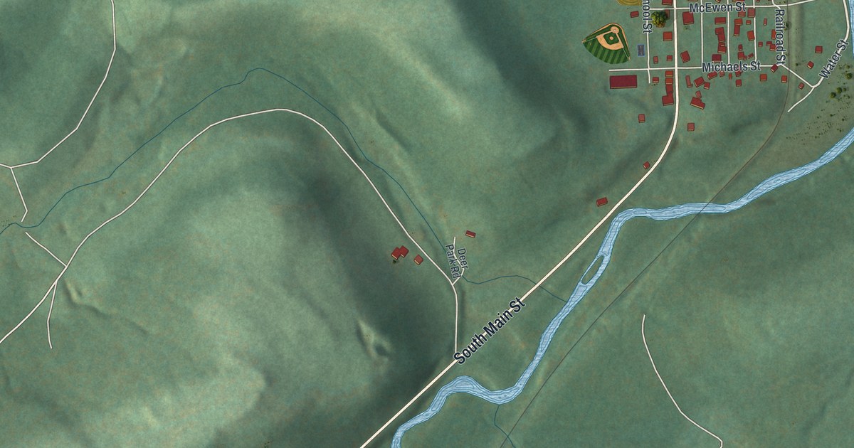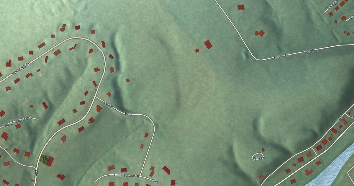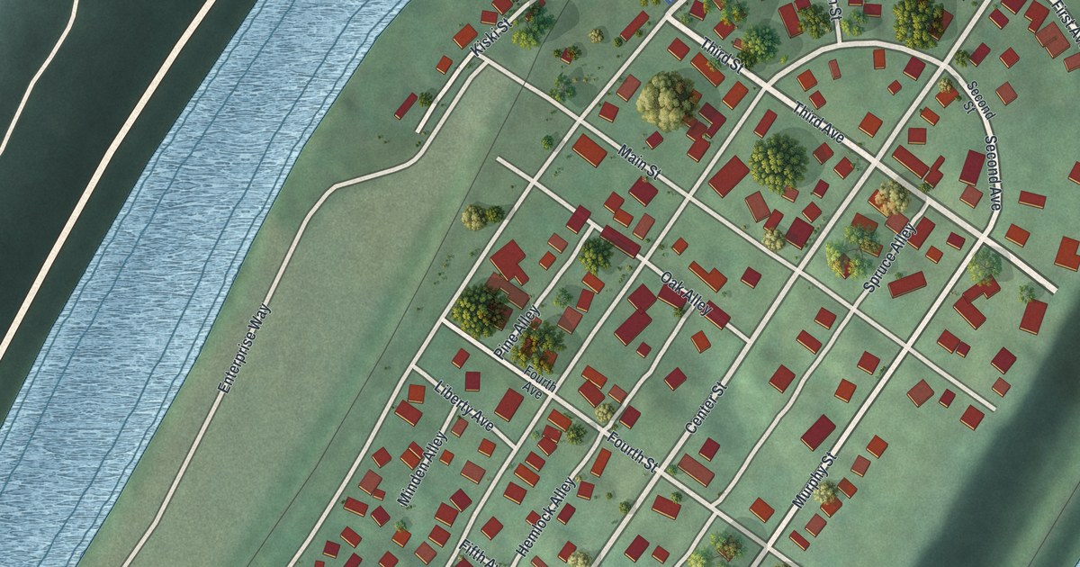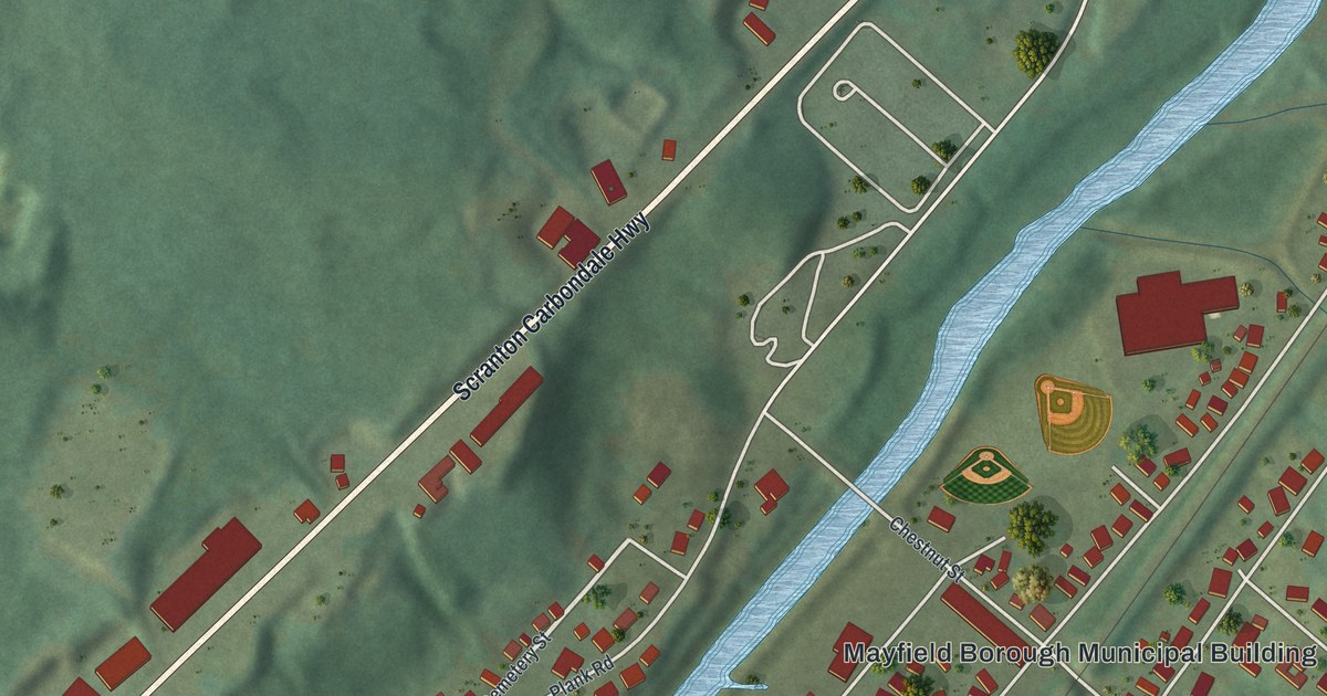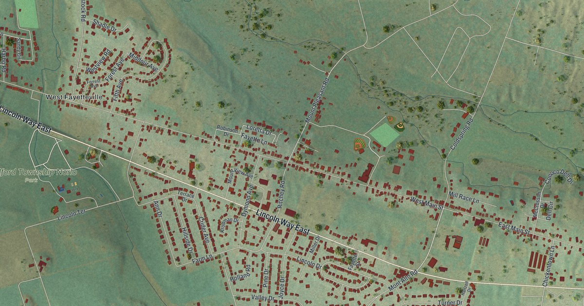
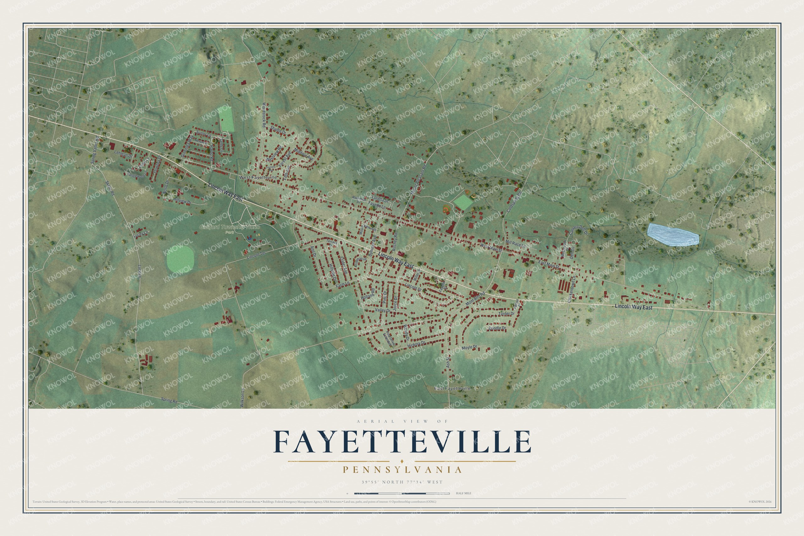
This beautifully detailed map of Fayetteville, Pennsylvania was created in 2026 using aerial imagery combined with modern topographical, census, street and landmark data. It's a modern aerial view of Fayetteville in Franklin County, Pennsylvania, that combines modern data with a vintage aesthetic. The roads feature printed names, and if you look closely you can find your exact house accurately shown in its correct location.
Explore an aerial view of Fayetteville, Pennsylvania
On this map you'll find Guilford Township Norlo Park, East Fayetteville, West Fayetteville, Lincoln Way East, Ash Street, Loretta Drive, Sunny Lane, Lincoln Drive, Chickentown Lane, Ritchey Road, West Main Street, Lucy Lane, and more. Each red shape is a building, so zoom in on the preview and look for yours.
Fayetteville has a story worth telling. In 1826 John and Benjamin Darby bought the mill property there from the Chambersburg Bank and soon laid out the town in lots facing the turnpike. When the post office department objected to the town's first name, it was changed to Fayetteville in honor of General Lafayette. Findlayville, laid out half a mile away by Col. John Findlay in 1830, later became part of Fayetteville too. That's from the 1887 History of Franklin County.
Fayetteville is a community in Franklin County. The Census Bureau counted 3,208 people here in 2020. Fayetteville sits about 2 miles east of Guilford, 4 miles south of Scotland and 5 miles north of Mont Alto. The map prints the town name in its title panel, with the coordinates below it.
Take a closer look at the Fayetteville map
Names on this map
These names are printed on this map.
Places: Guilford Township Norlo Park, East Fayetteville and West Fayetteville.
Streets and roads: Lincoln Way East, Ash Street, Loretta Drive, Sunny Lane, Lincoln Drive, Chickentown Lane, Ritchey Road, West Main Street, Lucy Lane, Wilkson Lane, Skelly Road, Lincoln Terrace.
More street names, A to Z
Ann Drive, Brindle Drive, Coldspring Road, Conoco Dell Drive, Crider Avenue, Dell Circle, Downey Drive, Dymond Avenue, East Main Street, Farm Lane, Fayette Lane, Fayette Street, Fifth Avenue, Forest Avenue, Forest Lane, Forrest Avenue, Greenlea Way, Harbo Road, Hartzell Drive, Hickory Drive, Hillside Drive, Hillview Drive, Holland Road, Joyce Drive, Krollman Drive, Lehman Drive, Lucey Lane, McCrosson Drive, McIlvaine Lane, Middour Avenue, Miller Drive, Mill Race Lane, Mont Alto Road, Mount Pleasant Road, Mount View Avenue, Moyle Drive, Norlo Drive, Pine Drive, Pine Drive Extended, Robinson Drive, Sandy Circle, Shadle Drive, Spring Road, Spring Valley Road, Tanglewood Lane, Terrace Drive, Turner Drive, Valley Drive, Wendy Drive, Westview Road, Woodstock Road.
See it on a wall
The Fayetteville map as a framed print. Swipe for more.


Created by KNOWOL in 2026. The buildings are small red shapes, the roads carry their printed names, and shaded relief shows the shape of the land. The title panel reads "AERIAL VIEW OF FAYETTEVILLE, PENNSYLVANIA" with 39°55' NORTH 77°34' WEST.
It looks right in a kitchen, an office or a den, and it's a gift for anyone who grew up in Fayetteville or moved away. Open the preview and find your street. See sizes and frames for the Fayetteville map.