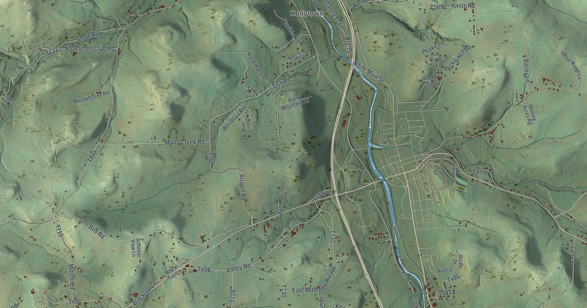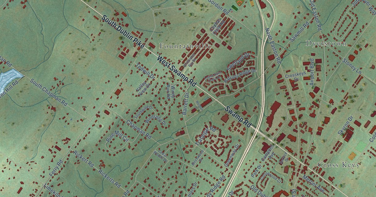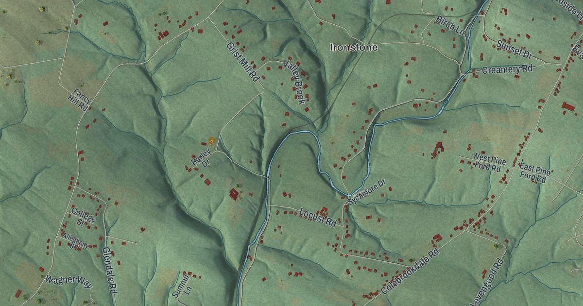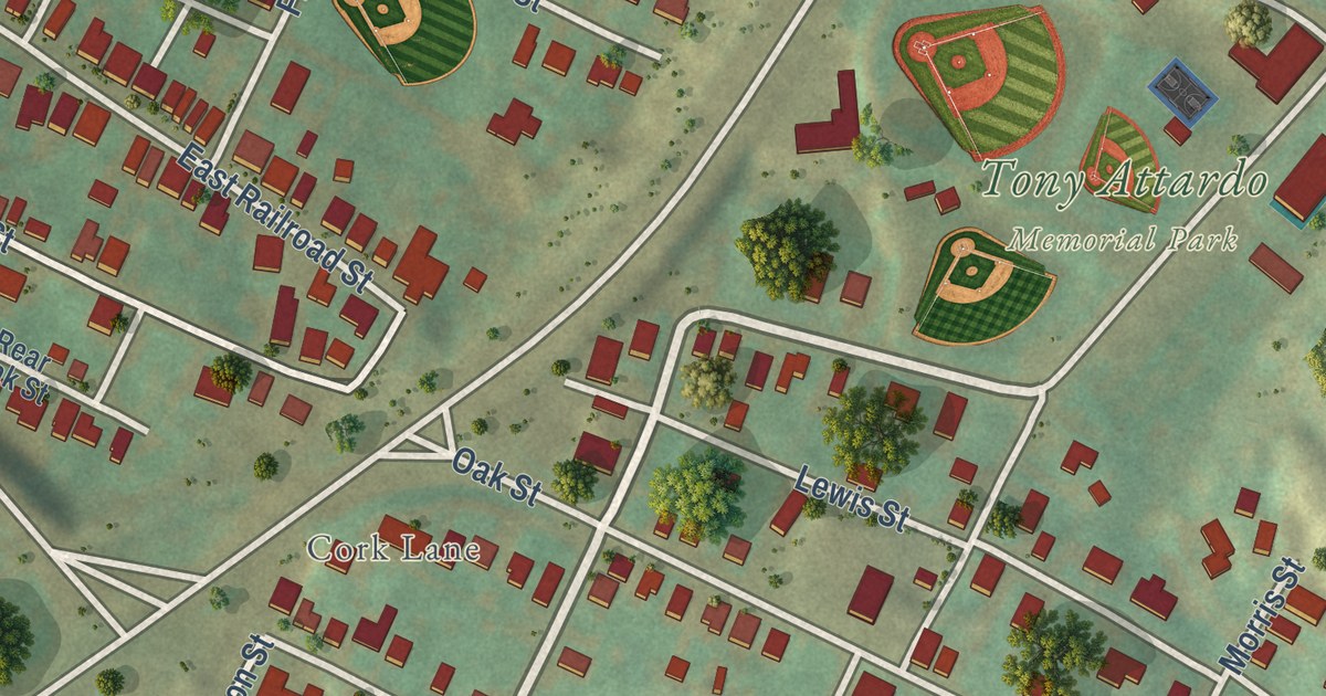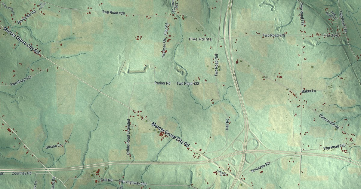
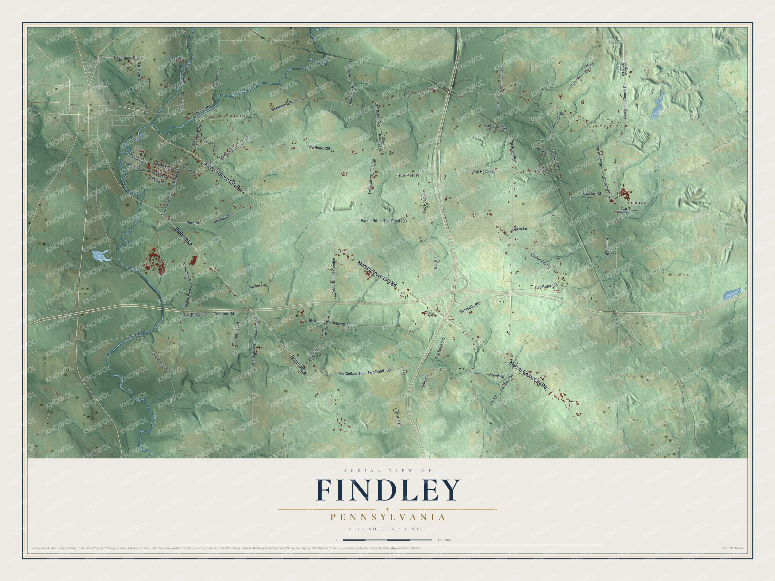
This beautifully detailed map of Findley, Pennsylvania was created in 2026 using aerial imagery combined with modern topographical, census, street and landmark data. It’s a one-of-a-kind view of Findley that combines accurate data with a vintage aesthetic. The map shows every building in its true location, many of the roads carry their names, and the shaded topographic relief shows the shape of the land.
Explore an aerial view of Findley, Pennsylvania
On the map you’ll find Irishtown, Pardoe, Five Points, Twp Road 479, Twp Road 780, and Twp Road 439, along with Mercer Grove City Road, Butler Pike, Fairground Road, Irishtown Road, Dauphine Lane, Scrubgrass Road, and more. If you look closely you can even find your house accurately drawn in its correct location. Zoom in on the preview to look for yours.
Did you know this piece of Findley, Pennsylvania history?
From the 1888 History of Mercer County, Pennsylvania: "In the region lying near Mercer borough, undoubtedly the first settler was John Findley, whose residence in the township began in 1799, at which time he removed from his old home in Westmoreland County to his new one in Mercer County."
Take a closer look at the Findley map
Street and place names on the Findley, Pennsylvania map
These names are printed on the map of Findley, Pennsylvania.
Places: Irishtown, Pardoe and Five Points.
Streets and roads: Mercer Grove City Road, Butler Pike, Fairground Road, Twp Road 479, Twp Road 780, Irishtown Road, Dauphine Lane, Scrubgrass Road, Twp Road 439, Clintonville Road, Hartwick Road, Twp Road 772.
More street names, A to Z
Anderson Lane, Andrusky Road, Ashley Lane, Baker Lane, Blair Road, Buckley Road, Church Road, Corry Road, Courtney Lane, Courtney Road, Cribbs Road, Cribbs Road Extended, Crill Road, Crill School Road, Decature Road, Dixie Lane, East Home Street, Filer Road, Glenn Road, Grange Road, Hall Road, Houston Road, Huggard Road, Jackson Center Road, Lee Road, Mariacher Road, Mc Clelland Road, Mc Millan Road, Oakland Road, Old Ash Road, Old Mercer Road, Parker Road, Pew Road, Pizor Road, Plantation Drive, Saxion Lane, Scenic Valley Drive, Schaffer Road, Schiestle Road, South Foster Road, Springfield Church Road, Temporary Road, Thompson Road, Twp Highway 403, Twp Highway 676, Twp Road 401, Twp Road 405, Twp Road 431, Twp Road 433, Twp Road 435, Twp Road 453, Twp Road 678, Twp Road 682, Twp Road 698, Twp Road 700, Twp Road 702, Twp Road 724, Twp Road 726, Twp Road 728, Twp Road 730, Twp Road 754, Twp Road 756, Twp Road 776, Twp Road 777, Twp Road 778, Twp Road 944, Uber Road, Woodland Road.
See the Findley, Pennsylvania map on a wall
The Findley map as an 18 x 24 inch print in a black frame.

This beautifully detailed map of Findley makes an attractive addition to your office, library, or den, and it can even be used to teach children the geography and history of the area. It also makes a great gift for someone who left Findley and still calls it home. When you’re done exploring, click here to get your copy of the Findley map.