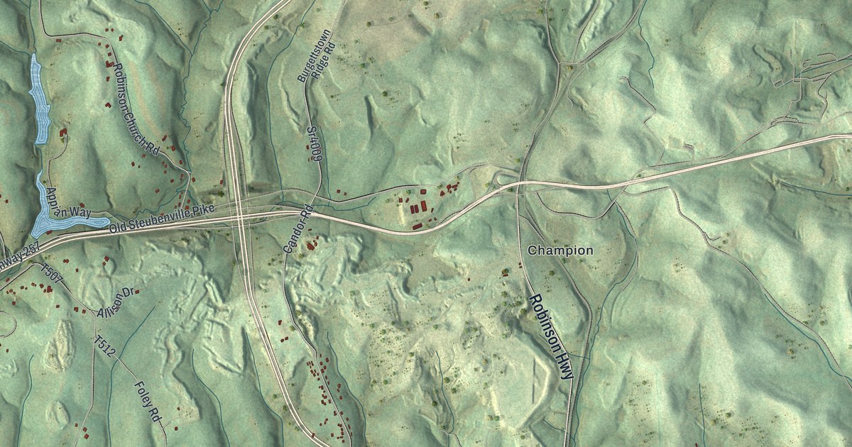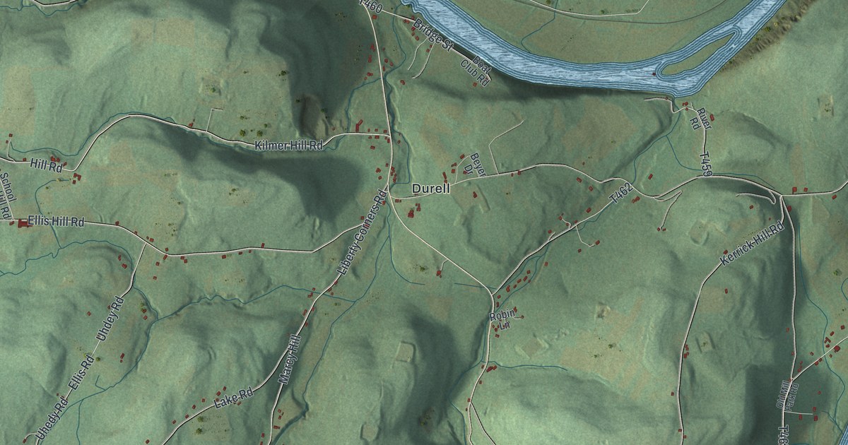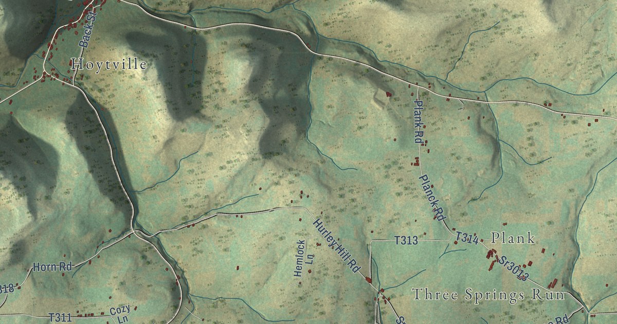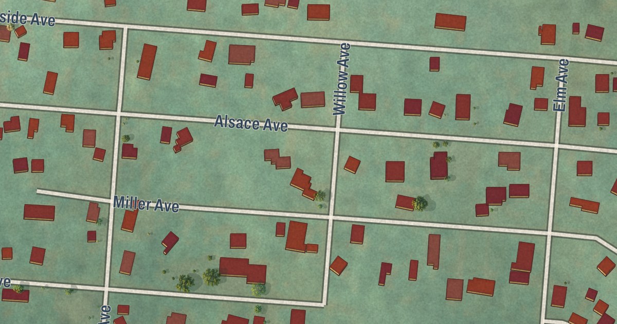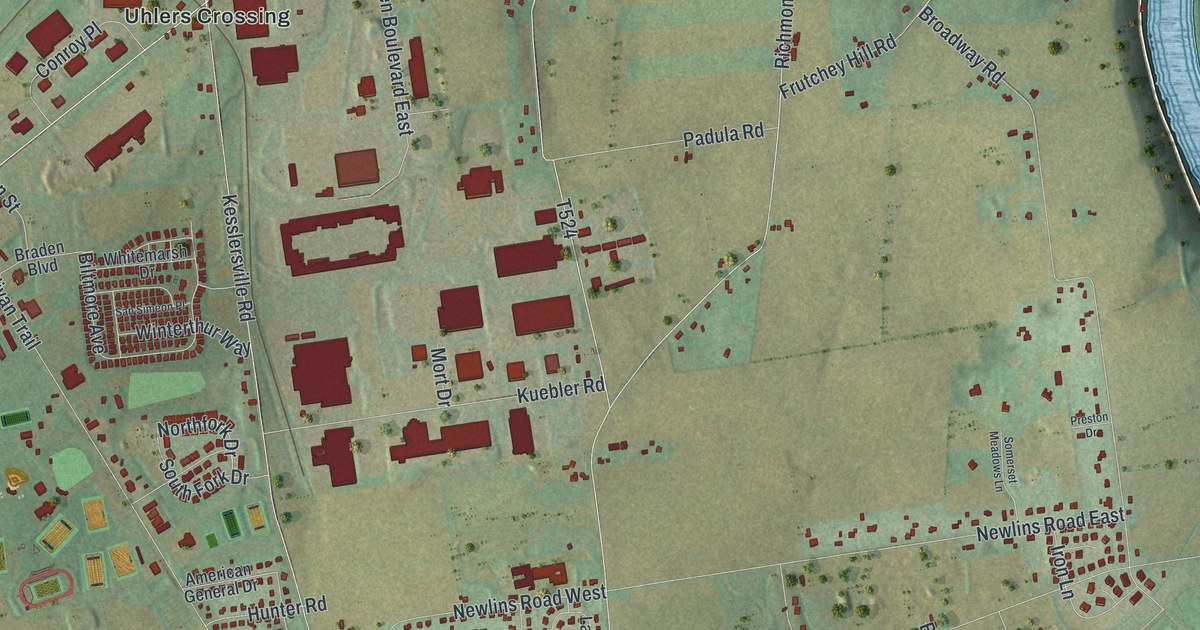
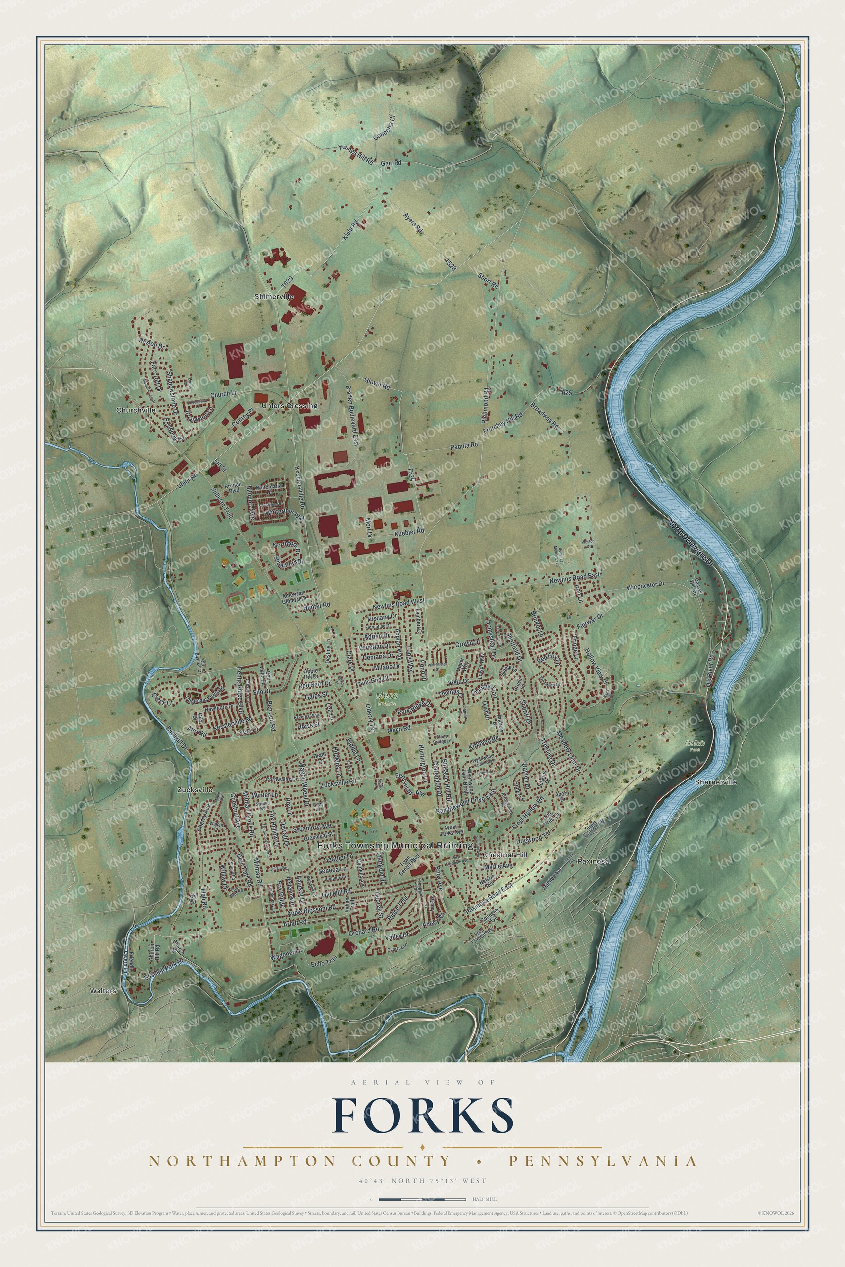
This beautifully detailed map of Forks, Northampton County, Pennsylvania was created in 2026 using aerial imagery combined with modern topographical, census, street and landmark data. It’s a one-of-a-kind view of Forks that combines accurate data with a vintage aesthetic. The map shows every building in its true location, many of the roads carry their names, and the shaded topographic relief shows the shape of the land.
Explore an aerial view of Forks, Northampton County, Pennsylvania
On the map you’ll find Forks Township Municipal Building, Walters, Gollub Park, Meco Fields, Chestnut Hill, Churchville, Paxinosa, Shernerville, Shimerville, Uhlers Crossing, and Zucksville, along with North Delaware Drive, and more. If you look closely you can even find your house accurately drawn in its correct location. Zoom in on the preview to look for yours.
Did you know this piece of Forks, Northampton County, Pennsylvania history?
From the Pennsylvania Historical and Museum Commission: "This major expedition of the Revolution aimed at the Indian-Tory alliance in New York, was organized at Easton under Gen. John Sullivan. Over a month''s preparations preceded the first day''s march, begun near here June 18, 1779."
Take a closer look at the Forks, Northampton County map
Street and place names on the Forks, Northampton County, Pennsylvania map
These names are printed on the map of Forks, Northampton County, Pennsylvania.
Places: Forks Township Municipal Building, Walters, Gollub Park, Meco Fields, Chestnut Hill, Churchville, Paxinosa, Shernerville, Shimerville, Uhlers Crossing and Zucksville.
Streets and roads: North Delaware Drive, Valley Drive, Arndt Road, Klein Road, Sheriff Drive, Uhler Road, Vera Drive, Sullivan Trail, Richmond Road, Bushkill Drive, Kesslersville Road, Winchester Drive.
More street names, A to Z
Aarons Place, Abbey Road, Acorn Drive, Adams Street, Adrian Drive, Alex Road, American General Drive, Andrew Drive, Appian Way, Apple Blossom Road, Apple Hill Drive, Arrowwood Drive, Ayers Road, Barry Court, Baurkot Drive, Ben John Road, Ben Jon Road, Betty Lane, Biddle Lane, Biltmore Avenue, Blossom Hill Road, Braden Boulevard, Braden Boulevard East, Brant Lane, Briarwood Lane, Brinker Lane, Broadway Road, Bruen Lane, Bushkill Park Drive, Camelia Avenue, Cherry Avenue, Chestnut Avenue, Chestnut Lane, Church Hill Road, Church Lane, Church Street, Clarendon Drive, Clark Place, Concetta Court, Conroy Place, Cornwallis Drive, Creek Court, Crown Drive, Cypress Lane, Danser Hill Road, Dayton Drive, Deer Path Road, Demaria Drive, Destiny Lane, Dewalt Drive, Dogwood Terrace, Echo Trail, Fairway Drive, Farmstead Drive, Farrcroft Drive, Fernwood Drive, Florentine Drive, Fox Hollow Lane, Fox Ridge, Fox Run Road, Foxwood Circle, Friendly Tavern Lane, Fringe Lane, Frost Hollow Road, Frutchey Hill Road, Garr Road, Gates Street, George Street, Gila Drive, Glover Road, Greenleaf Street, Hawthorn Drive, Heather Lane, Hedgerow Court, Hedgerow Drive, Hennaberry Lane, Hill Road, Hillside Avenue, Hollow View Drive, Homestead Drive, Hoops Lane, Hopkins Lane, Howe Street, Hunter Road, Huntington Lane, Ian Street, Indian Trail, Iron Lane, Iroquios Drive, Jamie Court, Jenkins Drive, Kesslerville Road, Kirkland Road, Knox Avenue, Kuebler Road, Lambert Court, Lee Lane, Leigh Drive, Liberty Terrace, Lieb Road, Lindenwood Lane, Long Way, Lorton Drive, Lower Way, Maple Avenue, Marigold Drive, Meadow Lane Drive, Meco Road, Milano Drive, Mitman Creek Road, Mitman Road, Mohawk Lane, Mort Drive, Myrtle Avenue, Napa Drive, Nelson Avenue, Newlins Road East, Newlins Road West, Northfork Drive, Oak Tree Lane, Old Bushkill Drive, Old Mill Road, Old River Road, Orchard Road, Padula Road, Park Ridge Drive, Paxinosa Road East, Penns Ridge Boulevard, Penny Lane, Pond Drive, Preston Drive, Ramblewood Drive East, Red Barn Drive, Red Fox Lane, Rensselaer Avenue, Reston Drive, Reveres Way, Ridge Trail, Roy Lane, San Simeon Place, Seneca Lane, Shadowstone Drive, Sheffield Drive, Shimer Avenue, Short Road, Silo Drive, Somerset Meadows Lane, South Fork Drive, Spengler Avenue, Spring Road, Steele Lane, Steeplechase Drive, Stone Bridge Lane, Stump Road, Sycamore Avenue, Thomas Drive, Thornwood Vw North, Timothy Trail, Toboggan Trail, Town Center Boulevard, Trails End Court, Treeline Drive, Tuscany Drive, Upper Shawnee Avenue, Upper Way, Upstream Farm Road, Venetian Drive, Vista Drive, Wagener Lane, Wagon Wheel Drive, Walnut Lane, Waverly Avenue, West Elizabeth Avenue, West Fairfield Avenue, West Forks Avenue, Westwind Drive, Whitemarsh Drive, Willow Drive, Winchester Street, Winter Lane, Winterthur Way, Wynnwood Lane East, Wynnwood Lane North, Youngs Hill Road, Zucksville Road.
See the Forks, Northampton County, Pennsylvania map on a wall
The Forks, Northampton County map as an 18 x 24 inch print in a black frame.

This beautifully detailed map of Forks, Northampton County makes an attractive addition to your office, library, or den, and it can even be used to teach children the geography and history of the area. It also makes a great gift for anyone who grew up in Forks or moved away. When you’re done exploring, click here to get your copy of the Forks, Northampton County map.