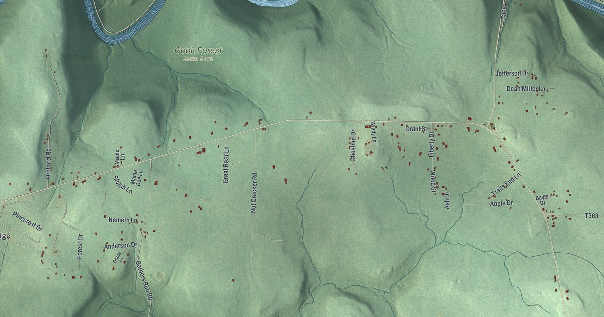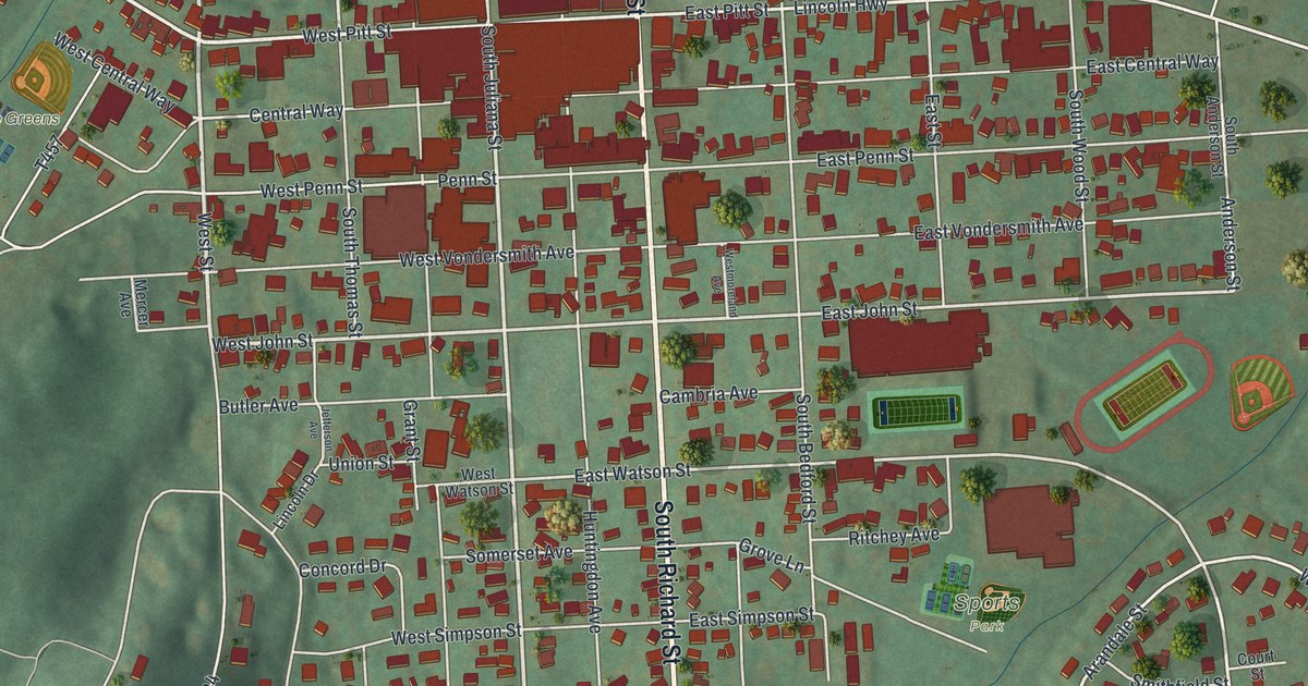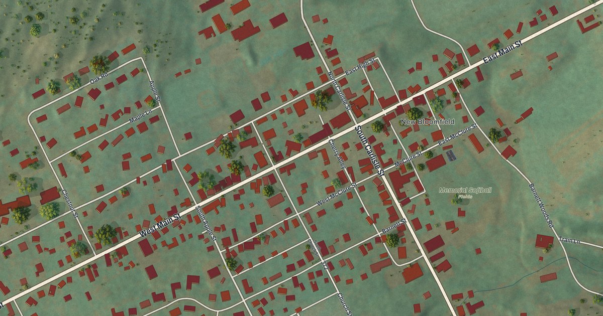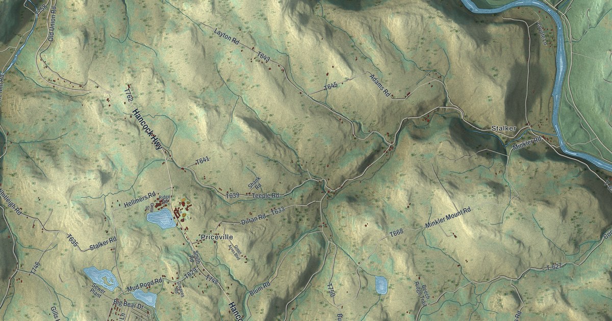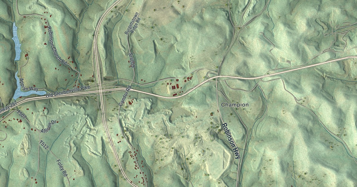
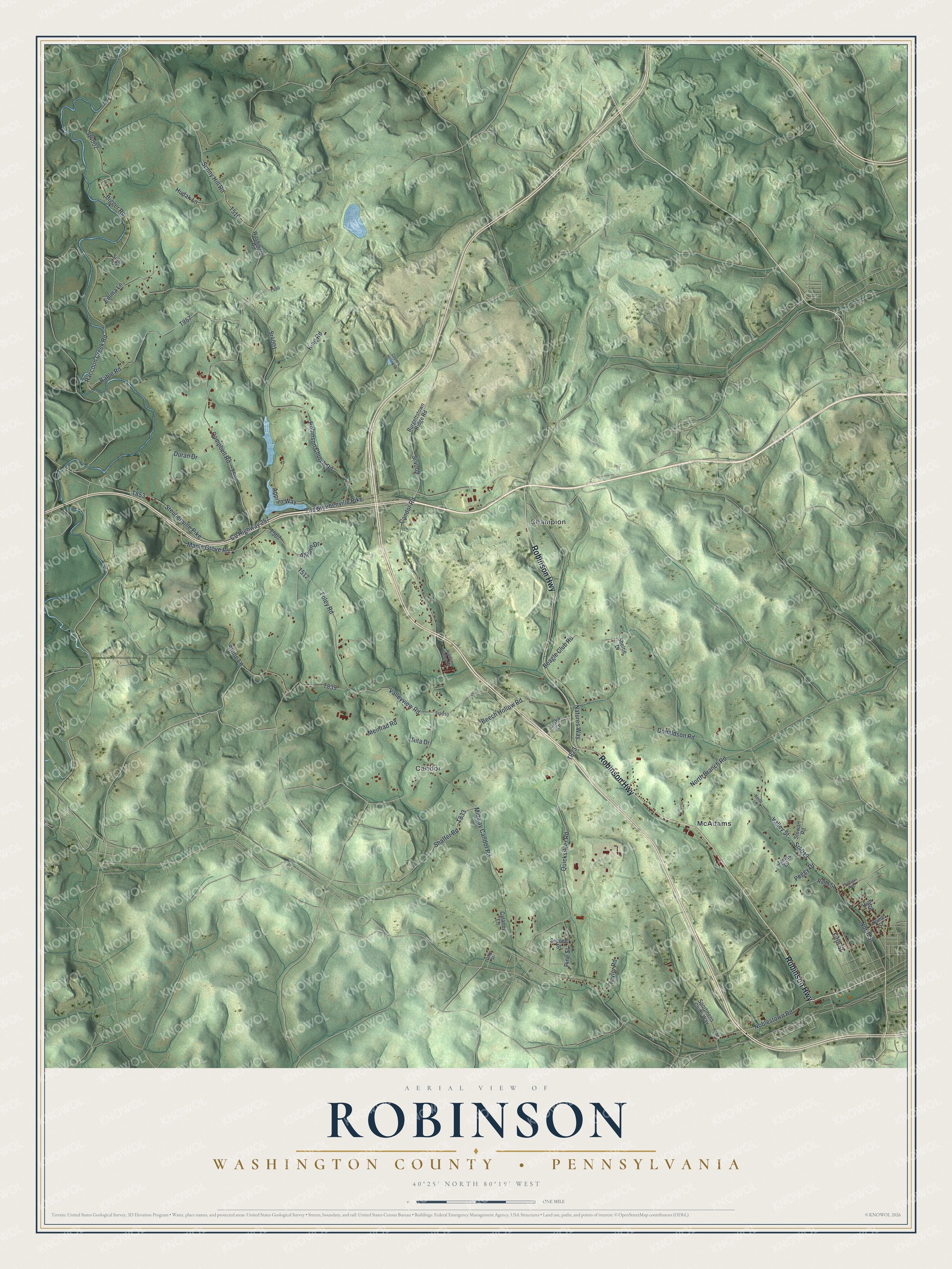
This beautifully detailed map of Robinson, Washington County, Pennsylvania was created in 2026 using aerial imagery combined with modern topographical, census, street and landmark data. It's a modern aerial view of Robinson, Washington County in Washington County, Pennsylvania, that combines modern data with a vintage aesthetic. The roads feature printed names, and if you look closely you can find your exact house accurately shown in its correct location.
Explore an aerial view of Robinson, Washington County, Pennsylvania
On this map you'll find Candor, Champion, McAdams, Robinson Highway, Candor Road, Sr4001, Sunny Hill Road, T510, Noblestown Road, Co Highway 257, Beech Hollow Road, Bigger Road, and more. Each red shape is a building, so zoom in on the preview and look for yours.
Robinson, Washington County has a story worth telling. The History of Washington County puts it this way: "Thomas Biggert (now written Bigger), his wife, mother, and sister emigrated to America from Ireland in 1773. After remaining in the East a short time, they came to what is now Robinson township, and settled upon land now owned by Matthew Bigger."
Robinson, Washington County is a place in Washington County. The Census Bureau counted 1,707 people here in 2020.
Take a closer look at the Robinson, Washington County map
Names on this map
These names are printed on this map.
Places: Candor, Champion and McAdams.
Streets and roads: Robinson Highway, Candor Road, Sr4001, Sunny Hill Road, Noblestown Road, County Highway 257, Beech Hollow Road, Bigger Road, Sr4002, Old Steubenville Pike, Steubenville Pike, Maple Grove Road.
More street names, A to Z
Allison Drive, Appian Way, Bable Road, Beagle Club Road, Bordo Lane, Burgettstown Ridge Road, Campbell Road, Cataney Lane, Country Hollow Drive, Dilly Street, Donaldson Road, Duran Drive, Emma Lane, Fifth Street, Foley Road, Hidden Valley Drive, High Street, Home Street, Hudak Lane, Hudson Avenue, James Drive, King Road, Laska Lane, Meinrad Road, Midway Candor Road, Natures Way, North Branch Road, North Street, Peggy Drive, Pine Street, Quicksilver Road, Raccoon Creek Road, Rita Drive, Robb Street, Robinson Church Road, Second Street, Shaffer Road, Sheltie Drive, Sportmens Clubs Way, Sr4009, Sr4010, Sr4013, Stewart Road, Stone Lane, Suter Drive, Taylor Road, Valley Street, Valleyview Road, Washington Road.
See it on a wall
The Robinson, Washington County map as a framed print. Swipe for more.


Created by KNOWOL in 2026. The buildings are small red shapes, the roads carry their printed names, and shaded relief shows the shape of the land. The title panel reads "AERIAL VIEW OF ROBINSON, WASHINGTON COUNTY • PENNSYLVANIA" with 40°25' NORTH 80°19' WEST.
It looks right in a kitchen, an office or a den, and it's a gift for anyone who grew up in Robinson, Washington County or moved away. Open the preview and find your street. See sizes and frames for the Robinson, Washington County map.