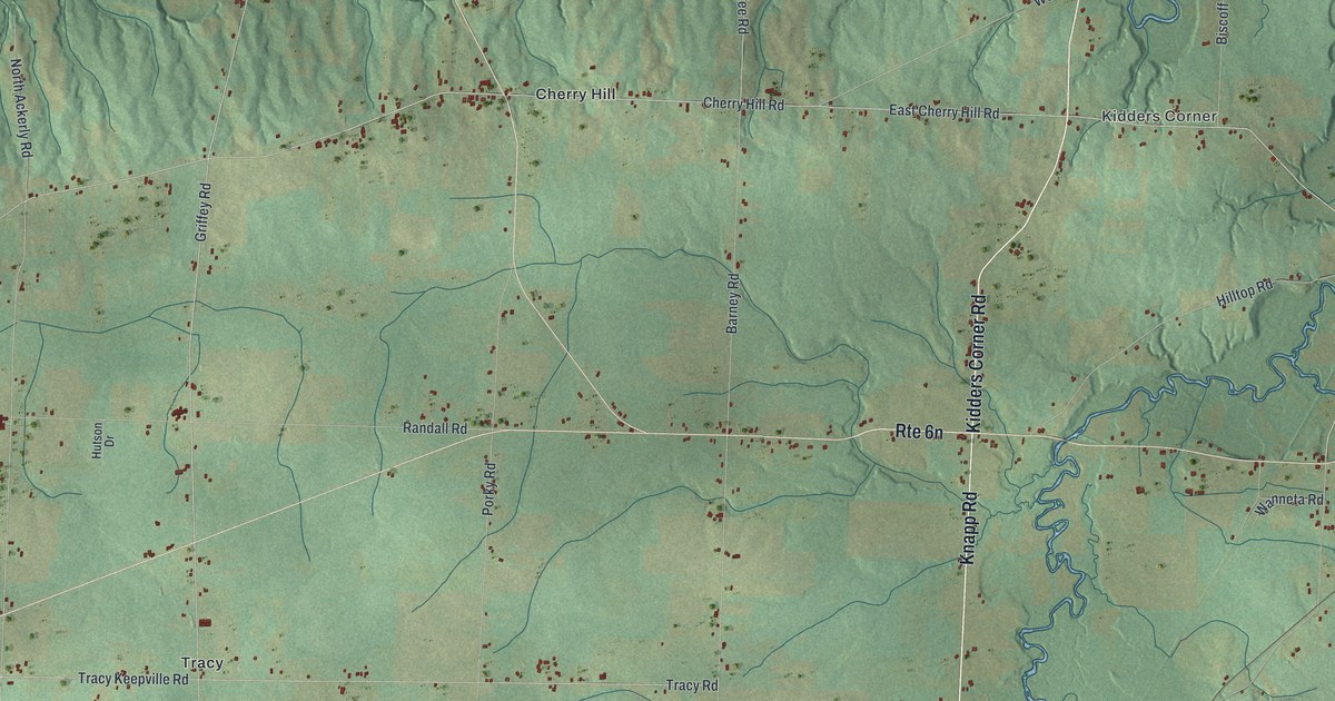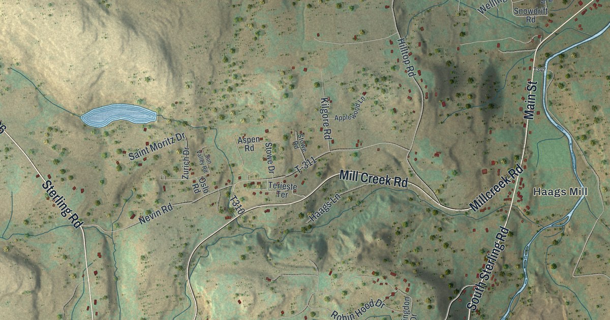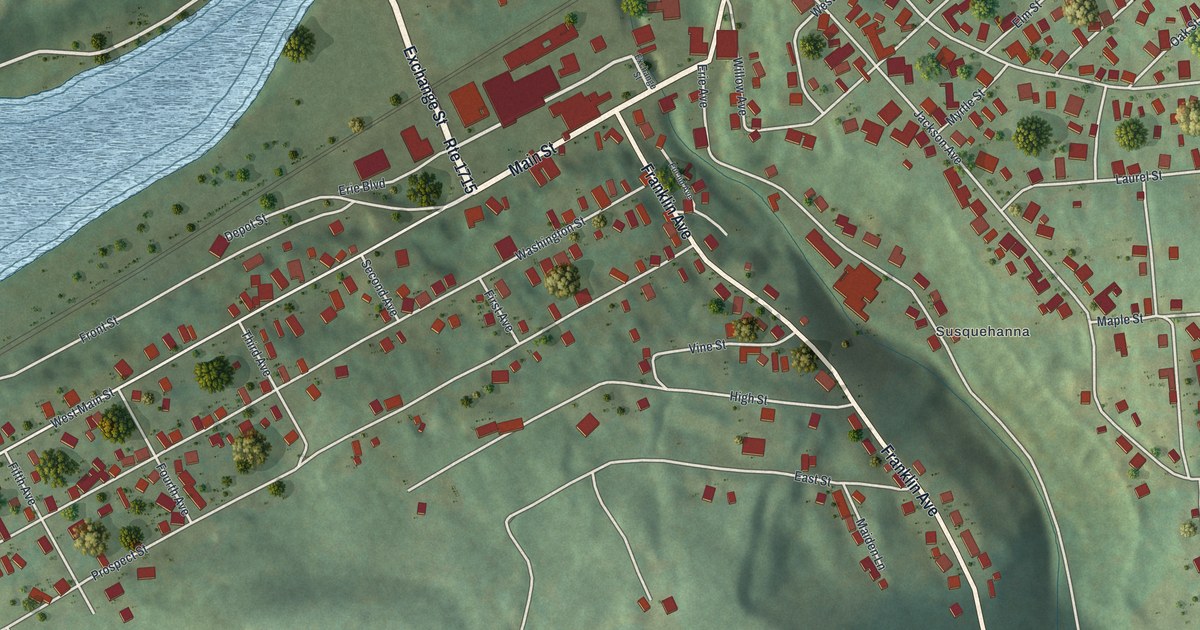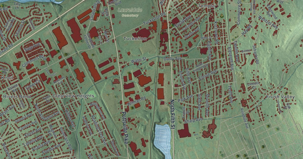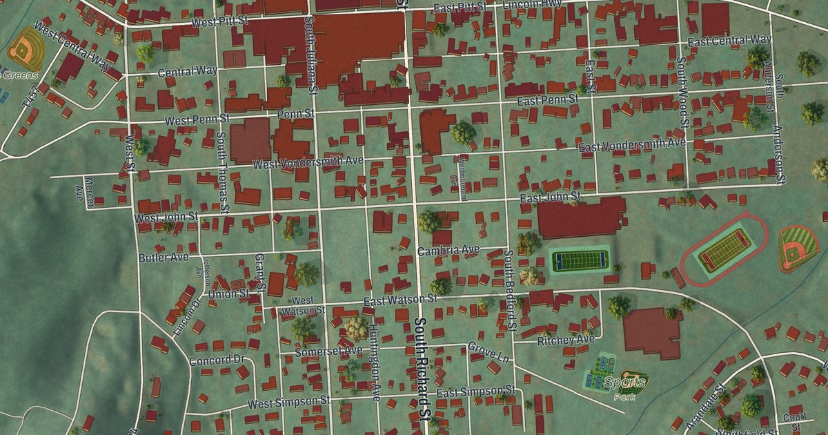
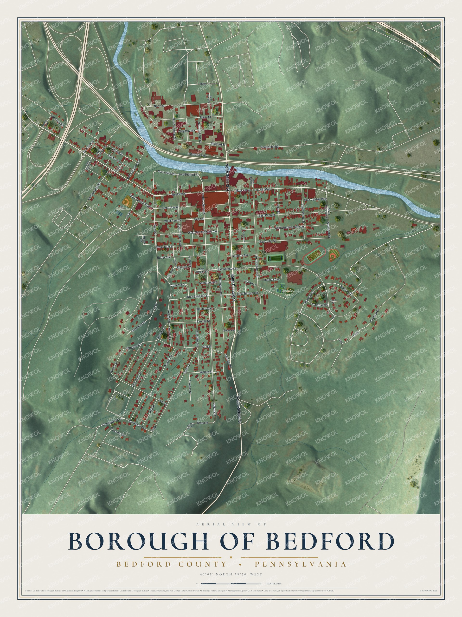
This beautifully detailed map of Bedford Borough, Pennsylvania was created in 2026 using aerial imagery combined with modern topographical, census, street and landmark data. It's a modern aerial view of Bedford Borough in Bedford County, Pennsylvania, that combines modern data with a vintage aesthetic. The roads feature printed names, and if you look closely you can find your exact house accurately shown in its correct location.
Explore an aerial view of Bedford Borough, Pennsylvania
On this map you'll find The Greens, Sports Park, South Richard Street, North Richard Street, West Pitt Street, West Street, North Juliana Street, North West Street, Fort Bedford Drive, South Juliana Street, West John Street, Juliana Street, and more. Each red shape is a building, so zoom in on the preview and look for yours.
Here is a piece of Bedford Borough history, in the words of the record. The Day's Historical Collections of Pennsylvania puts it this way: "Bedford, the county seat, is a flourishing borough, on the Chambersburg and Pittsburg turnpike, 200 miles from Philadelphia, and 100 from Pittsburg."
Bedford Borough is a borough in Bedford County. The Census Bureau counted 2,865 people here in 2020.
Take a closer look at the Bedford Borough map
Names on this map
These names are printed on this map.
Places: The Greens and Sports Park.
Streets and roads: South Richard Street, North Richard Street, West Pitt Street, West Street, North Juliana Street, North West Street, Fort Bedford Drive, South Juliana Street, West John Street, Juliana Street, Arandale Street, Lincoln Highway.
More street names, A to Z
Allegheny Avenue, Anderson Street, Barclay Drive, Barclay Street, Blackburn Avenue, Broad Street, Butler Avenue, Cambria Avenue, Central Way, Clarion Avenue, Concord Drive, Countrywood Lane, Court Street, Crestview Avenue, Cumberland Road, East Central Way, East John Street, East Penn Street, East Pitt Street, East Simpson Street, East Street, East Vondersmith Avenue, East Watson Street, Echo Vale Drive, Forbes Road, Forrest Avenue, Fulton Avenue, Fyan Lane, Grant Street, Green Avenue, Green Lane, Grove Lane, Hall Street, Hammer Street, Hench Street, Highland Drive, Huntingdon Avenue, Indiana Avenue, Industrial Avenue, Jefferson Avenue, Jefferson Drive, King Street, Lafayette Avenue, Lincoln Drive, Mann Street, McKean Avenue, Mercer Avenue, North Bedford Street, North Chamberlain Street, North Davidson Street, North George Street, North Street, North Thomas Street, Oakwood Drive, Old State Road, Penn Street, Preston Street, Railroad Street, Ritchey Avenue, Smithfield Street, Somerset Avenue, South Anderson Street, South Bedford Street, South Broad Street, South Chamberlain Street, South Thomas Street, South Wood Street, Springs Road, Spring Street, Sunnyside Road, Thomas Street, Union Street, Walnut Street, Watson Street, West Central Way, Westmoreland Avenue, West Penn Street, West Simpson Street, West Vondersmith Avenue, West Watson Street.
See it on a wall
The Bedford, Bedford County map as a framed print. Swipe for more.


Created by KNOWOL in 2026. The buildings are small red shapes, the roads carry their printed names, and shaded relief shows the shape of the land. The title panel reads "AERIAL VIEW OF BOROUGH OF BEDFORD, BEDFORD COUNTY • PENNSYLVANIA" with 40°01' NORTH 78°30' WEST.
It suits a den, a classroom or a front hall, and it makes a gift for anyone with Bedford Borough roots. Open the preview and find the block you know. See sizes and frames for the Borough of Bedford, Bedford County map.