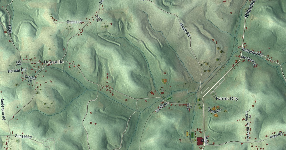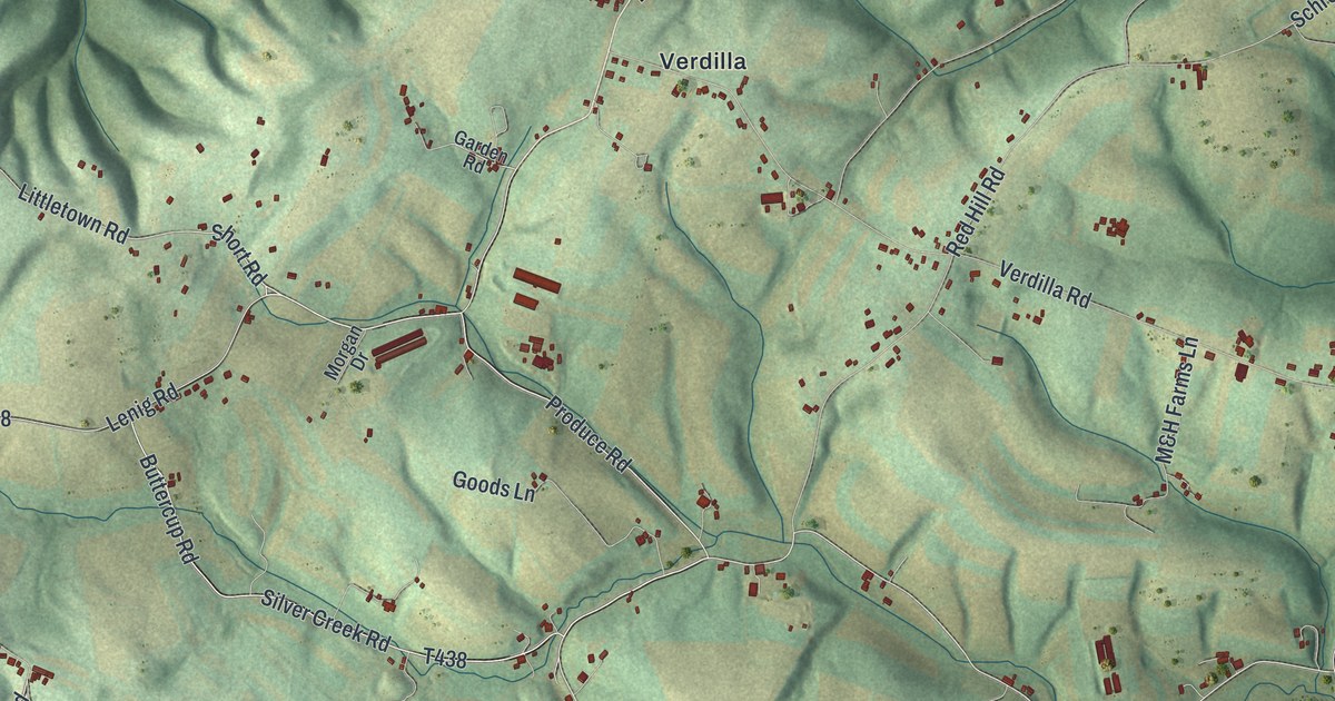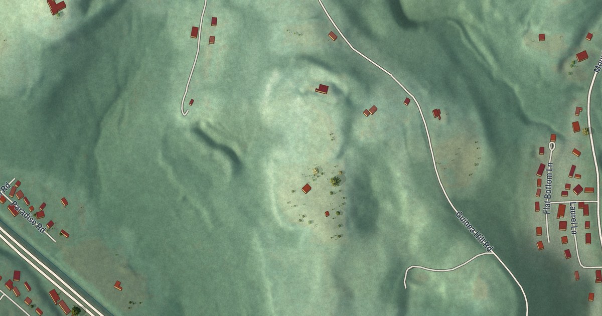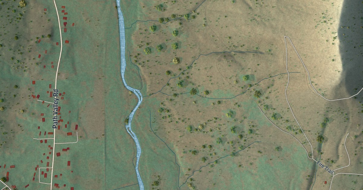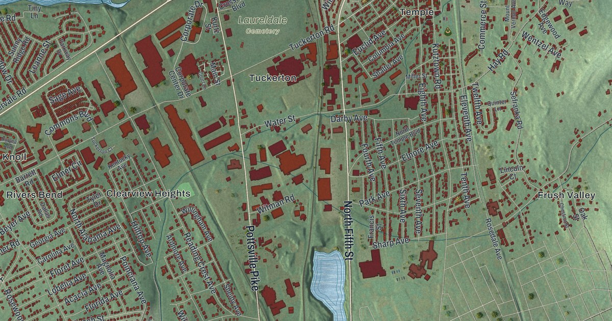
This beautifully detailed map of Muhlenberg, Pennsylvania was created in 2026 using aerial imagery combined with modern topographical, census, street and landmark data. It’s a one-of-a-kind view of Muhlenberg that combines accurate data with a vintage aesthetic. The map shows every building in its true location, many of the roads carry their names, and the shaded topographic relief shows the shape of the land.
Explore an aerial view of Muhlenberg, Pennsylvania
On the map you’ll find College Heights, Fox Chase, Laureldale Cemetery, Benharts, Bernharts, Cherokee Ranch, Clearview Heights, Frush Valley, Heather Knoll, Hyde Park, Hyde Villa, Muhlenberg Park, and more. If you look closely you can even find your house accurately drawn in its correct location. Zoom in on the preview to look for yours.
Did you know this piece of Muhlenberg, Pennsylvania history?
From Muhlenberg Township: "On May 18, 1850, a group met at Jacob Kerlin’s public house in Temple and formed a vigilance committee to continue advocating for the creation of a new township."
Take a closer look at the Muhlenberg map
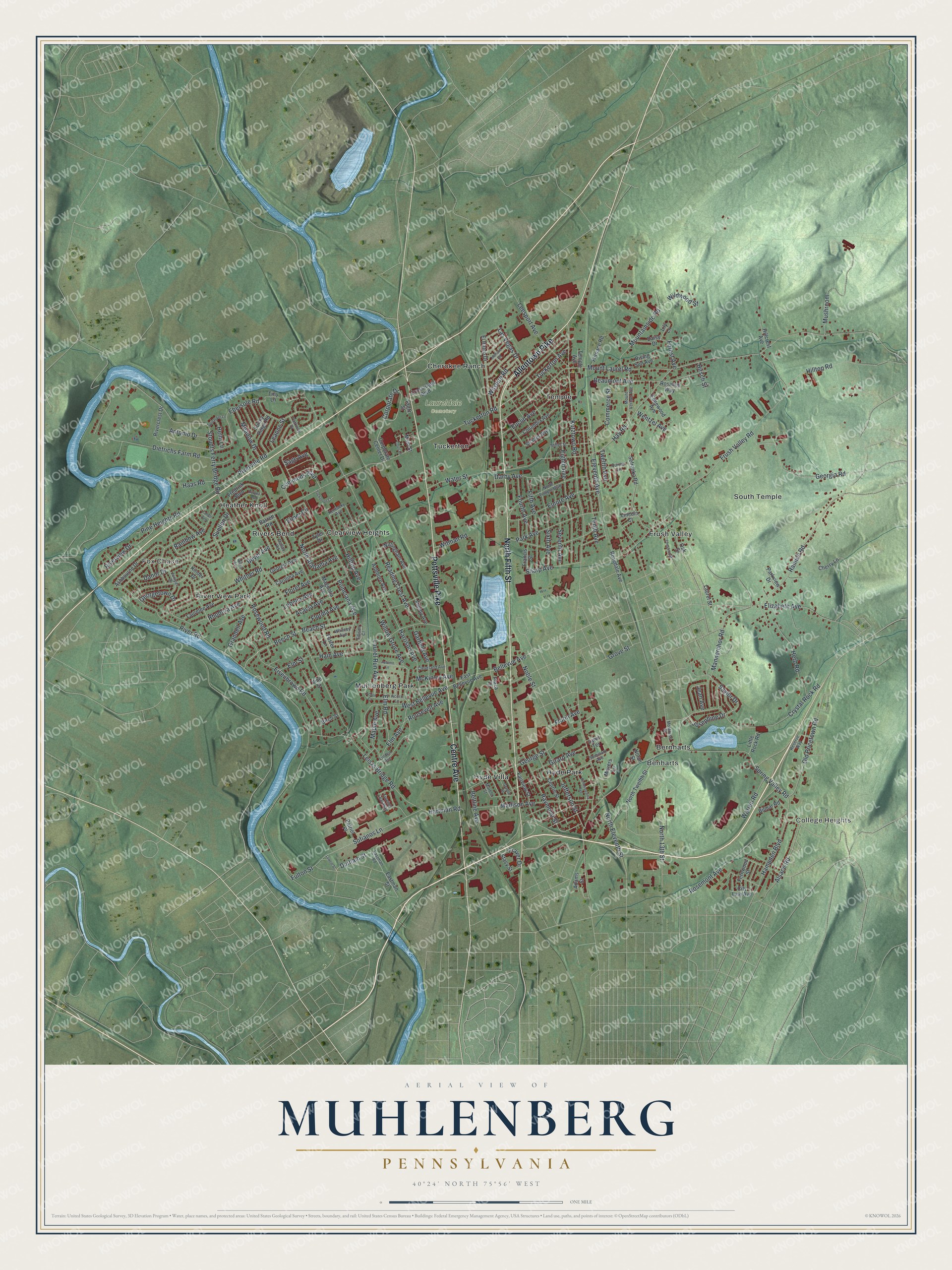
Street and place names on the Muhlenberg, Pennsylvania map
These names are printed on the map of Muhlenberg, Pennsylvania.
Places: College Heights, Fox Chase, Laureldale Cemetery, Benharts, Bernharts, Cherokee Ranch, Clearview Heights, Frush Valley, Heather Knoll, Hyde Park, Hyde Villa, Muhlenberg Park, River View Park, Rivers Bend, South Temple, Temple and Tuckerton.
Streets and roads: Allentown Pike, North Fifth Street, Pottsville Pike, Centre Avenue, Tuckerton Avenue, Durham Street, Josephine Drive, Saylor Drive, Hilltop Avenue, Tuckerton Road, Stoudts Ferry Bridge Road, Kutztown Road.
More street names, A to Z
Acacia Avenue, Acorn Court, Acorn Lane, Adams Street, Allen Avenue, Alsace Road, Antonio Drive, Ardmore Avenue, Ashbourne Drive, Autumn Lane, Barrett Road, Beach Street, Beaumont Avenue, Beech Street, Bellevue Avenue, Beltline Avenue, Beyer Avenue, Bilmar Road, Birch Street, Carolina Avenue, Centre Street, Cherry Lane, Chestnut Street, City Line Avenue, Cleveland Avenue, Columbia Avenue, Commerce Street, Commons Boulevard, Corporate Center Drive, Corporate Drive, Court Lane, Crossroads Boulevard, Crystal Rock Road, Daisy Drive, Dallas Road, Danor Drive, Darby Avenue, Dietrichs Farm Road, Duryea Avenue, East Bellevue Avenue, Eastman Road, Eastman Street, Ebersole Road, Edgewood Avenue, Edison Court, Eighth Avenue, Eisenbrown Road, Eleventh Avenue, El Hatco Drive, Elizabeth Avenue, Elm Avenue, Elmer Circle, Elm Road, Elm Street, Elnore Avenue, Euclid Avenue, Fairview Street, Fernwood Street, Fifth Avenue, Floret Avenue, Florida Avenue, Florin Avenue, Forest Avenue, Foster Lane, Fourth Avenue, Francis Street, Fraver Drive, Fredrick Boulevard, Frush Valley Road, Fulton Street, Furnace Road, Garfield Avenue, George Street, Georgetown Drive, Georgia Avenue, Georgia Road, Girard Avenue, Grandell Avenue, Granite Street, Grove Street, Haas Road, Hain Avenue, Hampden Boulevard, Harrison Avenue, Hartman Road, Hay Road, Helm Lane, Herb Road, Hillcrest Avenue, Hilltop Road, Hirsch Street, Jean Avenue, Jefferson Street, Juniper Drive, Kentucky Avenue, Kinder Drive, Kurtz Street, Lahall Avenue, Las Vegas Drive, Laurelee Avenue, Laurel Run Avenue, Laurel Street, Lawn Terrace, Leanne Street, Leesport Avenue, Leiszs Bridge Road, Lily Lane, Lincoln Court, Linden Avenue, Little Rock Road, Lobelia Avenue, Lowrie Street, Madison Avenue, Magnolia Avenue, Main Street, Mannerchor Road, Maple Avenue, Marble Street, McKinley Avenue, Meadow Drive, Miller Street, Mohave Road, Montrose Street, Mountainside Road, Mount Laurel Road, Mount Vernon Avenue, Moyers Lane, Mushroom, Noble Street, Nolan Street, North 13th Street, North Alabama Avenue, North Eleventh Street, North Temple Boulevard, North Twelfth Street, Oak Street, Old Pricetown Road, Park Avenue, Parkview Drive, Parkway Drive, Patriot Place, Pennsylvania Avenue, Pine Heights Road, Plaza Drive, Poinciana Avenue, Quinter Lane, Rainbow Avenue, Ramich Road, Raymond Street, Reading Crest Avenue, Reserve Way, Rhodora Avenue, Rising Sun Avenue, Rivercrest Drive, River Road, Rivervale Road, Riverview Drive, Roosevelt Avenue, Rosalies Way, Rosedale Avenue, Rosemont Avenue, Rosewood Road, Sage Avenue, Sefranka Road, Seminary Avenue, Seventh Avenue, Shalter Avenue, Sharp Avenue, Sheidy Avenue, Sixth Avenue, Sofianos Lane, Spinacker Lane, Spring Valley Road, Stacy Street, Suellen Drive, Sunny Ridge Road, Temple Avenue, Tenth Avenue, Tiny Lane, Tuckerton Court, Turning Leaf Way, Twelfth Avenue, Tyler Drive, Vine Street, Warren Road, Water Street, Wentzel Avenue, West Bellevue Avenue, Whitner Road, Whitney Avenue, Wildwood Street, Willingham Avenue, Willow Grove Avenue, Wilshire Road, Witman Road.
See the Muhlenberg, Pennsylvania map on a wall
The Muhlenberg map as an 18 x 24 inch print in a black frame.

This beautifully detailed map of Muhlenberg makes an attractive addition to your office, library, or den, and it can even be used to teach children the geography and history of the area. It also makes a great gift for anyone who grew up in Muhlenberg or moved away. When you’re done exploring, click here to get your copy of the Muhlenberg map.