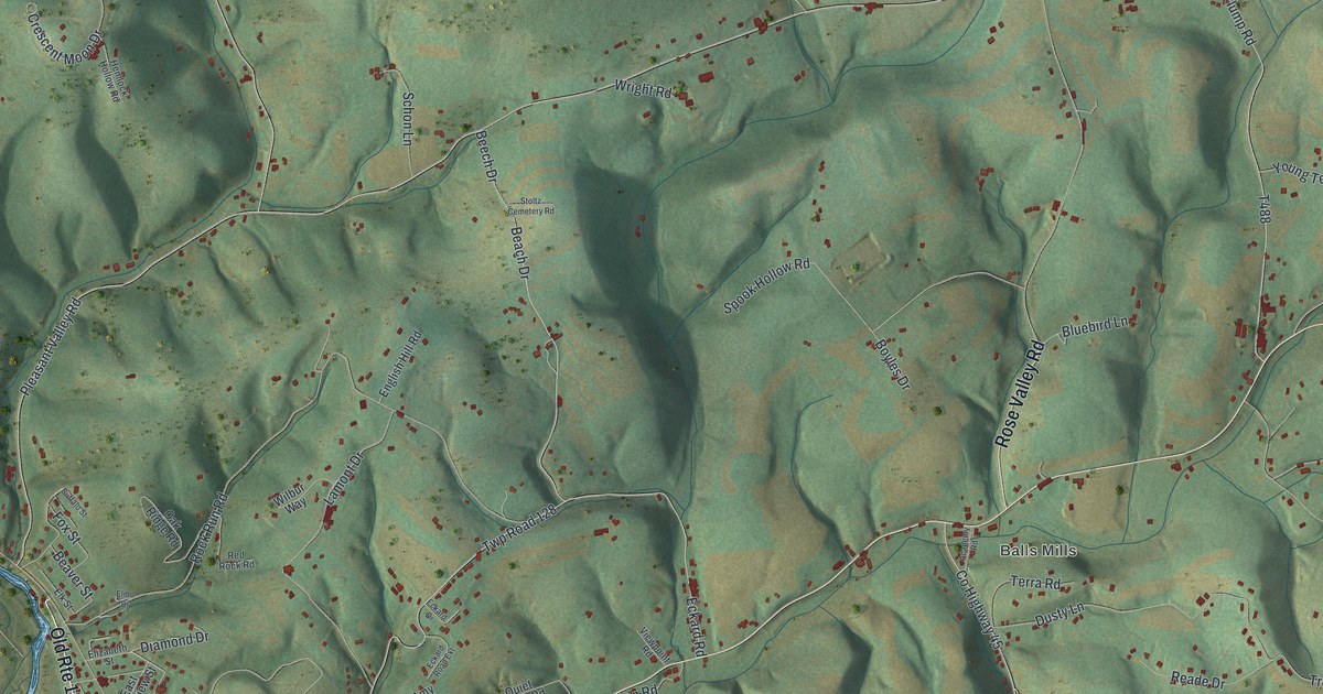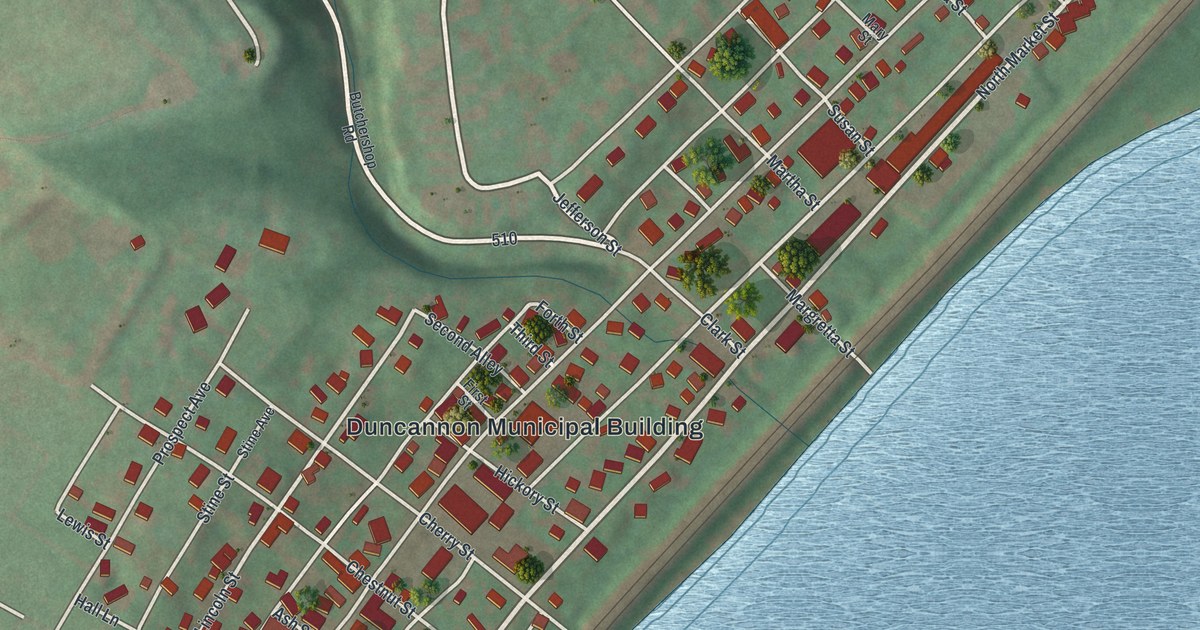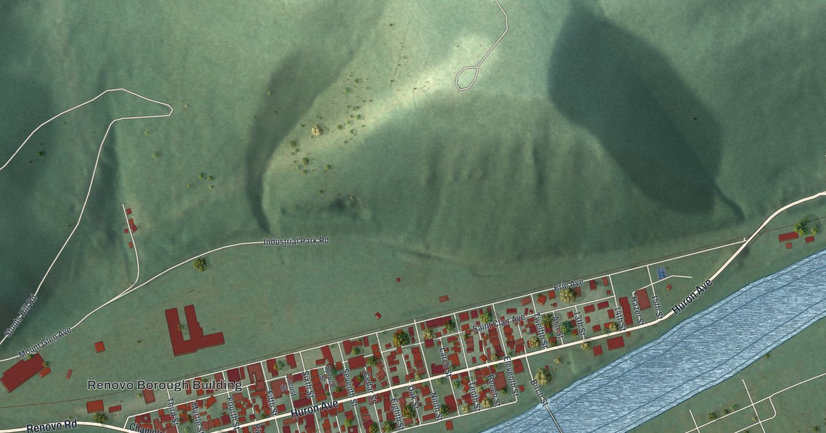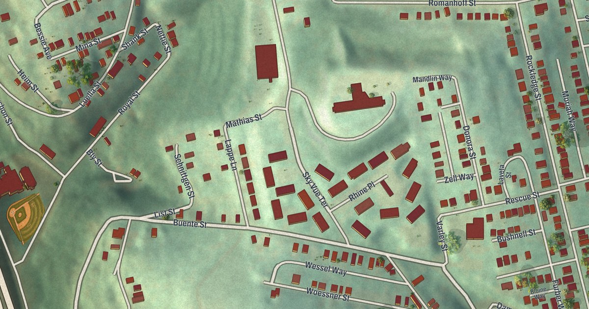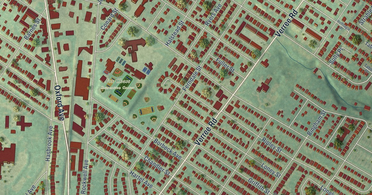
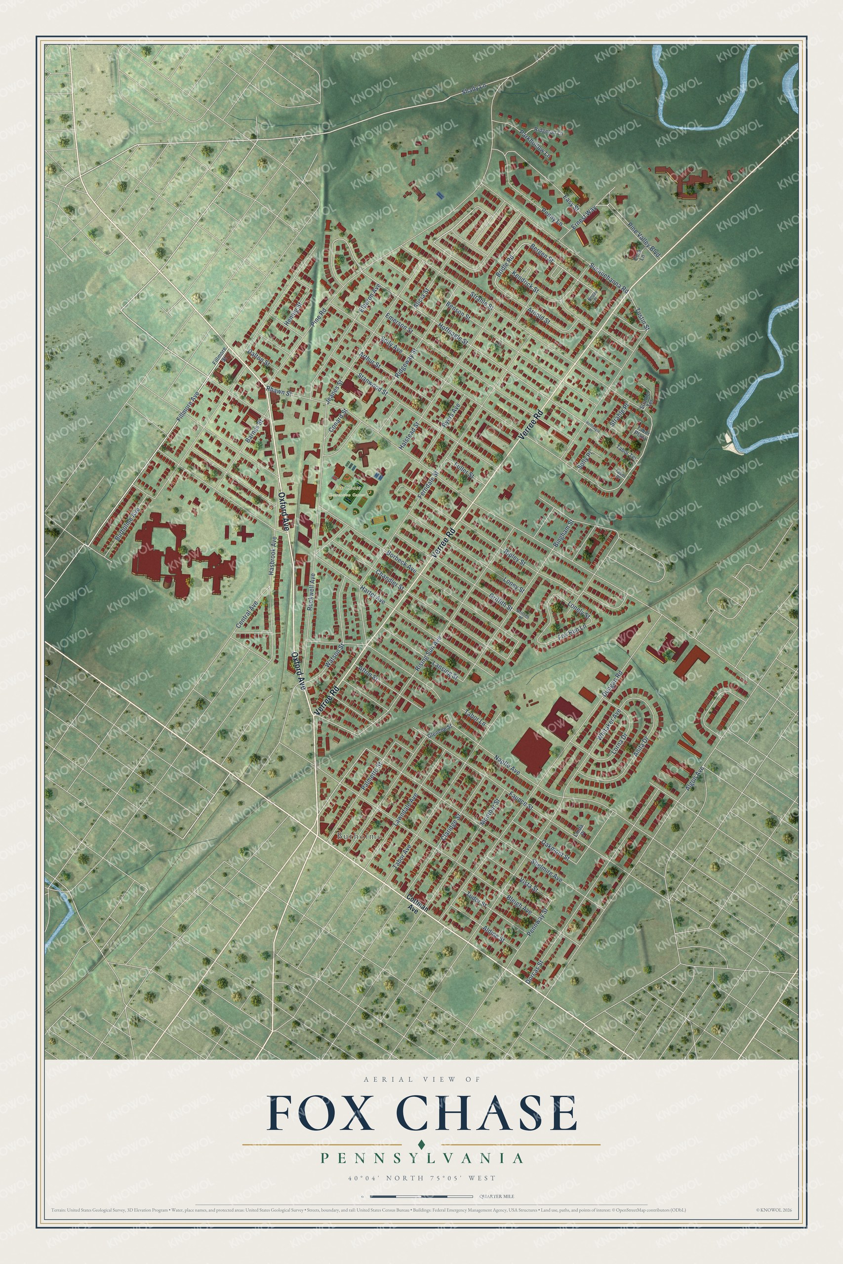
This beautifully detailed map of Fox Chase, Pennsylvania was created in 2026 using aerial imagery combined with modern topographical, census, street and landmark data. It’s a one-of-a-kind view of Fox Chase that combines accurate data with a vintage aesthetic. The map shows every building in its true location, many of the roads carry their names, and the shaded topographic relief shows the shape of the land.
Explore an aerial view of Fox Chase, Pennsylvania
On the map you’ll find Fox Chase Recreation Center and Burholme, along with Verree Road, Oxford Avenue, Shelmire Avenue, Shady Lane, Pine Valley Boulevard, Jeanes Street, Bridle Road, Fillmore Avenue, Arnold Street, Rising Sun Avenue, and more. If you look closely you can even find your house accurately drawn in its correct location. Zoom in on the preview to look for yours.
Did You Know?
From Internet Archive: "One is located in West Fail-mount Park, connected with the Belmont filters and supplies Overbrook and adjacent areas. 36 Frankford High Service station is in the Torresdale district and supplies Fox Chase, etc."
Fox Chase is a place in Philadelphia County.
Take a closer look at the Fox Chase map
Names on this map
These names are printed on this map.
Places: Fox Chase Recreation Center and Burholme.
Streets and roads: Verree Road, Oxford Avenue, Shelmire Avenue, Shady Lane, Pine Valley Boulevard, Jeanes Street, Bridle Road, Fillmore Avenue, Arnold Street, Rising Sun Avenue, Tabor Avenue, Dorcas Street.
More street names, A to Z
Afton Street, Aldine Street, Algon Avenue, Alicia Street, Anita Drive, Arthur Street, Barnes Street, Benson Street, Bergen Place, Bergen Street, Bingham Street, Bleigh Avenue, Borbeck Avenue, Burholme Avenue, Central Avenue, Chandler Street, Claridge Street, Conard Street, Cora Lane, Cottman Avenue, Dalton Street, Dungan Road, Easy Street, Elberon Avenue, Emerson Street, Ernest Way, Faunce Street, Ferndale Street, Fillmore Street, Fox Run Lane, Fuller Street, Glencoe Street, Griffith Place, Griffith Street, Halstead Street, Hartel Avenue, Hasbrook Avenue, Hennig Street, Hoffnagle Place, Hoffnagle Street, Kendrick Street, Lansing Street, Lawndale Avenue, Linda Place, Lonely Street, Loney Street, Lorna Drive, Montour Street, Napfle Avenue, Oakmont Street, Palmetto Street, Parkhollow Lane, Pennway Street, Penny Lane, Pine Road, Rhawn Street, Ridgerun Lane, Ridgeway Street, Ripley Street, Rockwell Avenue, Ryers Avenue, Solly Avenue, Solly Place, Stanwood Street, Strahle Place, Strahle Street, Strahle Terrace, Susquehanna Road, Tabor Lane, Tabor Place, Tabor Plaza, Tabor Terrace, Tudor Street, Tustin Street, Vista Street, Watson Street, Whitaker Avenue.
See it on a wall
The Fox Chase, Philadelphia map as a framed print. Swipe for more.


This beautifully detailed map of Fox Chase, Philadelphia makes an attractive addition to your office, library, or den, and it can even be used to teach children the geography and history of the area. It also makes a great gift for anyone who grew up in Fox Chase or moved away. When you’re done exploring, click here to get your copy of the Fox Chase, Philadelphia map.