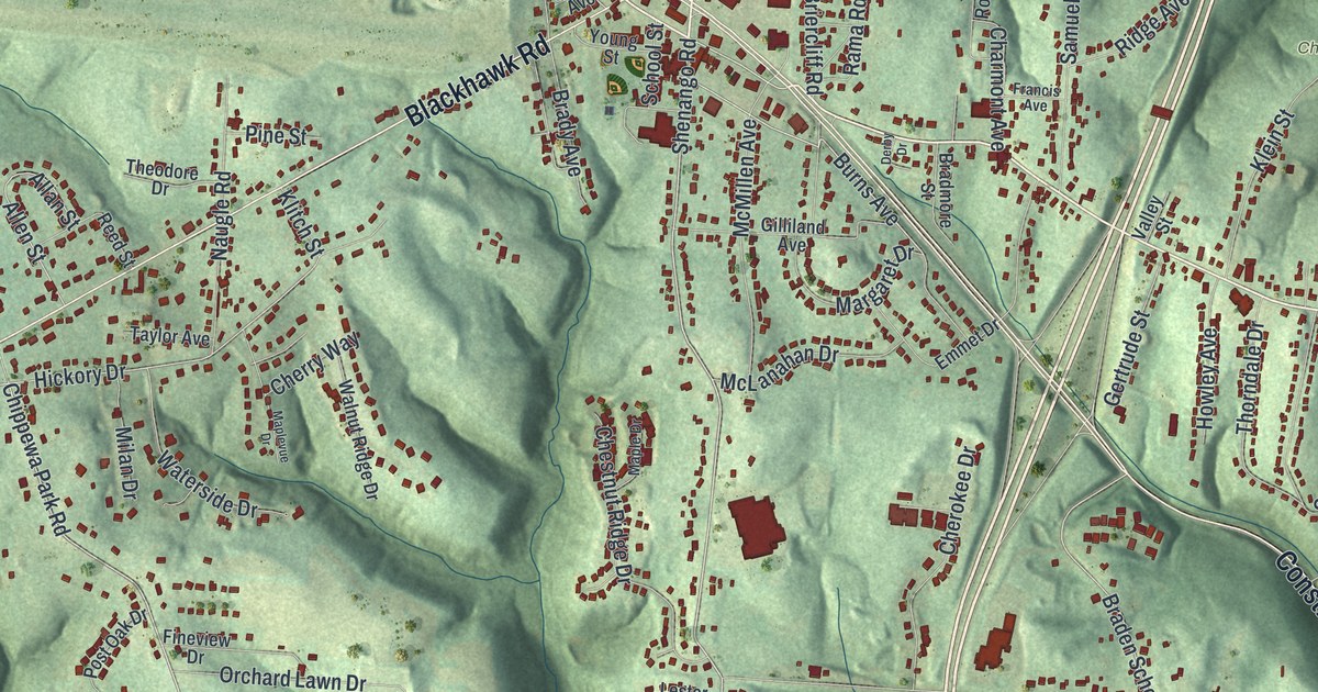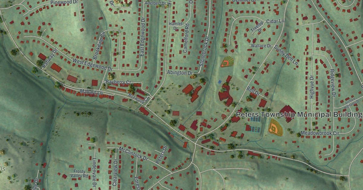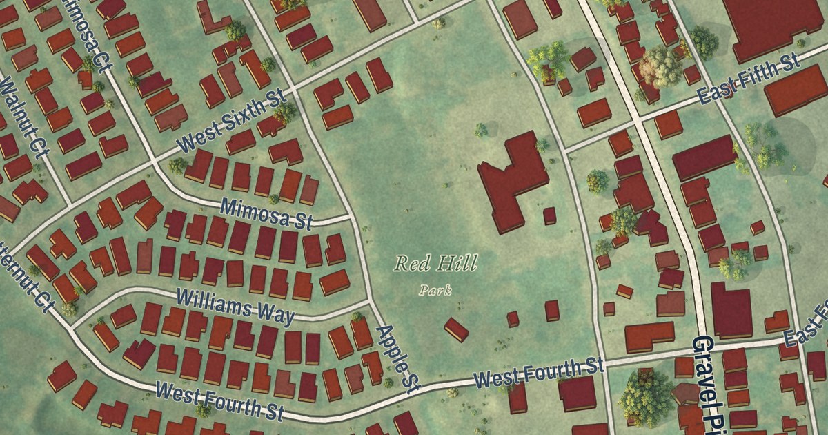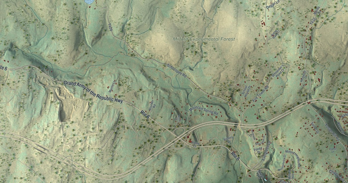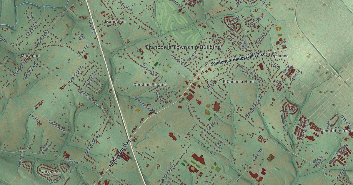
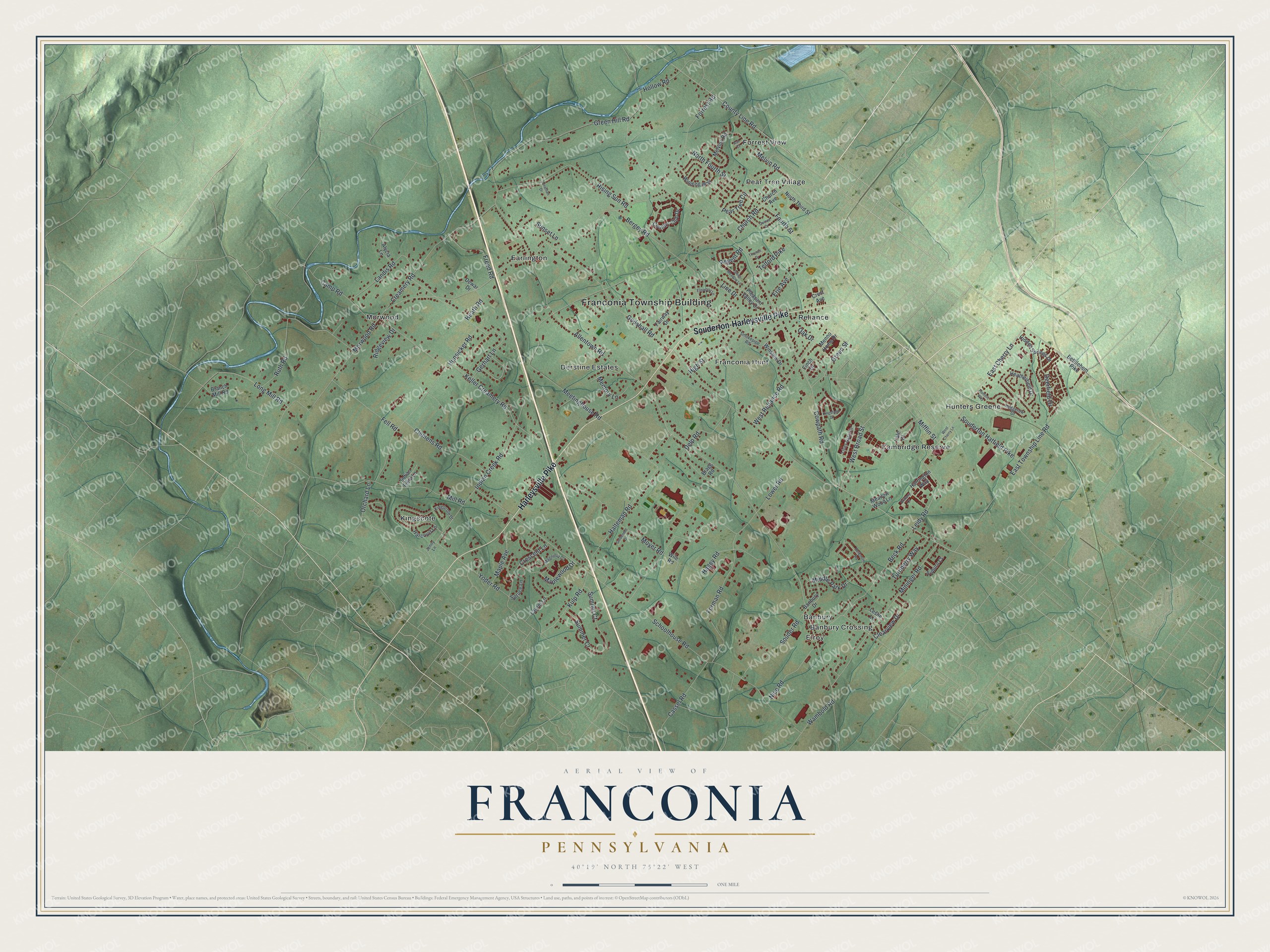
This beautifully detailed map of Franconia, Pennsylvania was created in 2026 using aerial imagery combined with modern topographical, census, street and landmark data. It’s a one-of-a-kind view of Franconia that combines accurate data with a vintage aesthetic. The map shows every building in its true location, many of the roads carry their names, and the shaded topographic relief shows the shape of the land.
Explore an aerial view of Franconia, Pennsylvania
On the map you’ll find Franconia Township Building, Banbury, Banbury Crossing, Cambridge Reserve, Derstine Estates, Earlington, Elroy, Forrest View, Franconia Hunt, Hunters Greene, Kingscote, Morwood, and more. If you look closely you can even find your house accurately drawn in its correct location. Zoom in on the preview to look for yours.
Did you know this piece of Franconia, Pennsylvania history?
From the 1884 History of Montgomery County, Pennsylvania: "Franeonia Square and Franconiaville are old-time land-marks, founded by the opening of hotels, stores, mechanical industries and post-offices, the origin of which is now scarcely known to the oldest inhabitant of the vicinity."
Take a closer look at the Franconia map
Street and place names on the Franconia, Pennsylvania map
These names are printed on the map of Franconia, Pennsylvania.
Places: Franconia Township Building, Banbury, Banbury Crossing, Cambridge Reserve, Derstine Estates, Earlington, Elroy, Forrest View, Franconia Hunt, Hunters Greene, Kingscote, Morwood, Pear Tree Village and Reliance.
Streets and roads: Harleysville Pike, Souderton-Harleysville Pike, Cowpath Road, West Broad Street, County Line Road, East Cherry Lane, Church Road, Leidy Road, Allentown Road, Morwood Road, Schoolhouse Road, Godshall Road.
More street names, A to Z
Alycia Lane, Ash Court, Auburn Court, Banbury Drive, Beck Road, Bergey Road, Berkshire Road, Bethlehem Pike, Bragg Road, Branch Mill Road, Brittany Court, Camp Road, Cassel Road, Church Avenue, Clearview Drive, Clemens Road, Country Club Drive, Creamery Road, Crescent Lane, Crest Avenue, Deerfield Drive, Delp Road, Dewar Drive, East Township Line Road, Elmwood Lane, Erie Avenue, Fairway Drive, Fell Road, Finch Drive, Forman Road, Forrest Road, Fourth Street, Freed Road, Gerhart Lane, Goldenrod Drive, Green Hill Road, Green Meadow Lane, Green Street, Hagey Road, Halteman Road, Harcourt Lane, Harrington Way, Heatherfield Drive, Heath Road, Hedgerow Drive, Hidden Springs Drive, High Street, Hollow Road, Hunsicker Road, Hunters Way, Indian Creek Road, Indian Field Lane, Jenny Lane, Jonathan Drive, Keller Creamery Road, Kingscote Drive, Kingsfield Drive, Kulp Road, Landis Road, Laurel Lane, Leslie Lane, Line Drive, Lions Gate Circle, Long Mill Road, Lower Road, Magnolia Court, Maple Avenue, Maplewood Drive, Meadow Wood Lane, Meetinghouse Road, Melvin Road, Melvins Road, Memory Lane, Menno Home Drive, Middle Park Drive, Mifflin Street, Mill Road, Mininger Road, Moyer Road, Nice Road, North Fourth Street, North Third Street, Oak Drive, Orchard Lane, Pear Tree Circle, Pleasant Valley Drive, Quince Drive, Regent Road, Ridgeview Drive, Rising Sun Road, Ruth Road, Smokepipe Road, Souder Road, Souderton Hatfield Pike, Spruce Lane, Summer Court, Sumner Court, Sunset Lane, Telford Pike, Thomas Drive, Turnberry Way, Wambold Road, West Cherry Lane, West Reliance Road, Wile Road, Winding Way, Winslow Drive, Yale Court, Yoder Road.
See the Franconia, Pennsylvania map on a wall
The Franconia map as an 18 x 24 inch print in a black frame.

This beautifully detailed map of Franconia makes an attractive addition to your office, library, or den, and it can even be used to teach children the geography and history of the area. It also makes a great gift for anyone with Franconia roots. When you’re done exploring, click here to get your copy of the Franconia map.