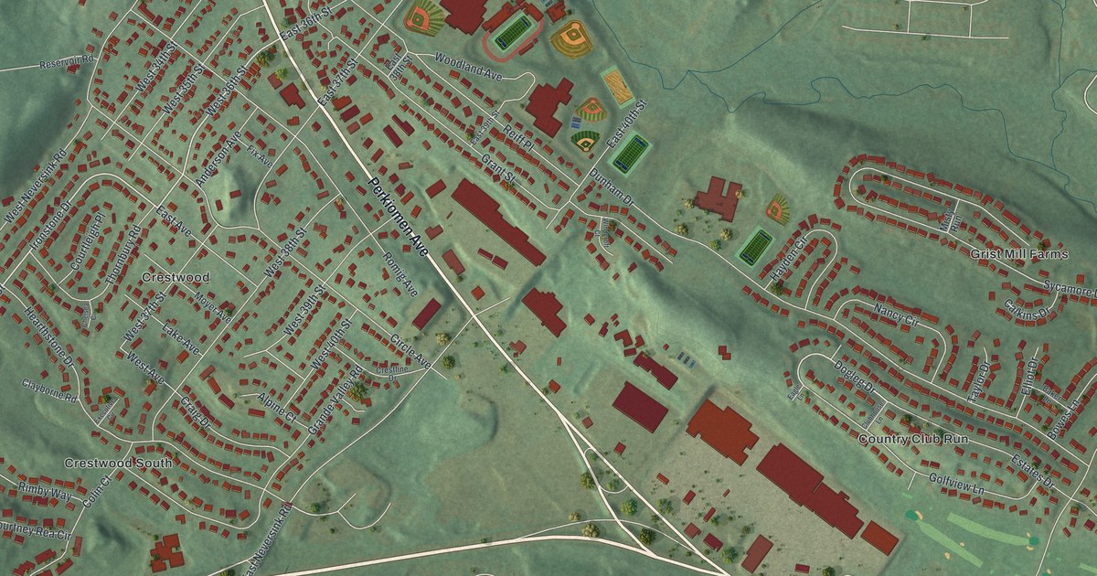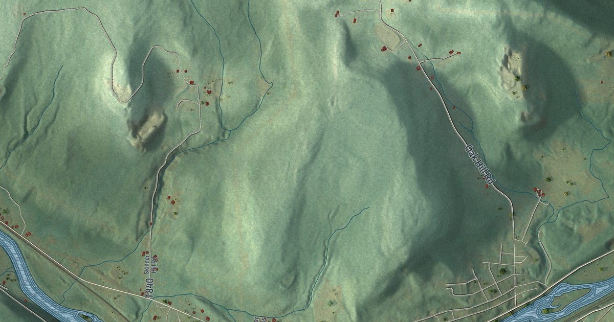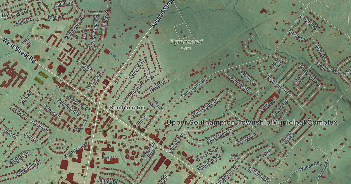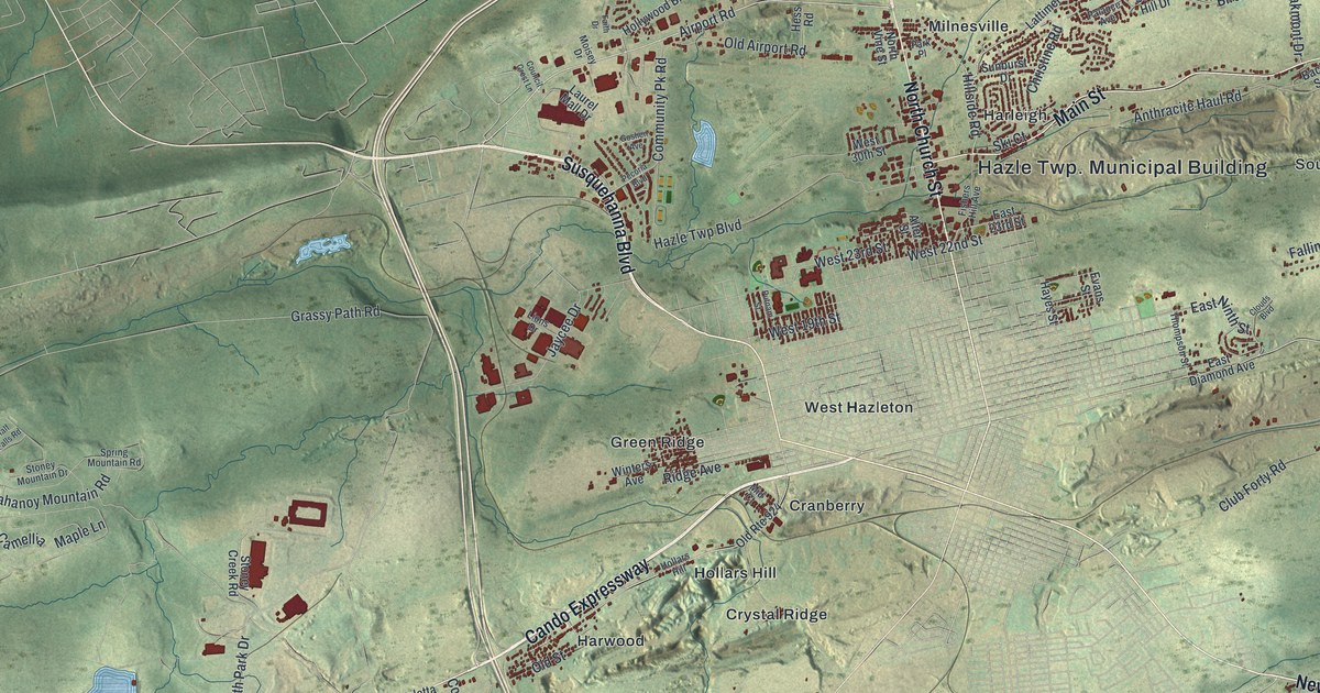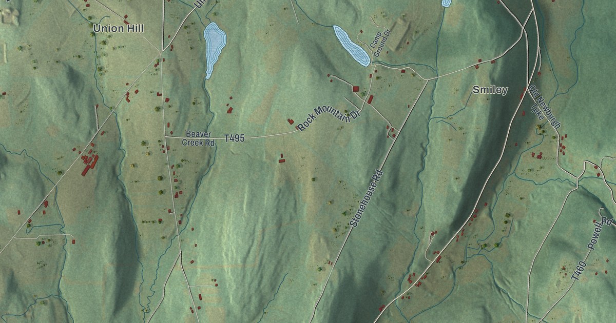
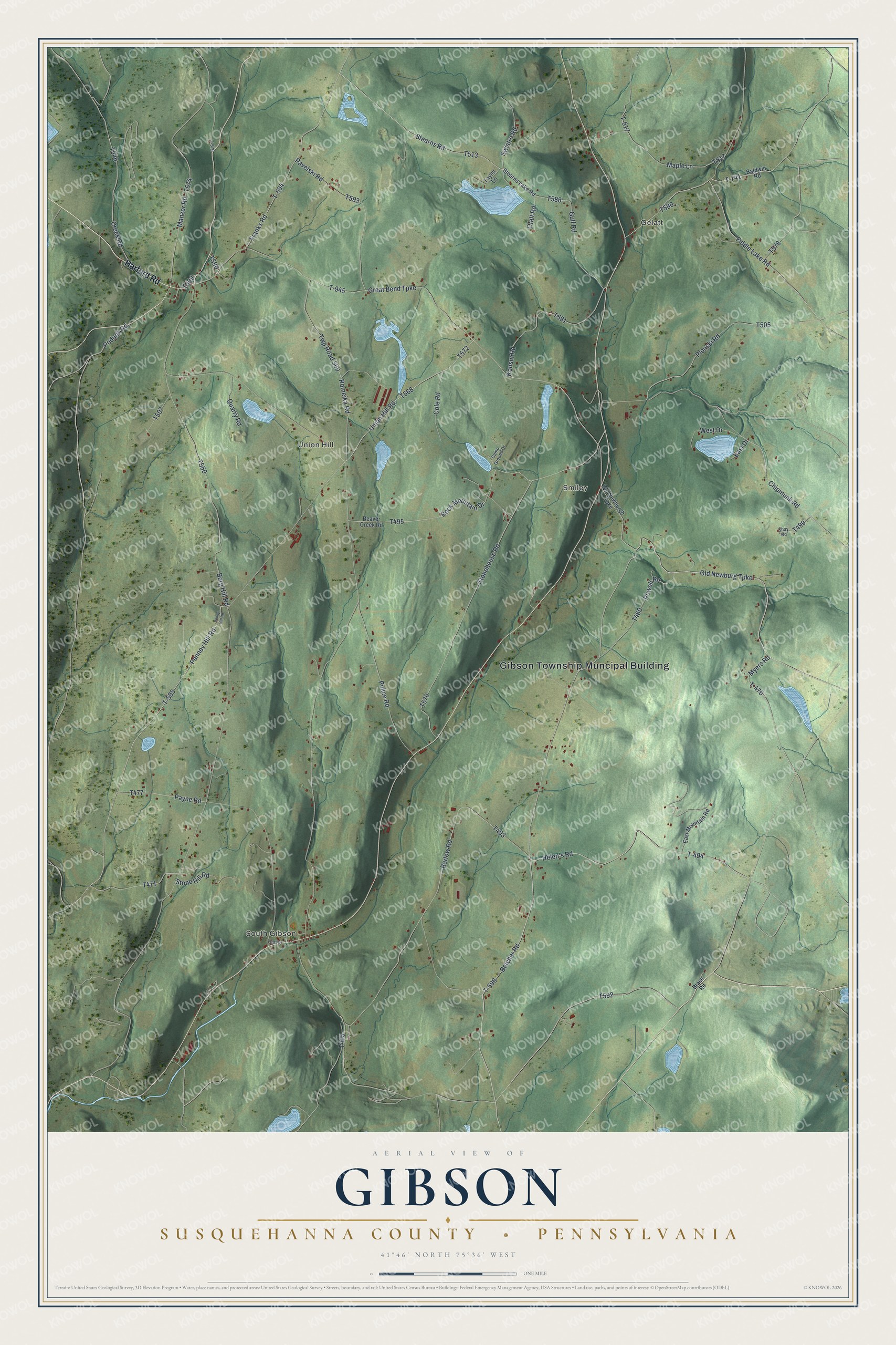
This beautifully detailed map of Gibson, Susquehanna County, Pennsylvania was created in 2026 using aerial imagery combined with modern topographical, census, street and landmark data. It’s a one-of-a-kind view of Gibson that combines accurate data with a vintage aesthetic. The map shows every building in its true location, many of the roads carry their names, and the shaded topographic relief shows the shape of the land.
Explore an aerial view of Gibson, Susquehanna County, Pennsylvania
On the map you’ll find Gibson Township Muncipal Building, South Gibson, Gelatt, Smiley, Union Hill, and T-494, along with Harford Road, Old Newburg Turnpike, Helen’s Road, Penney Hill Road, and more. If you look closely you can even find your house accurately drawn in its correct location. Zoom in on the preview to look for yours.
Did you know this piece of Gibson, Susquehanna County, Pennsylvania history?
The township was named to honor John B. Gibson, then president judge of the district and later Chief Justice of Pennsylvania. In November 1812 the court was asked to make Gibson from the north half of Clifford. Joseph Potter of Ballston Spa, New York, was farming here by 1793. One winter his family waited in a doorless cabin. That’s from the 1873 History of Susquehanna County, Pennsylvania.
Take a closer look at the Gibson, Susquehanna County map
Street and place names on the Gibson, Susquehanna County, Pennsylvania map
These names are printed on the map of Gibson, Susquehanna County, Pennsylvania.
Places: Gibson Township Muncipal Building, South Gibson, Gelatt, Smiley and Union Hill.
Streets and roads: Harford Road, Old Newburg Turnpike, T-494, Helen's Road, Penney Hill Road, Union Hill Road, Powell Road, T-517, T-741, Fiddle Lake Road, Chipmunk Road, Great Bend Turnpike.
More street names, A to Z
Baldwin Road, Barlow Road, Beaver Creek Road, Belcher Road, Berg Hill Road, Brace Road, Camp Ground Drive, Cole Road, Creek Road, East Drive, East Mountain Road, Franks Road, Gulf Road, Konsur Road, Manzer Road, Maple Lane, Myers Road, Ofalt Road, Old Newburgh Turnpike, Old Road, Pavelski Road, Payne Road, Penny Hill Road, Plonski Road, Podunk Road, Pulice Road, Quarry Road, Rock Mountain Drive, Romeika Road, Shay Road, Stearns Lake Road, Stearns Road, Stone Hill Road, Stonehouse Road, Swistro Road, T-470, T-576, T-594, T-595, T-596, T-945, Taylor Lane, Twp Road 560, West Drive.
See the Gibson, Susquehanna County, Pennsylvania map on a wall
The Gibson, Susquehanna County map as an 18 x 24 inch print in a black frame.

This beautifully detailed map of Gibson, Susquehanna County makes an attractive addition to your office, library, or den, and it can even be used to teach children the geography and history of the area. It also makes a great gift for someone who left Gibson and still calls it home. When you’re done exploring, click here to get your copy of the Gibson, Susquehanna County map.