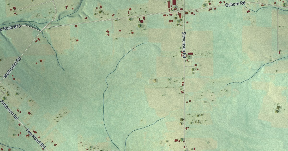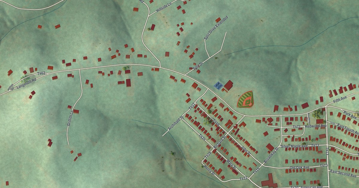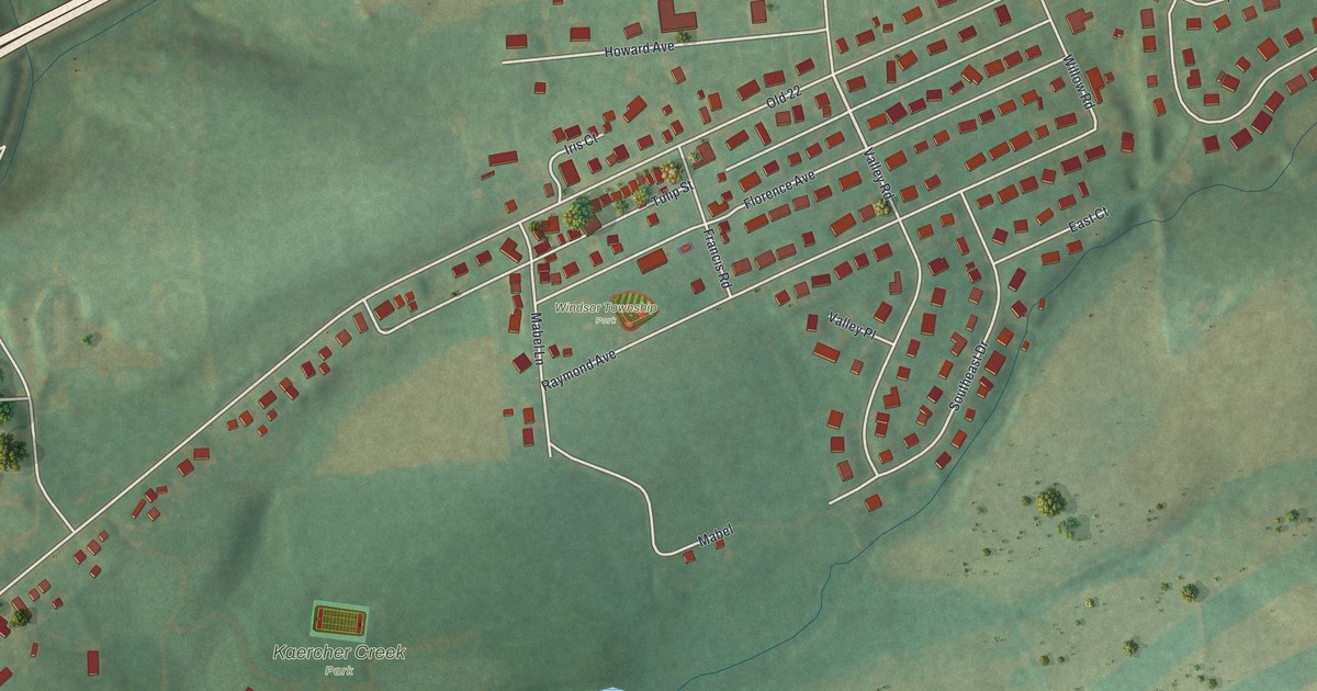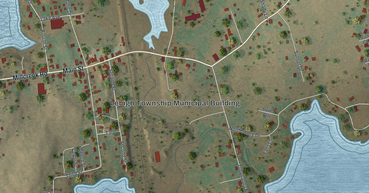
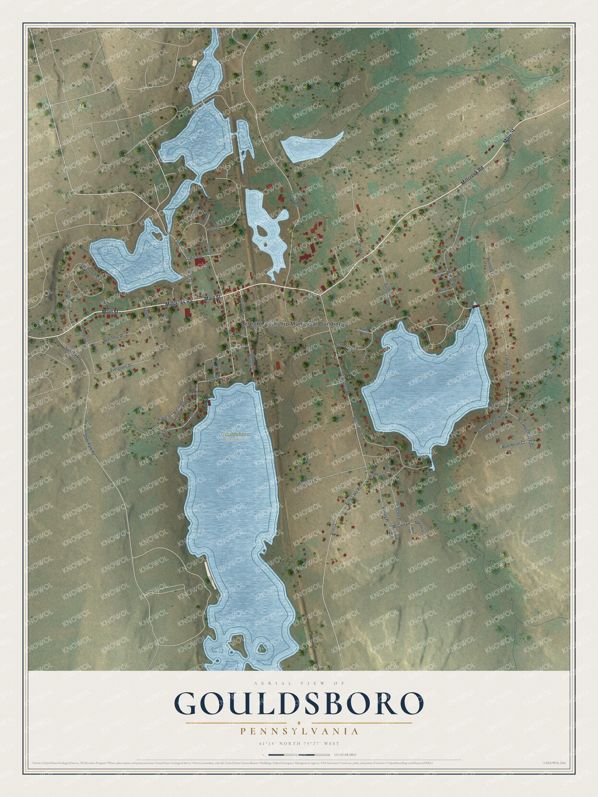
This beautifully detailed map of Gouldsboro, Pennsylvania was created in 2026 using aerial imagery combined with modern topographical, census, street and landmark data. It's a modern aerial view of Gouldsboro in Wayne County, Pennsylvania, that combines modern data with a vintage aesthetic. The roads feature printed names, and if you look closely you can find your exact house accurately shown in its correct location.
Explore an aerial view of Gouldsboro, Pennsylvania
On this map you'll find Lehigh Township Municipal Building, Gouldsboro State Park, Millcreek Road, Main Street, Fourth Street, Lakeview Timbers Drive, North Shore Drive, State Park Road, T303, Tobyhanna Road, Echo Lake Road, Sr4013, and more. Each red shape is a building, so zoom in on the preview and look for yours.
Gouldsboro is a community in Wayne County. The Census Bureau counted 750 people here in 2020. Gouldsboro sits about 2 miles east of Big Bass Lake, 3 miles southeast of Eagle Lake and 3 miles southwest of Pocono Springs. The map prints the town name in its title panel, with the coordinates below it.
Take a closer look at the Gouldsboro map
Names on this map
These names are printed on this map.
Places: Lehigh Township Municipal Building and Gouldsboro State Park.
Streets and roads: Millcreek Road, Main Street, Fourth Street, Lakeview Timbers Drive, North Shore Drive, State Park Road, Tobyhanna Road, Echo Lake Road, Sr4013, Glenside Drive, Third Street, Lehigh Road.
More street names, A to Z
Bass Court, Beechnut Drive, Beech Street, Bender Road, Blue Heron Court, Cedar Street, Cherry Lane, Evergreen Drive, Falls Lane, Fifth Street, Halsey Place, Hemlock Court, John Drive, Joseph Lane, Kerr Lane, Lake Avenue, Lincoln Place, Louis Lane, Mazurik Lane, McCain Lane, Nimitz Lane, Park Street, Perch Court, Ridge Road, Ridge Street, Robert Lane, Saint Pk Road, Second Street, Seip Drive, Shady Lane, Sprvance Lane, Stems Way, Sunset Drive, Thomas Lane, Vine Street, Walters Lane, Watawga Way East, Watawga Way West, Westwood Drive, Wildflower Circle.
See it on a wall
The Gouldsboro map as a framed print. Swipe for more.


Created by KNOWOL in 2026. The buildings are small red shapes, the roads carry their printed names, and shaded relief shows the shape of the land. The title panel reads "AERIAL VIEW OF GOULDSBORO, PENNSYLVANIA" with 41°15' NORTH 75°27' WEST.
It looks right in a kitchen, an office or a den, and it's a gift for anyone who grew up in Gouldsboro or moved away. Open the preview and find your street. See sizes and frames for the Gouldsboro map.