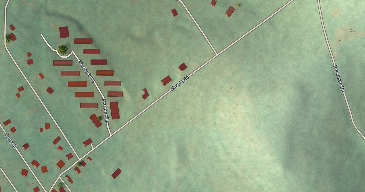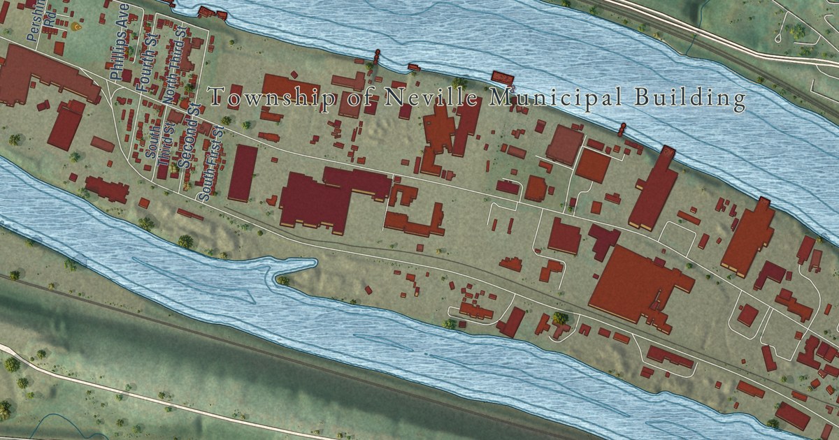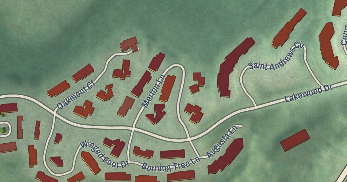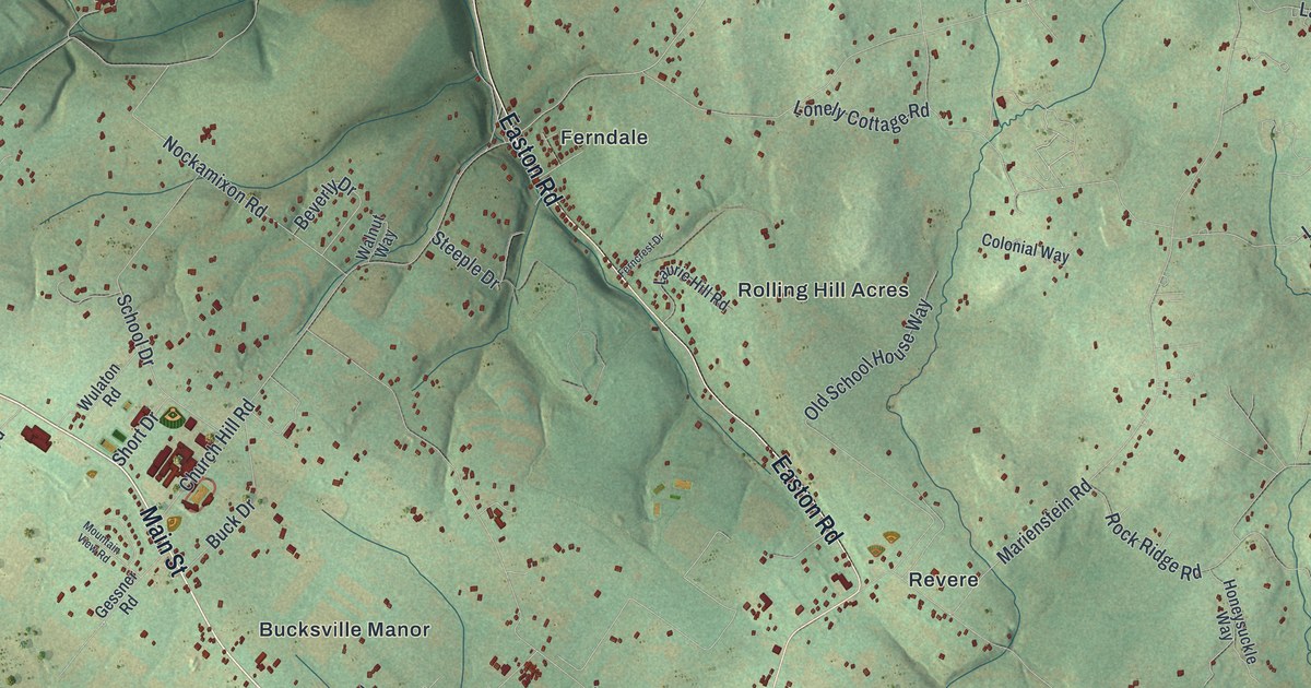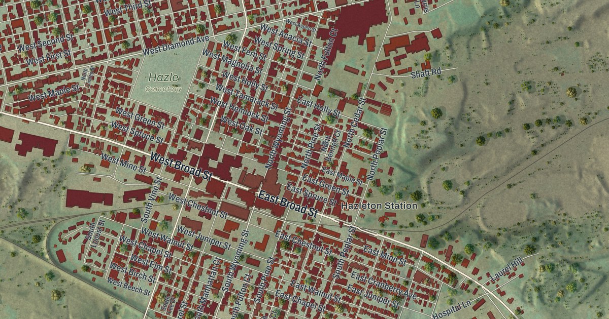
This beautifully detailed map of Hazleton, Pennsylvania was created in 2026 using aerial imagery combined with modern topographical, census, street and landmark data. It’s a one-of-a-kind view of Hazleton that combines accurate data with a vintage aesthetic. The map shows every building in its true location, many of the roads carry their names, and the shaded topographic relief shows the shape of the land.
Explore an aerial view of Hazleton, Pennsylvania
On the map you’ll find Hazle Cemetery, Hazleton Station, and Old Sugar Loaf, along with East Broad Street, West Broad Street, Cando Expressway, South Church Street, North Church Street, East Diamond Avenue, West Diamond Avenue, South Wyoming Street, Birch Knoll Drive, and more. If you look closely you can even find your house accurately drawn in its correct location. Zoom in on the preview to look for yours.
Did you know this piece of Hazleton, Pennsylvania history?
From the History of Luzerne Lackawanna and Wyoming: "The first school-house was built by the Hazleton Coal Company in 1837. It was a frame building, and stood on the northwest corner of Church and Green streets."
Take a closer look at the Hazleton map
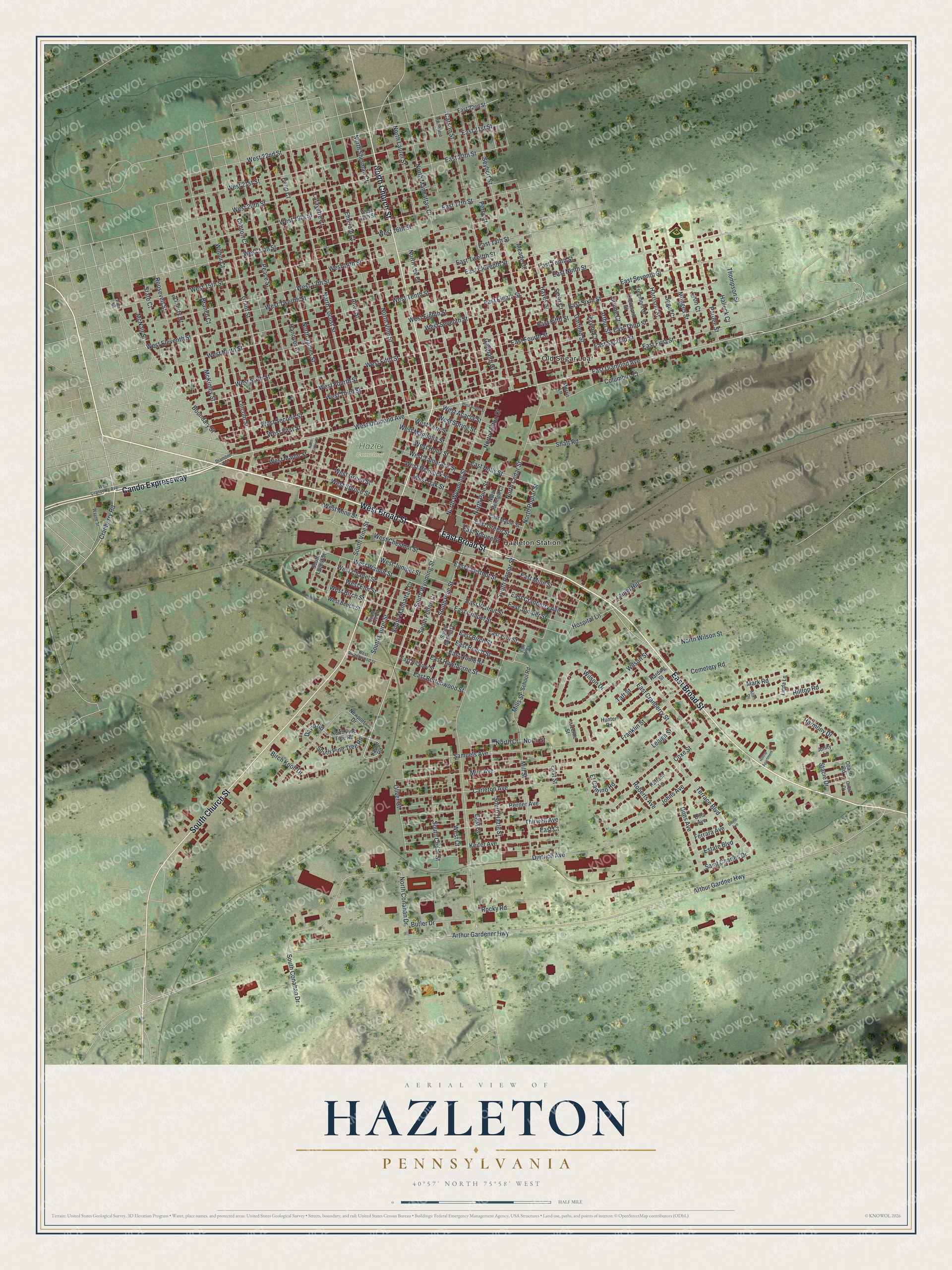
Street and place names on the Hazleton, Pennsylvania map
These names are printed on the map of Hazleton, Pennsylvania.
Places: Hazle Cemetery, Hazleton Station and Old Sugar Loaf.
Streets and roads: East Broad Street, West Broad Street, Cando Expressway, South Church Street, North Church Street, East Diamond Avenue, West Diamond Avenue, South Wyoming Street, Birch Knoll Drive, Cranberry Road, North Wyoming Street, David Road.
More street names, A to Z
Allen Drive, Allen Street, Alter Street, Amity Lane, Arthur Gardener Highway, Arthur Gardner Highway, Arthur Street, Berner Avenue, Boone Court, Boundary Street, Branch Court, Butler Drive, Carleton Avenue, Carson Street, Cemetery Road, Circle Drive, Cleveland Street, Clinton Court, Coach Road, Columbus Court, Coxe Street, David Avenue, Diamond Avenue, Dietrich Avenue, Dina Avenue, Dons Avenue, East 13th Street, East 17th Street, East 20th Street, East 21st Street, East 22nd Street, East Beech Street, East Birch Street, East Buttonwood Street, East Chapel Street, East Chestnut Street, East Court, East Cranberry Avenue, East Cranberry Street, East Eighth Street, East Eleventh Street, East Elm Street, East Fifth Street, East First Street, East Fourth Street, East Green Street, East Hawthorne Street, East Hickory Street, East Holly Street, East Juniper Street, East Maple Street, East Mine Street, East Ninth Street, East Noble Street, East Second Street, East Seventh Street, East Sixth Street, East Spruce Street, East Street, East Tenth Street, East Third Street, East Twelfth Street, East Walnut Street, El Camino Road, Elm Alley, Emerald Court, Estate Boulevard, Ferrara Avenue, Franklin Street, Freemont Court, Garfield Street, Garibaldi Court, Grant Street, Halleck Court, Hanover Court, Harding Street, Harmony Drive, Harrison Street, Hayes Street, Hilltop Apartment, Hilltop Road, Hospital Lane, Hunter Road, Jason Road, Johns Avenue, Keifer Avenue, Lafayette Court, Laurel Hill, Lehigh Street, Liberty Court, Lincoln Street, Linda Lane, Luzerne Street, Lyon Court, Mark Road, McKinley Street, McNair Street, Meade Court, Mills Street, Mill Street, Monges Street, Morris Lane, Muir Avenue, Newport Drive, North Bennett Court, North Cedar Street, North Conahan Drive, North Court, North Fulton Court, North James Street, North Laurel Street, North Lee Court, North Linden Street, North Locust Street, North Manhattan Court, North Pine Street, North Pine Tree Road, North Poplar Street, North Sherman Court, North Street, North Vine Street, North Wilson Street, Oliver Court, Pardee Street, Parkwood Street, Peace Street, Penn Court, Perry Court, Randon Lane, Roberts Avenue, Rocky Road, Roosevelt Street, Saint Charles Drive, Samuels Avenue, School Road, Scott Court, Segal Court, Seybert Street, Shaft Road, South Bennett Court, South Cedar Street, South Conahan Drive, South Fulton Court, South Hazle Street, South Laurel Street, South Lee Court, South Locust Street, South Manhattan Court, South Pine Street, South Pine Tree Road, South Poplar Street, South Vine Street, Stacie Drive, State Court, Taft Street, Taylor Court, Terrace Boulevard, Thirwell Avenue, Thompson Street, Wayne Street, West 13th Street, West 14th Street, West 15th Street, West 16th Street, West 17th Street, West 18th Street, West 19th Street, West 20th Street, West 21st Street, West 22nd Street, West Acacia Street, West Aspen Street, West Beech Street, West Birch Street, West Buttonwood Street, West Chapel Street, West Chestnut Street, West Court, West Cranberry Avenue, West Eighth Street, West Eleventh Street, West Elm Street, West Fern Street, West Fifth Street, West First Street, West Fourth Street, West Green Street, West Hemlock Street, West Holly Street, West Juniper Street, West Magnolia Street, West Maple Street, West Mine Street, West Ninth Street, West Oak Street, West Second Street, West Seventh Street, West Sixth Street, West Spring Street, West Spruce Street, West Tamarack Street, West Tenth Street, West Third Street, West Twelfth Street, West Walnut Street, Wilbur Court, Wilson Drive, Wilson Street.
See the Hazleton, Pennsylvania map on a wall
The Hazleton map as an 18 x 24 inch print in a black frame.

This beautifully detailed map of Hazleton makes an attractive addition to your office, library, or den, and it can even be used to teach children the geography and history of the area. It also makes a great gift for someone who left Hazleton and still calls it home. When you’re done exploring, click here to get your copy of the Hazleton map.