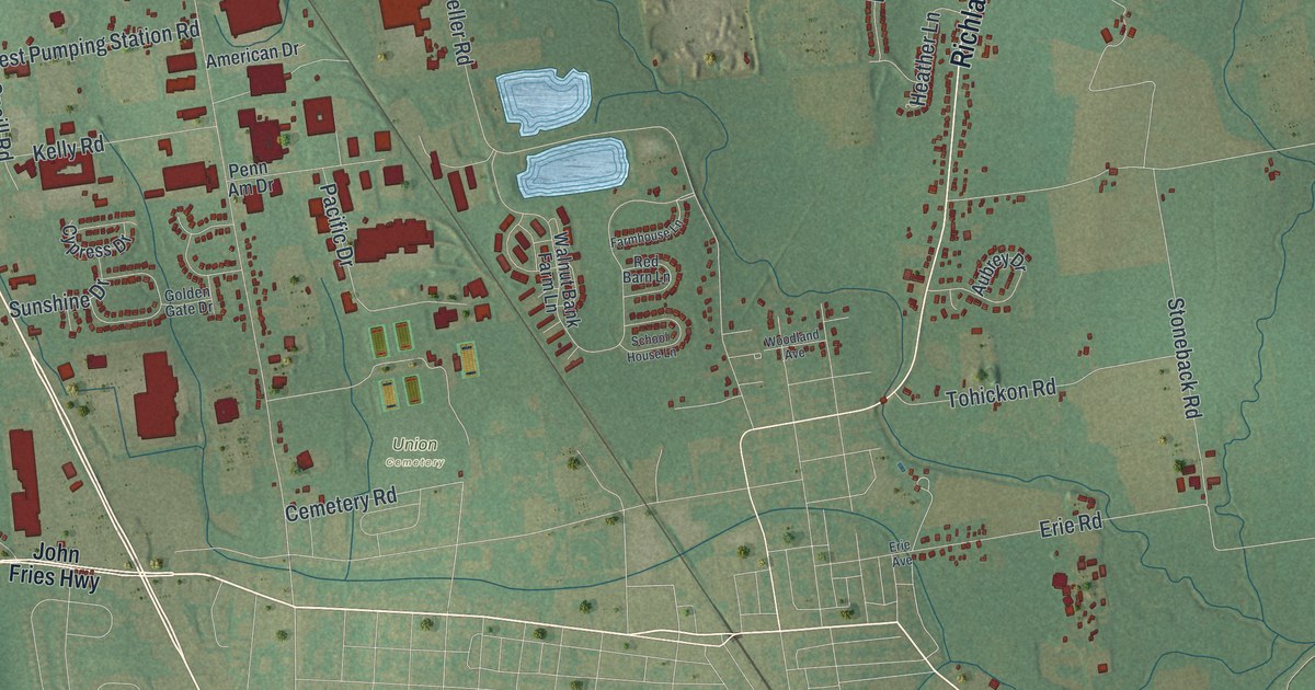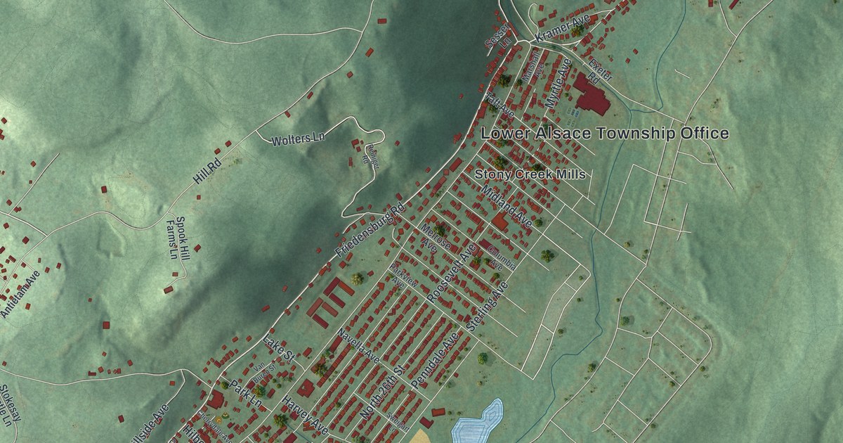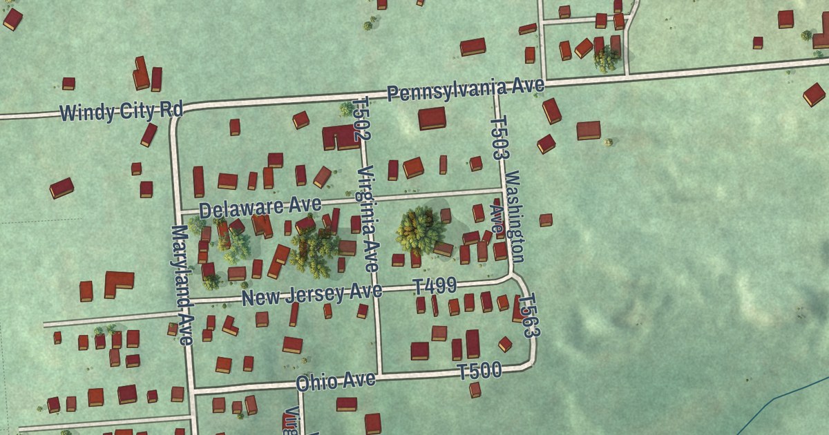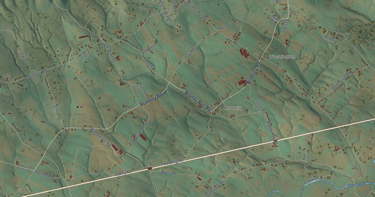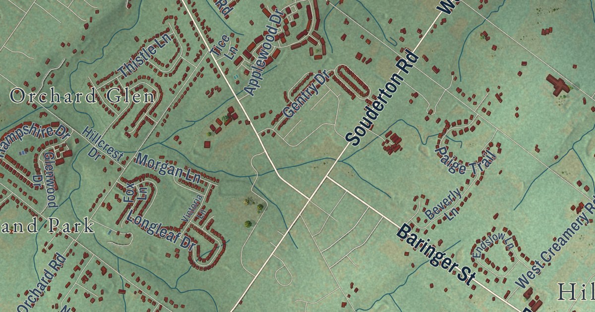
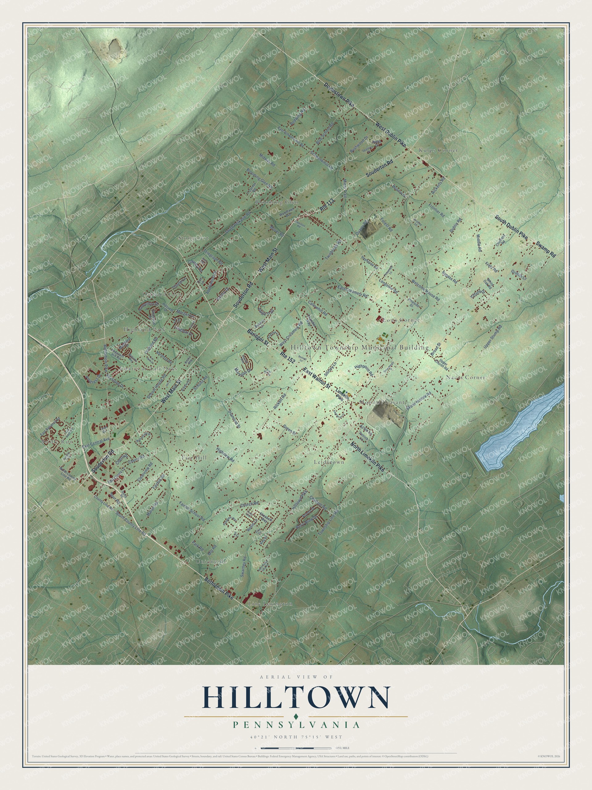
This beautifully detailed map of Hilltown, Pennsylvania was created in 2026 using aerial imagery combined with modern topographical, census, street and landmark data. It’s a one-of-a-kind view of Hilltown that combines accurate data with a vintage aesthetic. The map shows every building in its true location, many of the roads carry their names, and the shaded topographic relief shows the shape of the land.
Explore an aerial view of Hilltown, Pennsylvania
On the map you’ll find Hilltown Township Municipal Building, Blooming Glen, Bridle Run, Estates at Tall Oaks, Fair Hill, Griers Corner, Highland Park, Kulps Corner, Leidytown, Line Lexington, Loux Corner, Mount Pleasant, and more. If you look closely you can even find your house accurately drawn in its correct location. Zoom in on the preview to look for yours.
Did you know this piece of Hilltown, Pennsylvania history?
The Reverend William Thomas, a Welshman, was one of the fathers of Hilltown. He had landed at Philadelphia penniless. In 1737 he built the Lower meeting-house on four acres of his own land. Its pulpit was a large hollow poplar tree on a platform, and in times of danger he carried his gun to church. That’s from the 1876 History of Bucks County, Pennsylvania.
Take a closer look at the Hilltown map
Street and place names on the Hilltown, Pennsylvania map
These names are printed on the map of Hilltown, Pennsylvania.
Places: Hilltown Township Municipal Building, Unionville, Blooming Glen, Naces Corner, Estates at Tall Oaks, Leidytown, Bridle Run, Stonycrest, Kulps Corner, Fair Hill, Orchard Glen, Line Lexington, Loux Corner, Mount Pleasant and Highland Park.
Streets and roads: Bethlehem Pike, North Limekiln Pike, Souderton Road, West Main Street, West Dublin Pike, Baringer Street, East Walnut Street, Doylestown Pike, Swamp Road, South Dublin Pike, Route 152, Route 113.
More street names, A to Z
7 Corner Road, Applewood Drive, Azlen Lane, Bennett Lane, Berry Brow Drive, Beverly Lane, Blooming Glen Road, Blue School Road, Bricks Way, Brinkley Drive, Broad Street, Bushwood Drive, Bypass Road, Callowhill Road, Casey Way, Central Avenue, Chalfont Road, Chandler Way, Chelfield Road, Cherry Drive, Cherry Road, Church Road, Clearview Road, Country Road, County Line Road, Diamond Street, Dublin Road, East Central Avenue, East Cherry Lane, East Creamery Road, East Reliance Road, East Schwenkmill Road, East Summit Street, Elizabeth Way, Endslow Lane, Equestrian Court, Evan Mill Road, Fairhill Road, Fairhill School Road, Forest Road, Fox Lane, Fretz Road, Frontier Road, Gentry Drive, Gina Circle, Glenwood Drive, Green Street, Griffith Court, Hamilton Road, Hampshire Drive, Hartzel Way, Hayhouse Road, Highpoint Road, Highview Road, Hillcrest Drive, Hilltown Pike, Ian Court, Key Drive, Keystone Drive, Kristine Lane, Limekiln Pike, Longleaf Drive, Longview Road, Loni Court, Mapleleaf Drive, Maregan Drive, Maron Road, Meadow Drive, Middle Road, Midway Road, Mill Road, Minsi Trail, Misty Mdw, Morgan Lane, Moyer Road, Narothyn Road, North County Line Road, North Valley View Road, Orchard Road, Paige Trail, Park Road, Pasquale Way, Petrick Lane, Pheasant Hill Road, Pineside Drive, Pinewood Lane, Progress Drive, Quarry Road, Redwing Road, Revere Drive, Rickert Road, Rickerts Road, Rosenberger Drive, Rosie Lane, School House Road, Schultz Road, Schwenkmill Road, Shirley Lane, Skunk Hollow Road, South County Line Road, South Perkasie Road, Spalding Drive, Spur Road, Sunny Road, Swartley Road, Tall Oaks Drive, Tech Drive, Telegraph Road, Thistle Lane, Tice Lane, Tiffany Drive, Township Line Road, Twinbrook Road, Upper Church Road, Upper Stump Road, Victoria Lane, Webb Drive, Welcome House Road, West Creamery Road, White Oak Road, Williams Way, Woodlawn Avenue, Wynnefield Drive.
See the Hilltown, Pennsylvania map on a wall
The Hilltown map as an 18 x 24 inch print in a black frame.

This beautifully detailed map of Hilltown makes an attractive addition to your office, library, or den, and it can even be used to teach children the geography and history of the area. It also makes a great gift for anyone who grew up in Hilltown or moved away. When you’re done exploring, click here to get your copy of the Hilltown map.