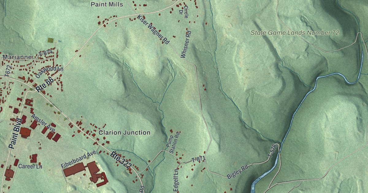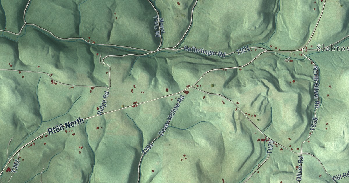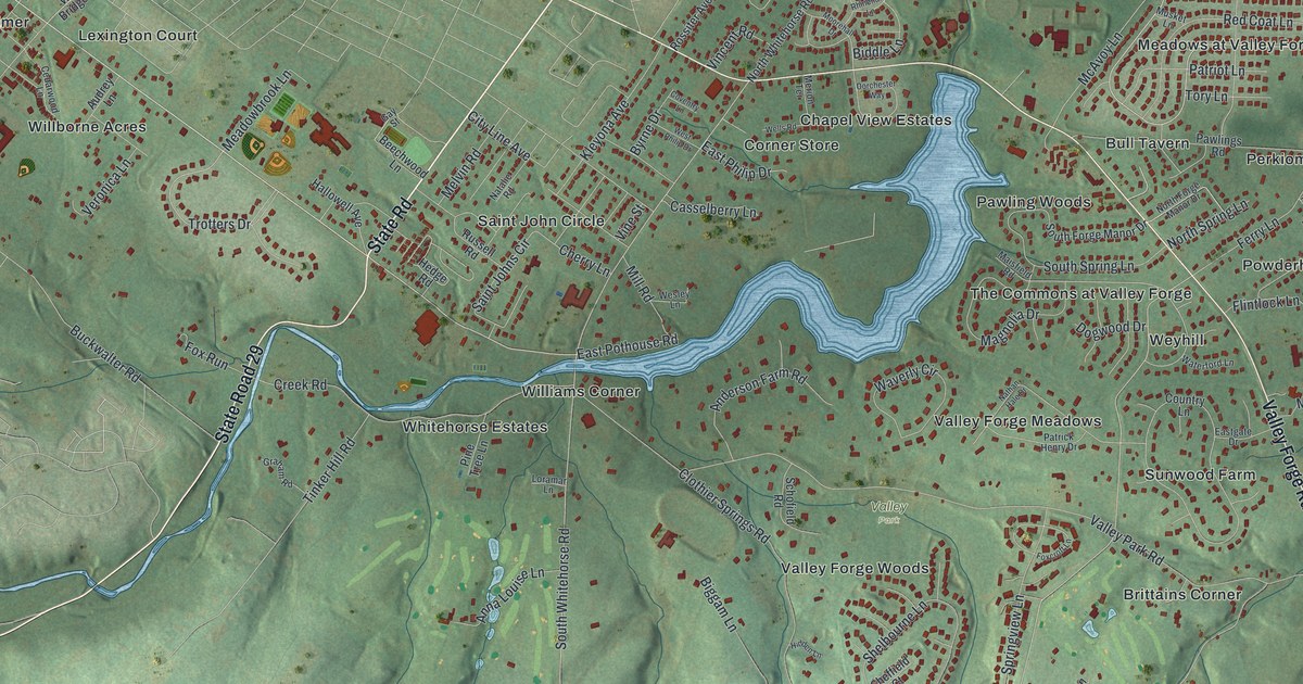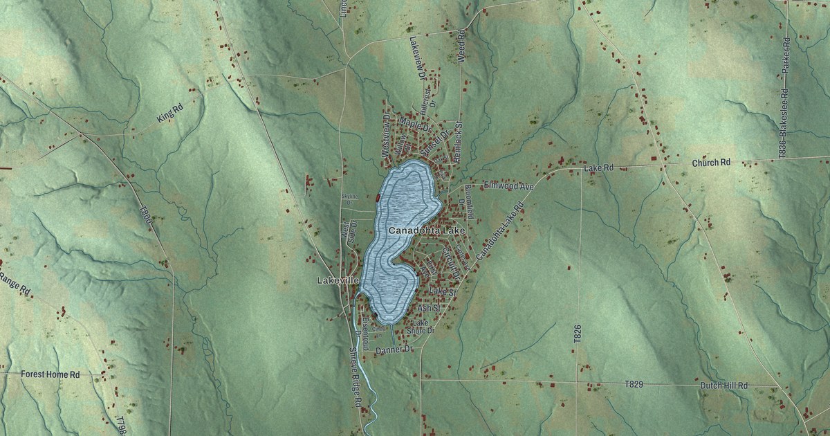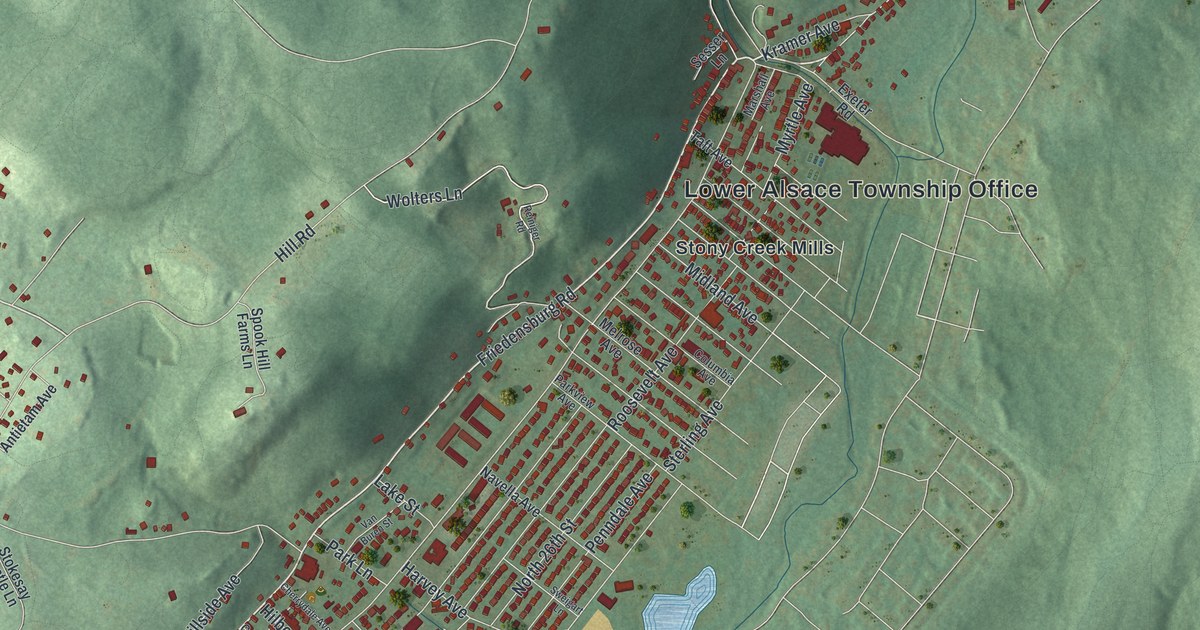
This beautifully detailed map of Lower Alsace, Pennsylvania was created in 2026 using aerial imagery combined with modern topographical, census, street and landmark data. It’s a one-of-a-kind view of Lower Alsace that combines accurate data with a vintage aesthetic. The map shows every building in its true location, many of the roads carry their names, and the shaded topographic relief shows the shape of the land.
Explore an aerial view of Lower Alsace, Pennsylvania
On the map you’ll find Lower Alsace Township Office, Antietam Lake Park, Mount Penn Preserve, Neversink Mountain Preserve, Rotary Park, Pennside, and Stony Creek Mills, along with Friedensburg Road, Brighton Avenue, North 26th Street, Hill Road, Haag Road, and more. If you look closely you can even find your house accurately drawn in its correct location. Zoom in on the preview to look for yours.
Did you know this piece of Lower Alsace, Pennsylvania history?
The Mount Penn Gravity Railroad was built on Penn Mountain in 1890 and was eight miles long. The Neversink line, the same length, opened that year too. In 1896 the United Traction Company opened Carsonia Park here on 150 acres. The park drew 250,000 visitors during the 1908 season. That’s from the 1909 Historical Annals of Berks County.
Take a closer look at the Lower Alsace map
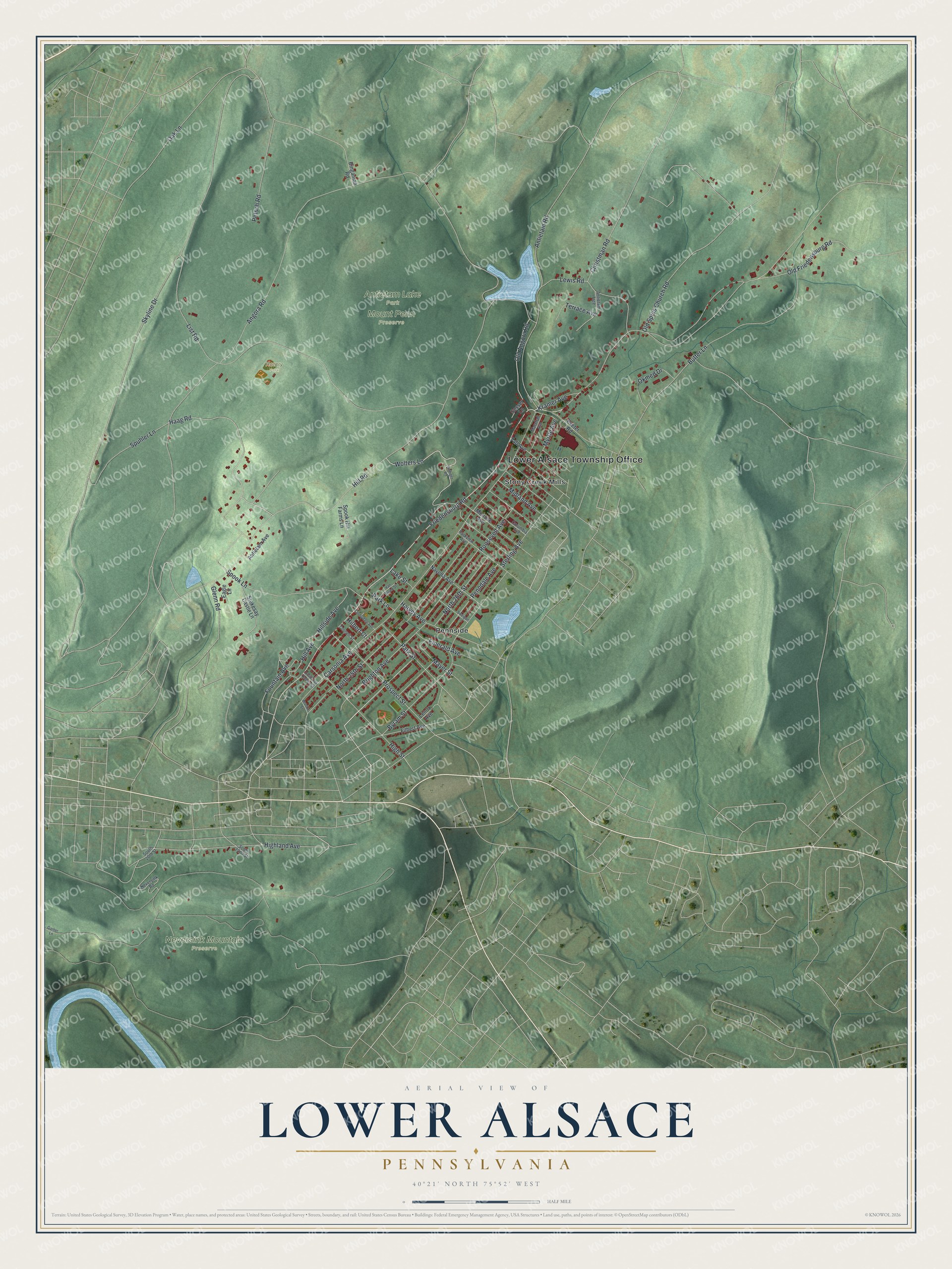
Street and place names on the Lower Alsace, Pennsylvania map
These names are printed on the map of Lower Alsace, Pennsylvania.
Places: Lower Alsace Township Office, Antietam Lake Park, Mount Penn Preserve, Neversink Mountain Preserve, Rotary Park, Pennside and Stony Creek Mills.
Streets and roads: Friedensburg Road, Brighton Avenue, North 26th Street, Hill Road, Haag Road, Wolters Lane, Angora Road, Skyline Drive, List Road, Carsonia Avenue, Old Friedensburg Road, North 25th Street.
More street names, A to Z
Antietam Avenue, Antietam Road, Antietam Trce, Bingaman Road, Brooke Street, Butter Lane, Byram Street, Cherrydale Avenue, Christman Road, Columbia Avenue, Cornell Street, Eagle Lane, Emerald Avenue, Exeter Road, Filbert Avenue, Fountain Avenue, Ganter Lane, Glenn Road, Harvey Avenue, Highland Avenue, High Street, Hilbert Court, Hill Avenue, Hillside Avenue, Kramer Avenue, Lake Street, Lenox Avenue, Lewis Road, Marshall Avenue, Mayer Street, Melrose Avenue, Midland Avenue, Myrtle Avenue, Navella Avenue, Neversink Road, Oak Lane, Okmed Drive, Old Angora Road, Old Spies Church Road, Park Lane, Park Street, Parkview Avenue, Penndale Avenue, Petsch Road, Prospect Street, Reiniger Road, Roosevelt Avenue, Sesser Lane, South 20th Street, South 22nd Street, South Los Robles Court, Spook Hill Farms Lane, Spook Lane, Spuhler Lane, Sterling Avenue, Stokesay Castle Lane, Sweigart Lane, Taft Avenue, Terrace Avenue, Van Buren Street.
See the Lower Alsace, Pennsylvania map on a wall
The Lower Alsace map as an 18 x 24 inch print in a black frame.

This beautifully detailed map of Lower Alsace makes an attractive addition to your office, library, or den, and it can even be used to teach children the geography and history of the area. It also makes a great gift for anyone who grew up in Lower Alsace or moved away. When you’re done exploring, click here to get your copy of the Lower Alsace map.