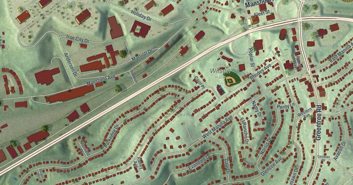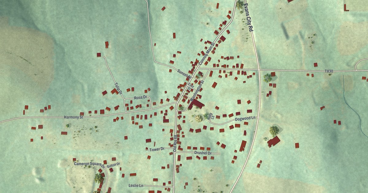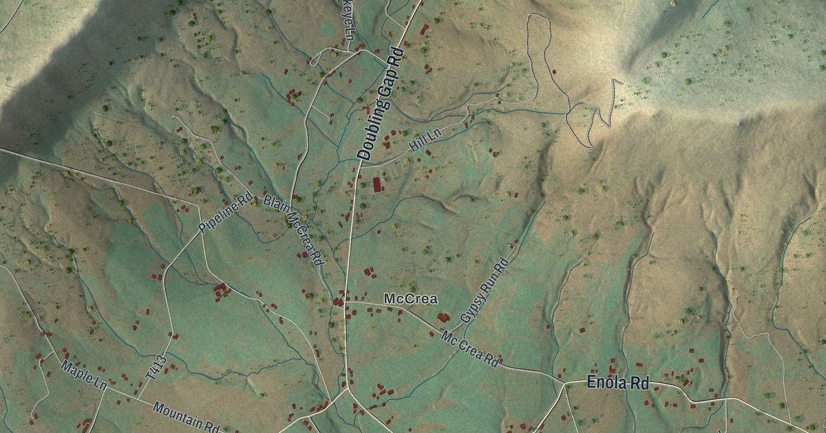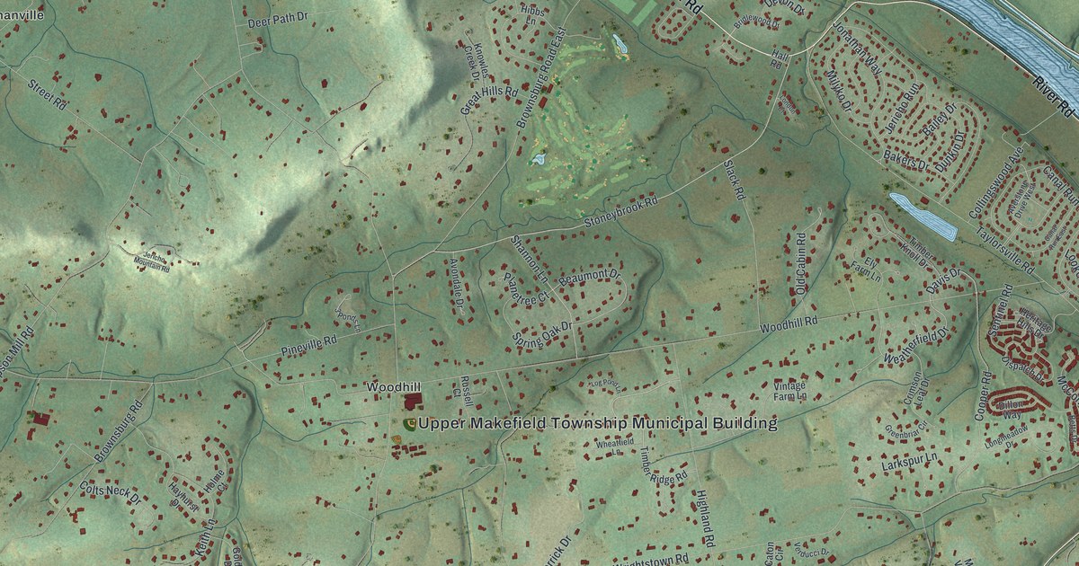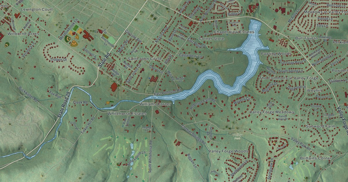
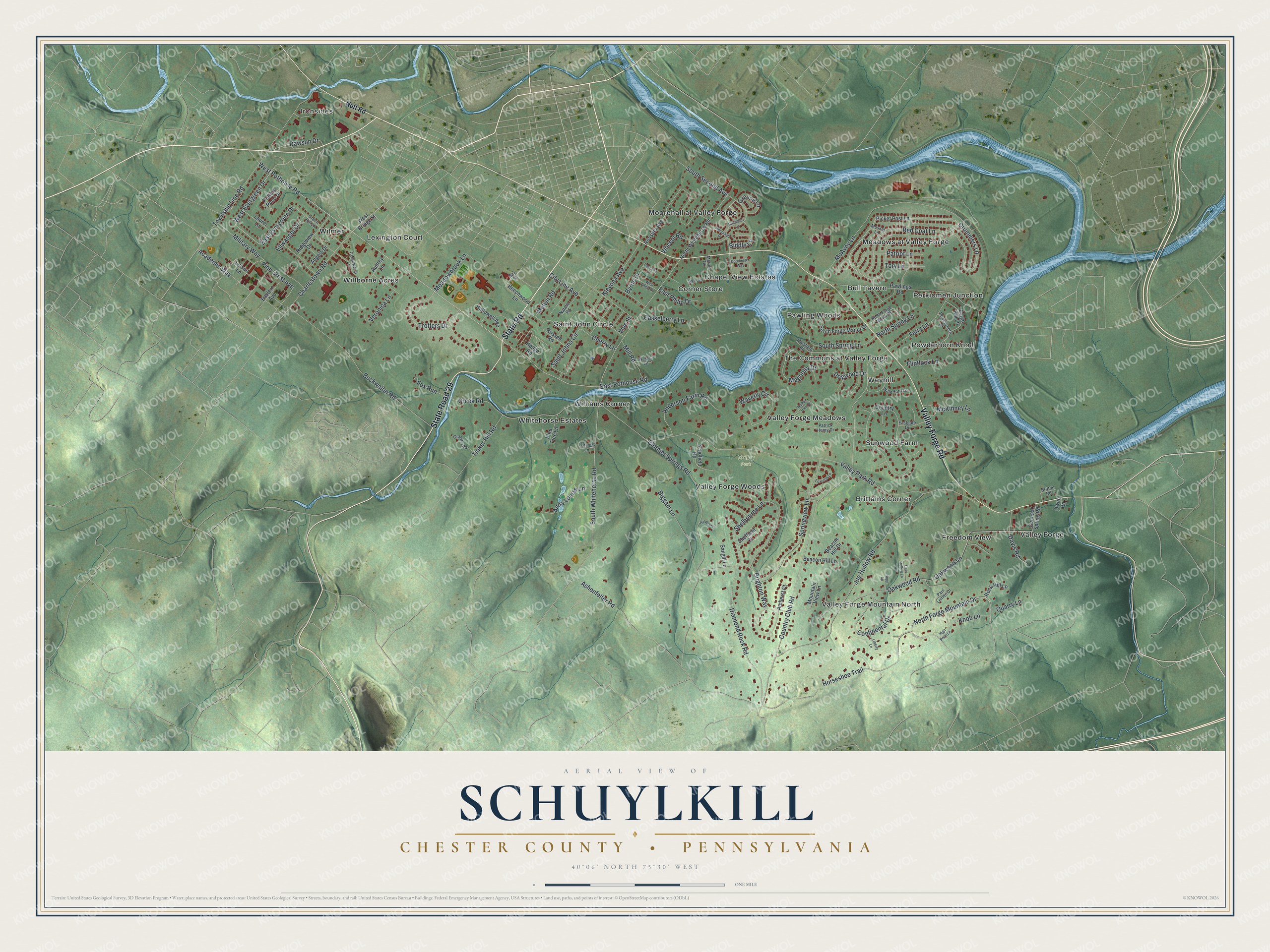
This beautifully detailed map of Schuylkill, Chester County, Pennsylvania was created in 2026 using aerial imagery combined with modern topographical, census, street and landmark data. It's a modern aerial view of Schuylkill, Chester County in Chester County, Pennsylvania, that combines modern data with a vintage aesthetic. The roads feature printed names, and if you look closely you can find your exact house accurately shown in its correct location.
Explore an aerial view of Schuylkill, Chester County, Pennsylvania
On this map you'll find Ironsides, Valley Park, Brittains Corner, Bull Tavern, Chapel View Estates, Corner Store, Freedom View, Lexington Court, Meadows at Valley Forge, Moorehall at Valley Forge, Pawling Woods, Perkiomen Junction, and more. Each red shape is a building, so zoom in on the preview and look for yours.
Schuylkill, Chester County has a story worth telling. The A History of Chester County puts it this way: "In 1826 the eastern part along the Schuylkill River became Schuylkill Township."
Schuylkill, Chester County is a place in Chester County. The Census Bureau counted 8,780 people here in 2020.
Take a closer look at the Schuylkill, Chester County map
Names on this map
These names are printed on this map.
Places: Ironsides, Valley Park, Brittains Corner, Bull Tavern, Chapel View Estates, Corner Store, Freedom View, Lexington Court, Meadows at Valley Forge, Moorehall at Valley Forge, Pawling Woods, Perkiomen Junction, Powderhorn Knoll, Saint John Circle, Sunwood Farm, The Commons at Valley Forge, Valley Forge, Valley Forge Meadows, Valley Forge Mountain North, Valley Forge Woods, Weyhill, Whitehorse Estates, Willborne Acres, Williams Corner and Wilmer.
Streets and roads: State Road, State Road 29, Valley Forge Road, West Pothouse Road, West Evergreen Drive, North Forge Mountain Drive, Drummers Lane, East Pothouse Road, Horseshoe Trail, East Evergreen Drive, Academic Way, Country Club Road.
More street names, A to Z
Amherst Court, Anderson Farm Road, Angela Drive, Anna Louise Lane, Ashenfelter Road, Audrey Lane, Beacon Hill Drive, Beacon Hill Lane, Beechwood Lane, Biddle Lane, Biggam Lane, Brighton Way, Britton Road, Buckwalter Road, Byrne Drive, Casselberry Lane, Cedarwood Lane, Charlestown Road, Cherry Lane, City Line Avenue, Clothier Springs Road, Colonial Spring Road, Continental Drive, Country Lane, Coventry Lane, Creek Road, Davis Road, Dawson Drive, Deer Hollow Lane, Diamond Rock Road, Dogwood Drive, Dorchester Way, Eastern Avenue, Eastgate Drive, East Philip Drive, Edison Lane, Ellwanger Drive, Ferry Lane, Flintlock Lane, Forge Hill Lane, Foxcroft Lane, Fox Run, Gay Street, Graham Road, Greene Lane, Green Hill Lane, Hallowell Avenue, Hedge Road, Hidden Lane, High Point Lane, Hope Lane, Jug Hollow Road, Kleyona Avenue, Knob Lane, Laurel Lane, Liberty Lane, Loramar Lane, Magnolia Drive, Maisfield Road, McAvoy Lane, McKinney Lane, Meadowbrook Lane, Melvin Road, Merion Terrace, Military Way, Mill Road, Moorehall Drive, Mountain View Lane, Musket Lane, Natalie Road, Nathan Hale Drive, North Forge Manor Drive, North Spring Lane, North Whitehorse Road, Nutt Road, Oakwood Lane, Oakwood Road, Owen Road, Patrick Henry Drive, Patriot Lane, Paul Lemen Drive, Pawlings Road, Picket Post Lane, Pine Crest Avenue, Pine Tree Lane, Potters Pond Drive, Powderhorn Drive, Quarry Lane, Red Coat Lane, Rhinehart Lane, Ridgeview Drive, Rock Hill Lane, Rossiter Avenue, Russell Road, Saint Johns Circle, Sangill Lane, Schofield Road, Sheffield Court, Shelbourne Lane, South Forge Manor Drive, South Second Avenue, South Spring Lane, South Whitehorse Road, Springview Lane, Tinker Hill Road, Tory Lane, Township Line Road, Trotters Drive, Valley Park Road, Veronica Lane, Vincent Road, Vine Street, Waterford Lane, Waverly Circle, Wells Road, Wesley Lane, West Bridge Street, West Philip Drive.
See it on a wall
The Schuylkill, Chester County map as a framed print. Swipe for more.


Created by KNOWOL in 2026. The buildings are small red shapes, the roads carry their printed names, and shaded relief shows the shape of the land. The title panel reads "AERIAL VIEW OF SCHUYLKILL, CHESTER COUNTY • PENNSYLVANIA" with 40°06' NORTH 75°30' WEST.
It looks right in a kitchen, an office or a den, and it's a gift for anyone who grew up in Schuylkill, Chester County or moved away. Open the preview and find your street. See sizes and frames for the Schuylkill, Chester County map.