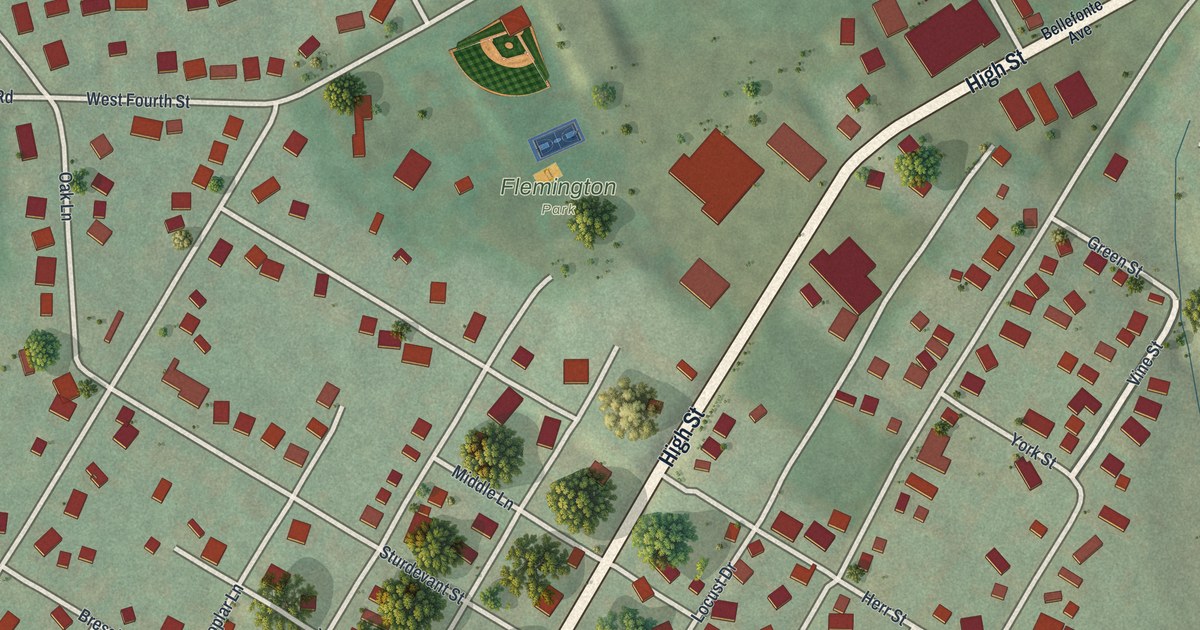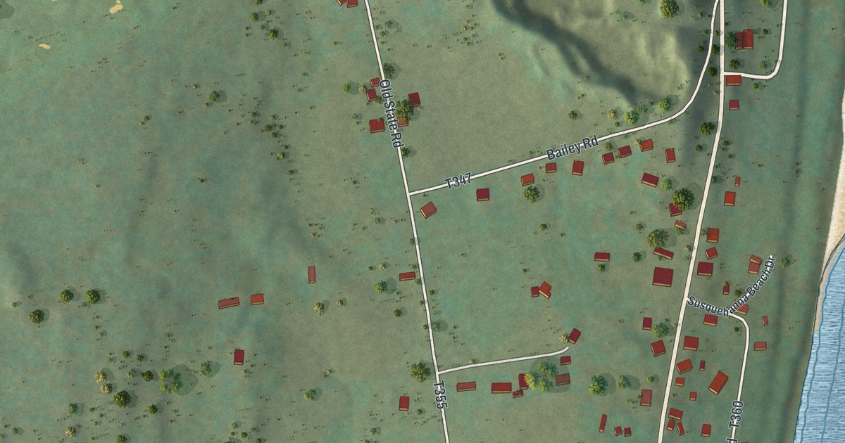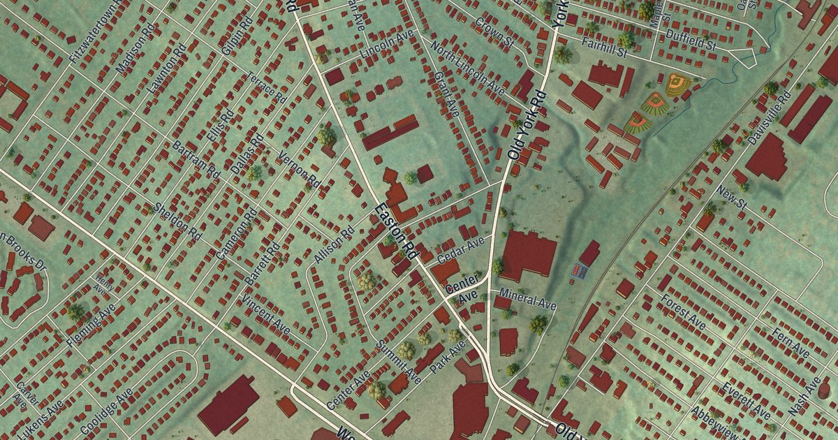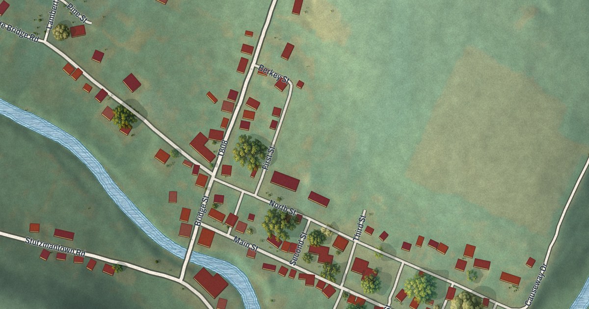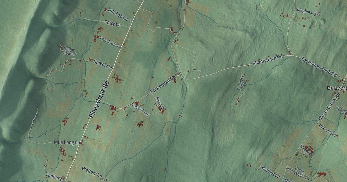
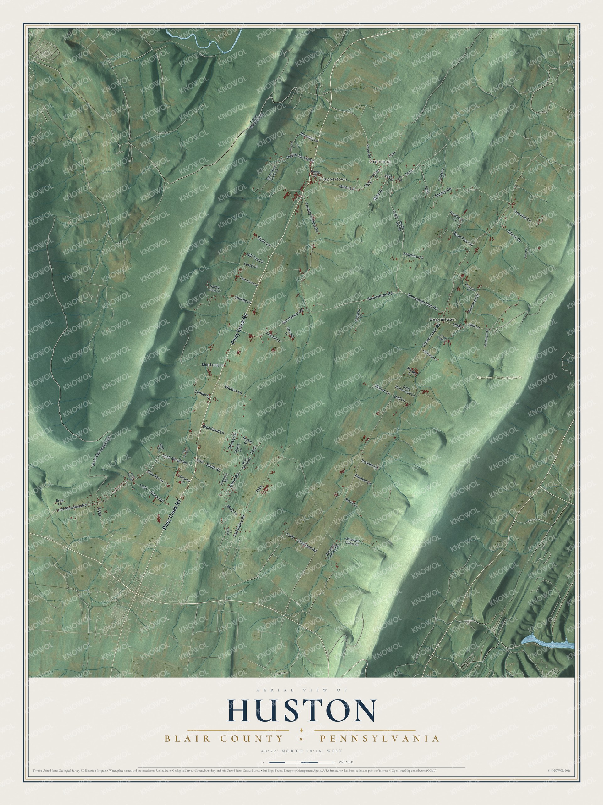
This beautifully detailed map of Huston, Blair County, Pennsylvania was created in 2026 using aerial imagery combined with modern topographical, census, street and landmark data. It’s a one-of-a-kind view of Huston that combines accurate data with a vintage aesthetic. The map shows every building in its true location, many of the roads carry their names, and the shaded topographic relief shows the shape of the land.
Explore an aerial view of Huston, Blair County, Pennsylvania
On the map you’ll find Oreminea, State Game Lands Number 73, Beavertown, and Clappertown, along with Piney Creek Road, Sportsman Road, Shantytown Road, Lock Mount Road, and more. If you look closely you can even find your house accurately drawn in its correct location. Zoom in on the preview to look for yours.
Did You Know?
From the History of Huntingdon and Blair Counties: "Clover and Piney Creeks, flowing to the northward, are its principal sources of water supply and drainage."
Take a closer look at the Huston, Blair County map
Names on this map
These names are printed on this map.
Places: Oreminea, State Game Lands Number 73, Beavertown and Clappertown.
Streets and roads: Piney Creek Road, Sportsman Road, Tr375, Shantytown Road, Lock Mount Road, Lock Mountain Road, Clover Creek Road, Allison Drive, State Gameland Road, Claybank Road, Eastep Road, Poverty Hollow Road.
More street names, A to Z
Baron Road, Barr Lane, Baughman Lane, Bean Tree Lane, Bluedog Lane, Burket Drive, Canary Lane, Chesney Lane, Corle Homestead Lane, Davis Road, Deafy Hill Road, Deer Run Road, Dell Lane, Denver Drive, Dilling Lane, Drew Lane, Fair Valley Road, Ferry Lane, Greenleaf Road, Harstrom Lane, Hill Top Lane, Holstien Lane, King James Lane, Kreider Lane, Larke Road, Locke Mountain Road, Locust Lane, Longspur Lane, Metz Lane, Mil-Ber Lane, Mile Long Lane, Mill Lane, Mines Lane, Mine Street, Mountain Lane, Negley Spring Road, North Barrens Road, Pealer Street, Peppers Lane, Pheasant Lane, Raspberry Lane, Rebecca Furnace Road, Rhodes Lane, Ross Lane, Royer Road, Sawmill Lane, Sherman Drive, Smith Road, Snively Lane, Sportsmen Club Road, Stauffer Lane, Stone Row Circle Lane, Stonewall Lane, Stultz Lane, Sunflower Lane, Timber Lane, Tremmel Lane, Twin Farm Lane, Valley View Lane, Walnut Lane, Walters Lane, Wineland Camp Road, Woodland Lane, Woody Hollow Lane.
See it on a wall
The Huston, Blair County map as a framed print. Swipe for more.


This beautifully detailed map of Huston, Blair County makes an attractive addition to your office, library, or den, and it can even be used to teach children the geography and history of the area. It also makes a great gift for someone who left Huston and still calls it home. When you’re done exploring, click here to get your copy of the Huston, Blair County map.