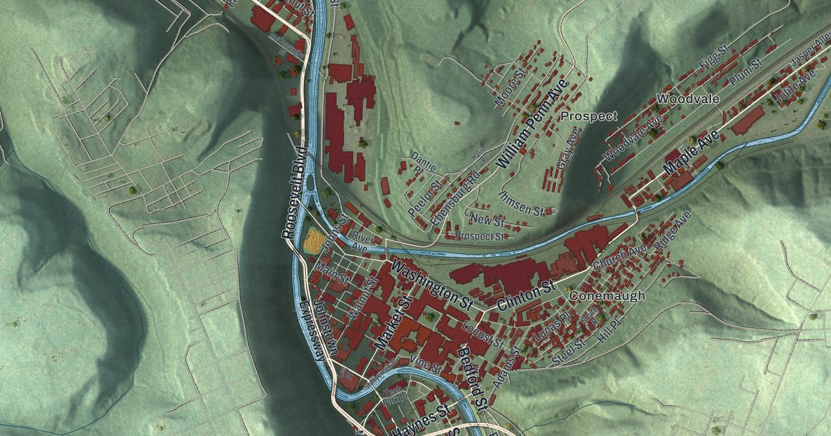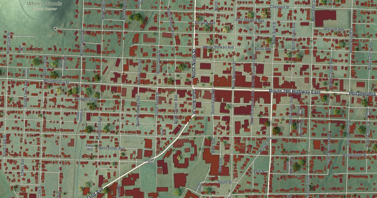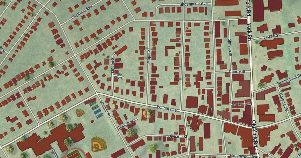
If you grew up in Jenkintown, shop along Old York Road or still have family on these blocks, this map gives you a lot to find. It's a modern aerial view of Jenkintown in Montgomery County, Pennsylvania, made from modern data and given a vintage artistic look. Old York Road runs north and south through the east side of town, and Jenkintown Borough Hall sits just west of it. About 1,900 buildings are drawn in red. They crowd close along the main road and spread out on the quieter streets, with green hills and a curving rail line around the edges.
Old York Road, Walnut Avenue and Jenkintown Borough Hall
Start at Jenkintown Borough Hall, near the middle of the sheet. Head a short way east to Old York Road and turn north. Greenwood Avenue and Walnut Avenue come in on your left, right in the busiest blocks. Keep going past Cherry Street and Vista Road. Up near the top, Cloverly Avenue branches off to the left and Rydal Road turns off to the right. The National Register lists the Strawbridge and Clothier Store on Old York Road just north of Rydal Road, where large red buildings line the road.
Now go back to Borough Hall and follow Old York Road south. Harper Avenue splits off to the west, Washington Lane heads east, and Foxcroft Square sits in the lower right. West of the center, Walnut Avenue runs past Maple Street and Linden Street to Highland Avenue. A running track and ball fields sit there beside some big buildings. Runnymede Avenue and Rodman Avenue curve around the west side, just inside the rail line. Many of the roads are labeled, and each red shape is a building, so zoom in on the preview and look for yours.
How Jenkintown got its name from the Jenkins family
Jenkintown is named for a family from Wales. William Jenkins was living here by 1697. In 1698 he bought 437 acres on the York road, about half a mile north of today's borough line. The town's name first turns up on a map. Nicholas Scull's map of the province, printed in 1759, calls the place "Jenkens' Town." William J. Buck tells this in the 1884 History of Montgomery County. He also found that Sarah Jenkins got a license in 1779 to keep a public house here. Buck thought the family inn is how the name stuck.
That inn stood a few yards below the later Cottman House, beside the York road. Later, William McCalla kept a tavern on the Cottman House ground. In 1800 he helped start a stage line from Philadelphia to Bethlehem, and the stages changed horses here. His 1807 ad called the place the Barley Sheaf. It had a post office and room in the stables for ninety-five horses. William Cottman kept the same stand for many years after. That old York road is today's Old York Road, the long line up the middle of this map. Cottman Street, printed just east of it near Homestead Road, carries the same name.
A gift for anyone who grew up near Old York Road in Jenkintown
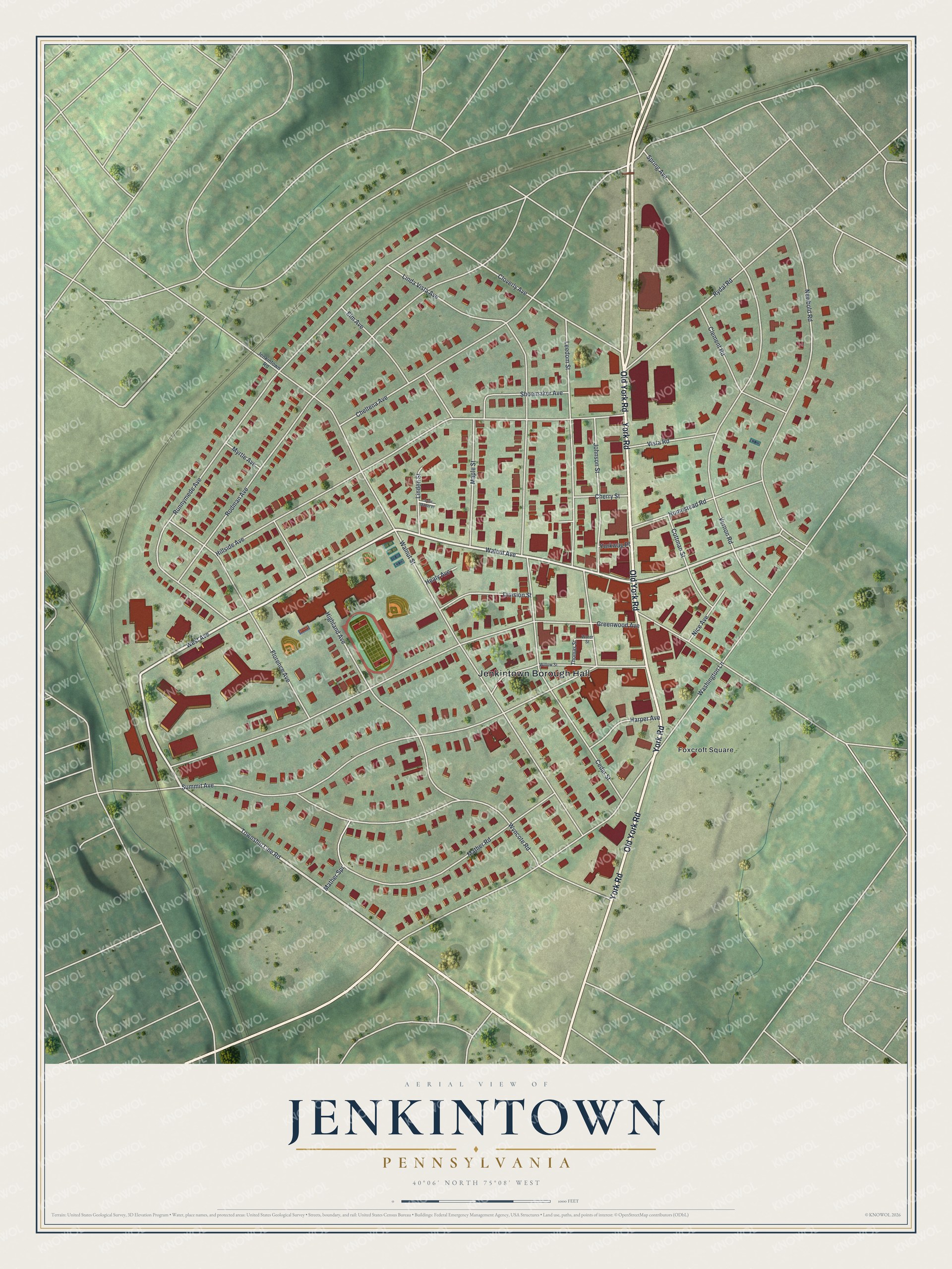
Created by KNOWOL in 2026, this Jenkintown map fits a living room, a home office or a front hall where people stop and look for their street. The shaded hills come from USGS elevation data, and the roads come from Census Bureau records. The title panel reads "Aerial View of Jenkintown, Pennsylvania" with the coordinates 40°06' North, 75°08' West.
It makes a warm gift for someone who grew up a few blocks from Jenkintown Borough Hall, or who moved away and still thinks about Old York Road. Open the watermarked preview, find a street you know, then choose your print on the product page. See sizes and frames for the Jenkintown map.