If you grew up in Jenner Township, or you still have family near Jenners Crossroads or along Somerset Pike, this map has a lot for you to find. It's a modern aerial view of Jenner in Somerset County, Pennsylvania, built from modern data and finished with a vintage look. Green, shaded hills cover the whole sheet. Laurel Ridge State Park and Forbes State Forest sit on the high ground to the west. Glessner, Forwardstown, Ferrellton and Jenners line the roads, and each building is a small red mark.
From Jenners Crossroads along Lincoln Highway and Somerset Pike
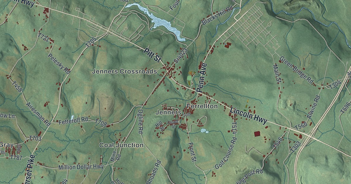
Start at Jenners Crossroads, near the middle of the sheet. Lincoln Highway runs right through it, and one stretch carries the label Pitt Street. Head east and you'll reach Ferrellton, where Front Street drops south to Jenners. Head west instead and Lincoln Highway passes Sliding Rock Road on its way toward Laurel Mountain Village. Where Sliding Rock Road meets Klines Mill Road, a state marker names the Tomahawk Encampment on the Forbes Road of 1758.
Back at the crossroads, follow Somerset Pike north. It passes Glessner, then Forwardstown, then Thomasdale near the top right. Klines Mill Road branches off to the west toward Klines Mill. To the south, Million Dollar Highway runs down past Coal Junction. Main Street strings together Gray, Jenners and Ralphton along the bottom. A wide blue lake fills part of the right edge. Many roads are labeled, and each red mark is a building, so zoom in on the preview and look for yours.
How Jenner Township got its name in 1811
Jenner Township was organized in 1811. It was named for Dr. Jenner, the man who discovered vaccination. That comes from the History of Bedford, Somerset, and Fulton Counties, printed in 1884. The same book says the township's first gristmill stood at Jenner Crossroads. The people who lived nearby built it together, probably some years before 1800. Its first single owner was Thomas Faith.
The book also prints the township's tax list for 1817. Many of its family names still show up on the map's roads. Adam Blough ran a sawmill, and Blough Road is printed just off Klines Mill Road. Sam Berkey is on the list, and Berkey Road runs out from Glessner. Look for Griffith Road, Rose Road and Kennedy Hill Road too. The Griffiths came over from Bedford County, starting in 1809. The Ankenys were among the first settlers, and Ankeny is printed in the lower left.
A map for families from Glessner, Jenners and Forwardstown
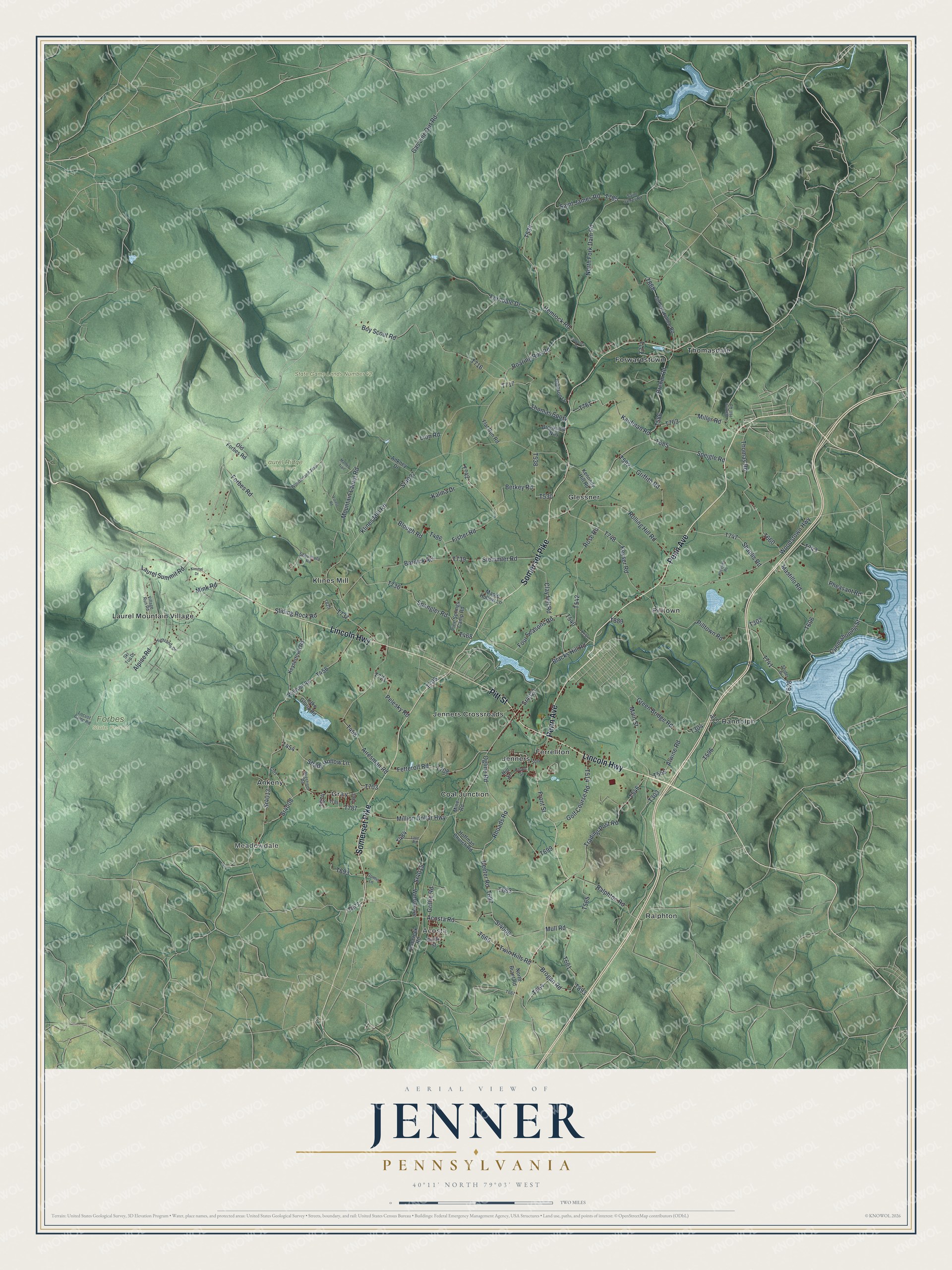
Created by KNOWOL in 2026, this Jenner map fits well in a family room, a home office or a hunting camp. The shaded hills come from USGS elevation data, so the steep ridges on the left stand out. The title panel reads "Aerial View of Jenner, Pennsylvania," with 40°11' North 79°03' West and a two-mile scale bar.
It makes a good gift for someone who grew up near Jenners Crossroads and moved away, or who has spent weekends at Laurel Ridge State Park. Open the preview, start at the crossroads and follow the road home. See sizes and frames for the Jenner map.