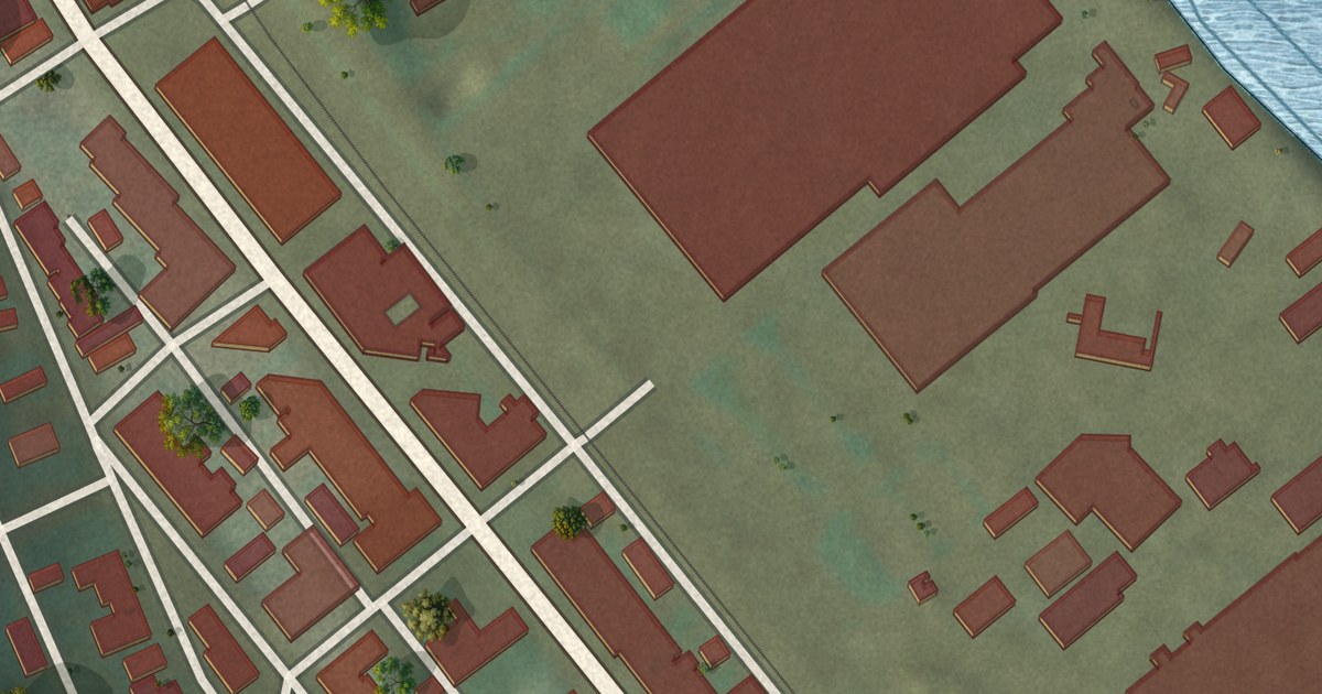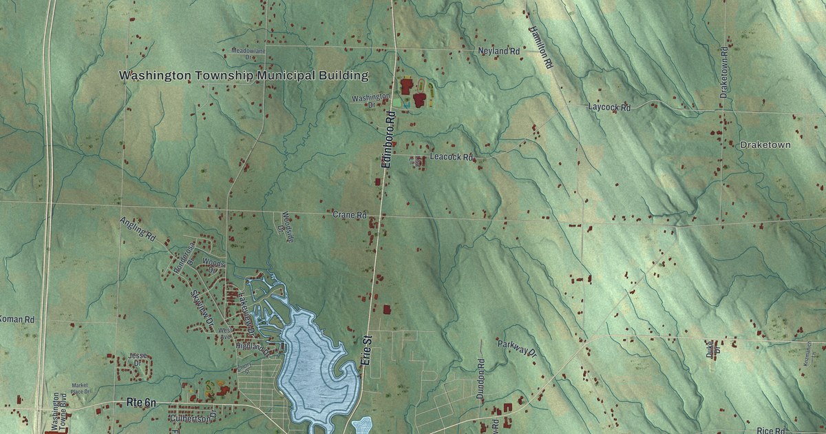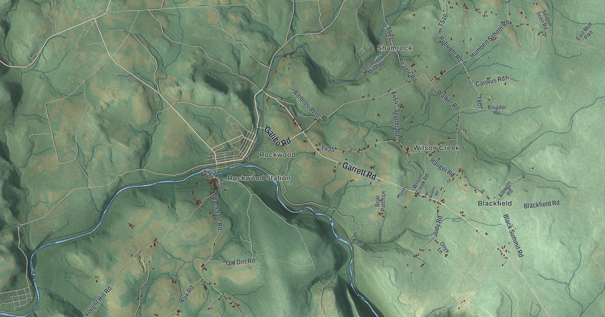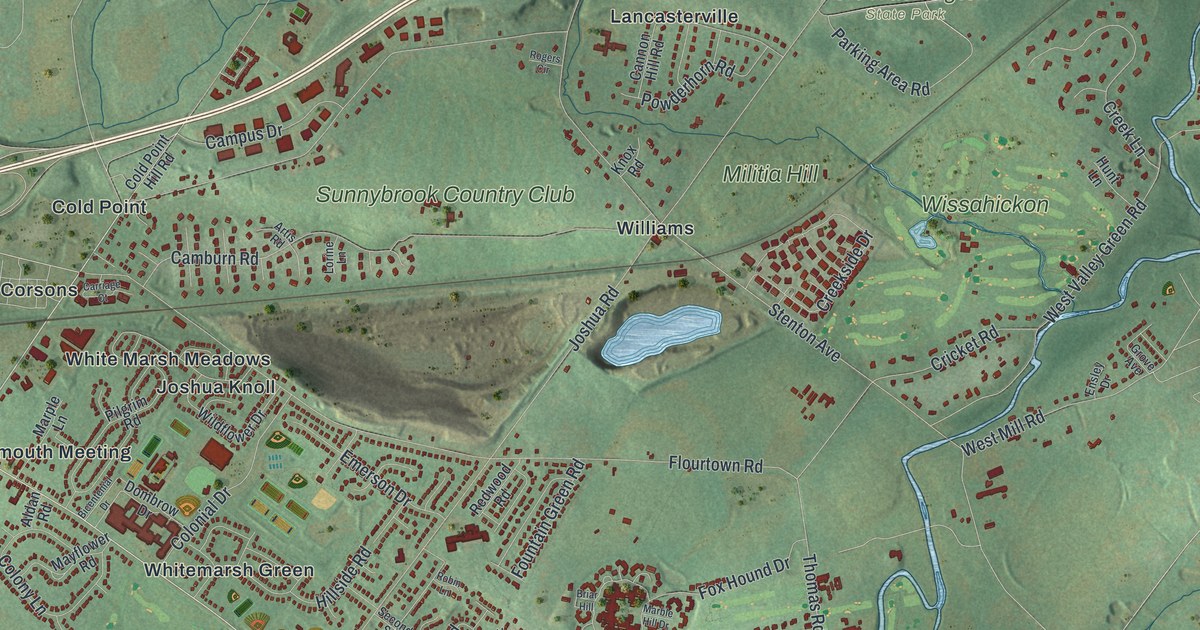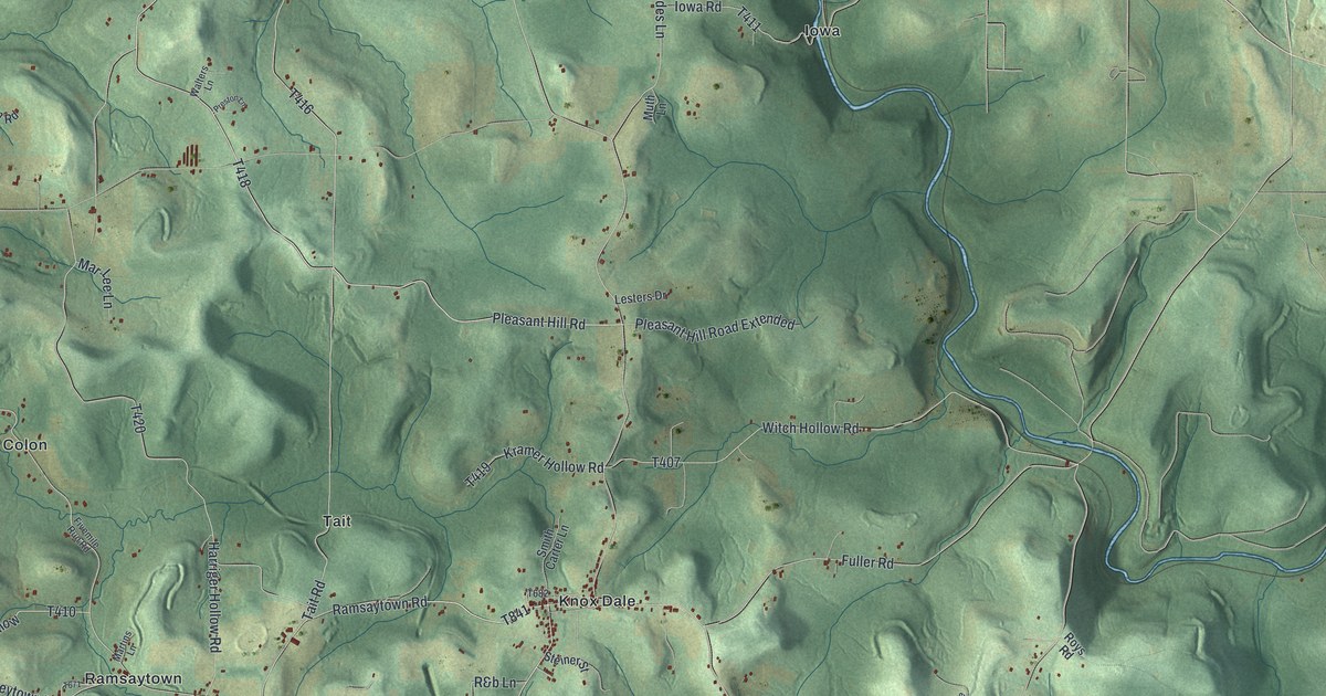
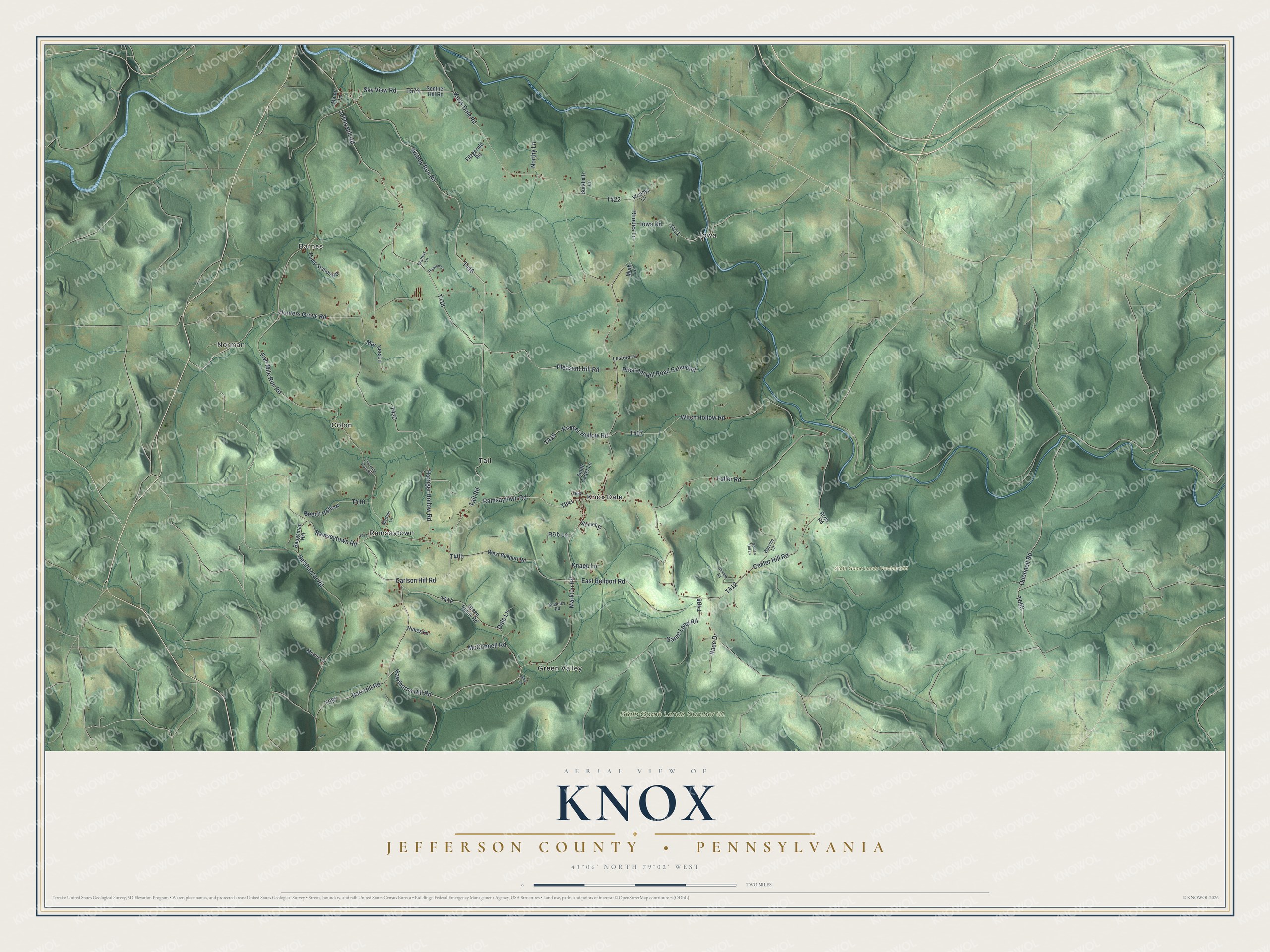
This beautifully detailed map of Knox, Jefferson County, Pennsylvania was created in 2026 using aerial imagery combined with modern topographical, census, street and landmark data. It’s a one-of-a-kind view of Knox that combines accurate data with a vintage aesthetic. The map shows every building in its true location, many of the roads carry their names, and the shaded topographic relief shows the shape of the land.
Explore an aerial view of Knox, Jefferson County, Pennsylvania
On the map you’ll find Norman, Barnes, State Game Lands Number 244, State Game Lands Number 31, Colon, Green Valley, Iowa, Knox Dale, Ramsaytown, and Tait, along with Ramsaytown Road, and more. If you look closely you can even find your house accurately drawn in its correct location. Zoom in on the preview to look for yours.
Did you know this piece of Knox, Jefferson County, Pennsylvania history?
Knox Township was taken from Pine Creek in 1853 and named for John C. Knox, then president judge of the district. When William Wyley’s family arrived by ox wagon in April 1834, only five families lived there. They camped two days in the woods until neighbors gathered and raised them a log house. That’s from the 1888 History of Jefferson County, Pennsylvania.
Take a closer look at the Knox, Jefferson County map
Street and place names on the Knox, Jefferson County, Pennsylvania map
These names are printed on the map of Knox, Jefferson County, Pennsylvania.
Places: Norman, Barnes, State Game Lands Number 244, State Game Lands Number 31, Colon, Green Valley, Iowa, Knox Dale, Ramsaytown and Tait.
Streets and roads: Ramsaytown Road, Carlson Hill Road, Ramseytown Road, Five Mile Run Road, Markton Road, Swamp Run Road, Hawthorne Hill Road, Pleasant Hill Road, Johns Hill Road, Odonnell Road, Sky View Road, Game Land Road.
More street names, A to Z
Barr Hill Road, Baughman Hill, Beech Hollow, Belshazzar Road, Burkholtz Lane, Center Hill Road, Dale Lane, East Bellport Road, Fitzgerald Road, Fivemile Run Road, Fuller Road, Golden Hill Lane, Green Valley Road, Harriger Hollow Road, Himes Lane, Hunters Grove Road, Iowa Road, Knapp Lane, Kniseley Road, Knox Dale Road, Kramer Hollow Road, Lesters Drive, Manor Lane, Mar-Lee Lane, Martins Lane, McConnell Road, Miller Lane, Moore Lane, Muth Lane, Nace Drive, Northy Lane, Pleasant Hill Road Extended, Preston Lane, Pump Station Road, R&b Lane, Reinard Road, Rhodes Lane, Roys Road, Sentner Hill Road, Smith Carter Lane, Steiner Street, Tait Road, Walters Lane, Wazelle Lane, West Bellport Road, Witch Hollow Road, Woodys Lane.
See the Knox, Jefferson County, Pennsylvania map on a wall
The Knox, Jefferson County map as an 18 x 24 inch print in a black frame.

This beautifully detailed map of Knox, Jefferson County makes an attractive addition to your office, library, or den, and it can even be used to teach children the geography and history of the area. It also makes a great gift for anyone who grew up in Knox or moved away. When you’re done exploring, click here to get your copy of the Knox, Jefferson County map.