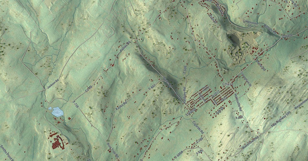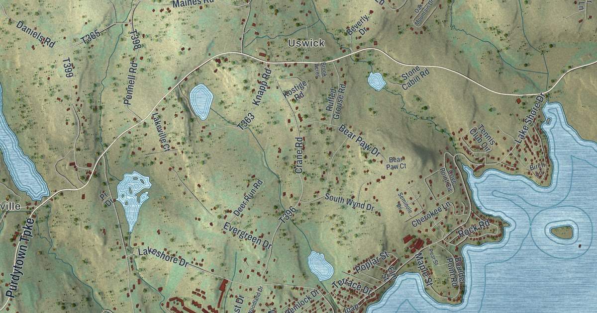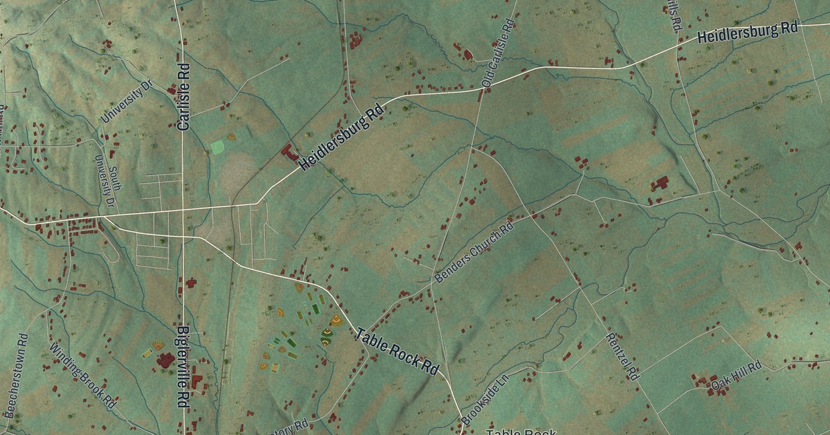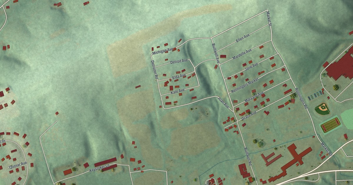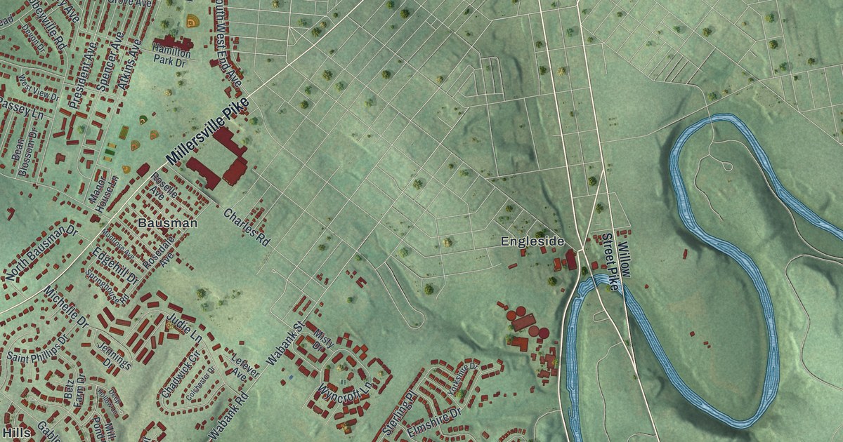
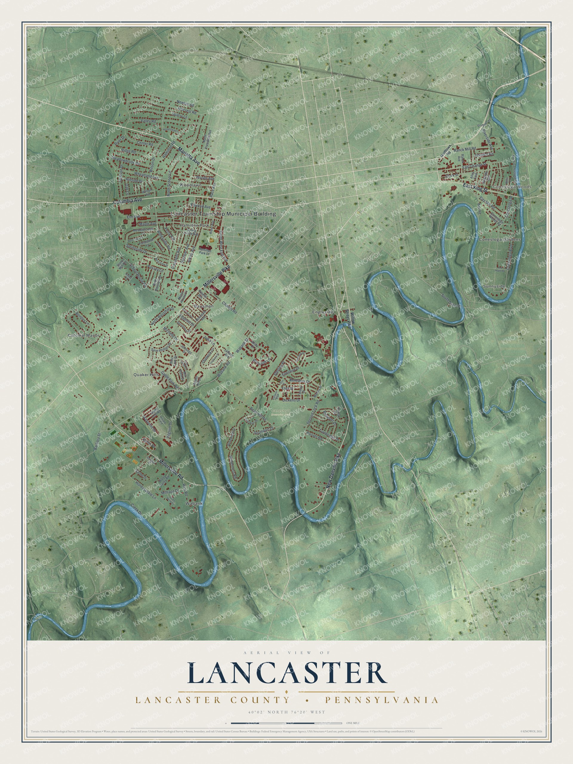
This beautifully detailed map of Lancaster Township, Lancaster County, Pennsylvania was created in 2026 using aerial imagery combined with modern topographical, census, street and landmark data. It's a modern aerial view of Lancaster Township, Lancaster County in Lancaster County, Pennsylvania, that combines modern data with a vintage aesthetic. The roads feature printed names, and if you look closely you can find your exact house accurately shown in its correct location.
Explore an aerial view of Lancaster Township, Lancaster County, Pennsylvania
On this map you'll find Lancaster Township Municipal Building, Conestoga Woods, Comet Field, Conestoga Memorial Park, Bausman, Colonial Manor, Conestoga Gardens, Engleside, Hamilton Park, Quaker Hills, Sunnyside, Wabank, and more. Each red shape is a building, so zoom in on the preview and look for yours.
Every town has a first chapter, and Lancaster Township, Lancaster County is no exception. The PA Historical and Museum Commission puts it this way: "A slackwater canal between Lancaster and Safe Harbor, built following the company's incorporation in 1825, facilitated access to Philadelphia, Baltimore, and other ports. This canal's 18-mile course included nine sets of locks and dams; Lock No.1 was here."
Lancaster Township, Lancaster County is a place in Lancaster County. The Census Bureau counted 18,642 people here in 2020.
Take a closer look at the Lancaster Township, Lancaster County map
Names on this map
These names are printed on this map.
Places: Lancaster Township Municipal Building, Conestoga Woods, Comet Field, Conestoga Memorial Park, Bausman, Colonial Manor, Conestoga Gardens, Engleside, Hamilton Park, Quaker Hills, Sunnyside, Wabank and Woodlawn.
Streets and roads: Marietta Avenue, Columbia Avenue, New Danville Pike, East King Street, Millersville Pike, Millersville Road, South Duke Street, Judie Lane, Abbeyville Road, Hamilton Road, Ranck Mill Road, Wabank Road.
More street names, A to Z
Alley East, Armel Drive, Atkins Avenue, Barbara Street, Baron Drive, Barton Drive, Bean Blossom Drive, Bean Hill Road, Belle Valley Road, Bentley Lane, Betz Farm Drive, Betz Road, Brewster Drive, Center Road, Chadwick Circle, Charles Road, City Mill Road, Clark Street, Colchester Drive, Conestoga Boulevard, Conestoga Drive, Conestoga Woods Road, Creek Drive, Deep Hollow Lane, Devon Drive, Dickens Drive, East Orange Street, Edgehill Drive, Edington Place, Eliot Street, Ellwood Avenue, Elm Avenue, Elmshire Drive, Fairfax Drive, Fieldstead Lane, Gable Park Road, Green Spring Circle, Grofftown Road, Hamilton Park Drive, Hillcrest Road, Hilliard Field, Hillside Drive, Homestead Lane, Honeysuckle Lane, Hoover Road, Jackson Drive, Jamaica Road, Jennings Drive, Kentshire Drive, Lefever Avenue, Malory Street, Manor House Lane, Maple Avenue, Meadowbrook Road, Meadowcreek Lane, Michelle Drive, Mill Pond Drive, Millrace Drive, Misty Drive, Montrose Avenue, Newton Road, North Bausman Drive, North Conestoga Drive, North President Avenue, North School Lane, Oak Lane, Parkside Avenue, Passey Lane, Perry Avenue, Pilgriim Drive, President Avenue, Quarry Lane, Rabbit Hill Lane, Race Avenue, Ranck Avenue, Red Maple Road, Rice Road, Rider Avenue, Ridge Road, River Drive, Riverside Avenue, Rosedale Avenue, Roselle Avenue, Rosewood Drive, Saint Phillips Drive, School House Road, Second Lock Road, Southport Drive, South West End Avenue, Spencer Avenue, Spring Grove Avenue, Springhouse Road, Springside Drive, Sterling Place, Stone Mill Road, Tolstoy Court, Turnbridge Drive, Twain Street, Valley Road, Voltaire Boulevard, Wabank Street, Water Leaf Road, Water Valley Road, Waypoint Drive, West View Drive, Wheatland Avenue, White Water Road, Wilderness Road, Willis Lane, Willow Street Pike, Wilson Avenue, Wilson Drive, Woods Avenue, Wyncroft Lane, Yorkshire Drive.
See it on a wall
The Lancaster, Lancaster County map as a framed print. Swipe for more.


Created by KNOWOL in 2026. The buildings are small red shapes, the roads carry their printed names, and shaded relief shows the shape of the land. The title panel reads "AERIAL VIEW OF LANCASTER, LANCASTER COUNTY • PENNSYLVANIA" with 40°02' NORTH 76°20' WEST.
Hang it in the hallway, the office or the cabin, or give it to someone who left Lancaster Township, Lancaster County and still calls it home. Open the preview and look for a street you know. See sizes and frames for the Lancaster, Lancaster County map.